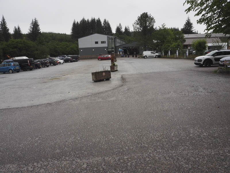
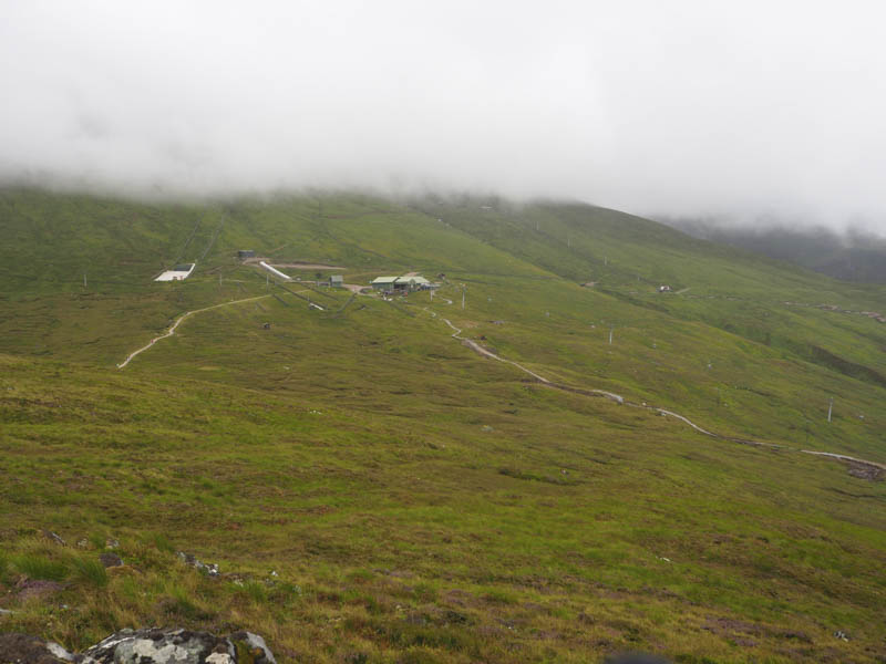
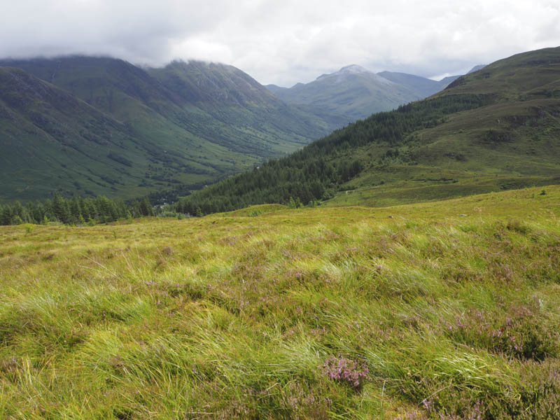
Sgurr Finniosgaig – This hill was located north of the Nevis Range Gondola Top Station in Lochaber. My starting point was the Nevis Centre located at the end of the public road accessed off the A82 Fort William to Spean Bridge Road. Payment is required to leave vehicles in the car park, controlled by barriers, and there is no stopping on the access road. However there are several lay-bys which can be used. I left my car in one around 400 metres from the Centre.
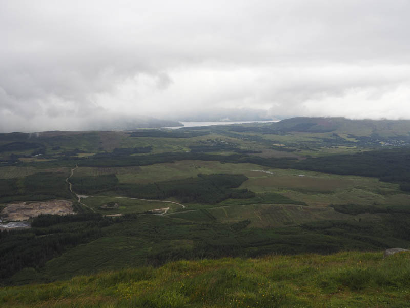
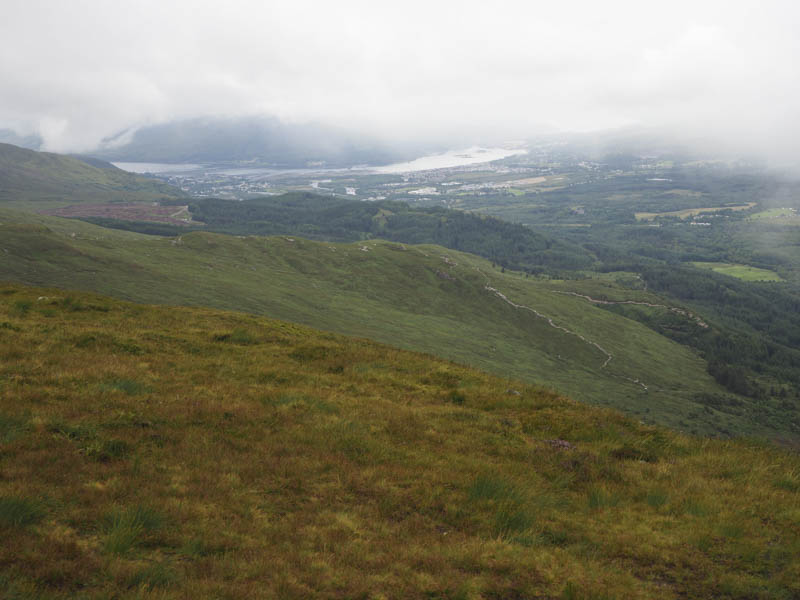
I walked back to and through the Centre then to the start of the various trails heading uphill, south-east, through the forest. The area was a bit of a mess with the amount of trails some of which were no longer in use and taped off. There was also extensive work underway on the lower section of the downhill mountain bike trail. I wound my way uphill using various trails, sometimes below the Gondola, which started up not longer after I set off.
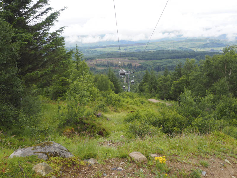
On emerging from the forest I followed the mountain bike trail which was rather rough. There was no alternative walking route.
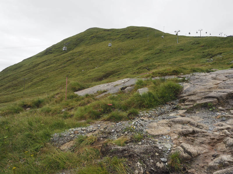
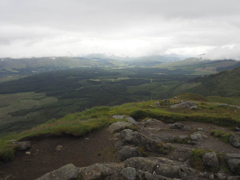
Higher up work was in progress on the trail and at this point I left it and climbed east through wet grass onto Sgurr Finniosgaig which was busy with tourists having walked across from the Gondola Station. The highest point of this Graham Top was a rock.
The return was by the upward route although once back in the forest different tracks were used.
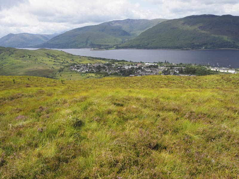
Cow Hill – The starting point for this hill was the top end of Lundavra Road in the Upper Achintore area of Fort William, reached from the A82 at the West End Roundabout. There was space for a single vehicle opposite the start of the signed route for Cow Hill and Glen Nevis.
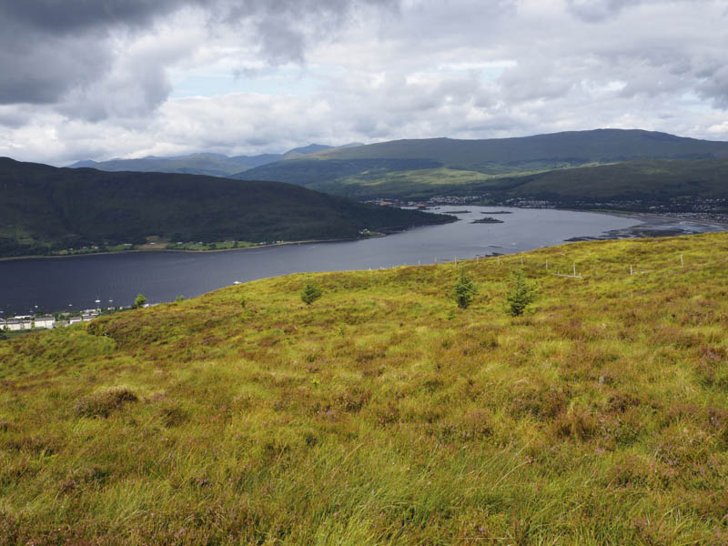
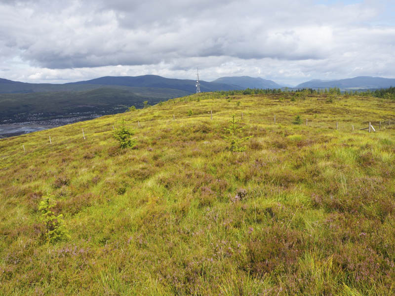
The path, in reasonable nick, was followed east then south before returning to an easterly direction always gaining some height. At a junction of tracks a signpost indicated the route north towards the summit of Cow Hill while continuing east led down into Glen Nevis. I walked north and on passing through a gate in a stock fence realised the summit of Cow Hill indicated by the signposts was the communications tower and not the actual highpoint which was around 600 metres to the south. I therefore followed the stock fence west then crossed it to reach the highpoint of this Tump, marked by a cairn.

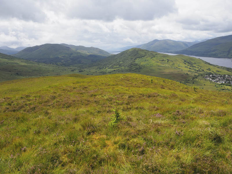
The return was by the ascent route without crossing the stock fence.
- Total time taken – 4.75 hours.
- Total distance – 12.75 kilometres.
- Height climbed – 825 metres.