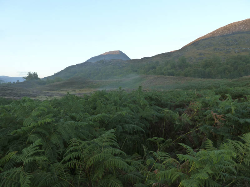
After an overnight stay at the Saddle Mountain Hostel in Invergarry, I drove to the hamlet of Fersit accessed from the A86 east of Roy Bridge. The sun was rising and hitting some of the higher tops as I parked on a large area of rough ground at the end of the public road.
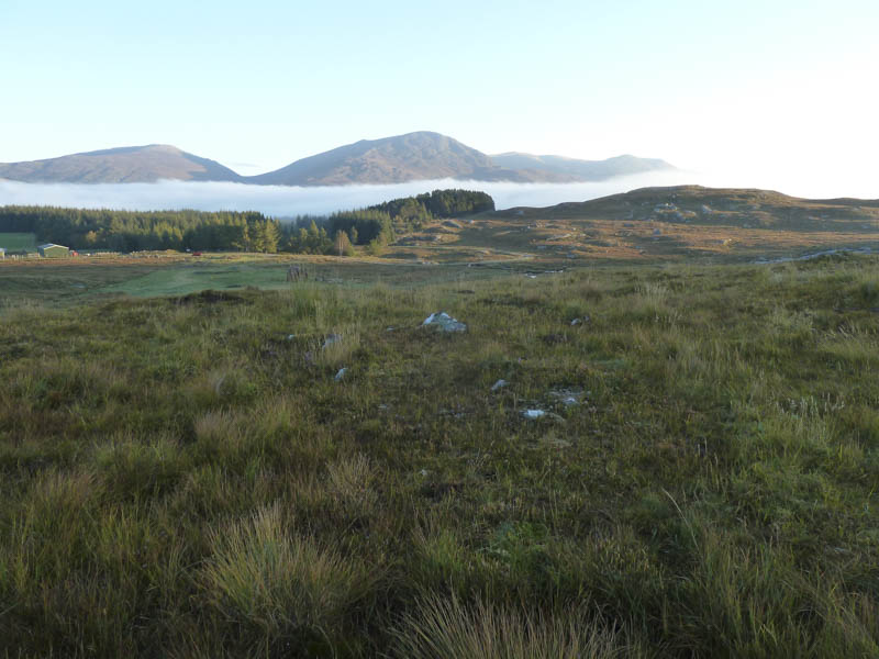
I then walked along the vehicle track through the hamlet of Fersit, a Right of Way to Corrour Station, crossing the bridges over the River Treig and the West Highland Railway line.
Beyond the houses a small gate in the deer fence, which I had previously used to access the hills, was tied down so I continued eastwards to a vehicle track which led to a hut and cattle troughs. The track came to an end here so I crossed rough, wet ground, churned up by cattle, before aiming for the Allt Chaorach Beag where there was an intermittent grassy path which became more obvious.
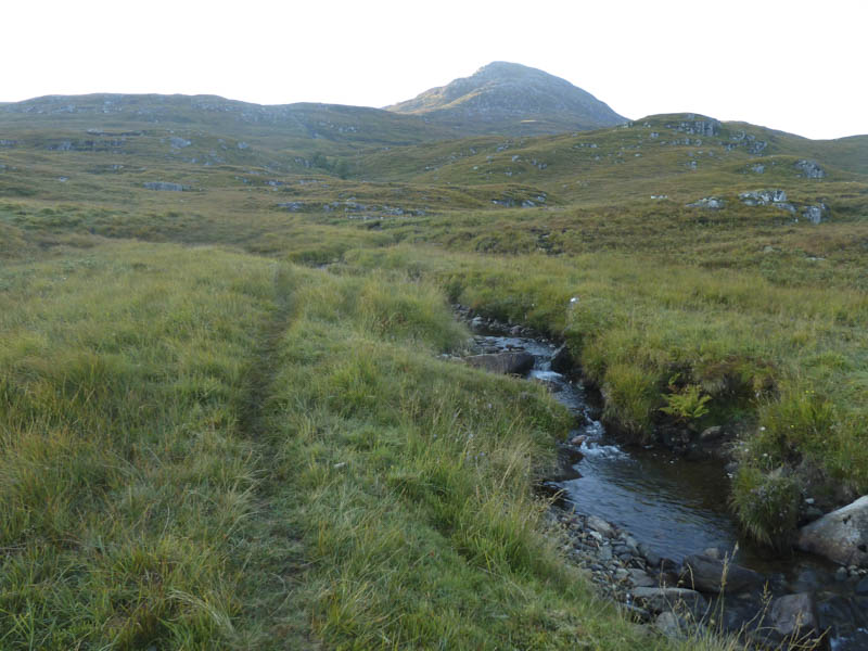
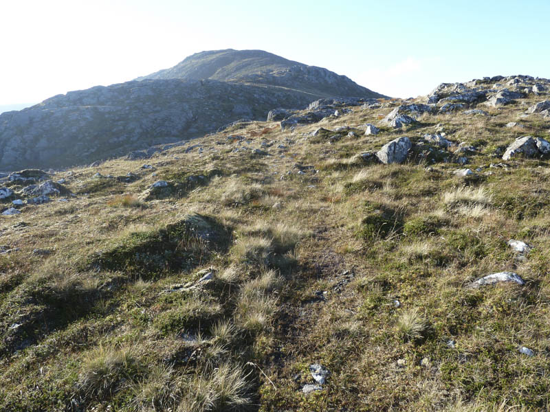
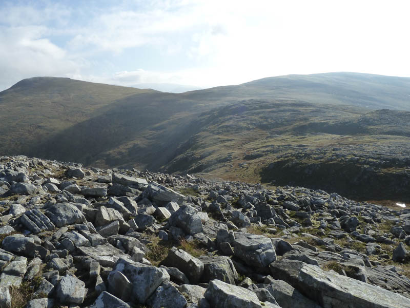
A few waterlogged sections required avoiding and once higher up I left this route and headed west over more rough ground to climb the gully on the north side of Sron na Garbh-bheinne. I then headed through some rocks to gain the north ridge where it was windy and despite the sun a bit chilly.
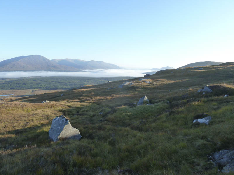
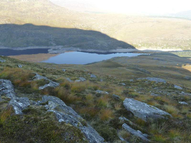
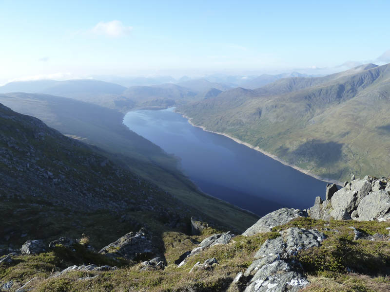
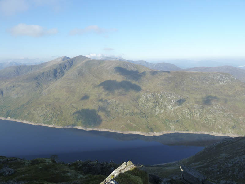
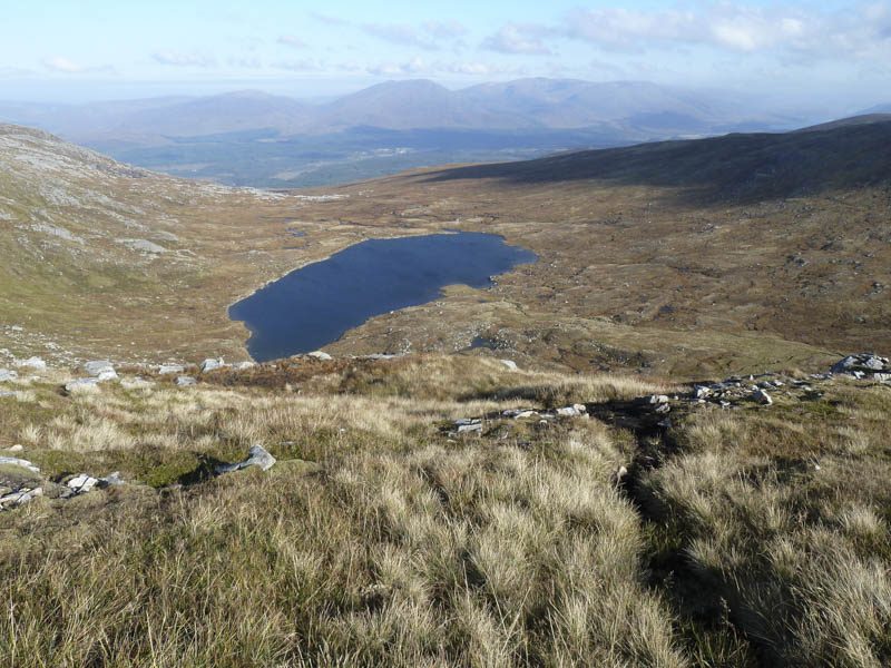
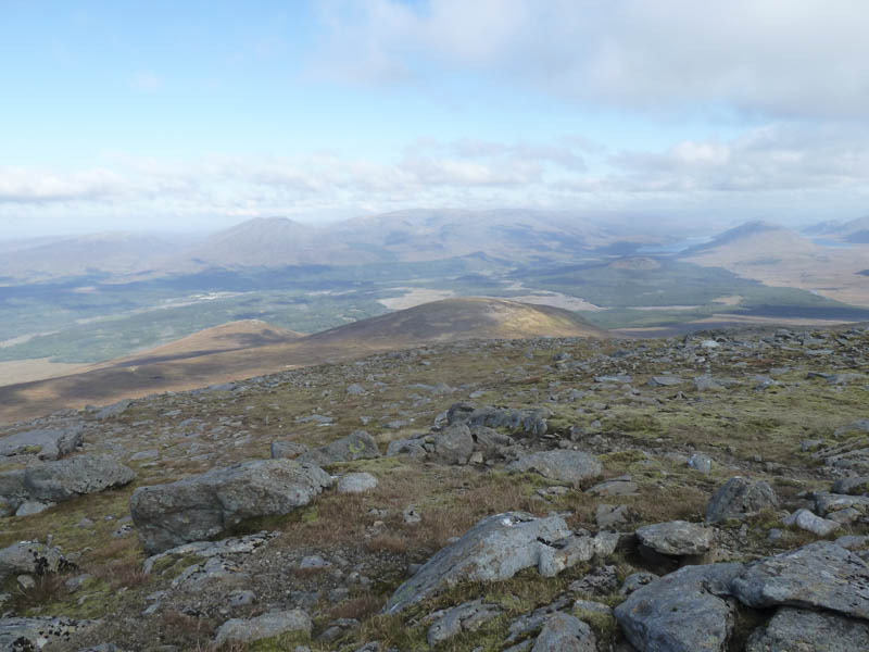
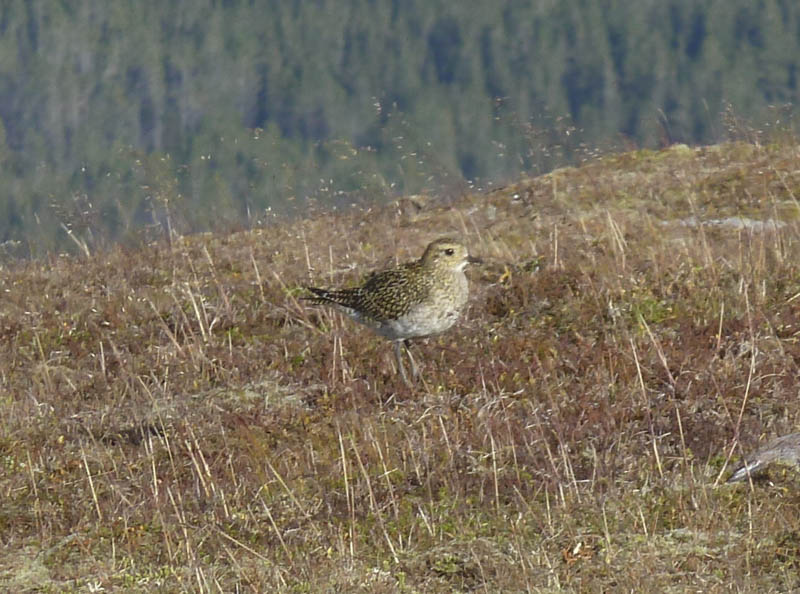
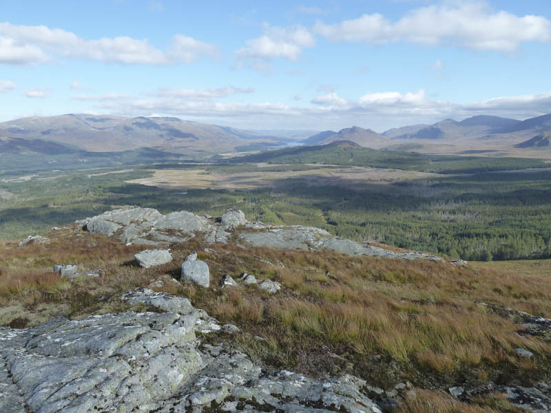
There were lots of roaring from the stags as I walked along this ridge, round a small corrie, and onto the summit of Sron na Garbh-bheinn. I continued south on another intermittent path and ascended the Munro, Stob Coire Sgriodain, with good views down to Loch Treig and across to The Easains.
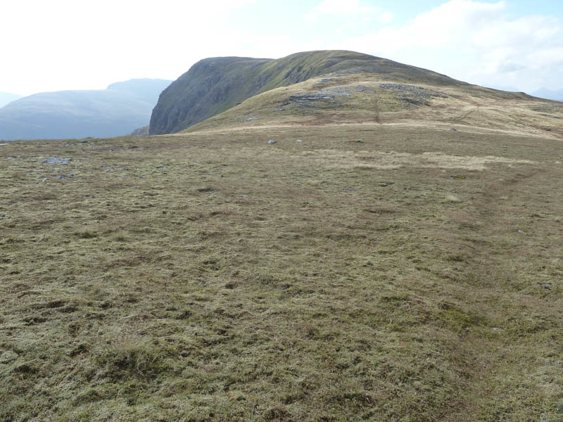
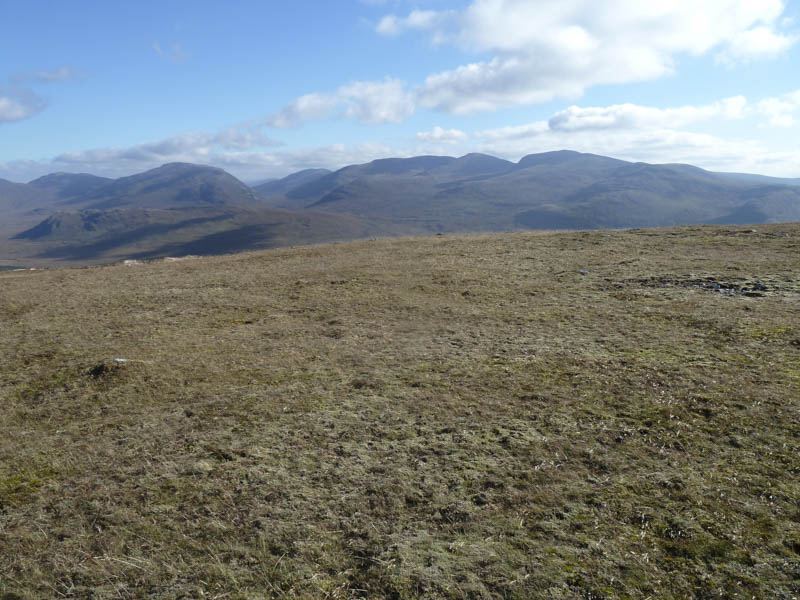
However it was rather chilly so I didn’t linger and descended south then climbed the Munro Top, Stob Coire Sgriodain South Top.
There was more cloud around as I headed for the 924 knoll then to the col with Chno Dearg before commencing the mainly grassy ascent of this Munro.
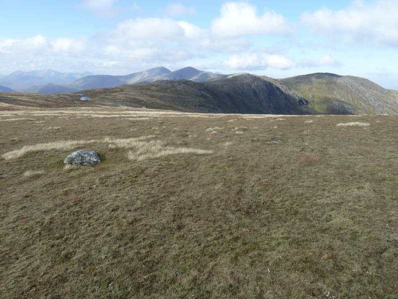
The cairn marking the summit of Chno Dearg was reached but it was cold and windy here so I descended north-east across some bouldery terrain to the col with Meall Chaorach. Here an ATV track helped finding a route through the peat hags then it was across short cropped heather to a pile of stones marking the summit of this Corbett Top.
The descent north then north-west was through some tussocky vegetation and took me to the col with Creag Dhubh where more peat hags were crossed. I then ascended this Tump, the highpoint being a rib of rock.
A rough descent north-west led to the Corrour Path, which was rather wet, muddy, and had been churned up by cattle. After crossing the bridge over the Allt Chaorach Beag the vehicle track was followed back to Fersit.
- Time taken – 6 hours.
- Distance – 15.25 kilometres.
- Height climbed – 1055 metres.