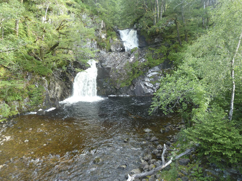
We left our vehicles in the car park at Chia-aig Falls, located at the west end of the Mile Dorcha on the B8005 Gairlochy to Loch Arkaig Road.
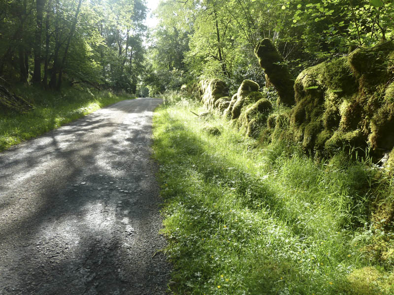
The path up Gleann Cia-aig, on the east side of the Abhainn Chia-aig, was closed due to the construction of a hydro dam further up the glen. The diversionary route meant walking east along the B8005 for 600 metres to the start of a vehicle track with numerous signs for walkers and employees.
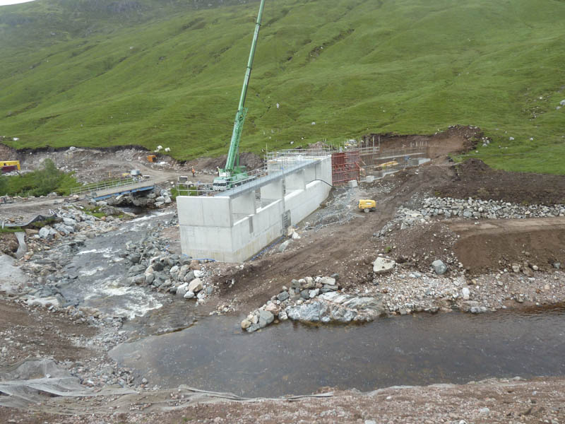
The track headed north-east through the forest and at a junction we took a left back towards Gleann Cia-aig. A number of portable buildings and large construction vehicles were passed as the wide track continued up the glen to the point where a crane was in position for the building of the dam.
Beyond, the old track led through the trees and to a stile which we crossed and here encountered the first shower of the day.
A wet path along the side of the Abhainn Chia-aig took us to a footbridge and once across it two of the party headed for the nearby Corbetts. Myself and another member walked north-east, initially on a wet path but it soon disappeared amongst a mixture of long vegetation and wet, marshy ground.
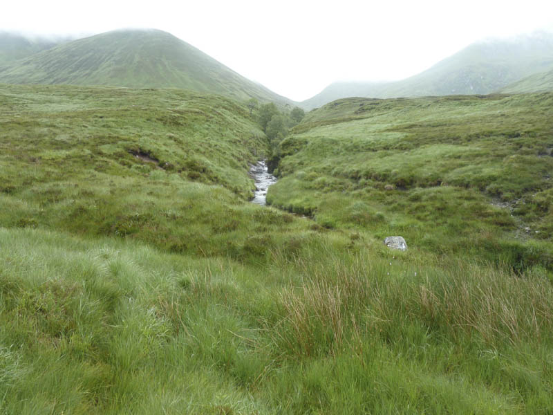
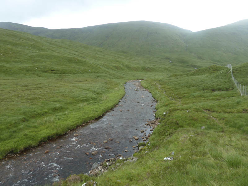
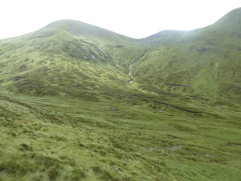
We reached and crossed the stream that came down from Fedden to the north then walked through more rough ground on the north side of Allt Cam Bhealaich.
A short climb took us onto a little used path that led to Cam Bhealach.
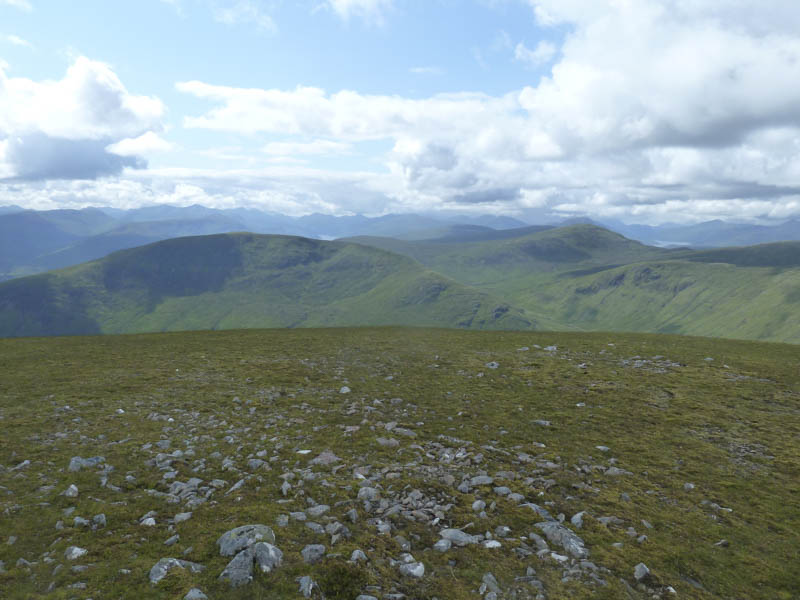
From there a zigzag path made for a quick ascent towards the Munro, Sron a’ Choire Ghairbh. I made a short diversion to climb the Sub Simm, Sron a’ Choire Ghairbh East Top, before joining my companion at the cairn marking the summit of Sron a’ Choire Ghairbh.
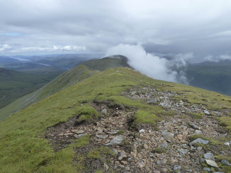
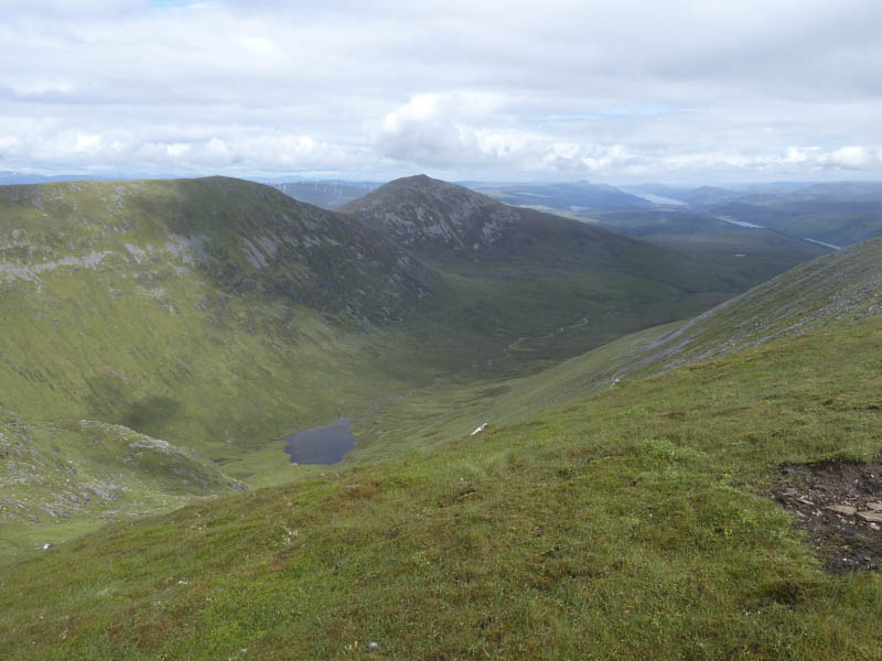
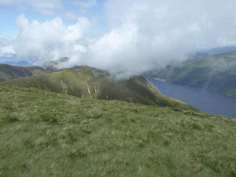
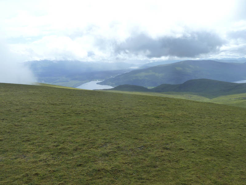
We returned to Cam Bhealach and commenced the ascent of Meall na Teanga but after some height gain I left the path and climbed to the summit of the Hump and Corbett Top, Meall Dubh. This would have been a good viewpoint down to Loch Lochy and the Great Glen if it wasn’t for the cloud that engulfed the hill as I approached its summit.
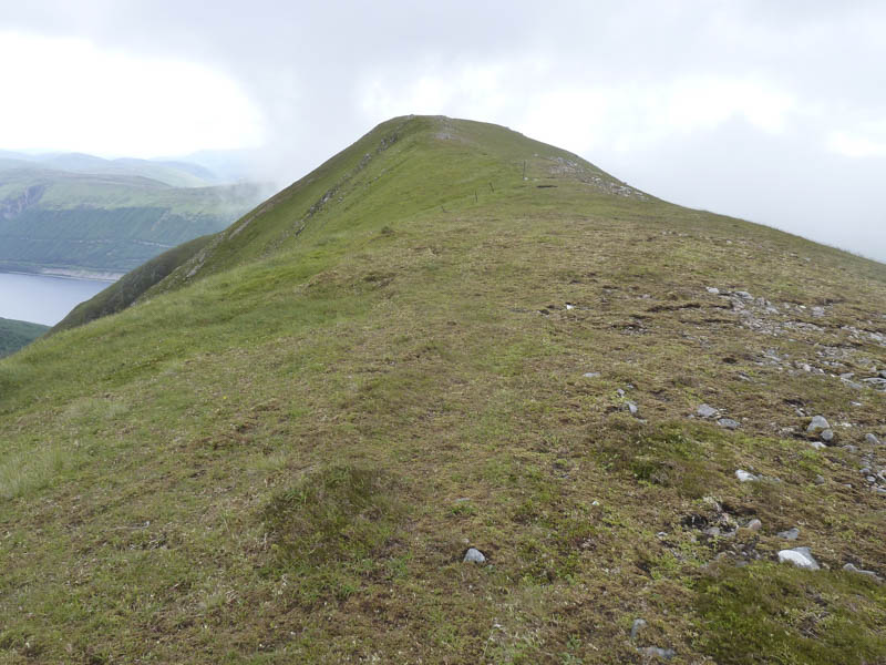
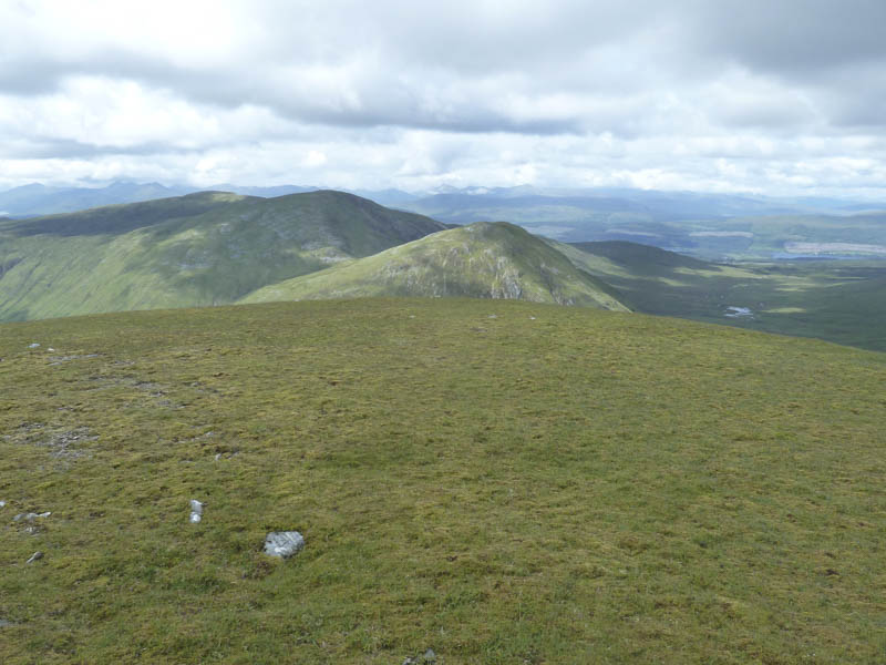
I descended back to the path and from there climbed to the cairn marking the summit of the Munro, Meall na Teanga, where I rejoined my Munro Bagging partner.
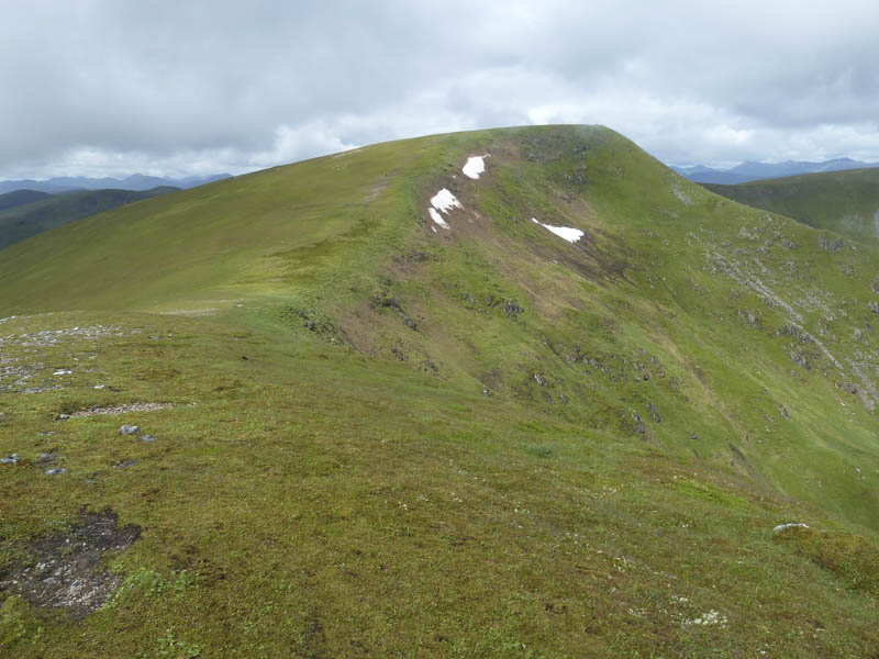
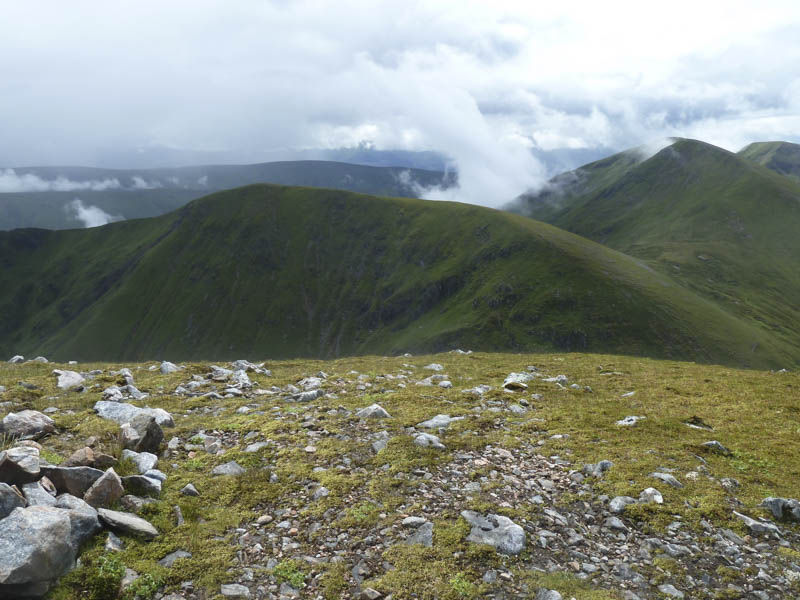
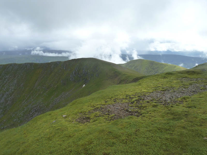
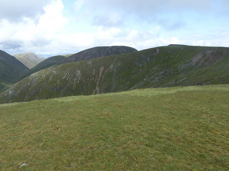
We descended south-west then climbed through some rocky areas to reach the summit of the Corbett Top, Meall Coire Lochain, before continuing round Coire Odhar Beag, over Meall Odhar, and round Coire Odhar Mor.
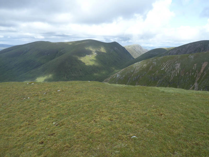
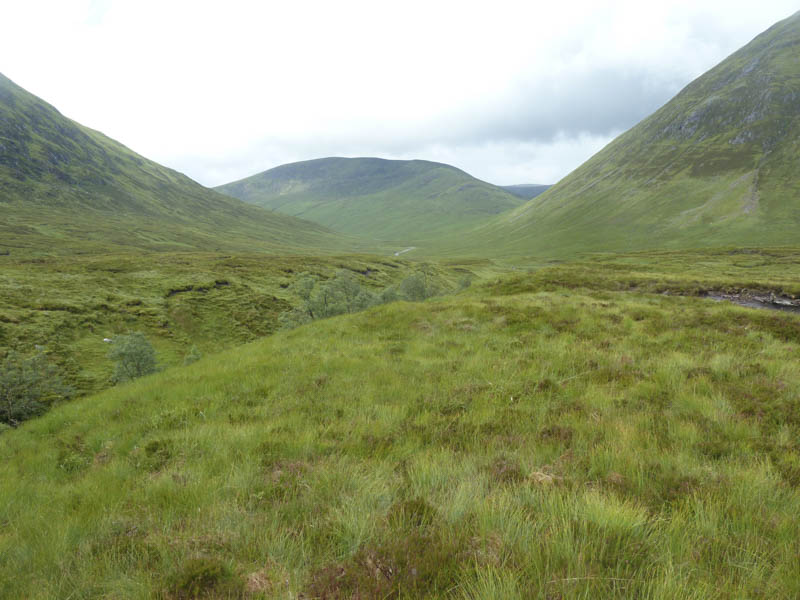
It was then a relatively easy descent through mixed vegetation to the stile in Gleann Cia-aig. Here we met the other two members of the group before heading back down the glen.
- Time taken – 9 hours.
- Distance – 25 kilometres.
- Height climbed – 1620 metres.