I left my car in lay-by 79, located on the west side of the A9 Inverness to Perth Road at Drumochter, which was beside the start of the estate track to Coire Dhomhain.
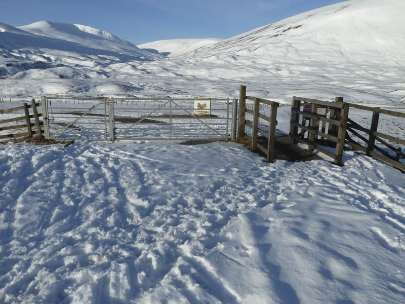
I set off along this track which took me south to a railway underpass then back north on the other side of the railway line before heading west towards Coire Dhomhain.
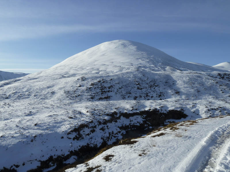
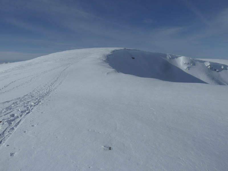
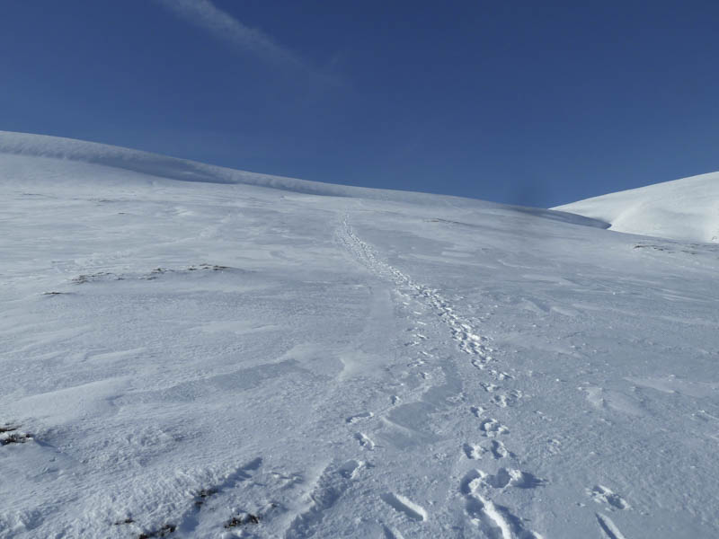
On reaching the first bridge over the Allt Coire Dhomhain, (there appeared to be three new bridges) I crossed the stream and briefly followed another estate track. I then climbed the snow covered Sgairneach Mhor East Top where the summit of this Sub Simm was marked by a couple of stones.
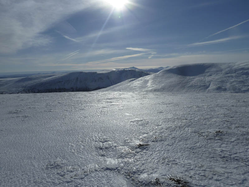
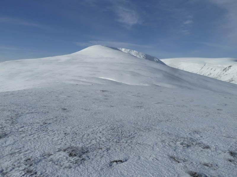
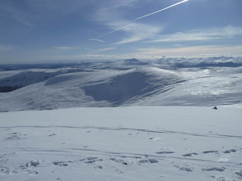
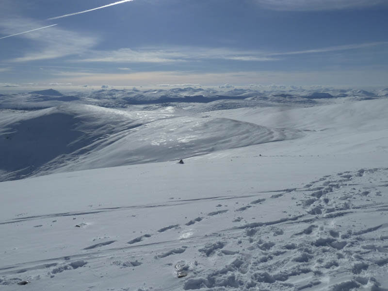
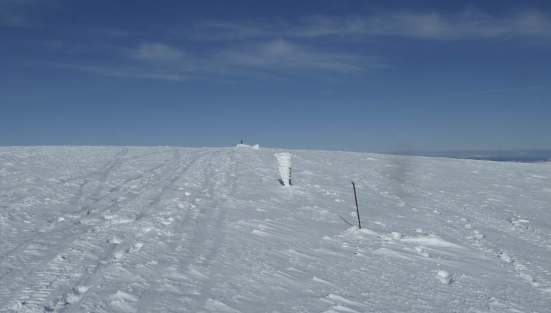
I donned crampons before descending south-west to the col with Sgairneach Mhor then ascended its north-east ridge with outstanding views to the south. On reaching the trig point marking the summit of this Munro I spoke with a couple of chaps who were participants in the Scottish Hills Forum.
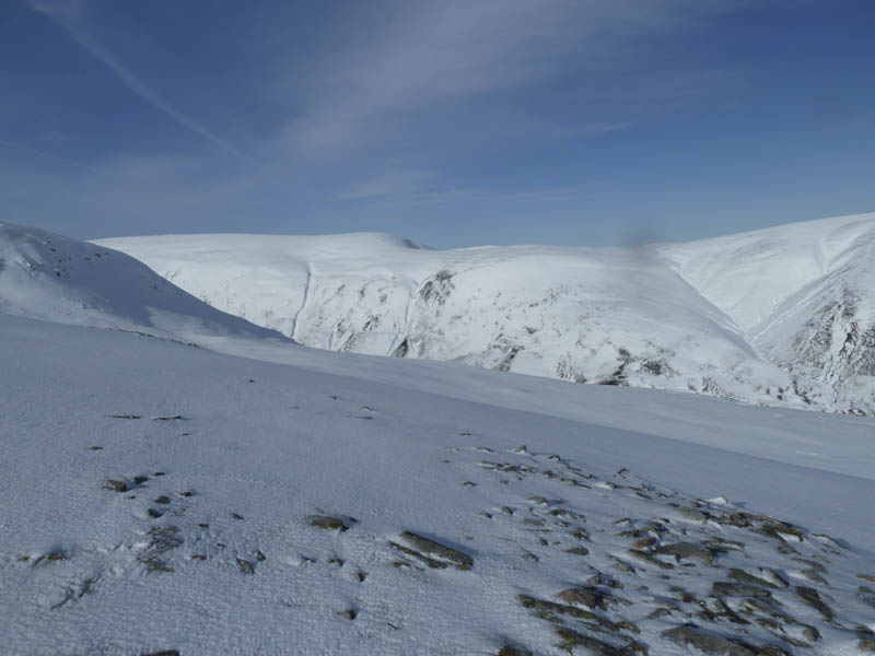
On leaving this summit I made a slight detour to take in the old summit before descending to the col with Beinn Udlamain.
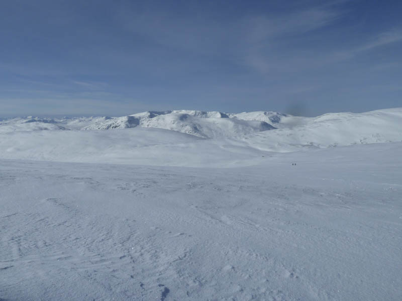
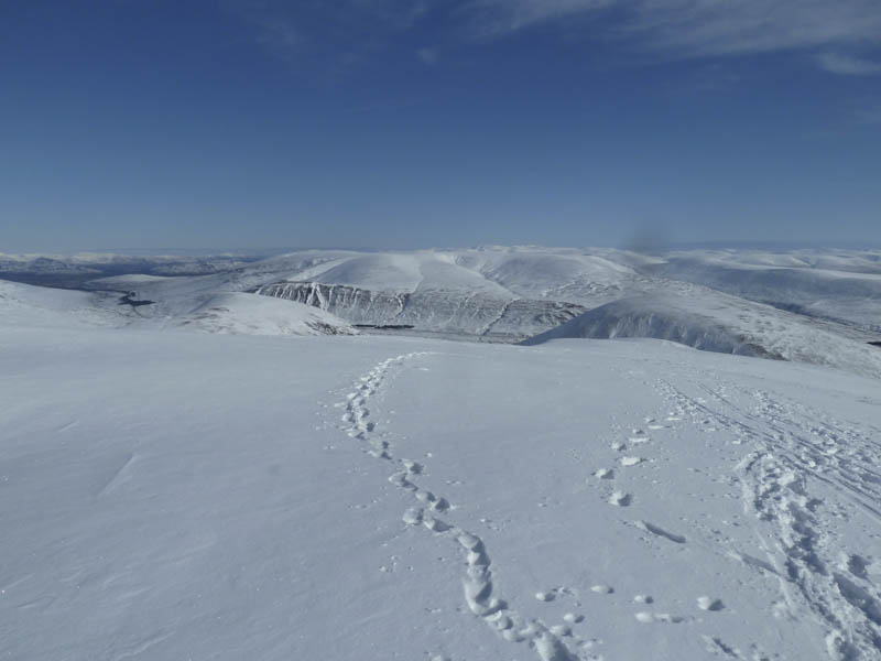
I then ascended this Munro where I met a couple of young chaps one being the owner of a water container I found near the summit of Sgairneach Mhor.
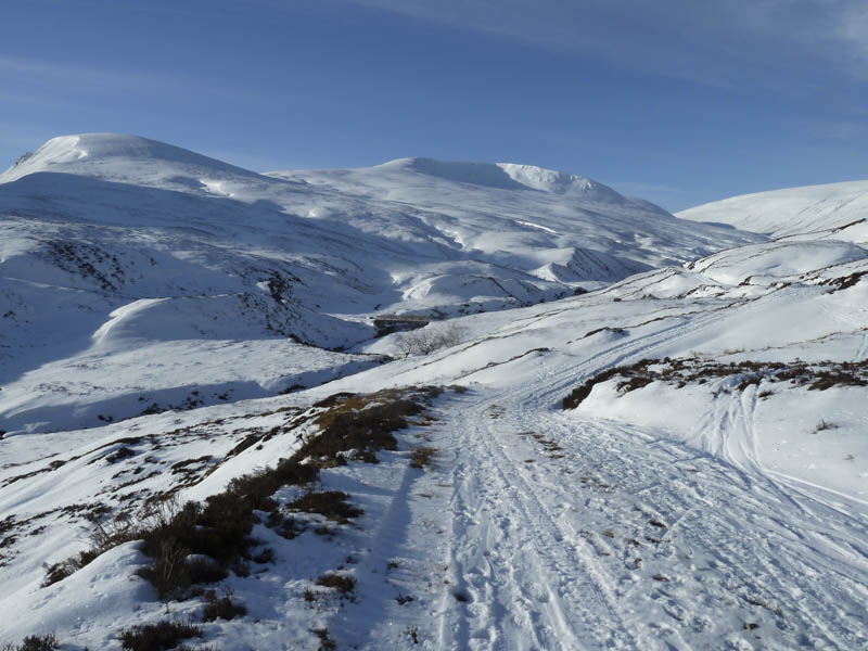
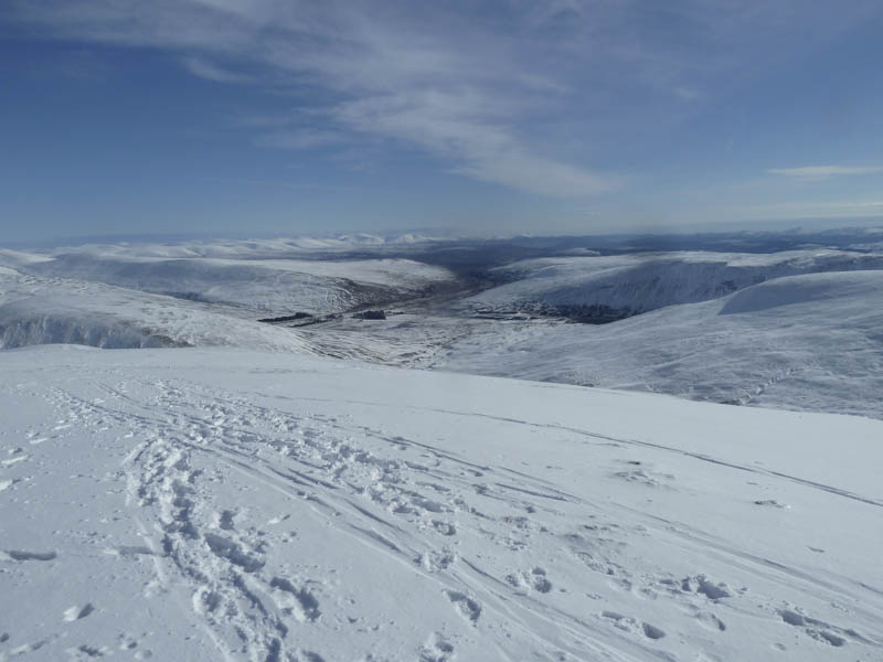
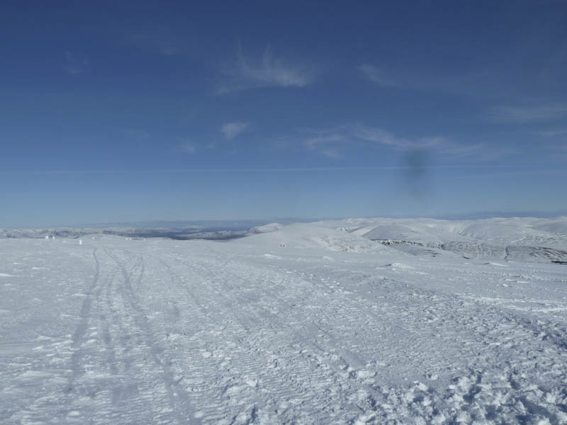
The summit became quite busy so after a break I headed north-east before turning west and descending into Coire Dhomhain, which was a bit tricky in places due to a build up of snow.
On reaching the estate track I used it to return to the A9 after a great day in Alpine conditions.
- Time taken – 6.75 hours.
- Distance – 21 kilometres.
- Height climbed – 950 metres.