The Munros, Gleouraich and Spidean Mialach, are located between the South Cluanie Ridge and Loch Quoich in the West Highlands. To reach the start of their ascent involved driving along the single track road from the A87 Invergarry to Bun Loyne Road, through Glen Garry, then along the north shore of Loch Quoich to west of a new hydro power station and the bridge over the Allt Coire Peitireach. Here there was parking for several vehicles and on my arrival a couple of cars had been left there and a few minutes later two camper vans arrived.
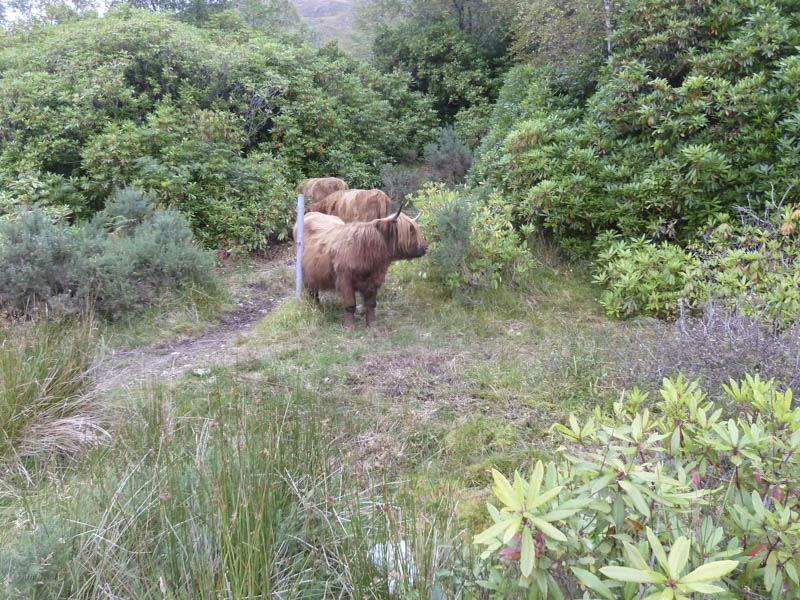
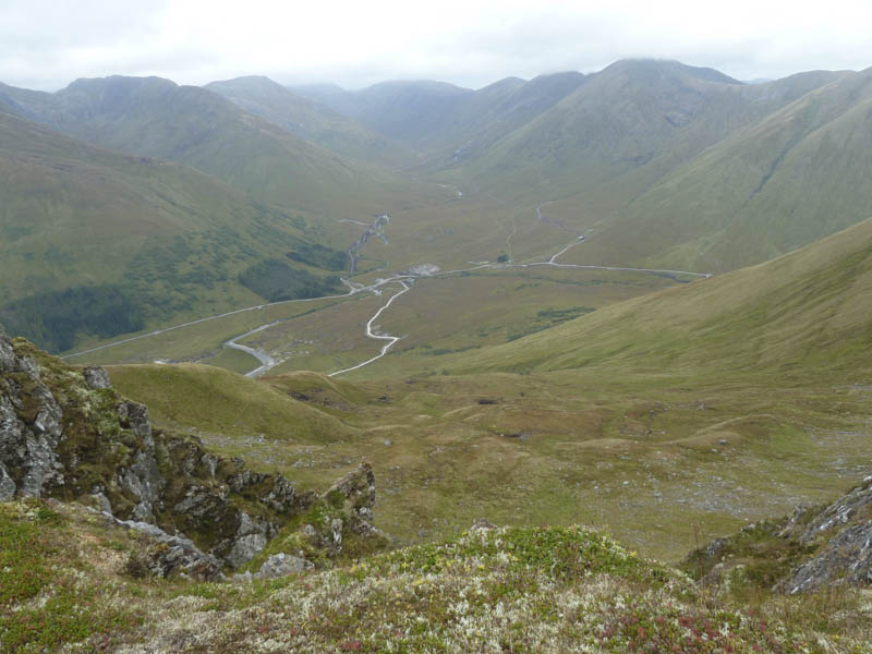
Some Highland cattle were wandering around the area and stopped opposite the parking area blocking the start of the path for Gleouraich. They were a bit nervous as I moved them to access the path through the rhododendrons and up the side of the Allt Coire Peitireach. There were views across Loch Quoich to Gairich and west towards Ben Aden and Sgurr na Ciche.
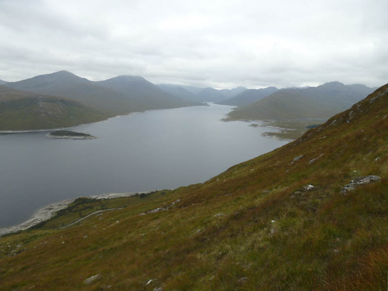
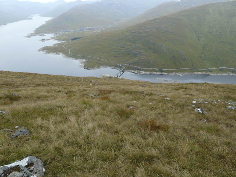
The path, an old stalker’s route, zigzagged onto Druim Seileach’s South Ridge where I stopped for a while listening to the roaring of the stags, the rut being in full swing. Afterwards I continued along the path below Druim Seileach and noted that a number of small hydro schemes were under construction around Alltbeithe in Glen Quoich.
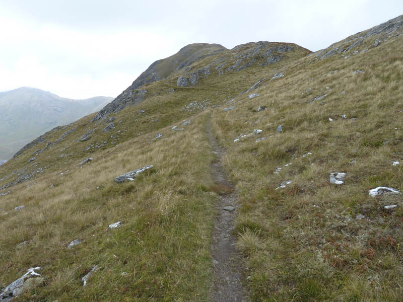
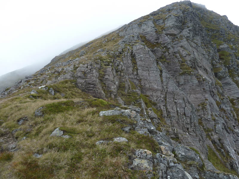
The stalker’s path swung east then came to an end at a butt, a good observation point for the deer in Coire Peitireach where several stags could be heard roaring. A walker’s path led more steeply onto Gleouraich’s West Ridge and into the low cloud which had been floating around the tops.
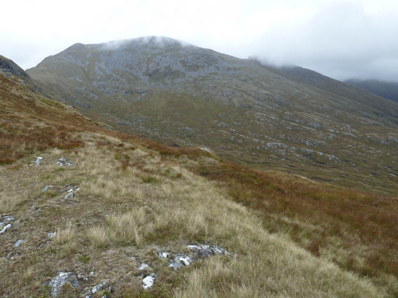
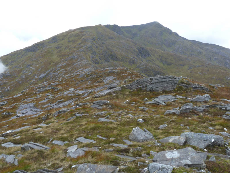
On reaching Gleouraich’s summit cairn and with no views I descended east then made the short ascent to the Munro Top, Creag Coire na Fiar Bhealaich. There was then a fairly long descent south-east emerging from the cloud for a while before returning into the gloom on the steady climb of Spidean Mialach. There were two cairns and I passed a couple going in the opposite direction, as I headed for the higher easterly one.
It was probably a mistake to include the Graham Top, Glac Raineach, as it was a further 2.5 kilometres to the east and heading away from my car. I descended south-east then east on a long descent which later became quite rocky and here it started to drizzle. On reaching the col with the Graham Top I commenced the ascent of the undulating rocky west ridge as the drizzle became heavier. The summit of Glac Raineach was reached visiting a few potential highpoints.
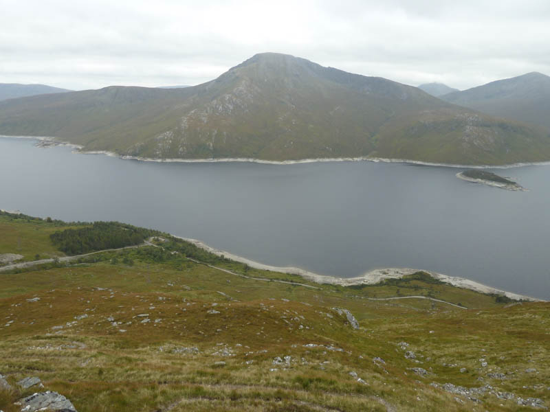
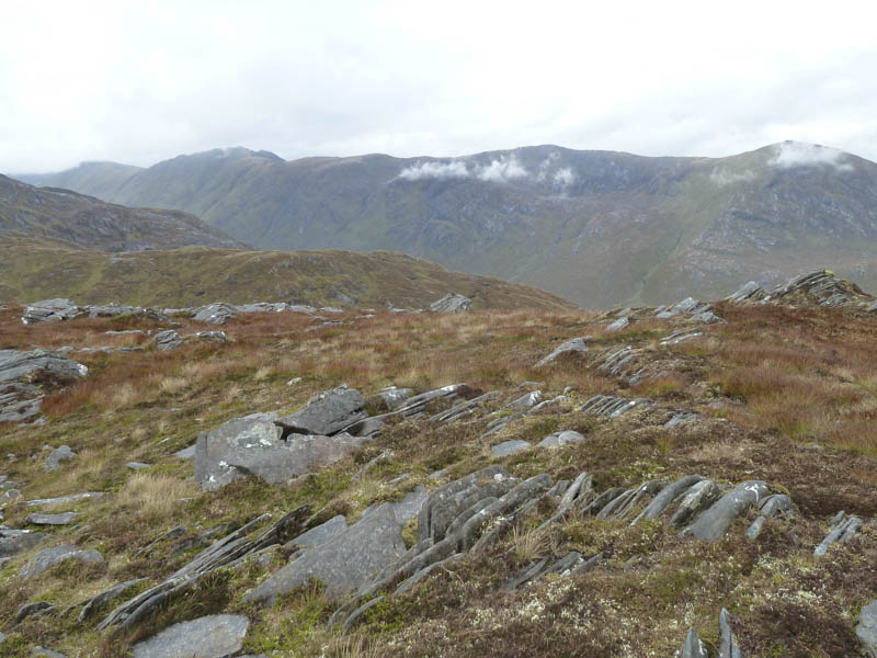
I stopped here for a late lunch before returning to the col with Spidean Mialach as the drizzle ceased and the cloud began to lift with views across to the South Cluanie Ridge.
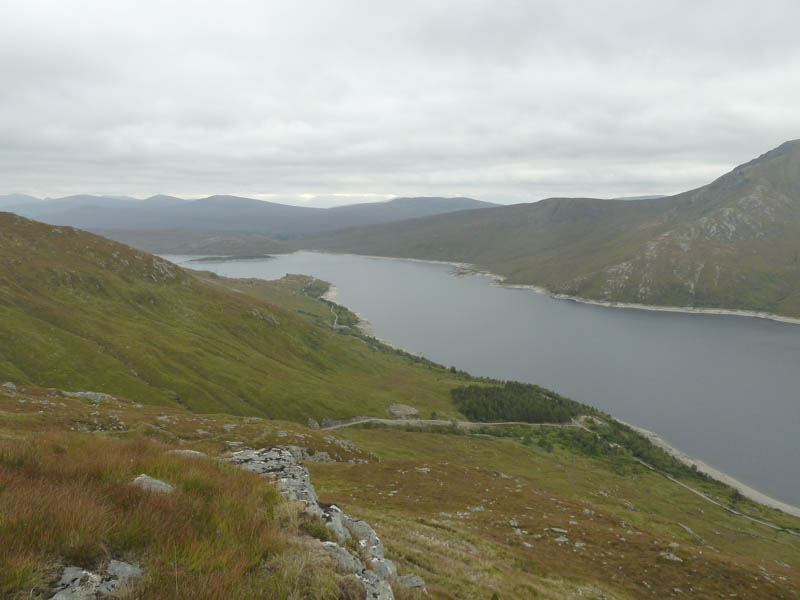
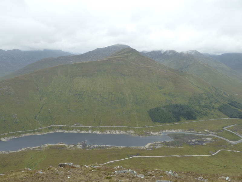
I descended south-west round Coire an t-Seasgaich avoiding areas of slab rock. A bank of cloud hung around here and in the mist I spotted several hinds but they quickly ran off. I was a bit concerned that I was amongst the roaring stags that were close-by. Lower down I emerged from the cloud and aimed for and reached the dam at Loch Quoich. It then involved a road walk of over four kilometres to return to my car as the weather was brightening in the west.
- Time taken – 7.5 hours.
- Distance – 17 kilometres.
- Height climbed – 1390 metres.