We left my vehicle in the parking area on the A93 Braemar to Blairgowrie Road just south of the Devil’s Elbow, (NO139757) and descended via a path to the crossing of the Allt a’ Choire Sheiridh. An ATV track was then followed onto the Leacann Dubh Ridge and with a slight loss of height to the Allt Coire a’ Bhathaich.
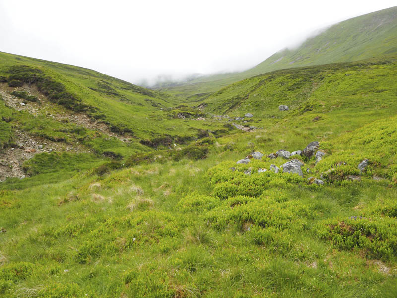
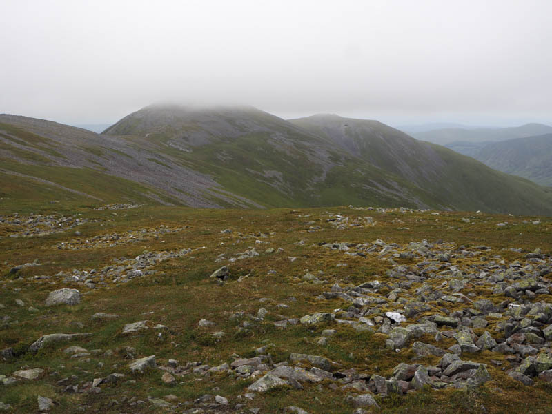
The track disappeared here so we headed north up the side of the stream, crossing it a couple of times, then later leaving it and climbing through heather back onto the Leacann Dubh Ridge, north of a shooter’s hut, and into the low cloud. A rough vehicle track led to a small cairn marking the summit of the Munro Top, Meall Odhar.
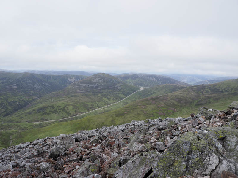
There was then a short descent before we commenced the climb south-east on a path to the trig point marking the summit of the Munro, Glas Maol, where we spoke to three other walkers who were climbing the six Munros.
We then walked back along the ridge for a couple of hundred metres before descending to the col with Creag Leacach. The cloud began to lift and later cleared the tops.
An old stone dyke and old fence posts were followed onto Creag Leacach with the final section across rocks and boulders to reach the cairn marking the summit of this Munro.
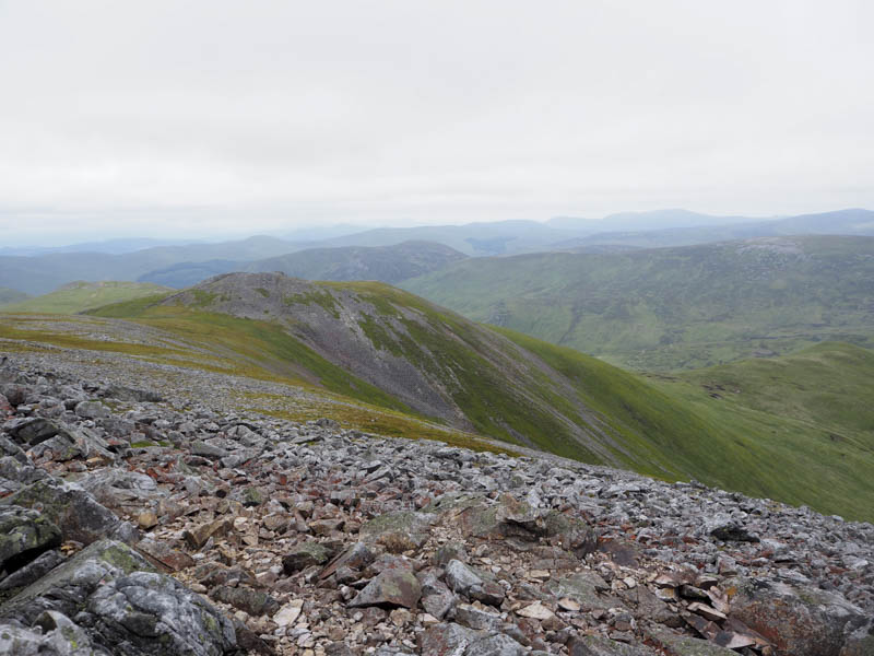
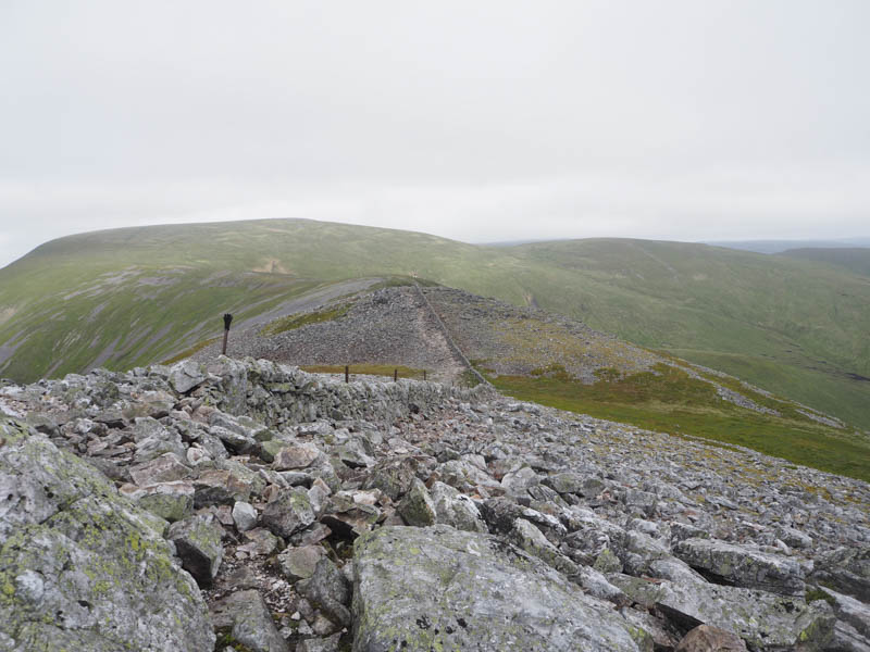
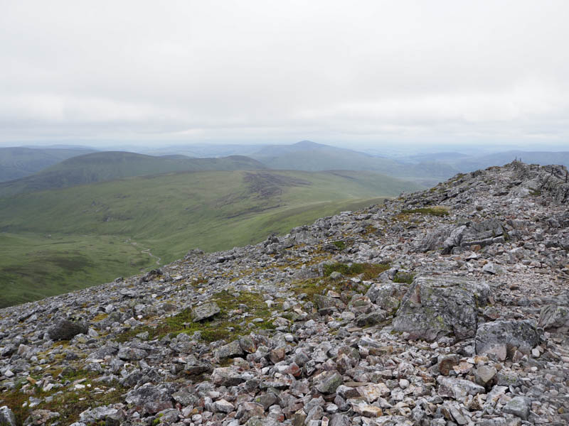
A short descent across rocks led to the col with Creag Leacach South-West Top then more rocky conditions led to the summit of this Munro Top, marked by a cairn.
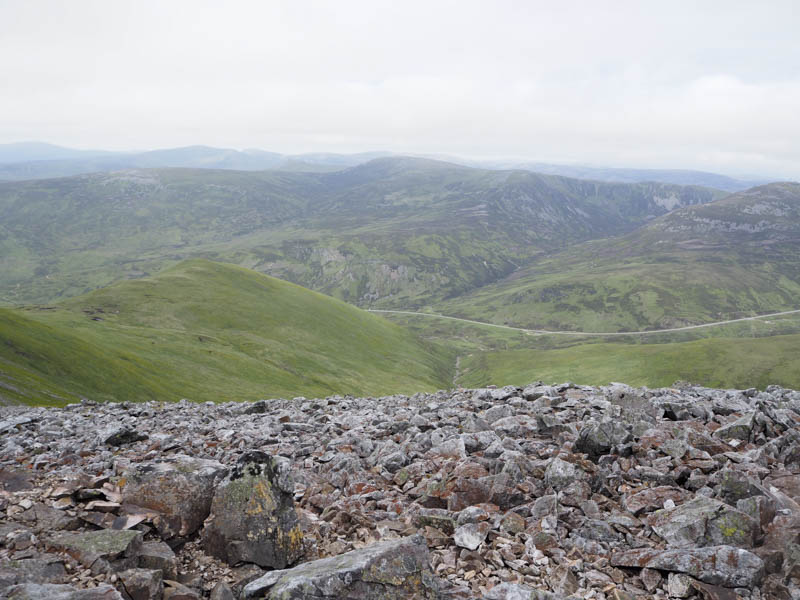
Initially the descent north-west was through rock later replaced by grassy vegetation before we turned and headed north. Eventually we reached and crossed a tributary of the Allt Coire a’ Bhathaich then the Allt Coire a’ Bhathaich itself.
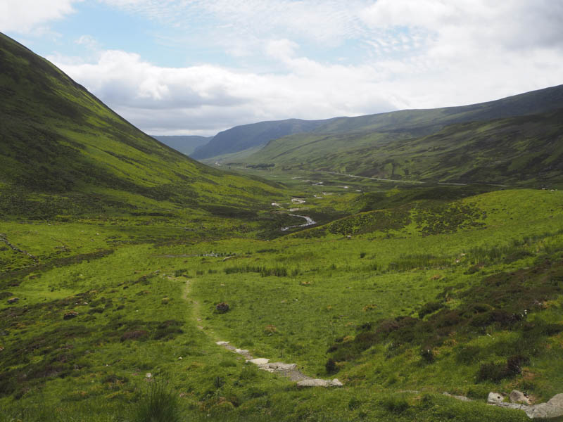
This was followed by a slight height gain to reach the path above this stream which led back to the crossing of the Allt a’ Choire Sheiridhe and the short climb to the car park.
- Time taken – 5.75 hours.
- Distance – 11 kilometres.
- Height climbed 795 metres.