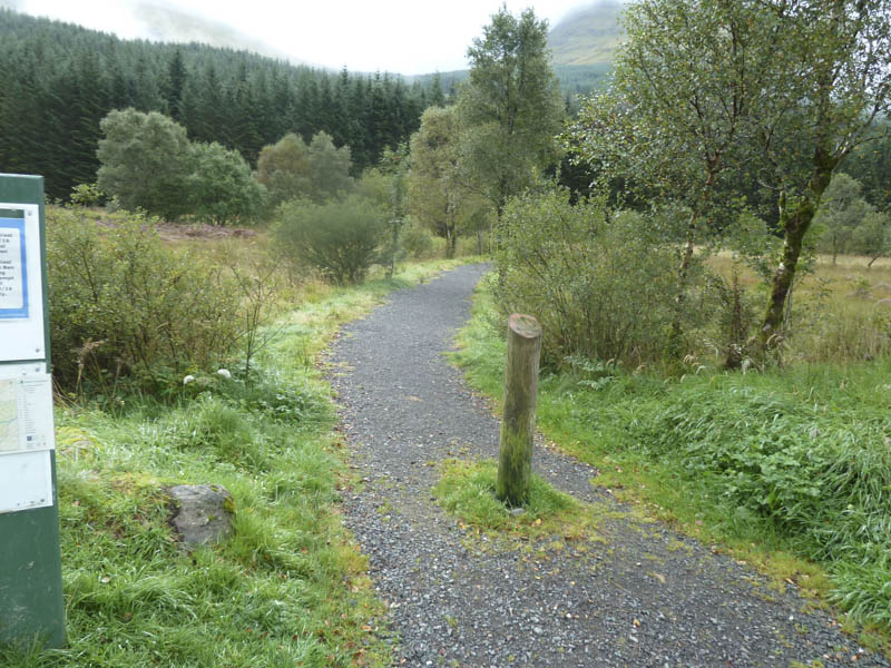
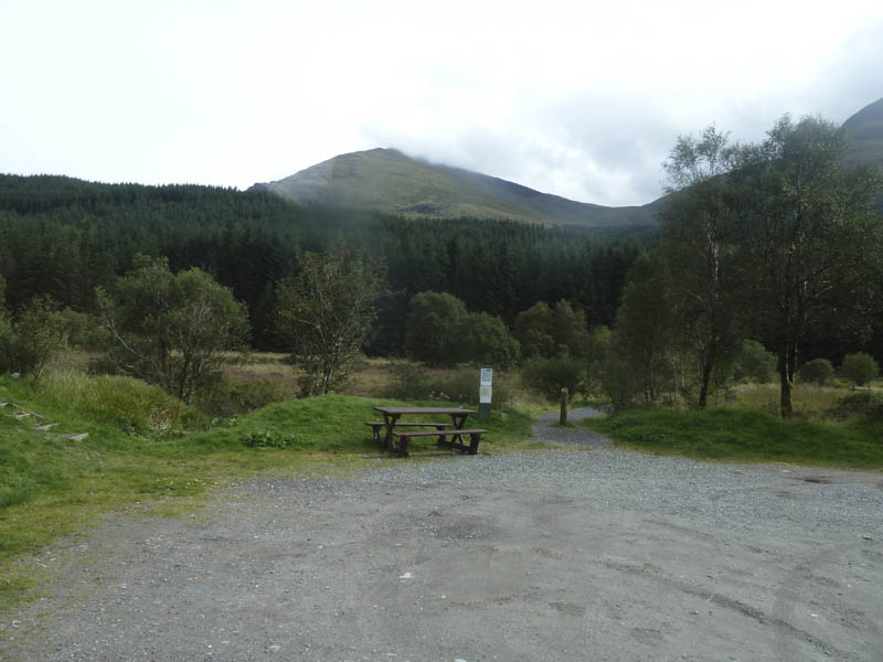
I left my car in the picnic/parking area in Glen Lochy, on the south side of the A85 west of Tyndrum, and walked to and along the side of the River Lochy to the railway bridge over the Eas Daimh.
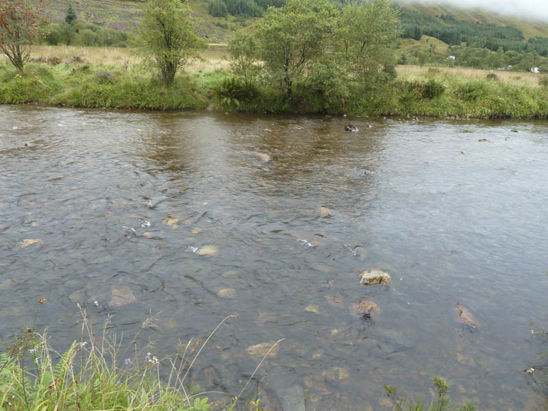
I then had to cross the River Lochy where the water was well over the tops of my boots but with long gaiters on only one foot got damp.
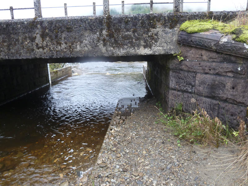
Thereafter I had to crouch as I used the metal grating to go under the railway line although the northern edge of the grating was covered by the water of the Eas Daimh.
A muddy path then took me through the forest following the edge of the Eas Daimh until the track split. I took the right fork which entailed an awkward crossing of the Eas Daimh and led to a new gate and deer fence then an area where the trees had been harvested. At another gate I took a left and walked along the vehicle track until I reached the stream flowing down from the Fionn Choirein.
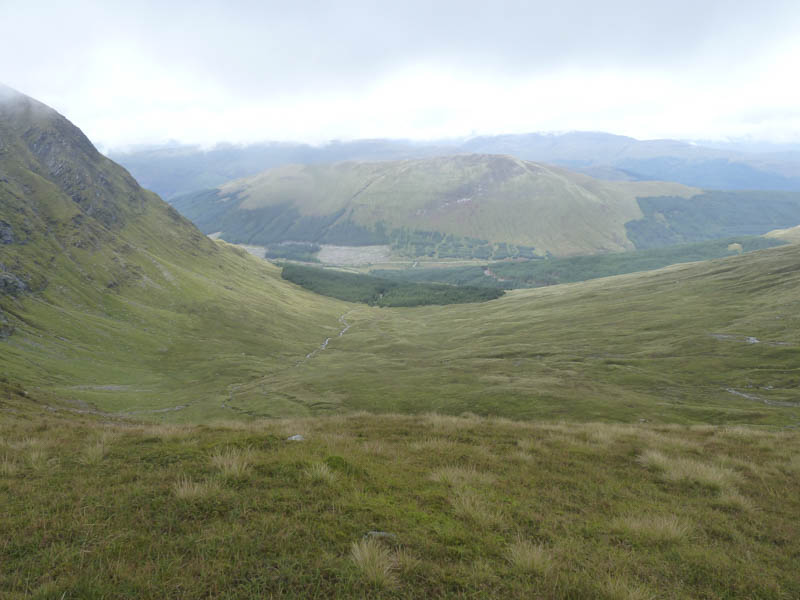
The path up the side of this stream re-entered the trees via a fire break but the path was wet, boggy and badly worn in areas. Before reaching a gate in the deer fence it was like a quagmire and difficult to avoid. Beyond the gate I was onto the open hillside where visibility was limited due to low cloud. A path, which disappeared at times, led through the Fionn Choirein and onto the bealach between Ben Lui and Beinn a’ Chleibh.
I headed for Ben Lui using the walker’s path where the going was fairly easy but later the gradient increased and I crossed some stony ground to reach Ben Lui’s summit cairn. From there I headed over to the North-West Top, an ex Munro Top, before returning to the col with Beinn a’ Chleibh as the cloud lifted briefly.
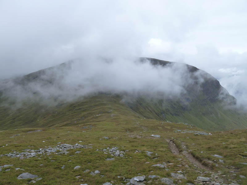
I then ascended Beinn a’ Chleibh where I had lunch.
Afterwards I returned to the col, descended into Fionn Choirein, and returned to the start by the morning’s route.
- Time taken – 5.5 hours.
- Distance – 11.25 kilometres.
- Height climbed – 1335 metres.