The forecast indicated the weather would be better in the west so I decided on a re-ascent of the Munros, Beinn Teallach and Beinn a’ Chaorainn. I parked near the gate in the deer fence on the north side of the A86 Spean Bridge to Kingussie Road, east of the houses at Roughburn, in Glen Spean.
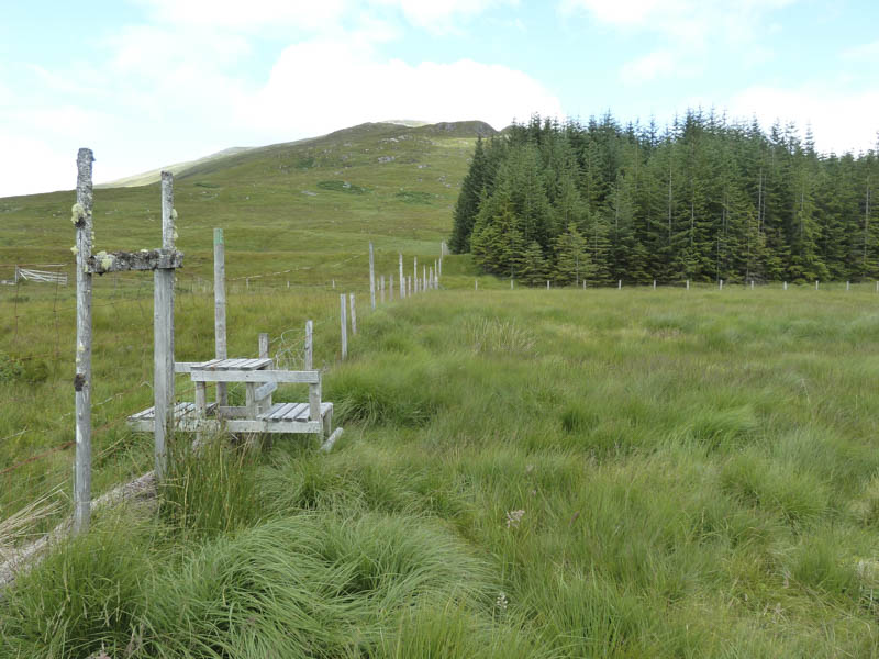
It was raining when I set off through the adjoining kissing gate and onto the vehicle track which wound its way north-west through the forest. After around a kilometre, and at a junction of tracks, I took a left and made a slight descent to emerge from the trees into marshy fields with dilapidated gates and fencing. A track led to the Allt a’ Chaorainn which was easily crossed as erosion and flooding had created four separate streams.
Once on the west bank a wet and boggy path was followed north up the edge of another forest to its top end where a stock fence was crossed. A grassy path, later deteriorating to wet and boggy, took me onto Beinn Teallach’s South Ridge.
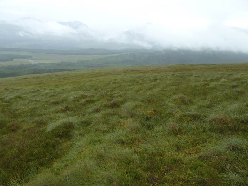
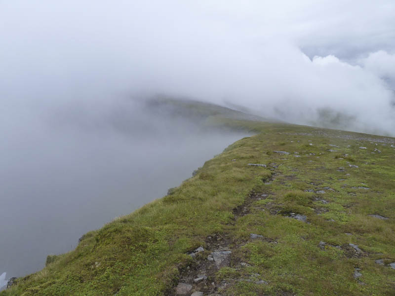
Around the 650 metre mark I entered the cloud base so with no views I plodded on up the path, which occasionally wasn’t obvious. The cairns on the summit of Beinn Teallach were reached, the north-east and smaller one was highest by 0.6 metres.
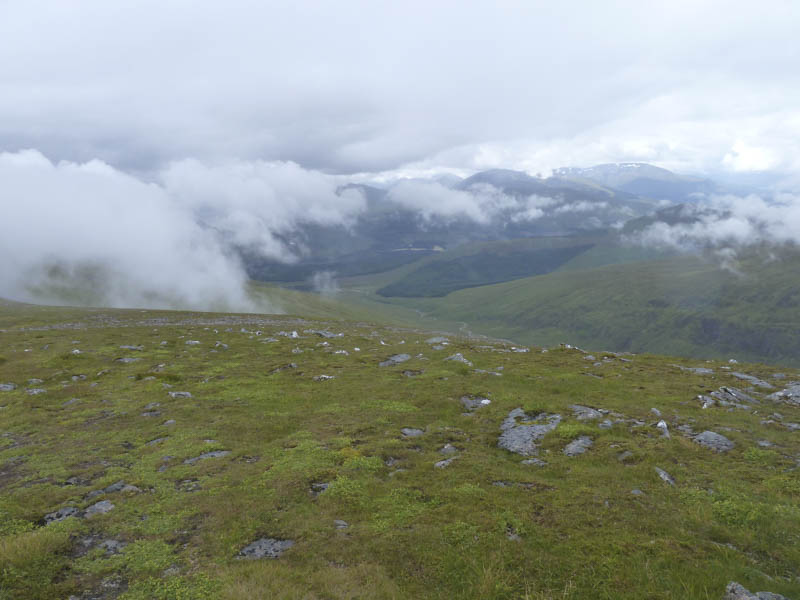
I descended its north-east ridge, which in places was a bit rocky, then lower down as the rain ceased and the cloud began to lift, I made my way to the boggy ground just south of the col with Beinn a’ Chaorainn.
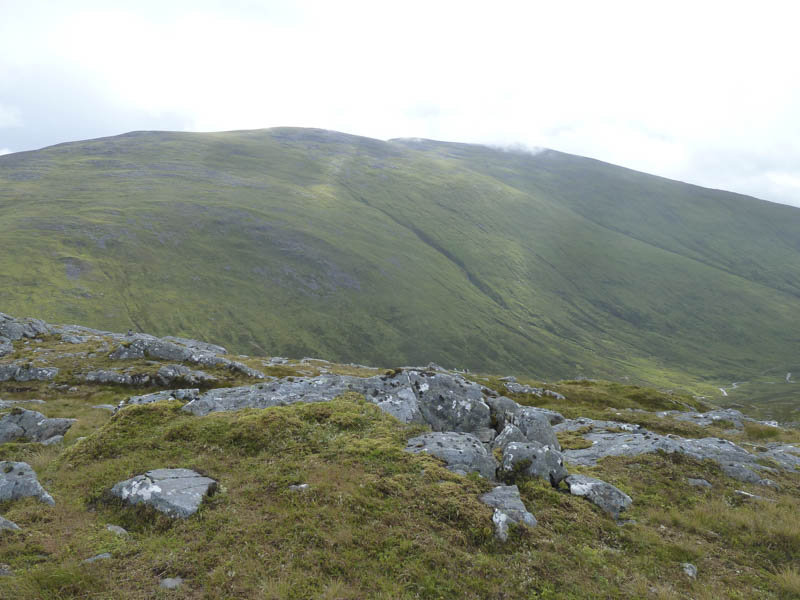
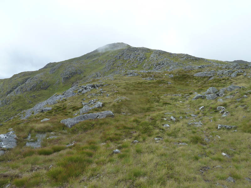
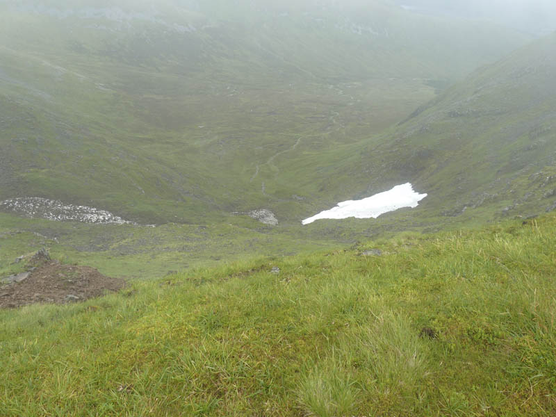
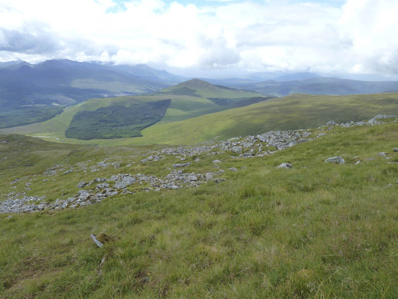
It was then a fairly steep climb onto Beinn a’ Chaorainn’s North Ridge and back into the cloud which unfortunately didn’t clear the tops. I ascended the Munro Top, Beinn a’ Chaorainn North Top before continuing to the Munro, Beinn a’ Chaorainn, with occasional glimpses of snow patches in Coire na h-Uamha.
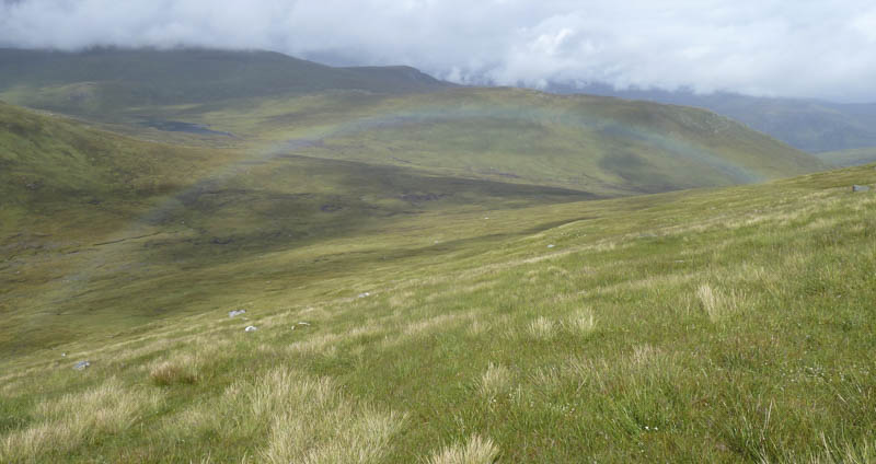
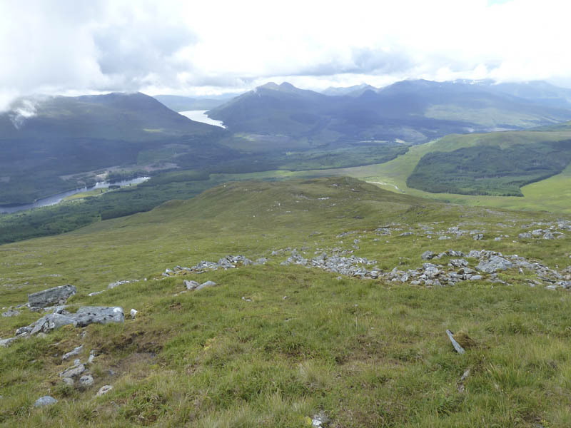
The Munro Top, Beinn a’ Chaorainn South Top, was next before I descended south-west across some boulders and out of the cloud. Occasionally there were traces of a path but it disappeared amongst bog.
Lower down the vegetation was long and wet as I made my way to the west end of the forest to rejoin the track used earlier that day and return to the start.
- Time taken – 6.5 hours.
- Distance – 17 kilometres.
- Height climbed – 1185 metres.