It was an early start to climb the Munros, Beinn Dubhchraig and Ben Oss, which meant initially I had to contend with a bit of mist. However the forecast was for a reasonable day although it didn’t turn out like that.
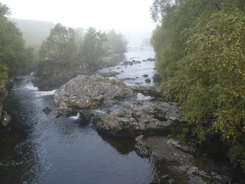
The starting point was the parking area at Dalrigh, just off the A82 Crianlarich to Tyndrum Road. I walked south-east on what was probably an old section of the A82 to the bridge over the River Fillan.
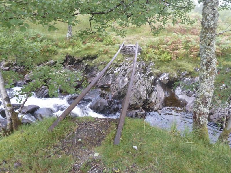
Immediately beyond this bridge I followed the vehicle track which ran west along the side of the railway line before crossing it via a bridge. Rather than take the muddy walker’s path directly to the Allt Gleann Auchreoch, I opted to continue along the vehicle track for another 250 metres before descending to this stream.
I was aware the bridge no longer existed except for two steel beams, too risky for me to use, so headed upstream until I located a suitable point where I forded the burn with dry feet.
I then joined the path that headed through the Coille Coire Chuilc Woods, in fact it’s a serious of paths as walkers wander around trying to avoid the quagmire. The underfoot conditions were pretty awful and worse than I recall from my previous visit.
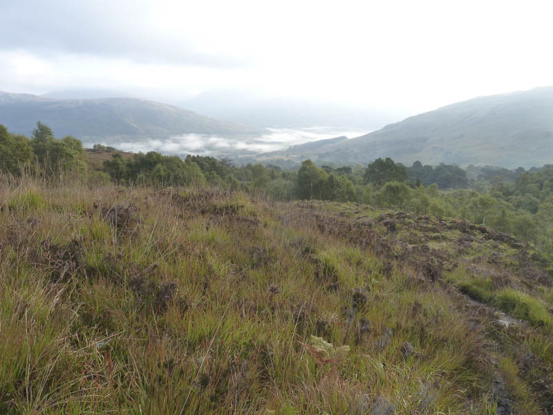
The open hillside was reached where a wet peaty path continued up the north-west bank of the Allt Coire Dubhchraig.
Previously I’ve then crossed the moorland onto Beinn Dubhchraig’s North Ridge but the path continued up the side of the stream and into the coire and the low cloud.
The path steepened as I climbed onto Beinn Dubhchraig North-West Ridge where the gradient eased and an easy stroll led to the summit cairn where I took a break.
The cloud, which I expected to lift, didn’t so I returned down the north-west ridge to the lochans then by an eroded path through the rocks to the col with Ben Oss where the cloud briefly cleared. I continued along the path for Ben Oss and at a small cairn left it and took another path that led onto its north-east ridge where a slight diversion led to Ben Oss’s North Top, a Sub Simm. After a short drop south-west it was a steady climb on an obvious path leading to the summit of Ben Oss marked by a cairn.
With limited visibility there was no point in hanging around so I returned to the col with the North Top meeting a lone walker en-route then headed to the col with Beinn Dubhchraig. I re-ascended this Munro as far as the lochans then to the path beside the Allt Coire Dubhchraig. I descended through the vegetation on the south-east side of this stream which seemed easier than using the wet path on the other side and emerged from the low cloud.
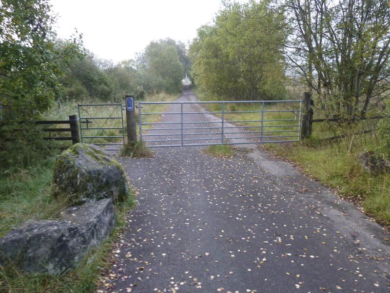
On reaching the edge of the forest I continued down the side of the stream and came across a cairn marking a short section of path that led to a forest track. Rather than return through the boggy ground used on the ascent I opted to follow this track into Gleann Auchreoch where I met a chap on his ascent. This added a fair bit of distance to the descent but the walking was easy although on leaving the forest I was forced to climb over large padlocked metal gates. The vehicle track continued to the bridge over the railway line and I returned to the start via the outward route.
- Time taken – 8 hours.
- Distance – 20.75 kilometres.
- Height climbed – 1300 metres.