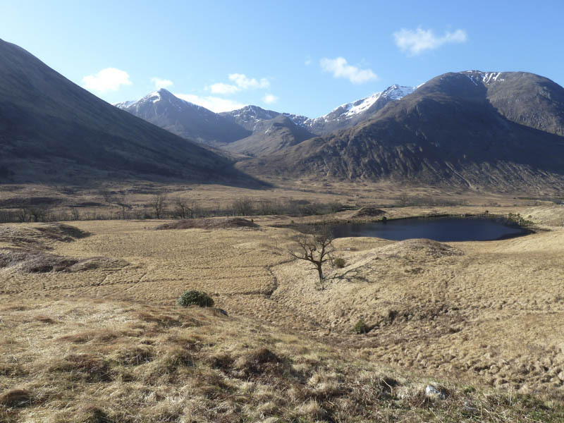
It was a sunny albeit chilly morning as I parked on an area of rough ground on the west side of Glen Etive, north of the access road to Coileitir, after driving down the glen from the A82 east of Glen Coe.
![Glas Bheinn Mhor, Meall nan Tri Tighearnan and Ben Starav](https://scotlandhills.net/wp-content/uploads/2021/02/01-Glas-Bheinn-Mhor-Meall-nan-Tri-Tighearnan-and-Ben-Starav.jpg)
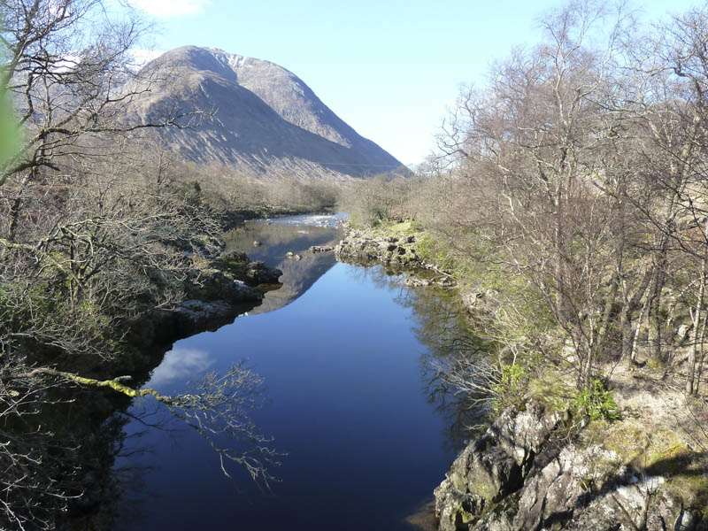
I walked along this access road, crossed the bridge over the River Etive, to the house at Coileitir.
![River Etive and Coire da Choimhid](https://scotlandhills.net/wp-content/uploads/2021/02/02-River-Etive-and-Coire-da-Choimhid.jpg)
Here a locked gate in a deer fence prevented use of the old route passed the front of the house. A signed route, muddy in places, took me round the perimeter of the property.
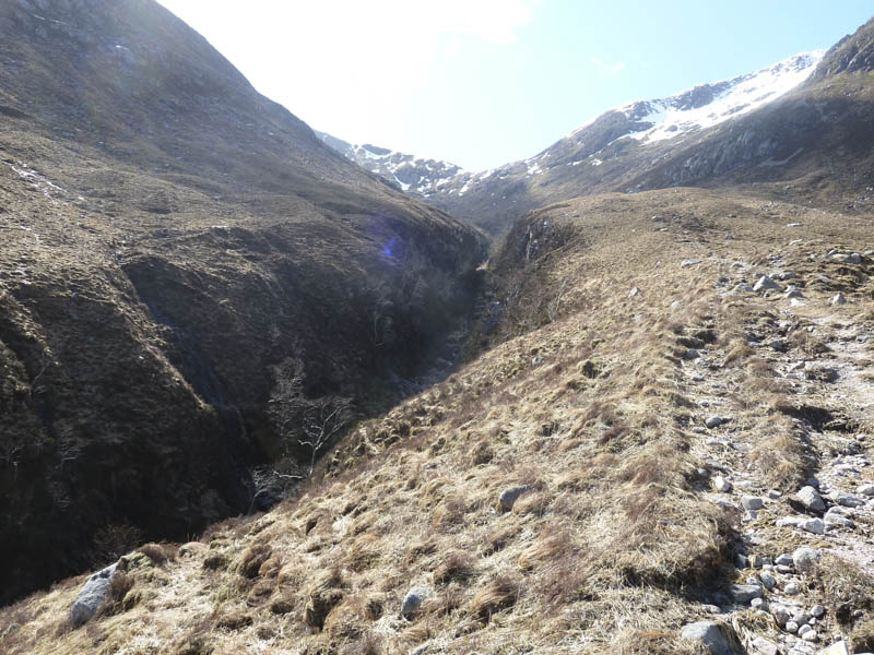
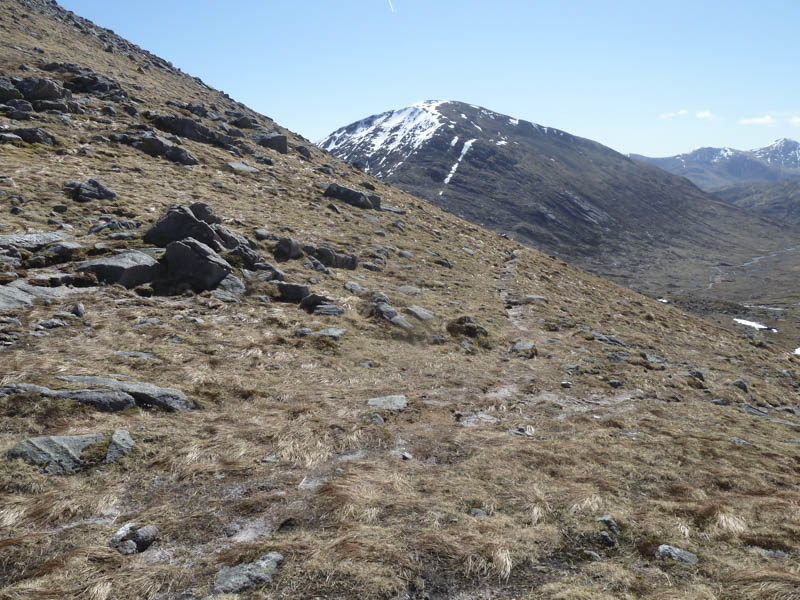
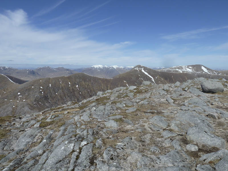
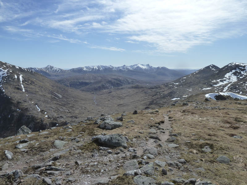
I then walked south along the edge of an old stock fence on muddy paths making a few short diversions to avoid the worst of the bog. On reaching the Allt Mheuran I made the mistake of heading up its east side. Initially there was evidence of a path but it became less obvious as the ground became quite rough with small gullies and slab rock forcing me away from the stream.
At the junction of the Allt Mheuran and Allt nam Meirleach I descended to and crossed the former then continued up the east side of the Allt nam Meirleach before finding a suitable crossing point. The path on its west side became quite rough then higher up steepened with a couple of snow patches to cross.
![Allt nam Meirteach flowing through a gully](https://scotlandhills.net/wp-content/uploads/2021/02/03-Allt-nam-Meirteach-flowing-through-a-gully.jpg)
![View back to Glen Etive](https://scotlandhills.net/wp-content/uploads/2021/02/04-View-back-to-Glen-Etive.jpg)
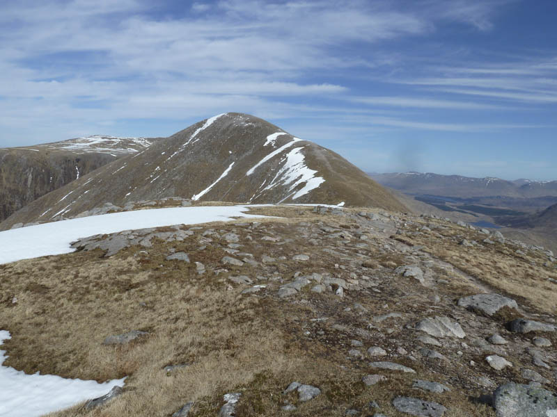
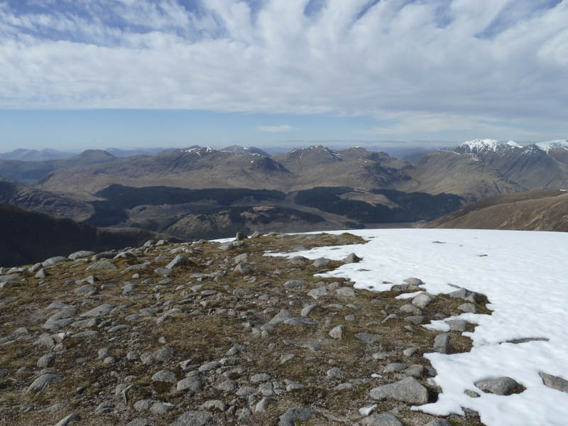
On reaching the col between Ben Starav and Meall nan Tri Tighearnan I descended to the col between Meall nan Tri Tighearnan and Beinn nan Aighenan.
![Route towards Beinn nan Aighenan](https://scotlandhills.net/wp-content/uploads/2021/02/05-Route-towards-Beinn-nan-Aighenan.jpg)
![Route from col below Ben Starav](https://scotlandhills.net/wp-content/uploads/2021/02/06-Route-from-col-below-Ben-Starav.jpg)
![Coire na Caime](https://scotlandhills.net/wp-content/uploads/2021/02/07-Coire-na-Caime.jpg)
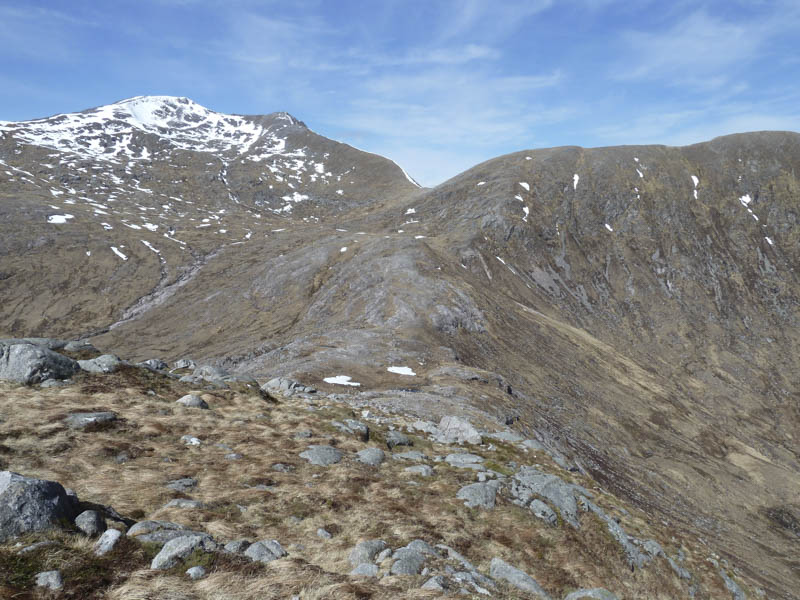
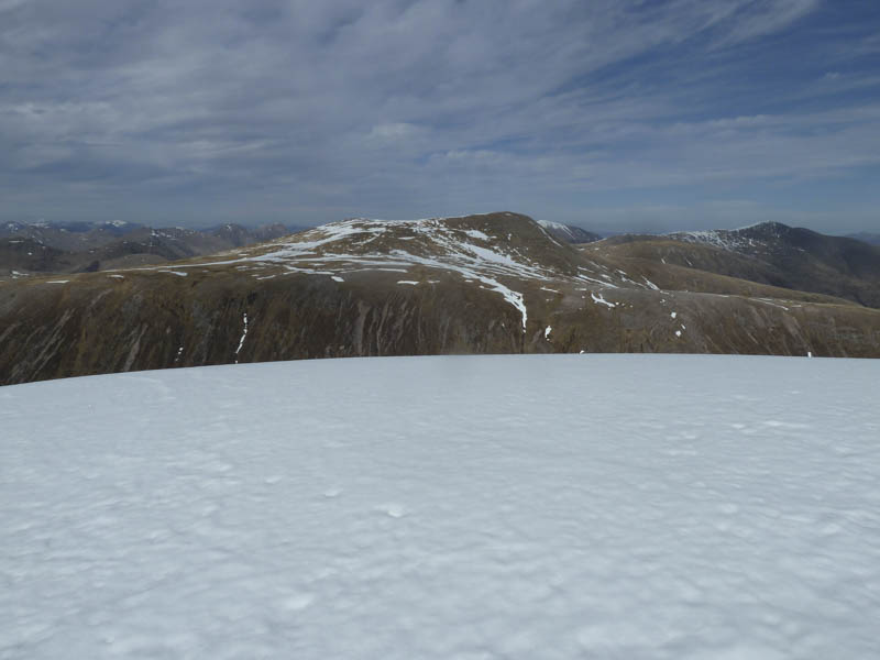
From here I commenced the ascent of the latter mainly on a path with a few rocks to clamber over. More snow patches were then crossed to reach the cairn marking the summit of the Munro, Beinn nan Aighenan.
![Loch Etive](https://scotlandhills.net/wp-content/uploads/2021/02/08-Loch-Etive.jpg)
![Meall nan Tri Tighearnan and Glas Bheinn Mhor](https://scotlandhills.net/wp-content/uploads/2021/02/09-Meall-nan-Tri-Tighearnan-and-Glas-Bheinn-Mhor.jpg)
After a break here I returned to the col below Ben Starav and from there ascended the Corbett Top, Meall nan Tri Tighearnan.
![Route to Glas Bheinn Mhor](https://scotlandhills.net/wp-content/uploads/2021/02/10-Route-to-Glas-Bheinn-Mhor.jpg)
![Beinn nan Aighenan](https://scotlandhills.net/wp-content/uploads/2021/02/11-Beinn-nan-Aighenan.jpg)
![Ben Starav](https://scotlandhills.net/wp-content/uploads/2021/02/12-Ben-Starav.jpg)
![The Cruachan Mountains in the distance](https://scotlandhills.net/wp-content/uploads/2021/02/13-The-Cruachan-Mountains-in-the-distance.jpg)
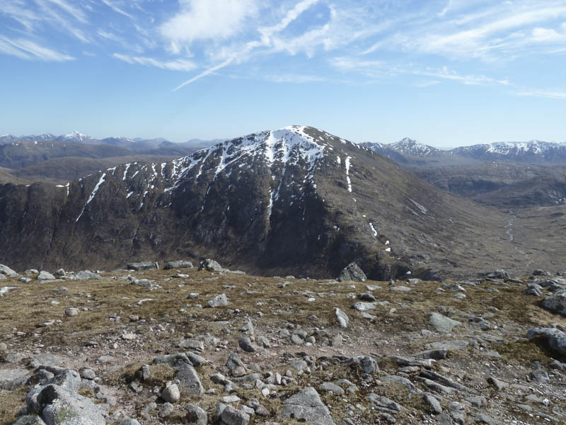
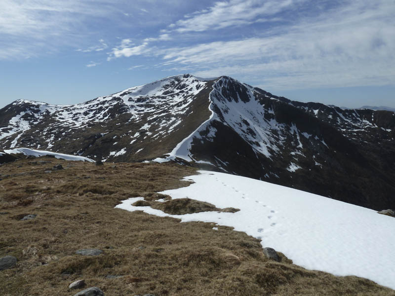
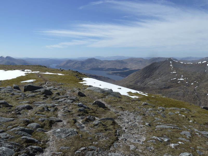
I then continued to the Munro, Glas Bheinn Mhor, again with a couple of small snow patches to cross.
![Stob Coir an Albannaich and Stob Ghabhar](https://scotlandhills.net/wp-content/uploads/2021/02/14-Stob-Coir-an-Albannaich-and-Stob-Ghabhar.jpg)
![Loch Tulla and the Achaladair Mountains beyond](https://scotlandhills.net/wp-content/uploads/2021/02/15-Loch-Tulla-and-the-Achaladair-Mountains-beyond.jpg)
![Ben Lui in the distance](https://scotlandhills.net/wp-content/uploads/2021/02/16-Ben-Lui-in-the-distance.jpg)
![Beinn Fhionnlaidh and Sgor na h-Ulaidh](https://scotlandhills.net/wp-content/uploads/2021/02/17-Beinn-Fhionnlaidh-and-Sgor-na-h-Ulaidh.jpg)
![Across Glen Etive to Bidean nam Bian. Ben Nevis beyond](https://scotlandhills.net/wp-content/uploads/2021/02/18-Across-Glen-Etive-to-Bidean-nam-Bian.-Ben-Nevis-beyond.jpg)
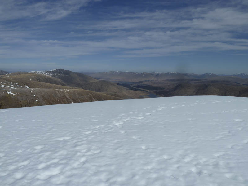
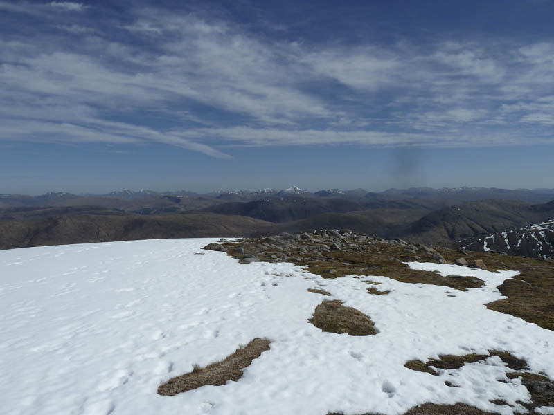
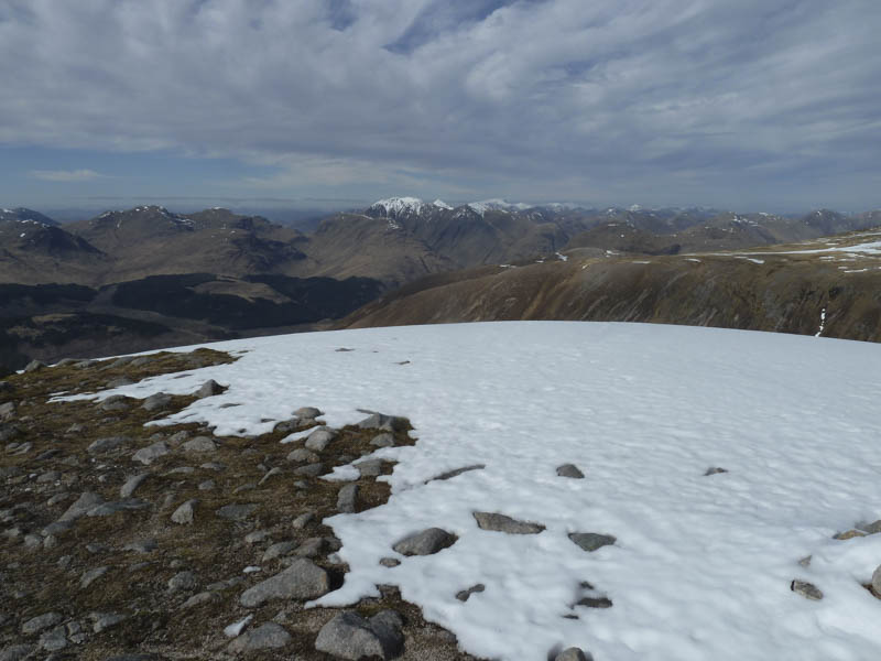
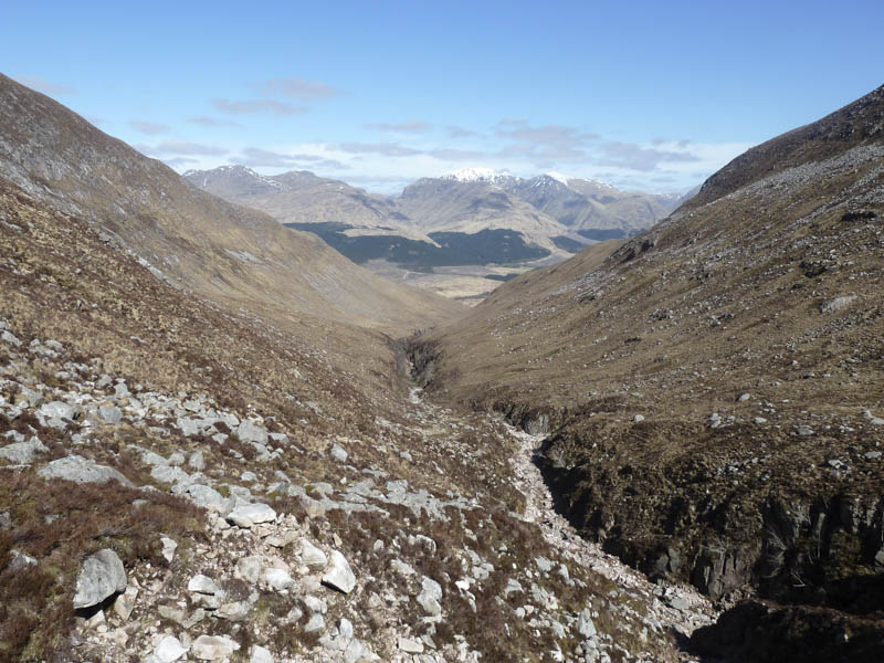
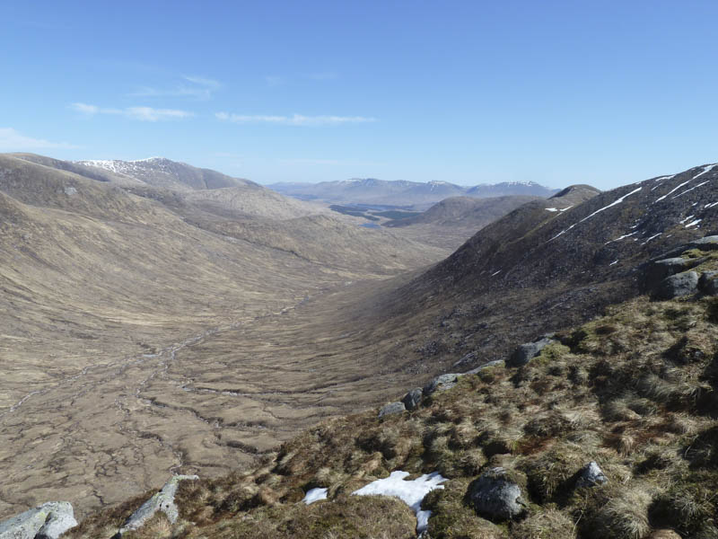
I only spent a few minutes at this summit before returning to the col below Ben Starav. I then followed the path down the west side of the Allt nam Meirleach then the Allt Mheuran to the footbridge south-east of the River Etive. The path continued to then along the east side of the River Etive, becoming quite wet and muddy, before reaching the house at Coileitir. Thereafter I retraced my route back to the start.
- Time taken – 9.25 hours.
- Distance – 19 kilometres.
- Height climbed – 1765 metres.