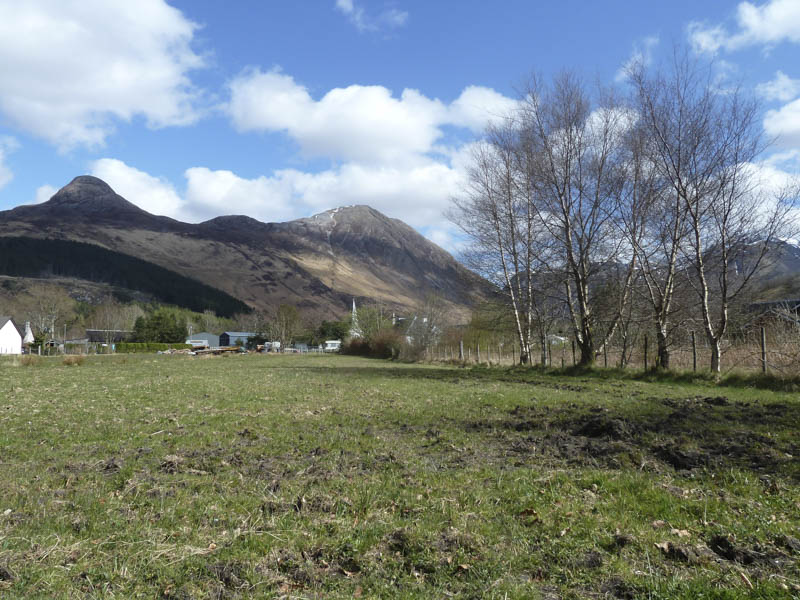
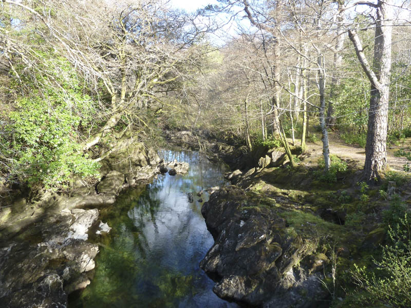
The Munro, Sgorr nam Fiannaidh, was visible from my accommodation in Glencoe Village so I set out from the village, crossed the bridge over the River Coe, and walked south-east along the single track unclassified road towards the Clachaig Inn.
![View fromaccommodation, Pap of Glencoe and Sgorr nam Fiannaidh](https://scotlandhills.net/wp-content/uploads/2021/02/01-View-fromaccommodation-Pap-of-Glencoe-and-Sgorr-nam-Fiannaidh.jpg)
![River Coe](https://scotlandhills.net/wp-content/uploads/2021/02/02-River-Coe.jpg)
There was a poorly painted sign indicating the route for the Pap of Glencoe which I ignored, a mistake.
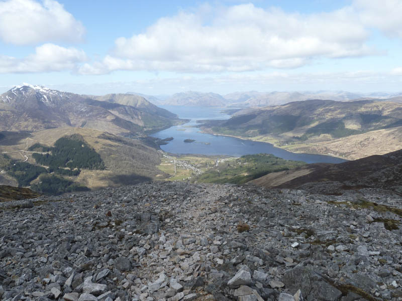
I later realised my error and took the next opportunity to leave the road to gain the Pap of Glencoe path. On passing through an unlocked gate I ascended across rough vegetation, and later a stock fence, to reach the path.
It was rough and eroded and at the split I took the right fork. The condition of the path continued to deteriorate as I climbed through stones and scree, avoiding several snow patches.
![Aonach Dubh a' Ghlinne](https://scotlandhills.net/wp-content/uploads/2021/02/03-Aonach-Dubh-a-Ghlinne.jpg)
![Meall Mor](https://scotlandhills.net/wp-content/uploads/2021/02/04-Meall-Mor.jpg)
![Glencoe Village and Loch Leven](https://scotlandhills.net/wp-content/uploads/2021/02/05-Glencoe-Village-and-Loch-Leven.jpg)
![Sgorr nam Fiannaidh and Pass of Glencoe](https://scotlandhills.net/wp-content/uploads/2021/02/06-Sgorr-nam-Fiannaidh-and-Pass-of-Glencoe.jpg)
![Pass of Glencoe and South Glen Coe Mountains](https://scotlandhills.net/wp-content/uploads/2021/02/07-Pass-of-Glencoe-and-South-Glen-Coe-Mountains.jpg)
![Bidean nam Bian](https://scotlandhills.net/wp-content/uploads/2021/02/08-Bidean-nam-Bian.jpg)
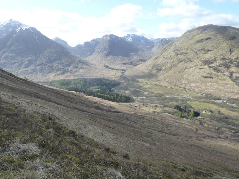
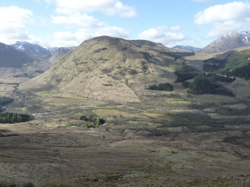
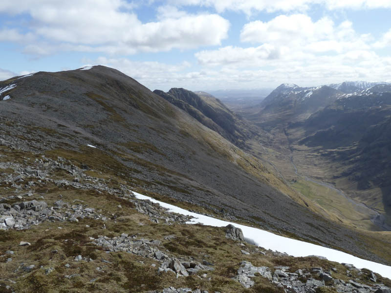
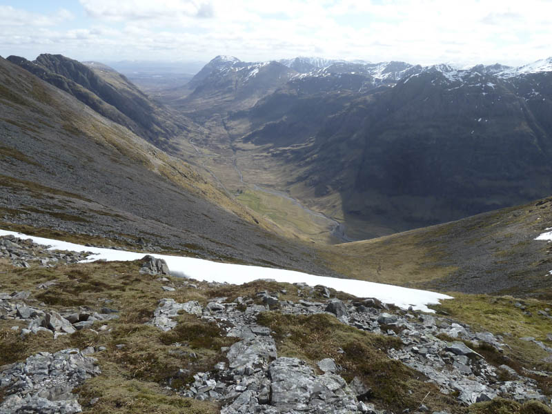
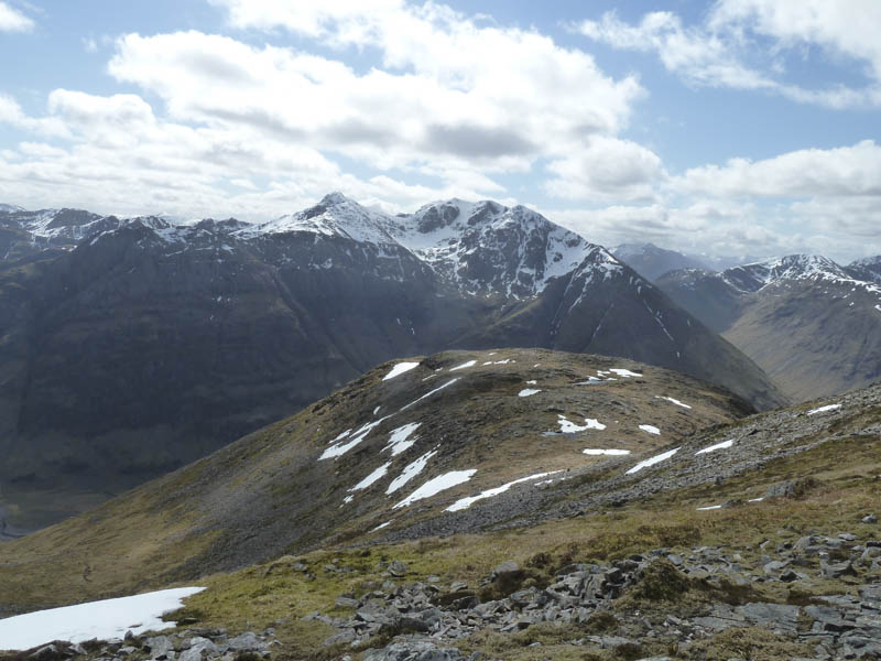
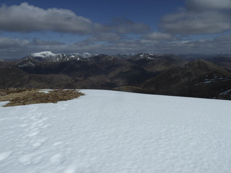
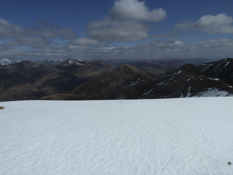
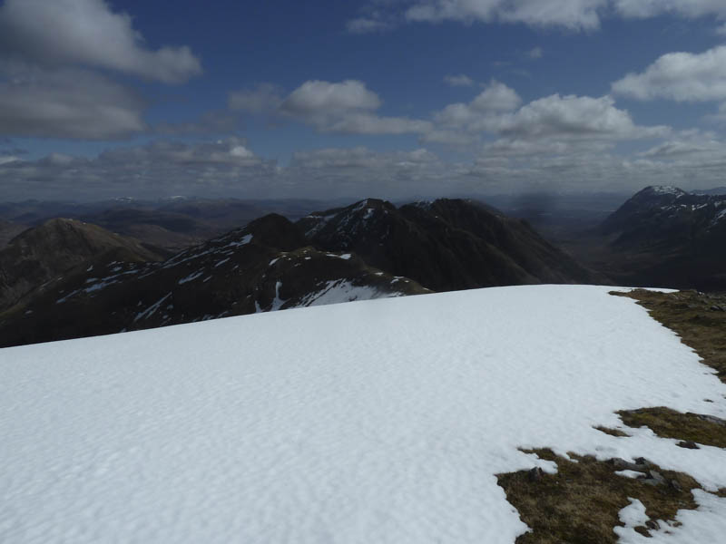
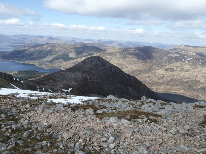
Eventually I crossed a small section of snow to reach Sgorr nam Fiannaidh’s West Ridge. An easy walk over a mixture of vegetation, stone and snow led to the summit of Sgorr nam Fiannaidh, marked by a dilapidated trig point surrounded by a cairn.
![Ben Nevis, Grey Corries and Mamores](https://scotlandhills.net/wp-content/uploads/2021/02/09-Ben-Nevis-Grey-Corries-and-Mamores.jpg)
![Mamores and Garbh Bheinn](https://scotlandhills.net/wp-content/uploads/2021/02/10-Mamores-and-Garbh-Bheinn.jpg)
![Aonach Eagach Ridge](https://scotlandhills.net/wp-content/uploads/2021/02/11-Aonach-Eagach-Ridge.jpg)
![Beinn a' Bheithir and Loch Leven](https://scotlandhills.net/wp-content/uploads/2021/02/12-Beinn-a-Bheithir-and-Loch-Leven.jpg)
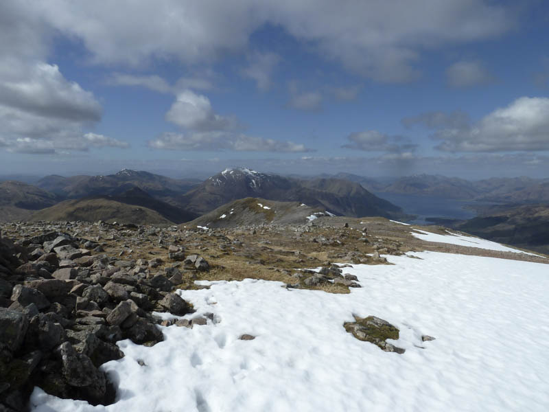
I sat at the summit for an extended break and was later joined by a chap who had completed the Aonach Eagach Ridge setting out from the A82 in Glen Coe an hour after me. I returned to the path and remained on it until I reached the unclassified road south-east of Glencoe Village. It was then a short walk back to my accommodation.
![Pap of Glencoe](https://scotlandhills.net/wp-content/uploads/2021/02/13-Pap-of-Glencoe.jpg)
- Time taken – 6 hours.
- Distance – 12.25 kilometres.
- Height climbed – 1035 metres.