Staying near Fort William meant a reasonably short drive west along the A830 Fort William to Mallaig Road to opposite the junction with the A861 to Corran. Here there was parking for a few vehicles on an old section of roadway at the entrance to Gleann Fionnlighe.
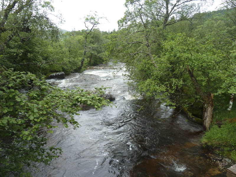
We set off up this glen along a vehicle track, a Right of Way to Strathan, later crossing the Fionn Lighe via a bridge. Thereafter the condition of the track gradually deteriorated with pools of water and a stream to cross.
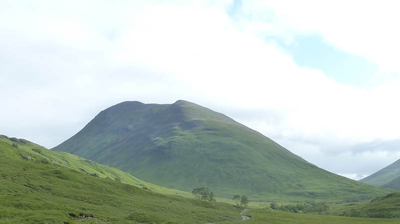
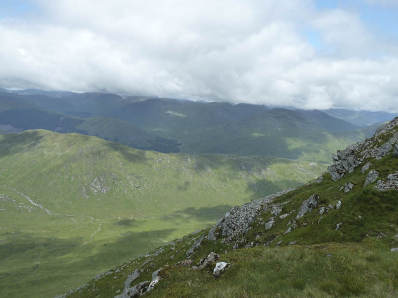
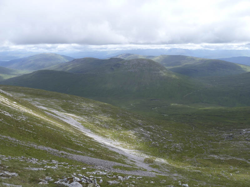
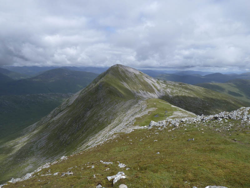
Beyond the Allt a’ Choire Reidh the Right of Way continued north while we headed north-east to commence the ascent of the Munro, Gulvain. Initially the obvious path was wet, boggy and eroded in places but improved as the gradient increased. It was then a stiff climb only relenting after the 855 metre knoll. From there we ascended the Munro Top, Gulvain South Top.
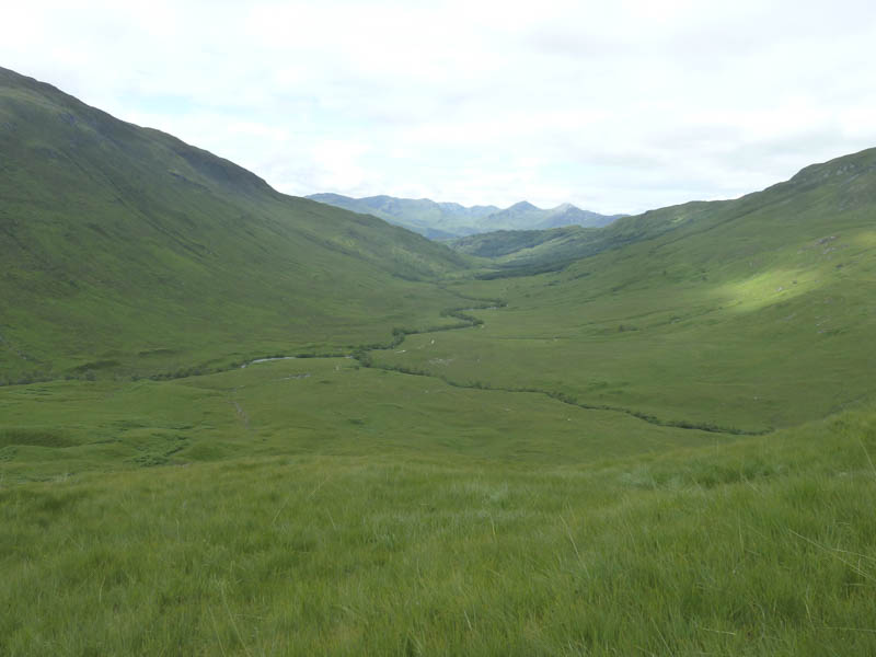
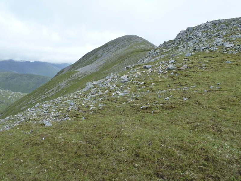
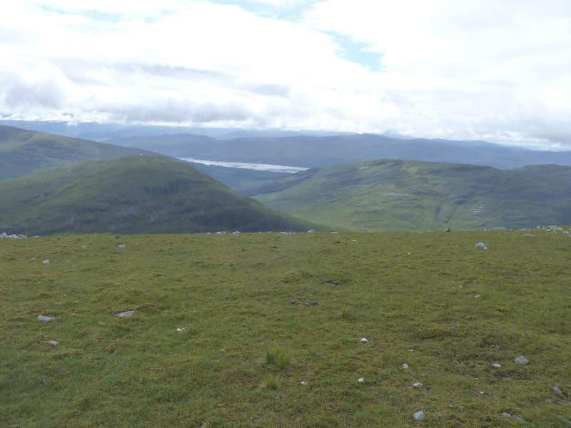
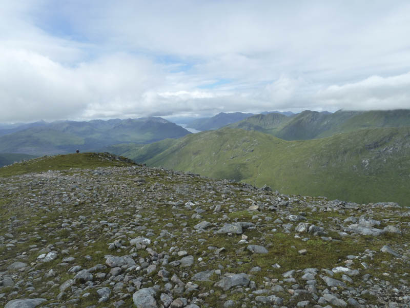
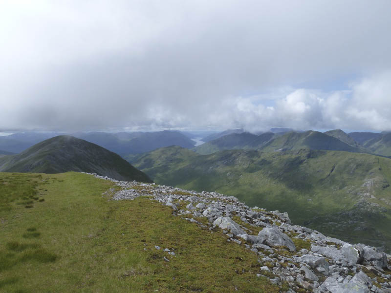
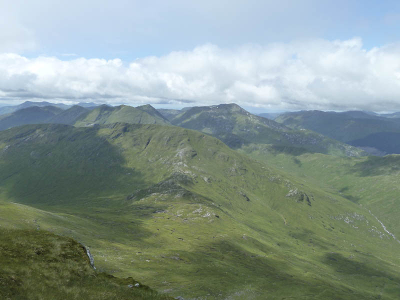
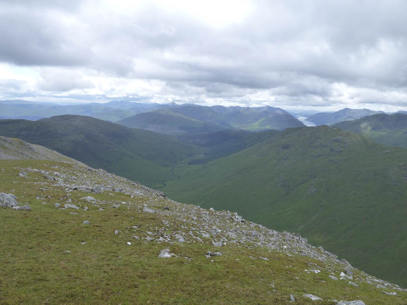
A bit of height was lost as we descended north-east to the col before climbing to the summit of Gulvain, which was in cloud. After sitting around for a while the cloud lifted and we had views of the surrounding mountains including west to Glen Dessarry and Knoydart.
The return was by the upward route.
- Time taken – 8 hours.
- Distance – 20 kilometres.
- Height climbed – 1290 metres.