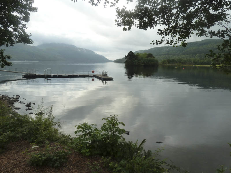
I left my vehicle in the car park at Inveruglas on the east side of the A82 Tarbet to Ardlui Road, on the west shore of Loch Lomond.
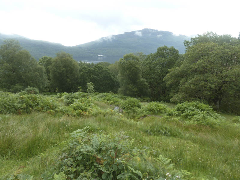
I then walked south along the path on the west side of the A82 for around half a mile to the start of the tarred road leading to Loch Sloy Dam. Once beyond the kissing gate at the side of the main locked gate, secured by several padlocks, I walked up the fairly steep zigzag tarred road, until it straightened out and the gradient eased.
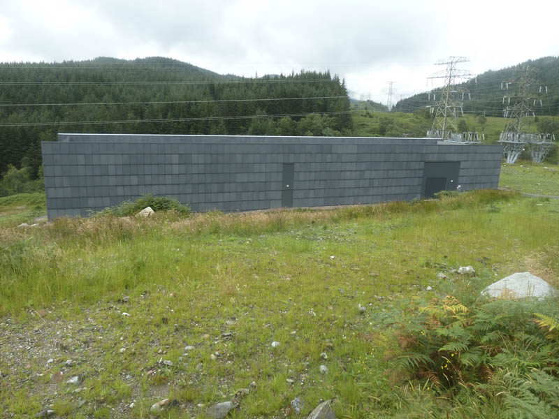
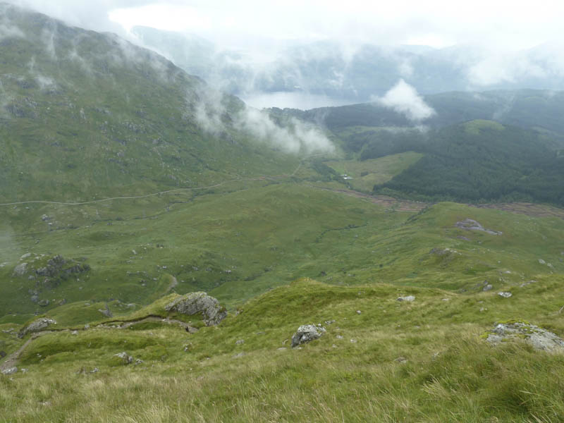
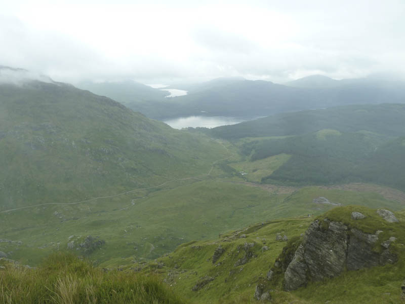
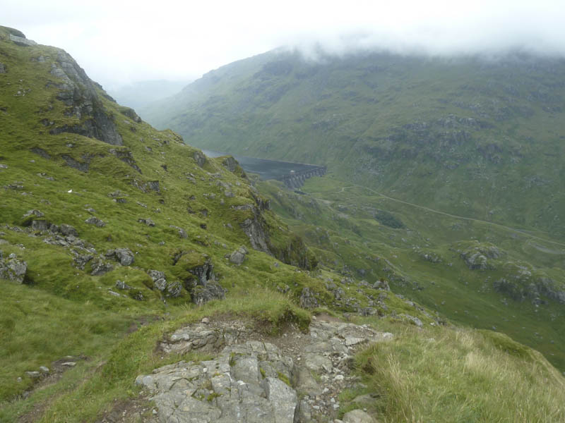
Views were spoilt by the numerous pylons and an electric sub-station where a new large building had been constructed.
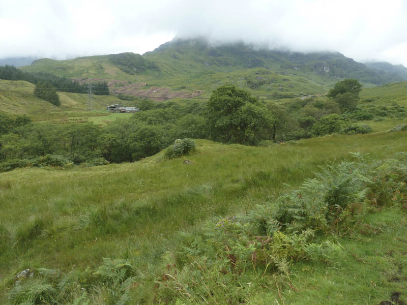
At a road junction I took a left for the Glen Loin circuit route. This vehicle track crossed the bridges over the Inveruglas Water then a small stream. Beyond, an eroded path, wet in places, headed steeply uphill the gradient later easing.
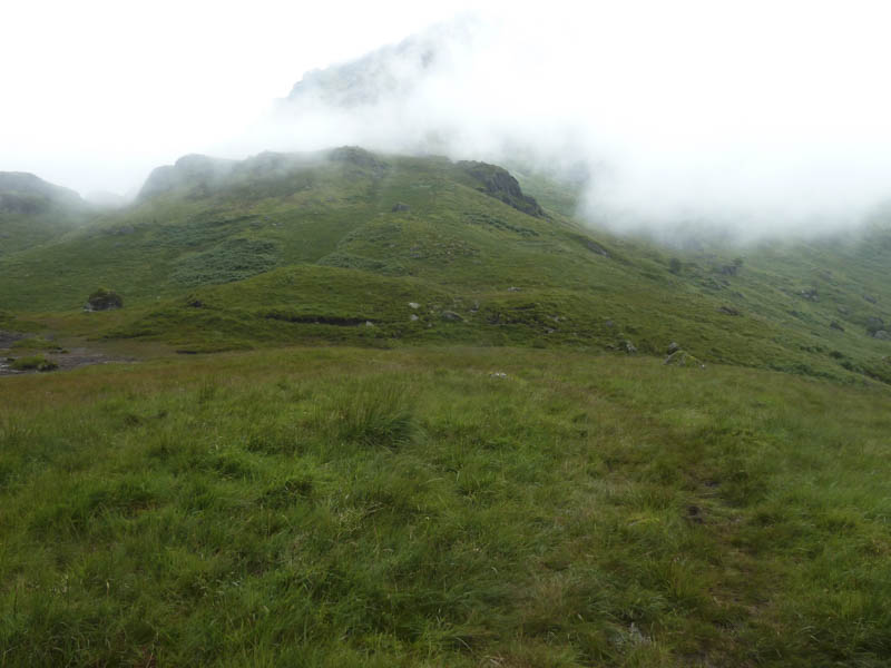
The path was now wet and boggy in places until the incline increased and became quite steep, eroded and unrelenting.
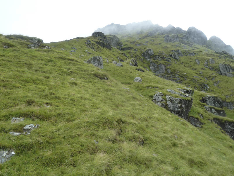
High up on the hillside I entered the cloud base then there was a rocky scramble before crossing some wet rock to reach the summit of Ben Vane with its two cairns. Apparently a rock beside the second cairn was the highest point of this Munro.
The descent was by the upward route. Just below the rocky scramble I met four chaps sitting at a knoll thinking they were at the summit as the cloud prevented them seeing beyond a slight dip in the ridge.
- Time taken – 4.75 hours.
- Distance – 12.5 kilometres.
- Height climbed – 1070 metres.