The start for the ascent of the Munro, Ben Lomond, was Rowardennan, located at the end of the public road on the east shore of Loch Lomond accessed from the B858 at Drymen. Parking or stopping wasn’t permitted on the final six mile stretch of this road and this meant forking out £3 to leave my vehicle in the car park.
It was misty as I set off north along the vehicle track with more ‘Do Not’ signs which in my opinion are inappropriate and off-putting in a National Park. Anyway I passed the Youth Hostel and a couple of houses as I continued north avoiding the start of the path for Ptarmigan’s South Ridge. I had decided to find an alternative route to avoid the crowds, not that there were many folks about early on.
On reaching the Ptarmigan Lodge the vehicle track inclined slightly and crossed a stream. Here an old path was followed north up the side of a burn before coming to an end. The trees were well spaced making it possible to continue the ascent and I soon reached another track through more closely growing fir trees. The track was marked by orange tape and drainage work had taken place making for some muddy sections. Near the top end of the forest several trees had been blown down so I had to work my way through them to reach and cross a stock fence.
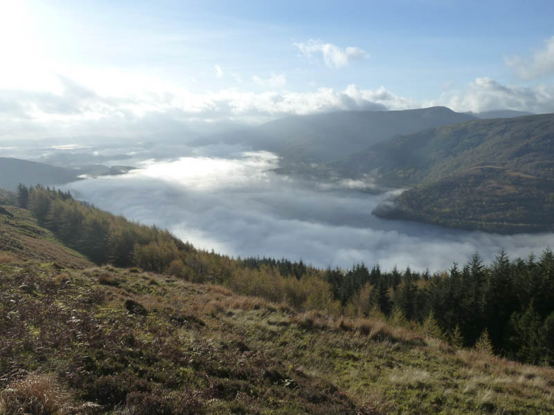
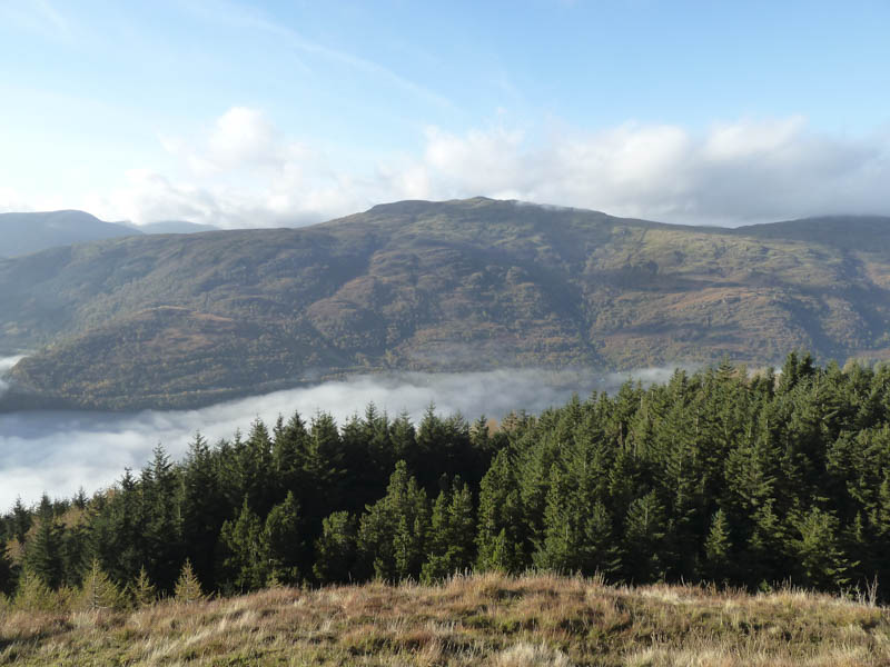
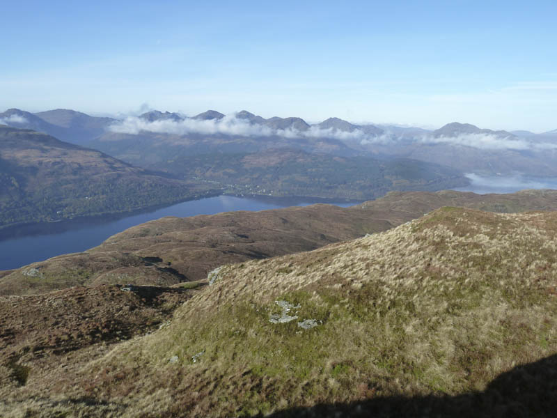
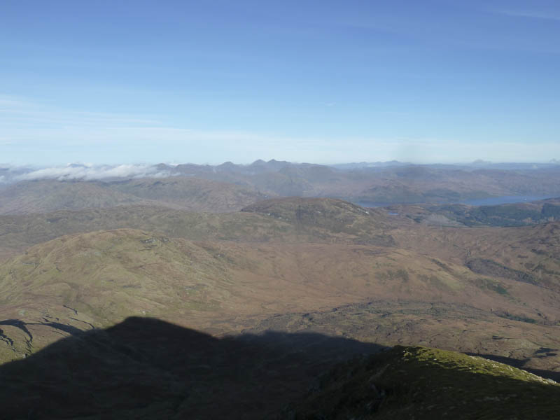
By this time the sun was out although low cloud concealed Loch Lomond. It was a steady climb, avoiding some rocks, to reach the path on Ptarmigan’s South Ridge just below the 731 knoll. I never spotted anyone on the ridge so in hindsight it had been an unnecessary detour.
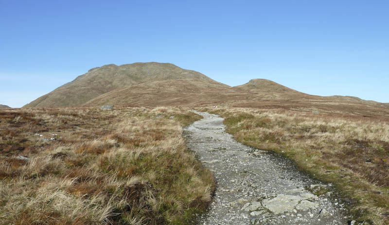
I walked north over this knoll then the path turned north-east onto the summit of the Corbett Top, Ptarmigan.
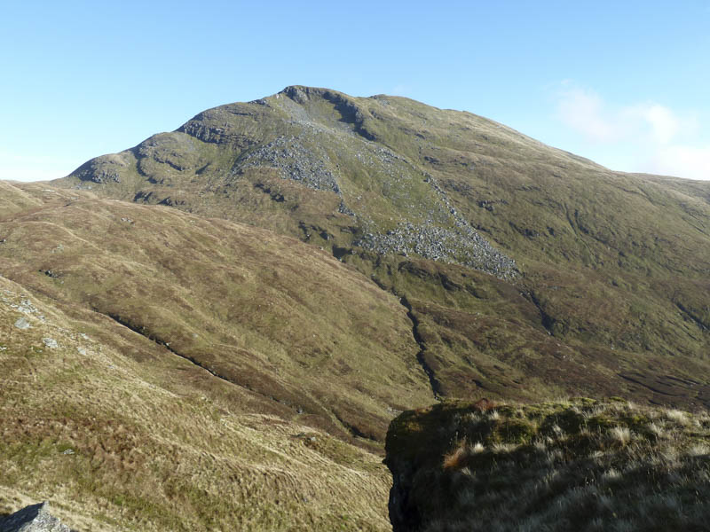
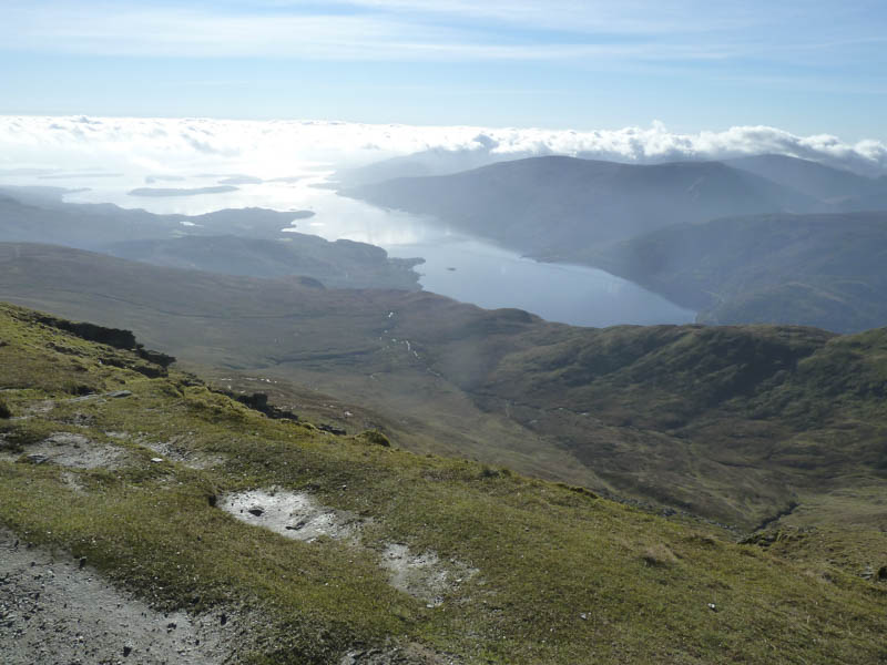
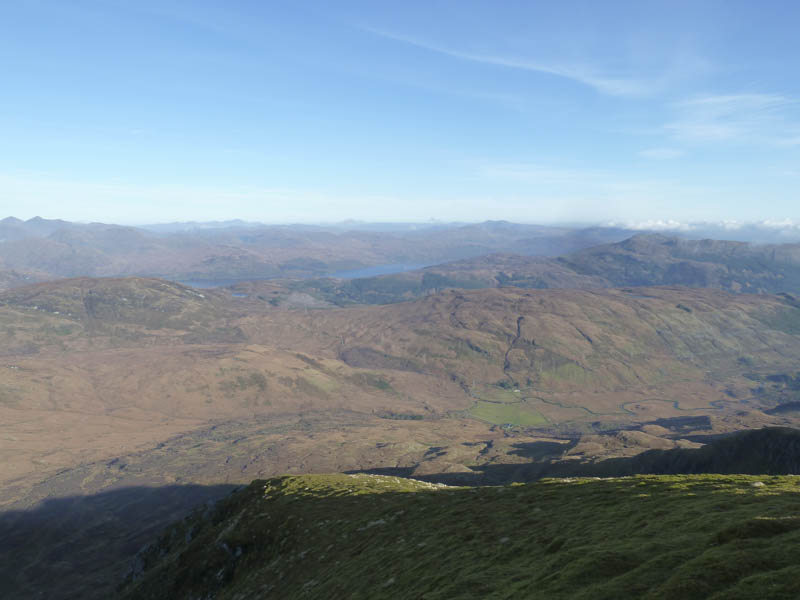
There was now a cold wind blowing which was even stronger as I ascended Ben Lomond. Fortunately the route up the North-West Ridge afforded some shelter from the wind sweeping up out of the corrie.
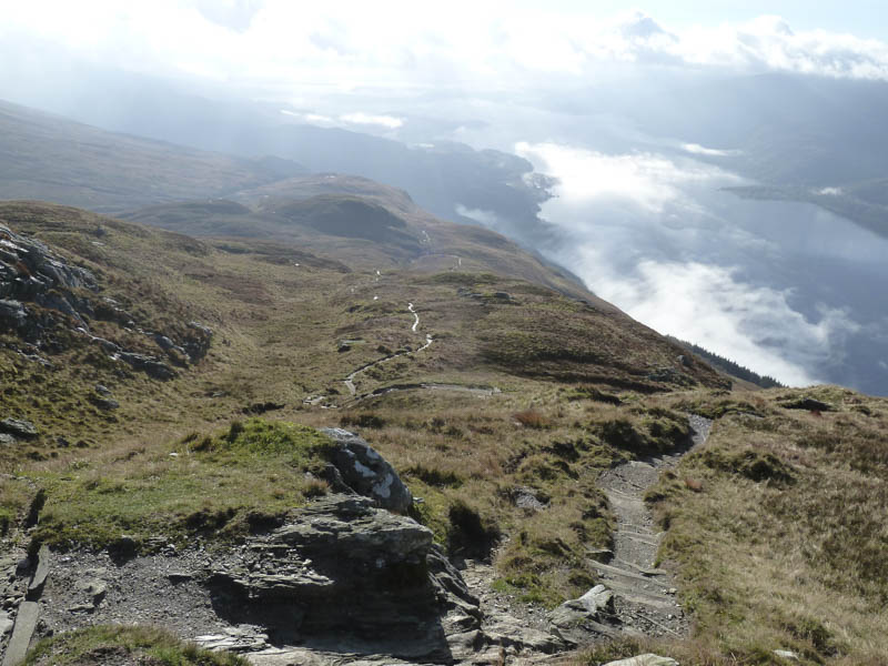
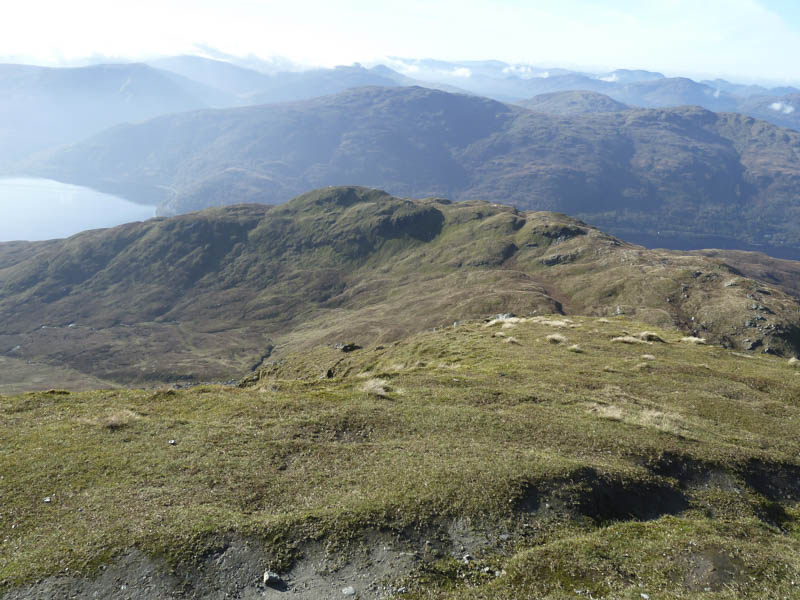
I reached the summit trig point where it was less windy and after taking a few photos commenced the descent south-east soon meeting walkers on their approach to the summit, the first folks I had seen except for a mountain biker on the shore of Loch Lomond.
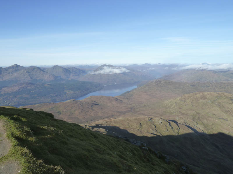
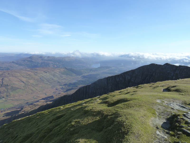
The worn path then descended south where I continued to pass walkers on their ascent. Lower down it became quite pleasant in the sun but the latter section of the path was badly worn and muddy. The car park appeared almost full making lots of money for the National Park.
- Time taken – 4.75 hours.
- Distance – 12.5 kilometres.
- Height climbed – 1040 metres.