I learned that the minor Altnaharra to Hope Road was closed due to bridges being washed away in a storm the previous month. This single track road was the usual starting point to climb the Munro, Ben Hope. It was suggested that approaching from the Alnaharra side would allow access to the parking area at the foot of Ben Hope.
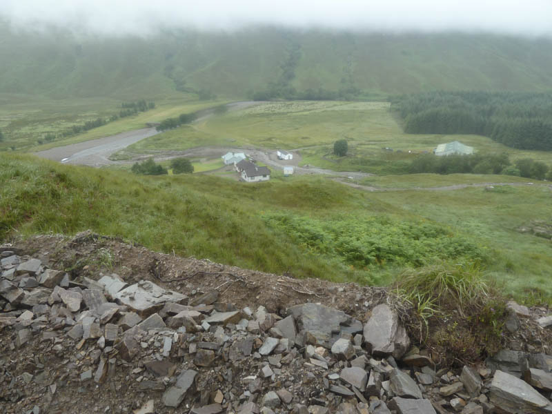
The drive from Altnaharra along the Hope Road ended at Alltnacaillich Farm as the bridge over the Allt na Caillich was missing. The parking area for Ben Hope was a further two miles north so I opted to walk from here. The farmer objected to me parking beside the farm but was helpful with an approach route.
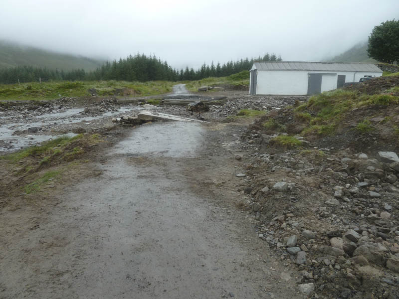
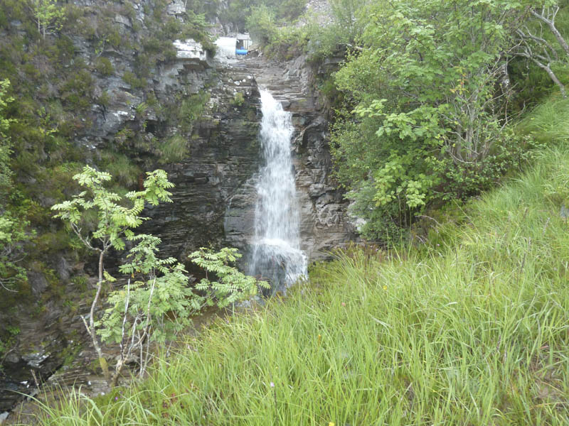
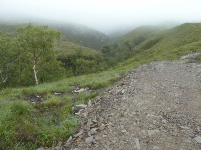
I left my car in an extended passing place north of the Dun Dornaigil Broch and walked back along the road to the farm. I then headed up the side of a boundary fence, through rough vegetation, to reach an upgraded vehicle track on the south side Allt na Caillich. This track led passed a waterfall to a new dam and here I entered the mist with visibility impaired until I returned to this point.
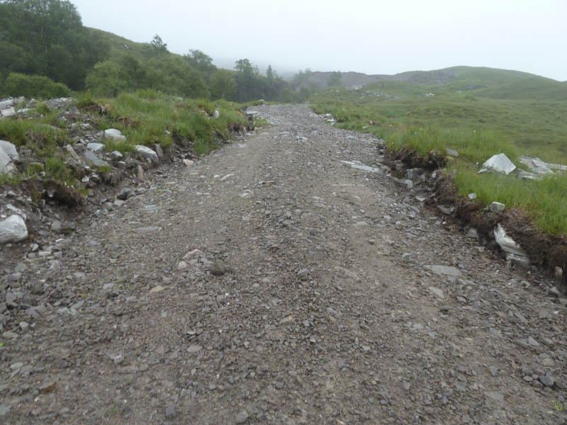
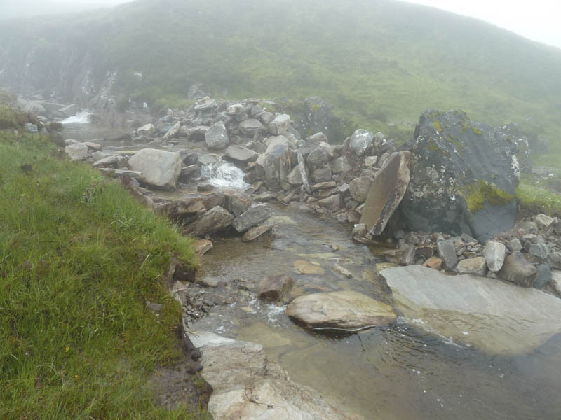
An old vehicle track then a path led to the crossing of the Allt na Caillich and nearby was a memorial plaque to a 17 year old who died on Ben Hope in 1978. There were some massive boulders in and at side of the stream which I presumed had been moved around in July’s storm.
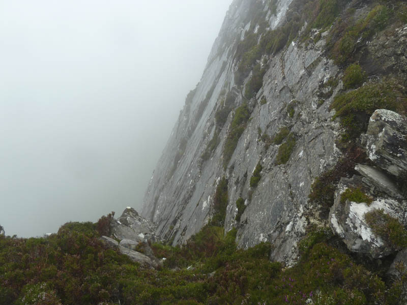
Beyond the stream, as the drizzle set in for the day, I walked north along the path that ran above the Leitir Mhuiseil cliffs which would be an interesting route in fine weather.
Around three kilometres later I joined the boggy path that came up from the car park. After some height gain the bog was replaced by a rocky and eroded path, possibly damaged by the storm, and marked by several small cairns. The gradient eased as I made my way to Ben Hope’s summit cairn and trig point.
Here I found some shelter for a break before returning by the upward route.
- Time taken – 5.25 hours.
- Distance – 12.75 kilometres.
- Height climbed – 955 metres.