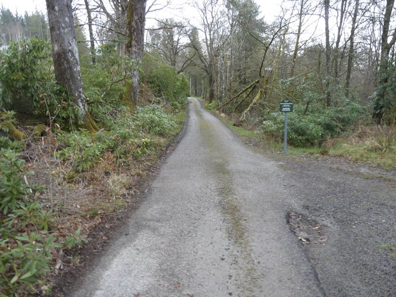
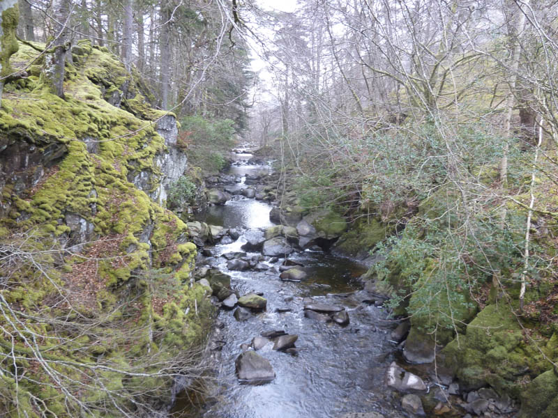
I left my vehicle in the car park at the end of the public road in Glen Creran, reached from the A828 Ballachulish to Connel Road at Creagan. I walked along the private road to Glenure House and followed the signposted route round the north and east sides of the property to the bridge over the River Ure.
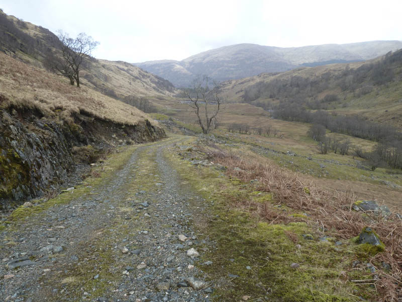
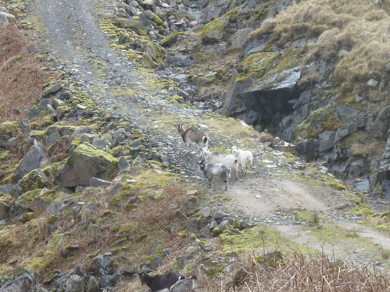
I then headed up the estate track in Glen Ure to the westerly Allt nan Lochan, disturbing feral goats en-route.

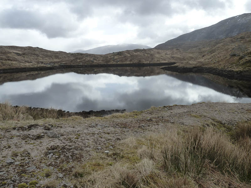
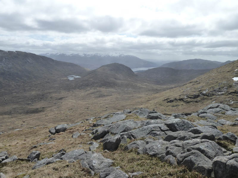
After a short break here I climbed north up the west side of a stream onto An Grianan’s North-East Ridge then to the cairn marking the summit of this Marilyn.

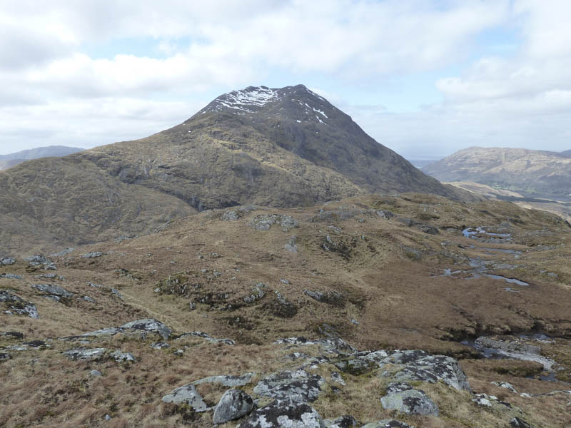
I returned to the lochan and walked back down Glen Ure for a short distance before commencing the ascent of Beinn Sgulaird. This was a bit tougher than expected with several diversions for slab rock, boulders and gullies. Eventually I gained the east ridge of Stob Gaibhre, a Graham Top, and climbed to its summit which was probably a large boulder.
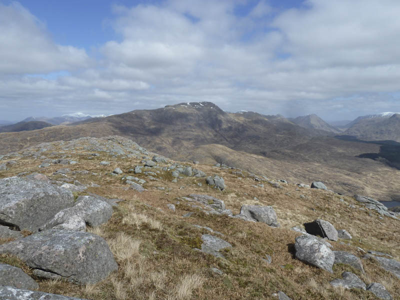
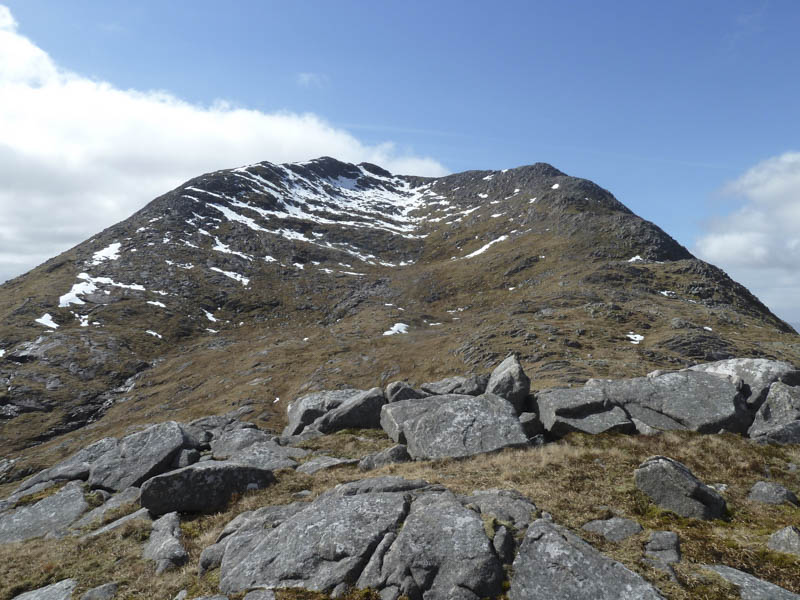
A steep descent led to the crossing of Coire nan Tulach and involved short diversions to avoid large boulders to gain the east ridge of Beinn Sgulaird. Once below its North Top, a Corbett Top, I climbed over some boulders to reach its summit cairn before returning to the East Ridge. I then made the final climb, across a snow field, to reach the cairn marking the summit of the Munro, Beinn Sgulaird.
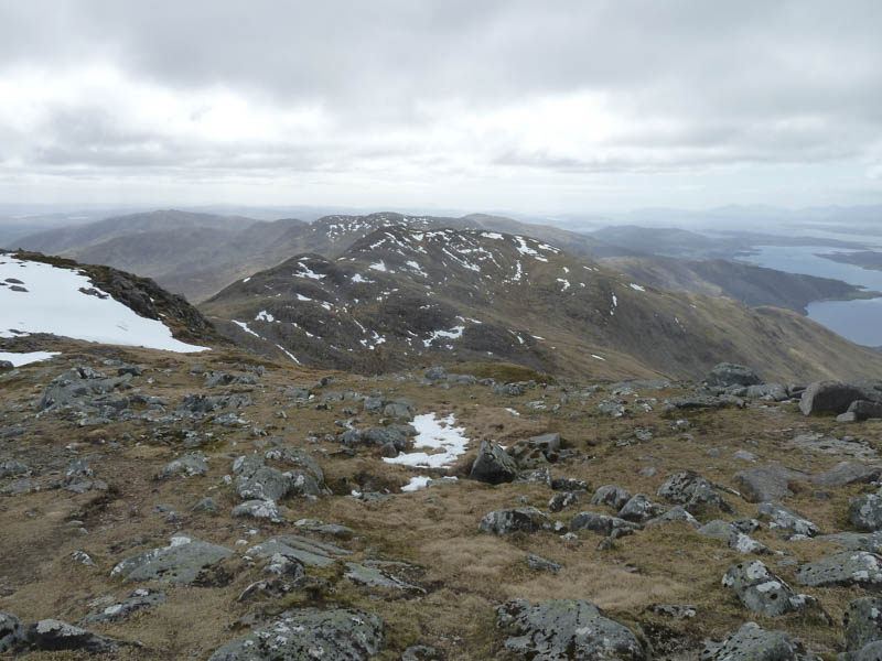
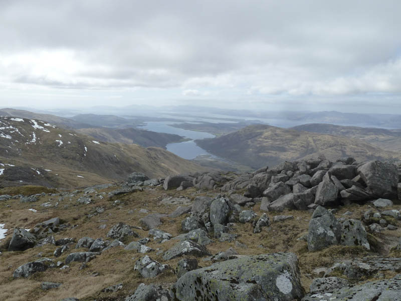
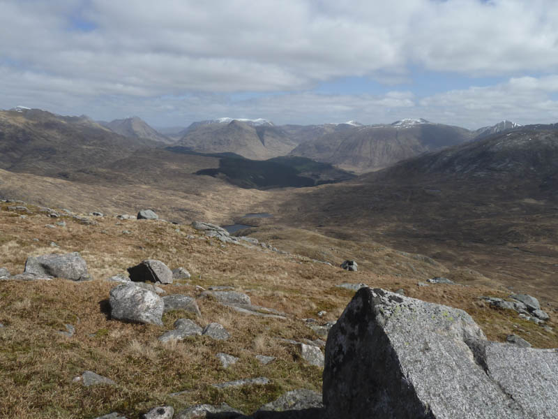
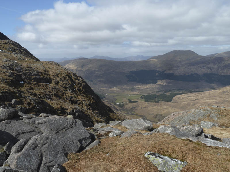
I took another break here with views of Loch Creran and out to the Island of Lismore. Afterwards I returned to the col with the North Top and from there descended north-west which was initially easy going. As I lost height the ground steepened with lots of crags and lower down a stock fence then a deer fence which I had to cross twice to reach the track in Glen Ure. I then retraced the outward route back to the car park.
- Time taken – 8.5 hours.
- Distance – 17 kilometres.
- Height climbed – 1470 metres.