The Graham Top, Mullachdubh, was located well south of Strathdon and would have involved a long approach route. A shorter route from Balachailach to the north-east accessed along a minor road from the A97 appeared more suitable. I left my car at the edge of the road leading to the forest just west of Balachailach then walked west to and through the trees some of which had been harvested and replaced with new ones.
Within the forest I came to a ‘T’ junction where I took a right turn then a short distance further on followed a vehicle track that headed south initially through an area where the trees had been cleared, then it was onto the open hillside.
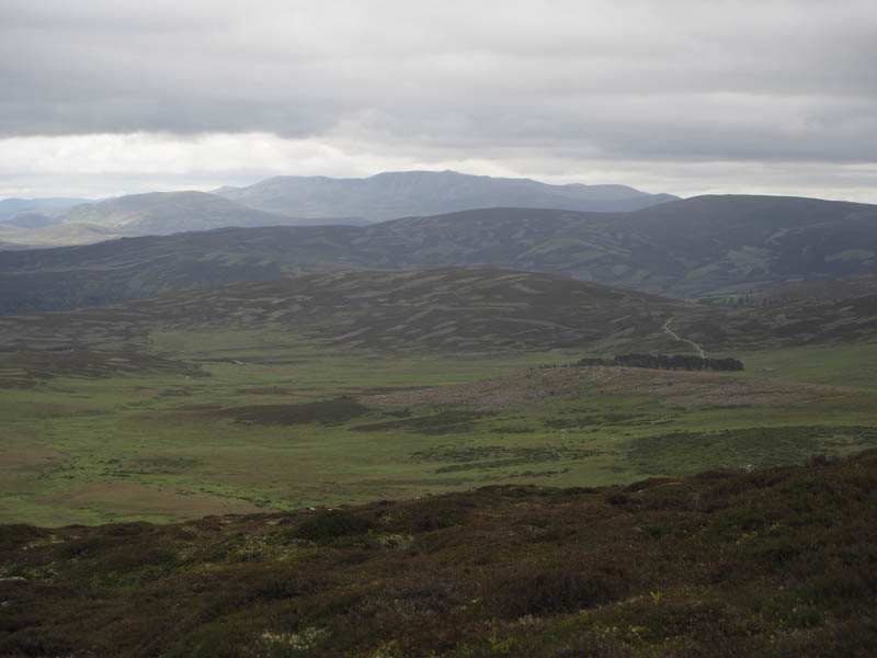
The track improved a bit higher up and eventually I came to a locked gate in the deer fence. Once over it the track continued through the mainly heathery vegetation coming to an end amongst some peat hags.
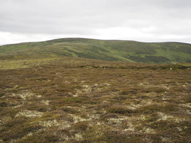
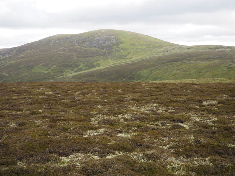
The next 500 metres was rather awkward as I walked through peat hags, bog and rather soft vegetation to reach the cairn marking the summit of Mullachdubh.
The return was by the approach route.
- Time taken – 3.25 hours.
- Distance – 11.5 kilometres.
- Height climbed – 365 metres.