Cnoc a’ Mhuilinn-Thaibh – On leaving the A835 Maryburgh to Contin Road at Tollie I drove along the minor road that circled Loch Ussie. At the end of this road I found a suitable point to leave my car then set off west along a path through Moy Wood. The path, muddy in places, soon joined an upgraded forest track where some of the trees had been cleared or thinned.
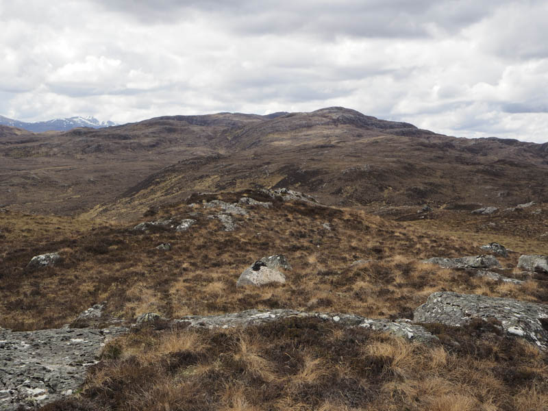
I followed this track to a new quarry and walked steeply up its west side then along various tracks created by harvesting machinery, and across some brash, to reach the summit of this Tump, which appeared to be a vegetated area beside a tree. I then returned by the approach route.
Carn Sgolbaidh – After visiting Cnoc a’ Mhuilinn-Thaibh I headed for Strathconon, accessed from the A832 at Marybank. The plan was to start the ascent from the houses at the hamlet of Scatwell but there didn’t appear to be anywhere suitable to leave my car. I therefore drove further west parking beside a new entrance track.
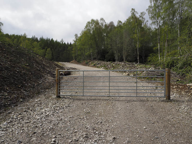
I then walked up this track to a second gate and stile where beyond quarrying was taking place but not at the time of this visit.
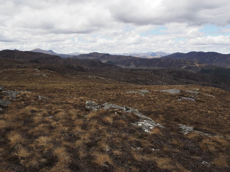
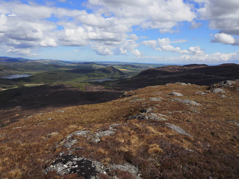
The track shown on my map didn’t appear to exist so I initially followed various forest tracks created by harvesting vehicles then walked through well spaced trees. I came across a new deer fence and once over it headed along an old vehicle track to below Carn Sgolbaidh. It was a fairly steady climb through the heather using wet and muddy deer tracks where possible. This took me onto the west ridge a short distance from the summit where I visited a few possibilities for the highest point of this Tump.
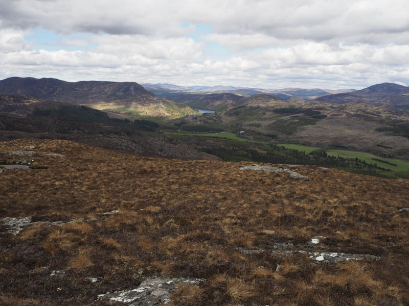
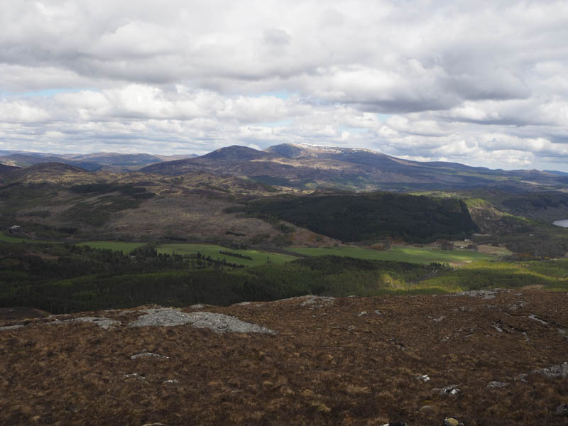
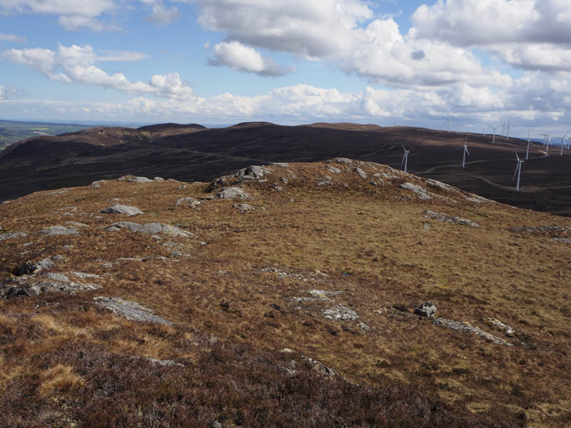
After a break at the top I descended north-east through heather, avoiding the crags, to join the mapped vehicle track which led to the houses at Scatwell followed by a road walk to my car.
- Total time taken – 4.25 hours.
- Total distance – 9 kilometres.
- Total height climbed 495 metres.