Hart Hill – I parked up in the lay-by on the west side of the A941 Rothes to Elgin Road, south of Fogwatt, and walked briefly south on the grass verge and onto a vehicle track. This track took me passed a few houses to immediately beyond the one on my left (south). At this point I walked along the access road to this property and just before reaching it crossed a stock gate and walked west along an old track to a tree covered mound.
Here I went left, south, on grass to a wooden gate which was slightly ajar. Beyond was an old forest track covered with some brash as a result of harvesting a section of the forest.
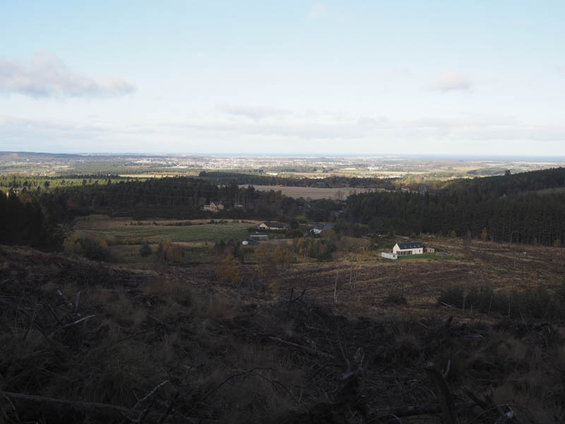
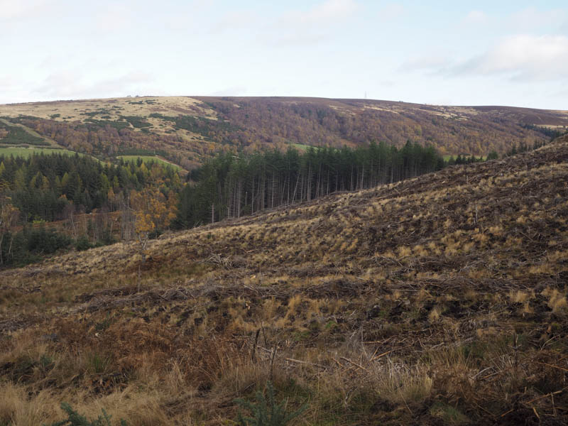
Higher up the track was churned up and at this point I left it, worked my way round several fallen trees, and onto a fire break. Initially there was some brash and a couple more fallen trees but beyond it was covered in pine cones. Near the summit of Hart Hill I entered an open area covered in heather but the highpoints of this Tump, apparently there were two, were somewhere within the mature trees. I did wander about amongst these firs but the highpoints weren’t obvious.
The return was by the upward route.
Grange Hill – This Tump was located east of Kinloss in Moray and was approached from the minor road to the west. I left my car on the grass verge north of East Grange and walked up a grassy track and into a field of stubble and rather stunted turnips. I walked across the field avoiding the neeps, and to the summit of Grange Hill although the exact highpoint wasn’t obvious.
I then retraced my route back to the car.
- Total time taken – 1.5 hours.
- Total distance – 4.25 kilometres.
- Total height climbed – 175 metres.