Bourblach Hill: Located north-west of the village of Morar this Tump was accessed from the west side of the A830 Morar to Mallaig Road parking in a lay-by directly opposite the entrance to a private road. This road led to a communications tower and just prior to this structure a path through the vegetation led to the summit cairn. The knoll to the south was also visited before returning to the start by the upward route.
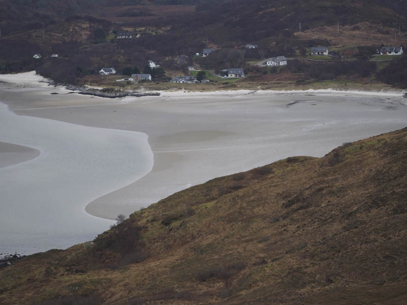
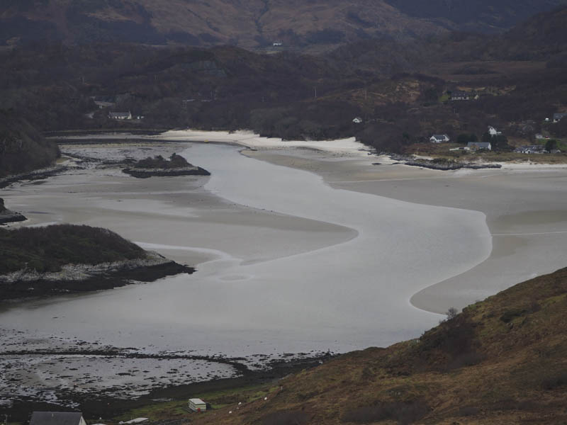
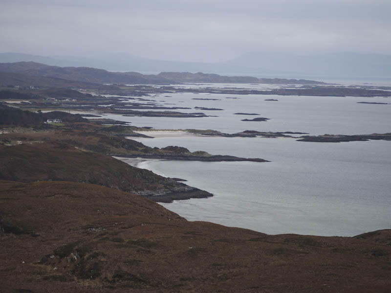
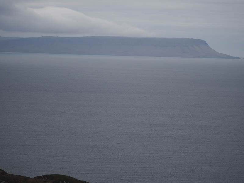

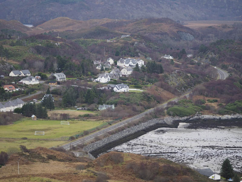
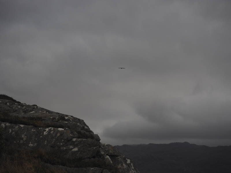
Morar Hill: This Tump was located to the east of the village. I parked beside the level crossing on the road through Morar and climbed the steps leading to the Holy Cross. From there a slight descent on a muddy path was followed by an easy ascent of Morar Hill spotting gulls harassing an eagle. The return was by the upward route.
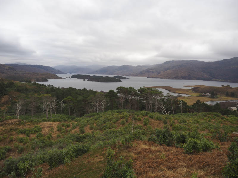
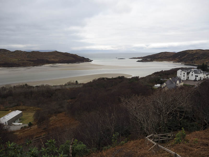
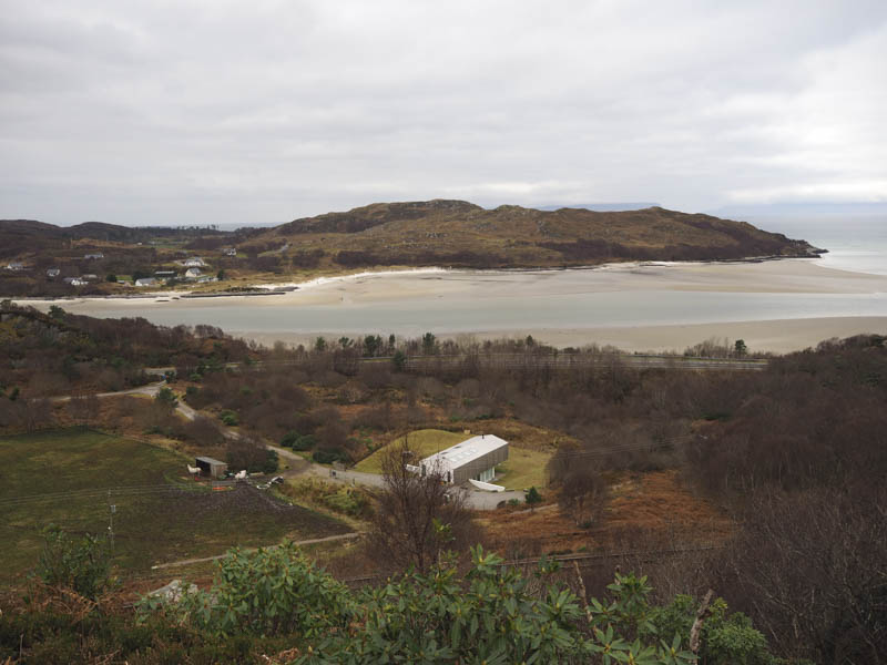
Torr na Cuinnerge: Parked at the edge of the unclassified road on the north shore of Loch Morar and walked east along this road over the Allt an Loin. Here I left the road, crossed a flat and slightly damp area of ground, to gain the west side of the hill. It was then an awkward climb through rhododendrons to reach the highest point of the Tump, Torr na Cuinnerge, located amongst well spaced trees. The descent east was fairly easy then I returned to the start.
Torr na Ba: Further east still on the north shore of Loch Morar I parked at the edge of a passing place, crossed a fence and an area of flat vegetation then climbed to the summit of the Tump, Torr na Ba. The return was by the upward route.
Arisaig Hill West Top: Parked in a lay-by on the A830 Arisaig to Mallaig Road, south-east of this Tump, crossed the road and a barbed wire fence and walked north-west across rough vegetation to reach a stone dyke topped by a fence. Once over this obstacle I climbed to the summit of Arisaig Hill West Top. The return was more to the east through a gate and a tunnel under the A830 to access the road and a short walk back to my car.
- Total time – 2.5 hours.
- Total distance – 5.75 kilometres.
- Total height climbed – 305 metres.