Carn Mor – We were staying at Shielfoot in Moidart and with the forecast for poor weather we decided to stick to the lower hills and made the short drive to Ardtoe, reached along the B8044 from the A861 Lochailort to Salen Road north of Acharacle. We left my vehicle in the car park where there was a charge of 50 pence paid through a letter box.
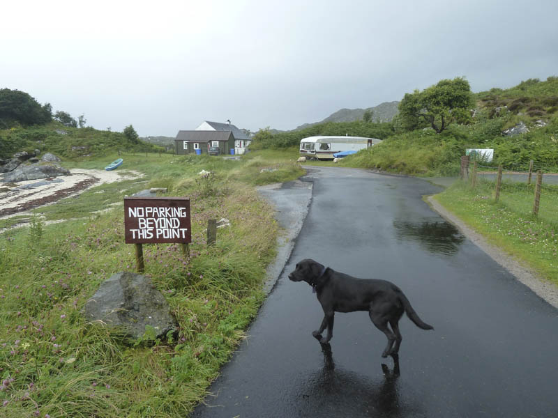
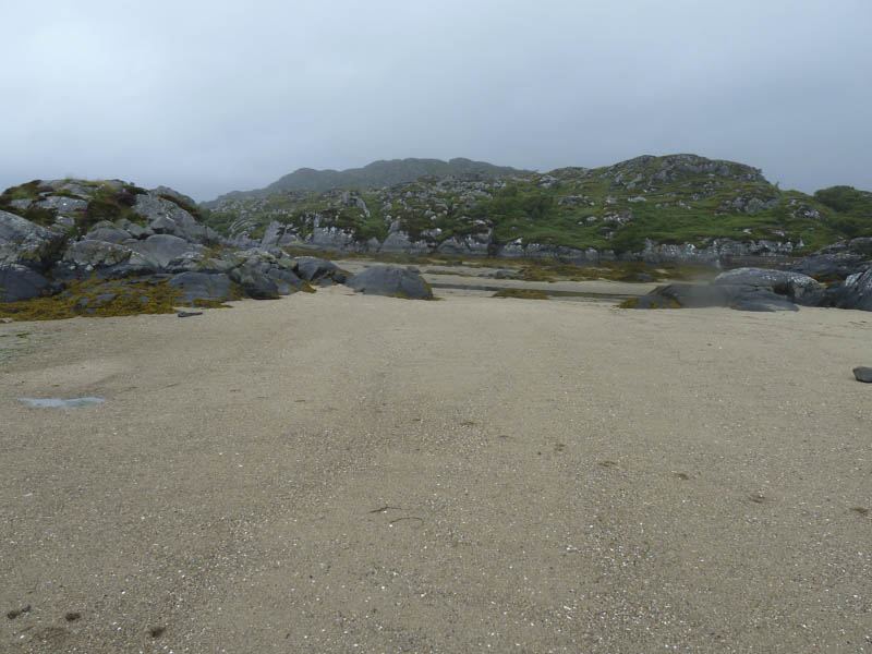
We walked to the road end, crossed the beach and a stream and commenced the ascent of the Carn Mor. This involved climbing through rough and wet vegetation, rocks and marshy ground to reach the cairn marking the summit of this Hump.
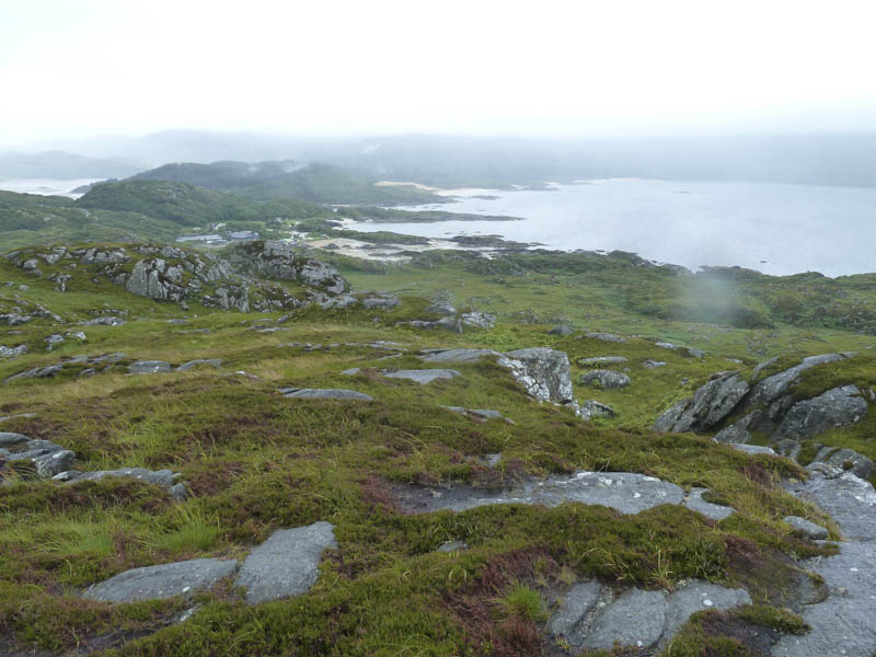
The descent took us round the north and west sides of Carn Mor before returning to the beach and car park.
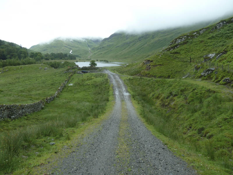
Creag nan Lochan – In the afternoon I drove to Glen Moidart, accessed from Ardmolich on the A861 Lochailort to Salen Road, and parked at the end of the public road. I walked up the Glen with the intention of climbing the Hump, Creag nan Lochan, as well as to check out the crossing of the Glenforslan River for a planned ascent of the Grahams, Beinn Gaire and Croit Bheinn, the following day.
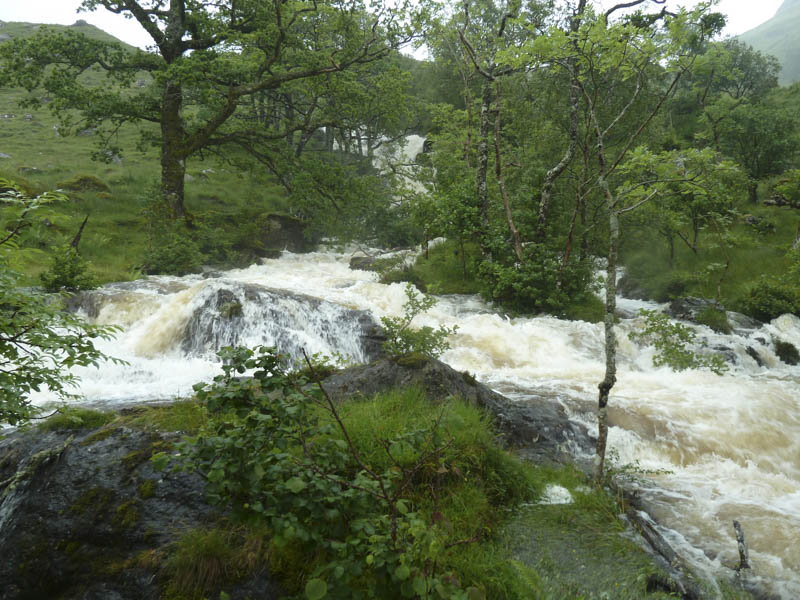
The water in the River Moidart was high, had burst its banks and was above the wooden slats of a footbridge. At the electric sub-station at the foot of Glen Forslan I took a slight diversion to the Glenforslan River and noted there was a bridge which was crossable despite the volume of water tumbling down the hillside.
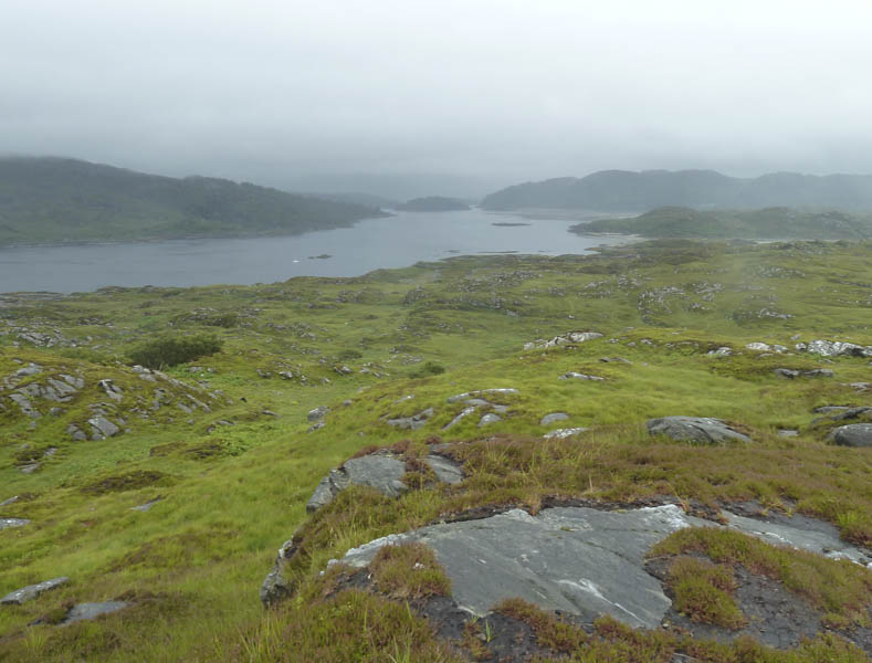
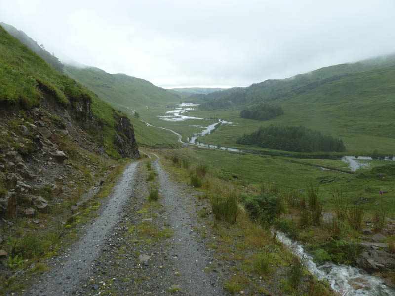
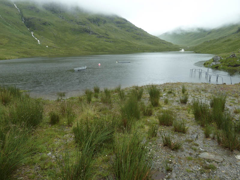
I returned to the power station and walked up the vehicle track to the dam at the Glen Forslan Reservoir and from there commenced the ascent of Creag nan Lochan.
This took me across wet and rough vegetation and into the low cloud. A stock fence was crossed then I wound my way through some rocks to reach the trig point. A nearby rock with a few stones on top was probably Creag nan Lochan’s highest point.
With no views I returned by the upward route.
- Total time taken – 4.5 hours.
- Total distance – 11.5 kilometres.
- Total height climbed – 645 metres.