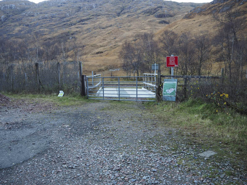
I met a hill walking friend at the starting point for the ascent of the Corbett, Beinn Odhar Bheag which was on the south side of the A830 Glenfinnan to Lochailort Road east of Loch Eilt where we parked on an area of hard core. (Grid Ref. NM856813) Once geared up we passed through a gate, crossed the Allt Lon a’ Mhuidhe and immediately thereafter the West Highland railway line.
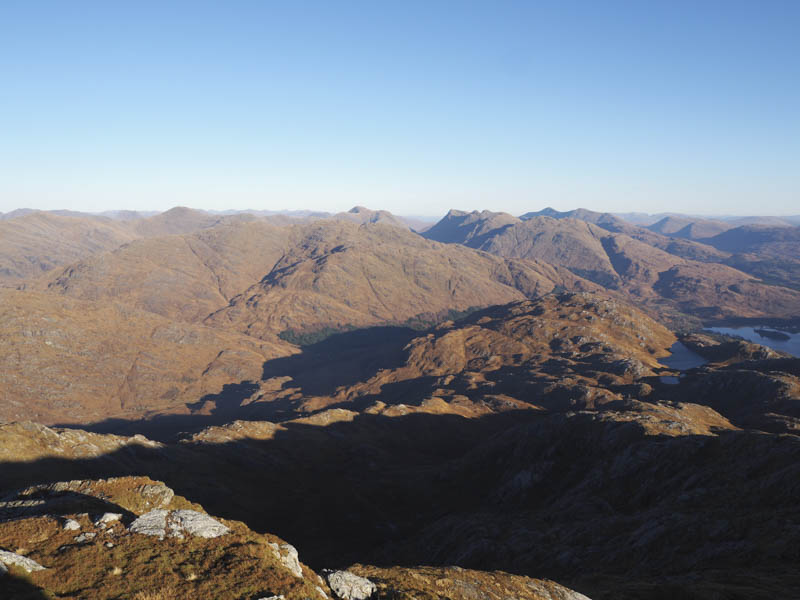
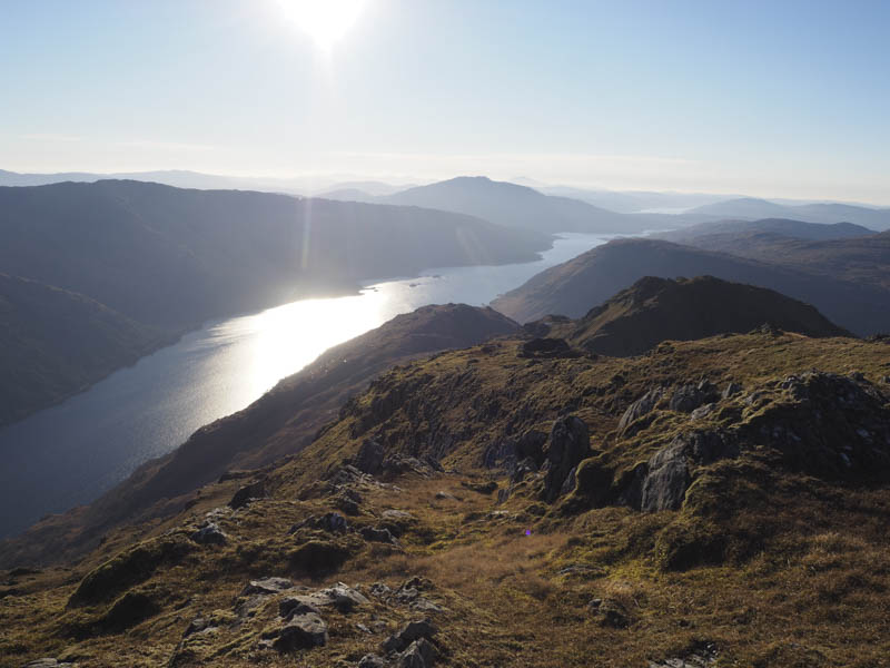
This took us onto a wet grassy path which later disappeared amongst some tussocky ground. It was then across some rough and in places rocky terrain as we climbed south-west with the views improving as height was gained.
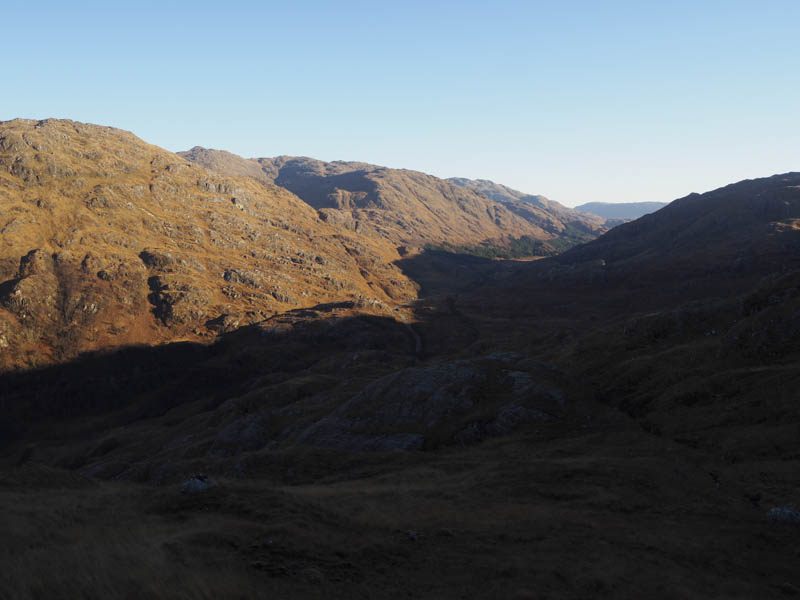

We later continued the ascent in a south-easterly direction crossing some frosty ground to reach the summit of the Corbett Top, Beinn Odhar Mhor, marked by a cairn and ruined trig point.
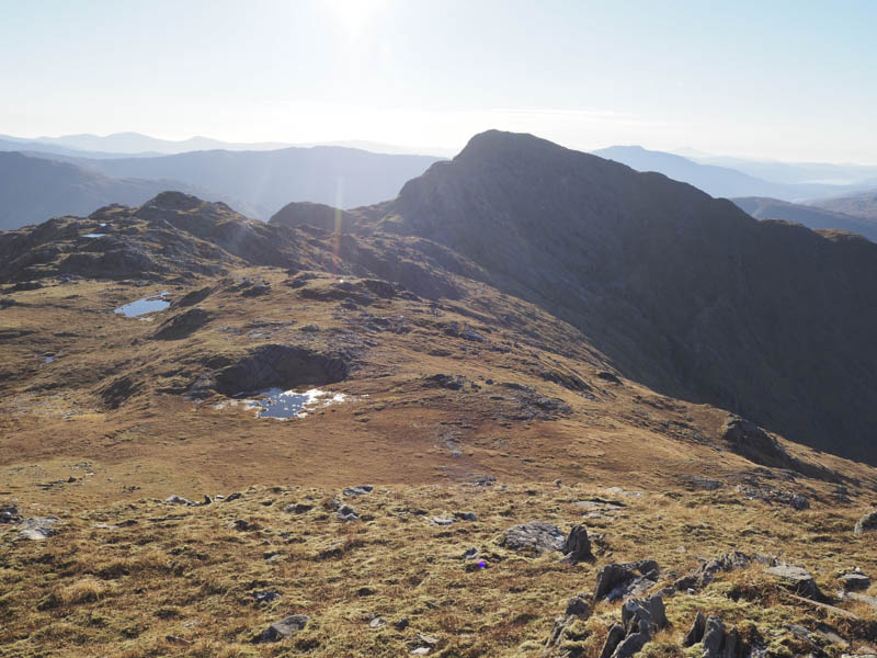
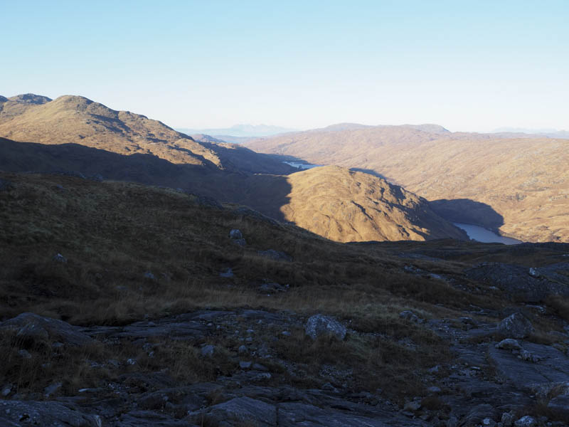
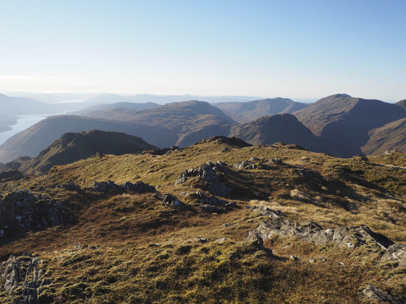
After a break here we headed south on a complex ridge passing several coire rims before ascending Beinn Odhar Bheag.
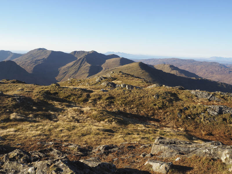
My walking companion headed off to climb the Corbett, Beinn Mhic Cedidh, which I had been on the previous day while I descended south-west to the col with Beinn a’ Chaorainn then climbed to the summit of this Corbett Top.
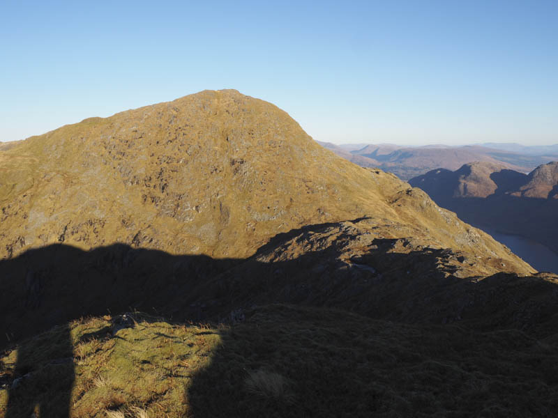
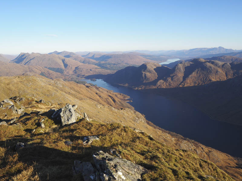
I returned to Beinn Odhar Bheag, where we planned to meet up and return via the approach route. As the afternoon wore on and with no sign of my walking companion I descended towards the Bealach a’ Choire Bhuidhe and met her on the north-west ridge.
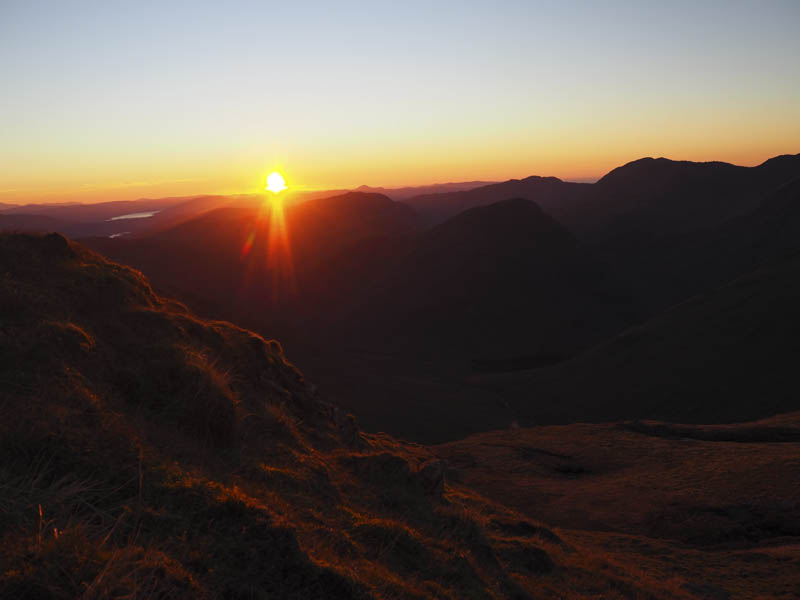
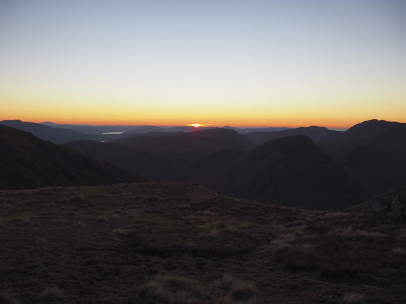
As the sun was setting we descended to Bealach a’ Choire Bhuidhe and into Coire Buidhe where darkness seemed to arrive rather quickly while the hill tops were bright from the sun setting.
Head torches were in use as we walked down the west side of the Allt a ‘ Choire Bhuidhe on rough and pathless terrain. Lower down the route narrowed and became quite awkward with several wee gorges to cross and some long dead vegetation.
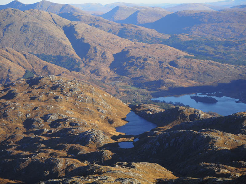
Once through this area we headed north-west to join the ATV track I used the previous day. It took us across the Allt a’ Choire Bhuidhe via a bridge, under the West Highland railway line via an underpass, then along the wet and boggy track to the crossing point of the Allt Lon a’ Mhuidhe. It was then onto the A830 and a walk up this twisting section of the road east back to our cars.
- Time taken – 8 hours.
- Distance – 12.75 kilometres.
- Height climbed – 1205 metres.