The proposed starting point for this walk was the A708 Moffat to Selkirk Road at Selcoth but there was no suitable parking here other than within the estate grounds. I continued north-east along the A708 to the Moffat Water Hall at Roundstonefoot where I left my car before walking back to the access road to Selcoth.
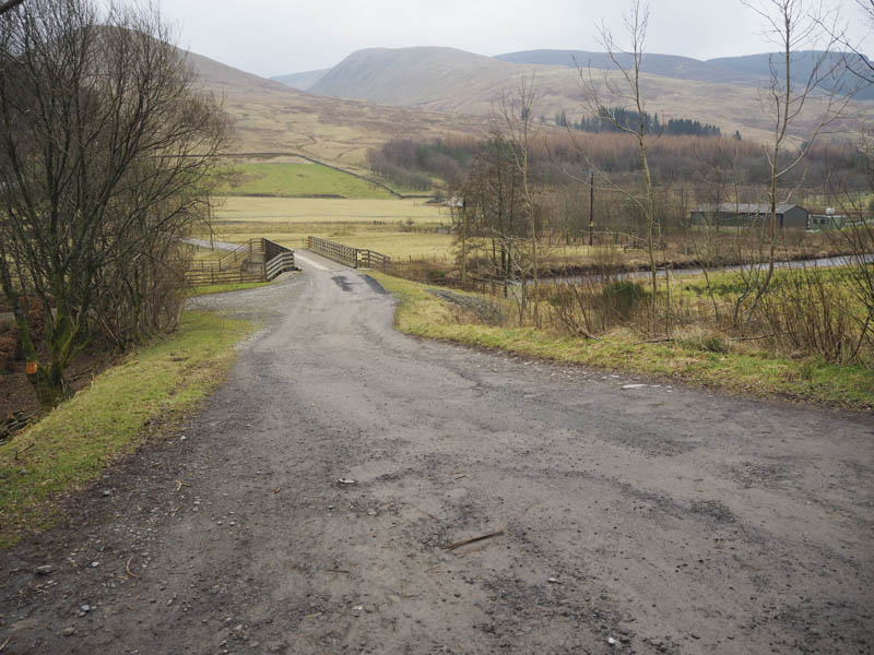
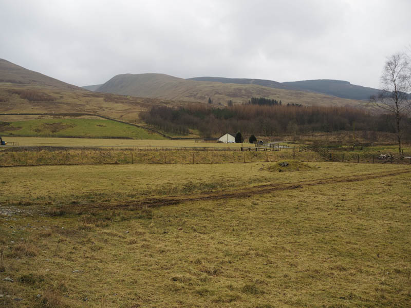
The vehicle track was followed to Selcoth Farmhouse then to the cottage beyond. The track continued along the front of this cottage then into a field where it split. We elected to take the left hand one which headed south onto the lower reaches of Croft Head and to empty game bird compounds where it came to an end.
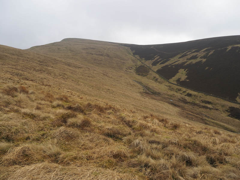
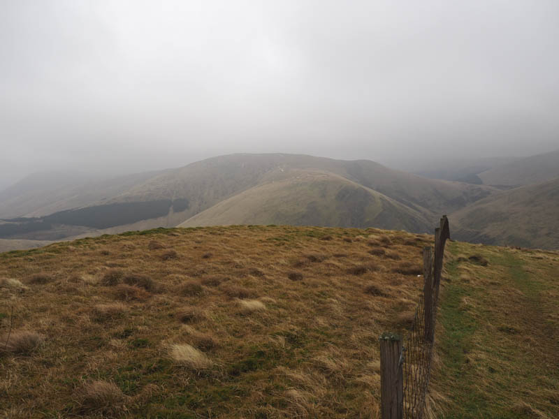
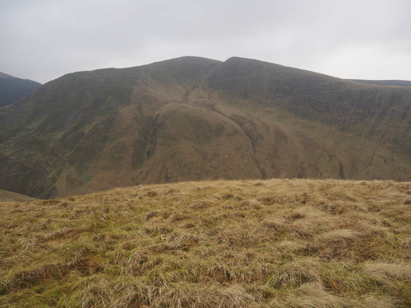
It was then a climb through pathless vegetation, avoiding a couple of knolls, to reach the summit of the Graham and New Donald, Croft Head. Apparently the highest point was unmarked but was close to the junction of several fences.
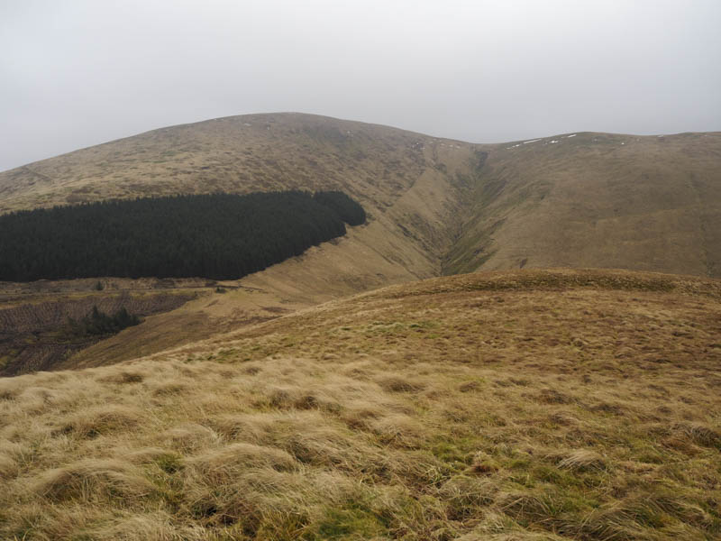
There was a cold wind blowing so we headed down Cat Shoulder on a zigzag path to join the Southern Upland Way. On reaching the glen the path continued north-east gaining a bit of height before descending to cross the Selcoth Burn via a small arched wooden bridge.
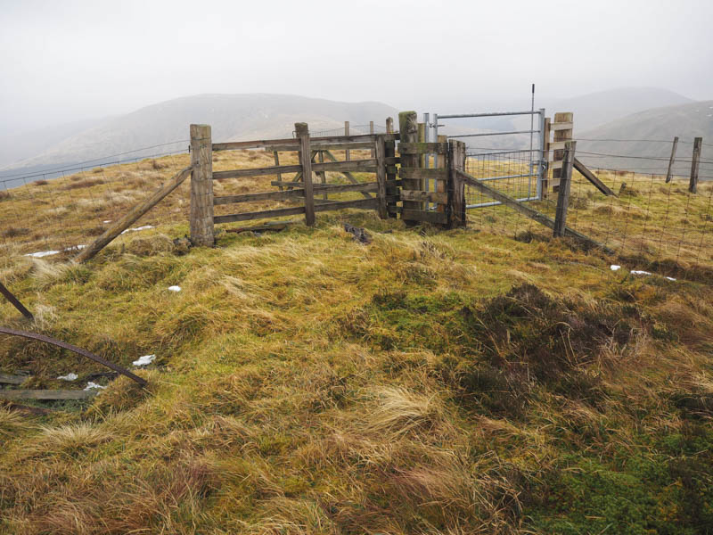
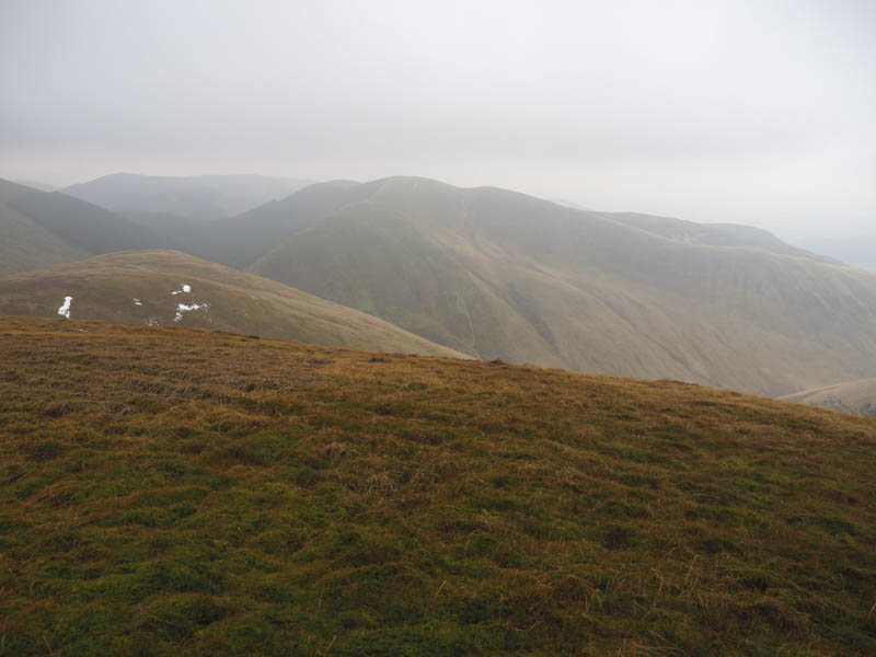
Some height was gained as we continued towards Ettrick Head but before reaching a stock fence we left this path and climbed north-west over grassy vegetation to reach the summit of the Graham and New Donald, Capel Fell. The highest point may have been marked by an old wooden post.
It was still windy so we descended north-west to reach a forest track which took us south and out of the trees.
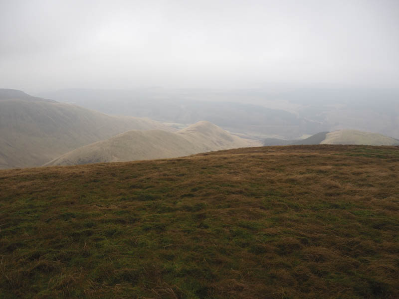
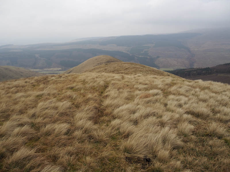
Faint quad vehicle trails then led to the unmarked summit of the Tump, Broken Brack. The descent was along its north-west ridge before a steeper drop led to the track on the north side of the Selcoth Burn.
This track was followed to the farm road, east of the farmhouse, and then it was back to the Moffat Water Hall via the outward route.
- Time taken – 5 hours.
- Distance – 13 kilometres.
- Height climbed – 845 metres.