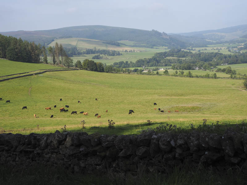
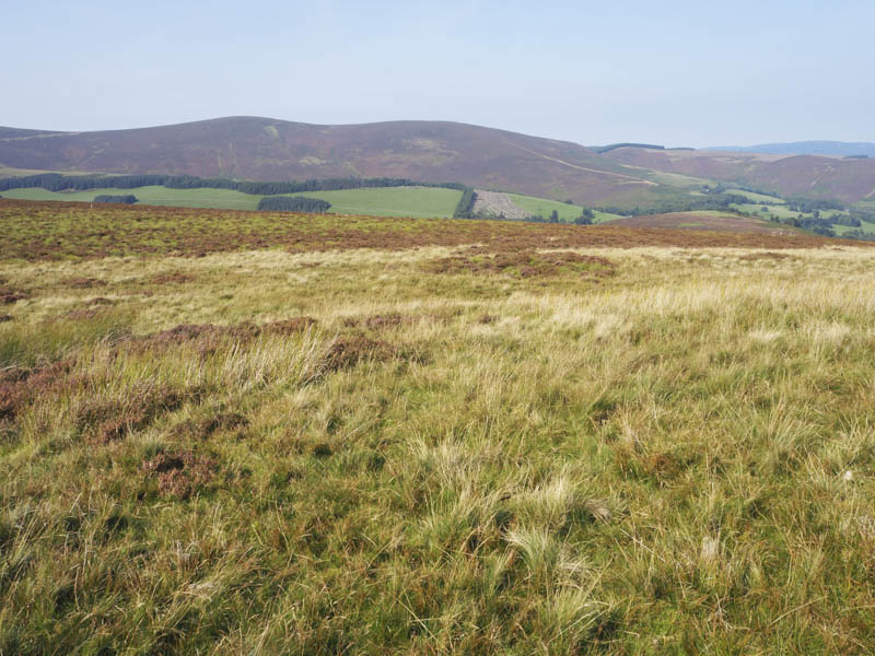
Minch Moor – The starting point for the ascent of this hill was Traquair, south of Innerleithen. Signage at the local hall, east of the B709, indicated that it was usually possible to park in their car park except at weekends when the hall may be in use and permission should be sought. It was a Wednesday so after leaving my car there I walked south-east, past a couple of houses and onto a vehicle track, the Cross Borders Drove Road and part of the Southern Upland Way. The track soon ran between a set of stone dykes with cattle and sheep in the adjacent fields, then later the track turned east and entered a woodland via a gate.
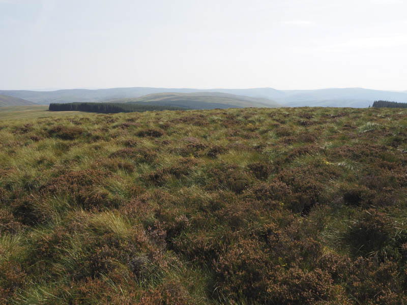
It was a steady climb through the trees to a highpoint on the Southern Upland Way. I left it here and walked south on another path to reach the trig point and ground nearby which was the highest point of the Marilyn, Minch Moor. On the other side of the trig was a pointed cairn.
After a break at the top hoping that the low cloud that was floating around would lift but it didn’t. The return was by the ascent route.
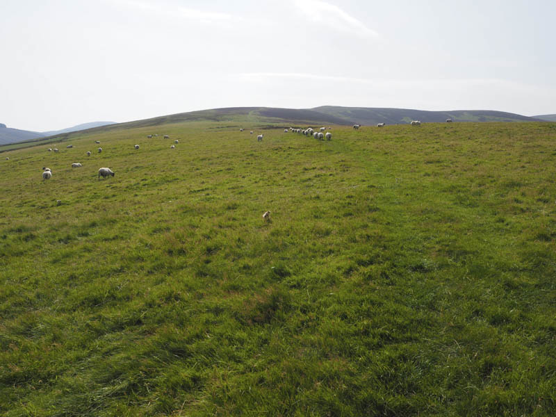
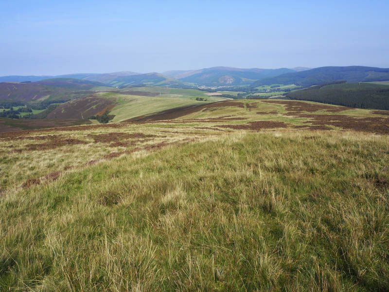
Blake Muir and Deuchar Law – I parked at the west side of the B709 outside Kirkhouse Church, south of Innerleithen, and walked a few metres south onto the Southern Upland Way. This route took me through several fields of sheep and across numerous stiles and onto the lower slopes of Blake Muir.
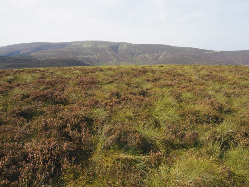
The path continued uphill and to the north-west of the summit. I therefore left the path and walked through heather to an area of grass that marked the highest point.
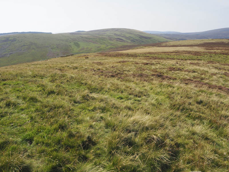
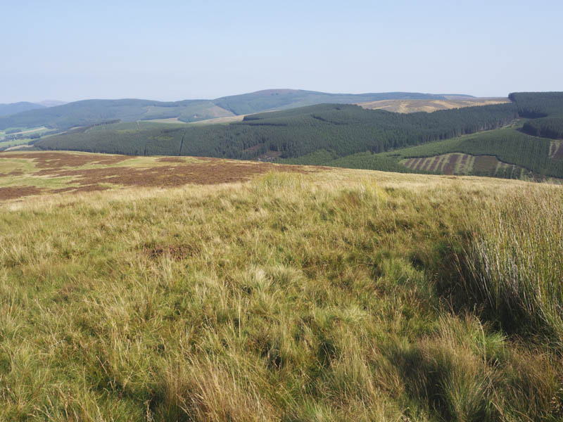
After a late lunch here I headed west to rejoin the Southern Upland Way before it descended south-west to a col and an open gate. I briefly stayed on the path as it climbed south then left it to head west and commence the ascent of Deuchar Law. The underfoot conditions were far from ideal with rough vegetation and some tussocky ground but eventually I reached the small cairn marking the summit of this Marilyn.
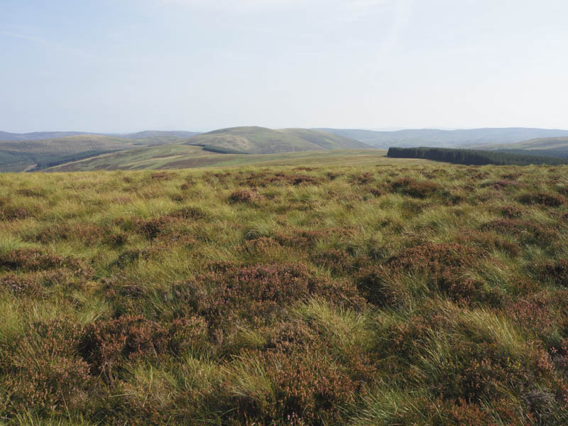
On leaving this hill I tried to find an easier route back to the Southern Upland Way but failed. On reaching this long distance trail I followed it back to Kirkhouse Church.
- Total time taken – 6.25 hours.
- Total distance – 20.5 kilometres.
- Total height climbed – 870 metres.