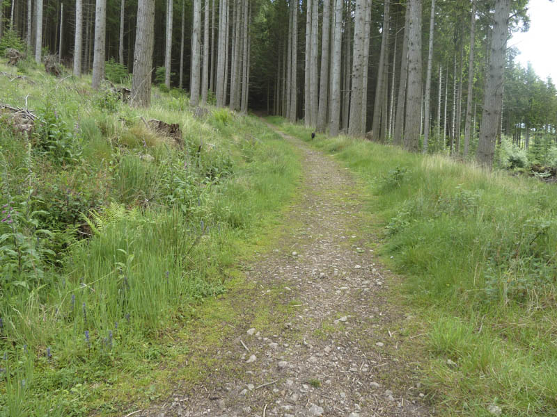
From the Donview Car Park, on the unclassified Monymusk to Keig Road, I followed sign-posted tracks and paths through forest and onto the open hillside.
![Path through forest](https://scotlandhills.net/wp-content/uploads/2021/01/01-Path-through-forest.jpg)
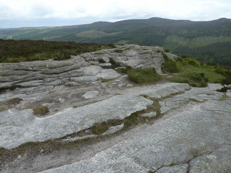
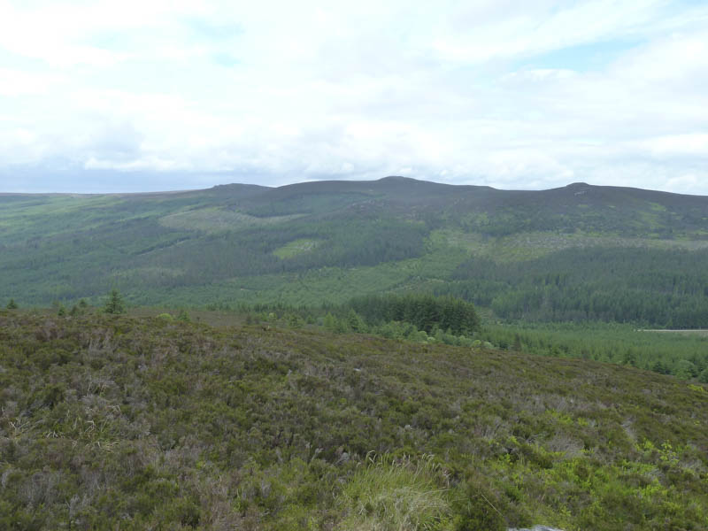
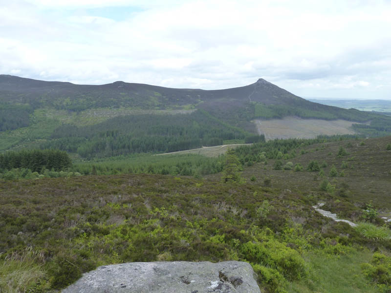
I then climbed to the summit of the Marilyn, Millstone Hill.
![Pitfichie Hill and Cairn William](https://scotlandhills.net/wp-content/uploads/2021/01/02-Pitfichie-Hill-and-Cairn-William.jpg)
![Summit, Millstone Hill](https://scotlandhills.net/wp-content/uploads/2021/01/03-Summit-Millstone-Hill.jpg)
![River Don and towards Keig](https://scotlandhills.net/wp-content/uploads/2021/01/04-River-Don-and-towards-Keig.jpg)
![Oxen Craig, Bennachie](https://scotlandhills.net/wp-content/uploads/2021/01/05-Oxen-Craig-Bennachie.jpg)
![Mither Tap, Bennachie](https://scotlandhills.net/wp-content/uploads/2021/01/06-Mither-Tap-Bennachie.jpg)
![Looking towards Inverurie](https://scotlandhills.net/wp-content/uploads/2021/01/07-Looking-towards-Inverurie.jpg)
![Looking towards Kemnay](https://scotlandhills.net/wp-content/uploads/2021/01/08-Looking-towards-Kemnay.jpg)
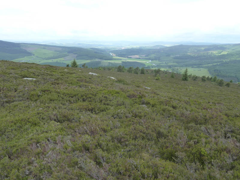
Thereafter I Initially continued north-east along a path which swung east then south to re-enter the forest. More sign-posted paths led back to the car park.
- Time taken – 1.75 hours.
- Distance – 5 kilometres.
- Height climbed – 325 metres.