The Graham, Meall nan Gabhar, is located south-east of Dalmally. On previous visits to this area I’ve driven from the A85 Tyndrum to Dalmally Road, opposite Corrygoil, south-east up the forest track and parked at the crossroads junction west of Succoth Lodge thus saving a few kilometres of walking. On this visit there was a new sign at the start of this forest track stating no unauthorised access but I decided to ignore it and take the risk and park as above and before an open gate with another no unauthorised access sign. This one I obeyed in case the gate was padlocked before I returned.
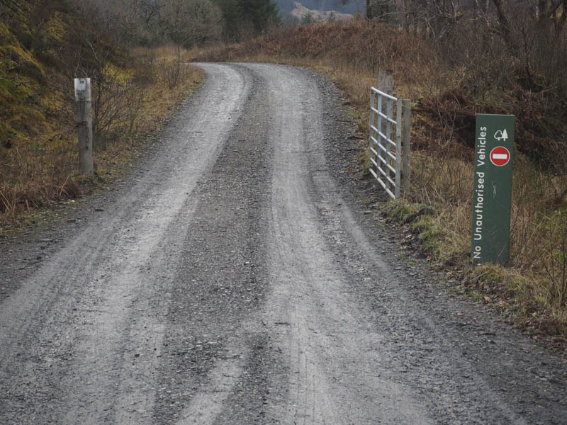
I set off through the open gate and walked south-east along the vehicle track soon passing under the railway bridge gradually gaining a bit of height to reach the bridge over the Allt Coire Lair. Here I left the track, climbed over a deer fence, and walked through an area where the trees had been harvested. The going here was awkward, through tree stumps, brash and some areas of rock.
Once clear of the felled trees I followed the north bank of the Eas a’Mhadaidh over a mixture of vegetation but as height was gained there was snow cover to contend with. I worked my way through Coir nan Each, avoiding obvious water hazards and a few peat hags, and climbed to the col between Meall nan Gabhar and Meall nan Tighearn.
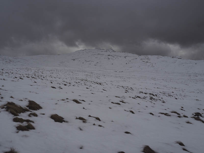
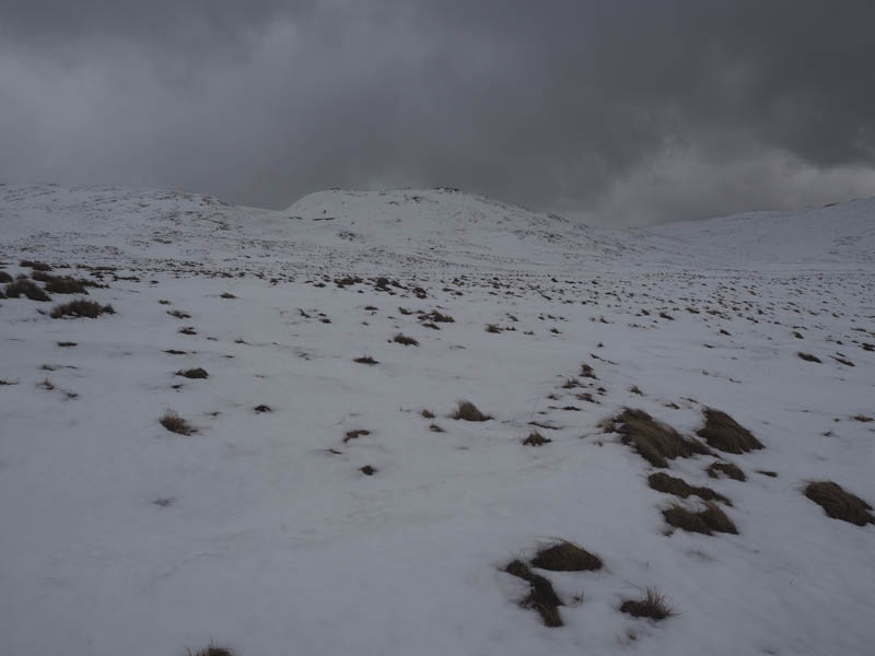
I then ascended the latter, a Graham Top.
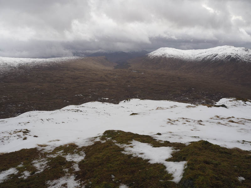
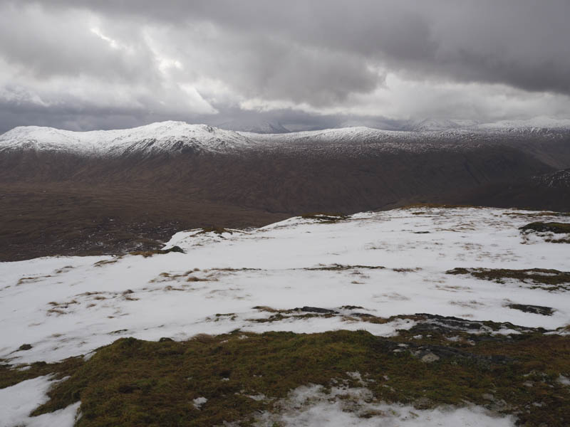
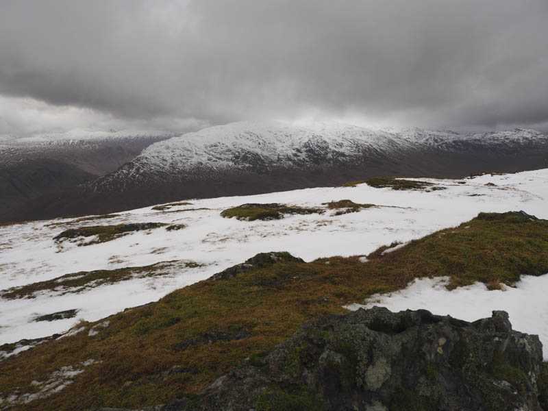
The wind was quite strong here so after a few photos I returned to the col and climbed the Graham, Meall nan Gabhar where I was buffeted by the wind.
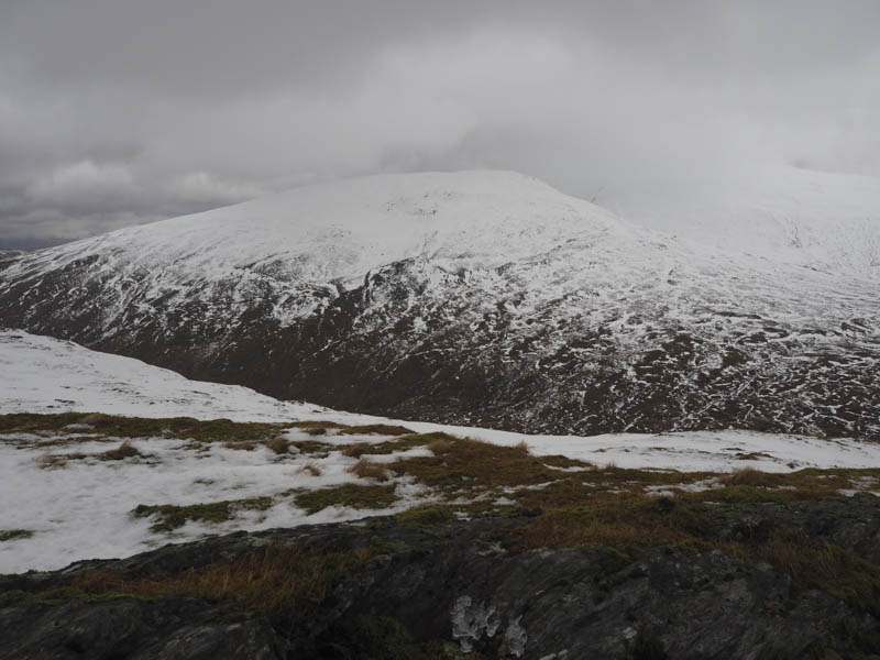
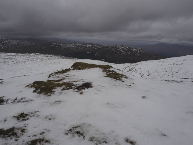
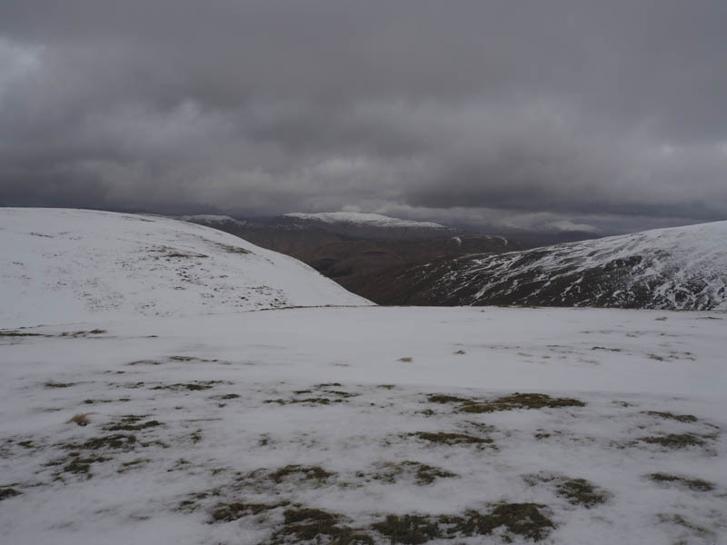
I therefore left the summit and descended south-west into Coir nan Each and returned to the start by the upward route.
- Time taken – 4.25 hours.
- Distance – 13.75 kilometres.
- Height climbed – 700 metres.