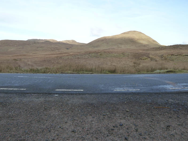
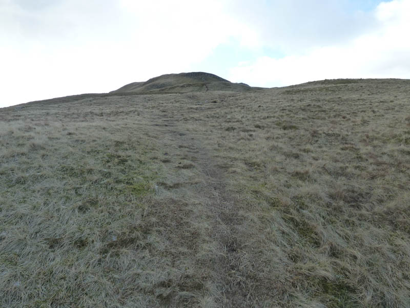
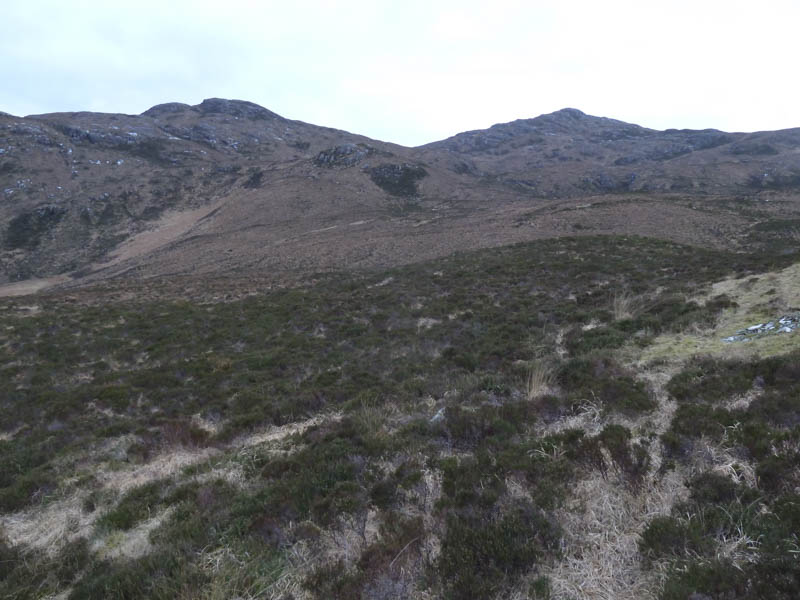
Beinn an Leathaid and Meall nan Con: I left my car on the B8007 Glenborrodale to Kilchoan Road at the entrance to the forest west of the junction to Achateny then walked north along ATV tracks which were spongy despite being frozen.
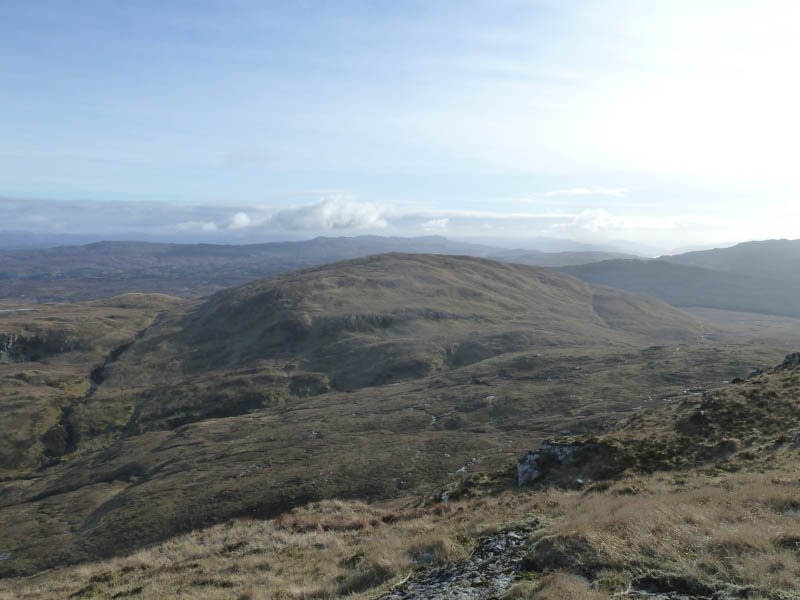
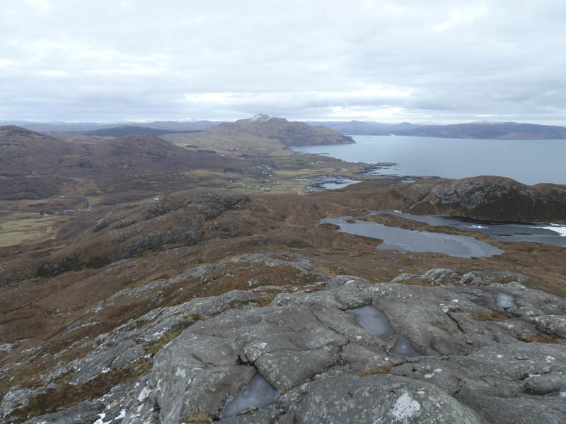
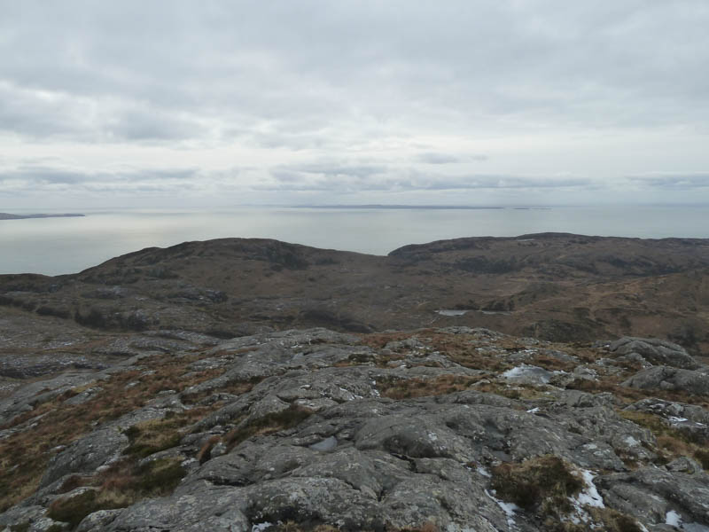
This took me to below Beinn an Leathaid then it was a reasonably easy ascent to the summit of this Hump, marked by a cairn. There were good views of the Isles of Eigg and Rum.
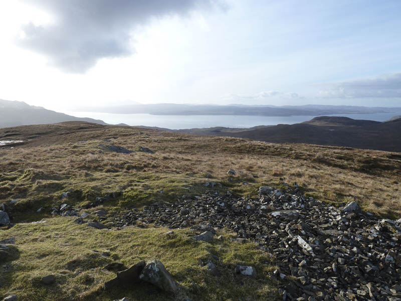
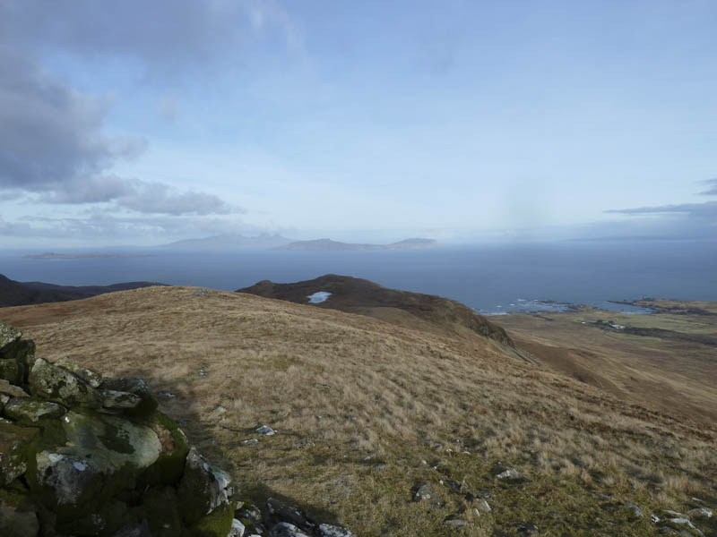
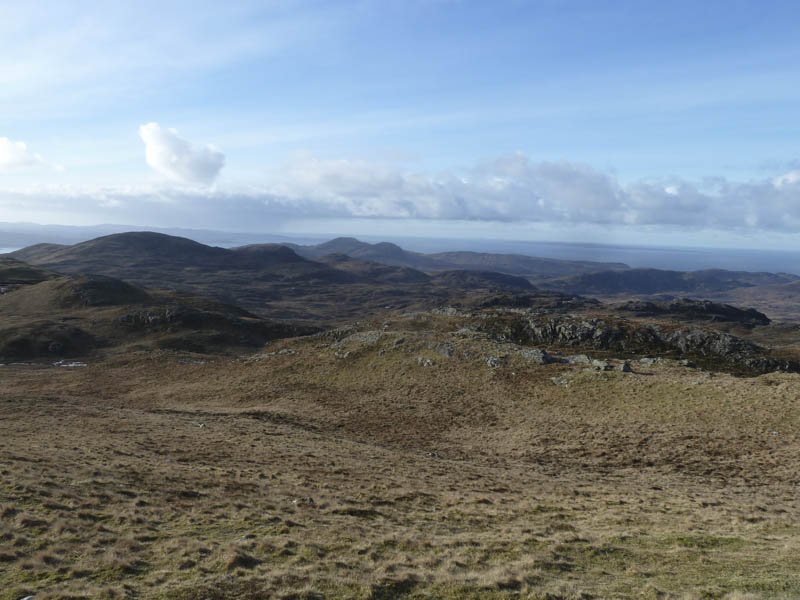
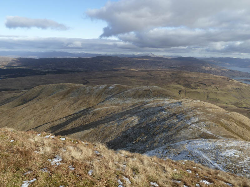
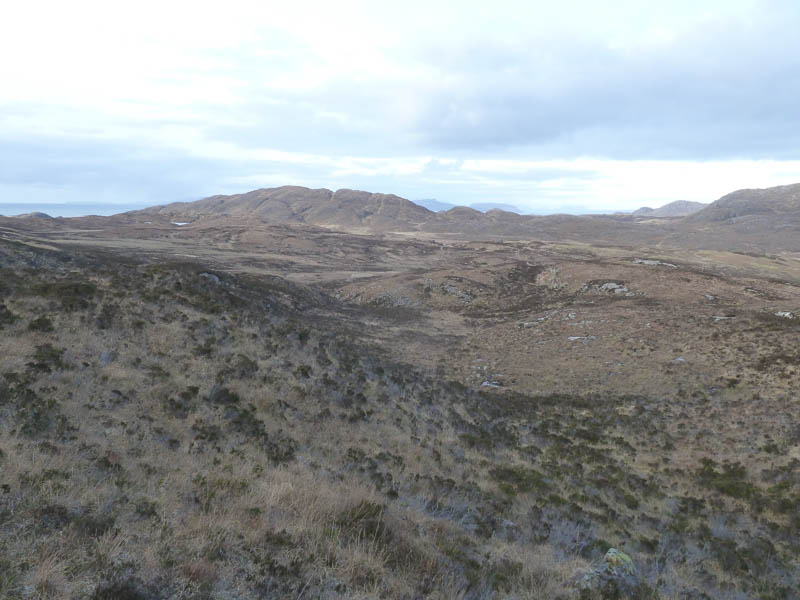
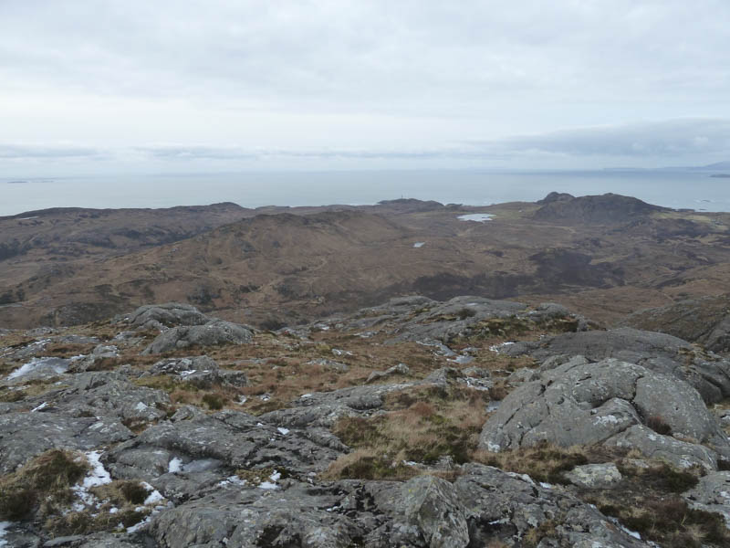
Thereafter I descended west then climbed onto the south ridge of Meall nan Con before heading for the summit trig point which was still maintained by Ordnance Survey for GPS purposes. Again there were good views of The Small Isles.
I spent time at the summit before returning down the south ridge then followed the Allt Rath a’ Bheulain back to the start.
Ben Hiant: Parked at the high point of the B8007 Glenborrodale to Kilchoan Road to the east of Ben Hiant where there was ample parking for several vehicles beside a gate leading to a wind turbine. I crossed the road and located a rough path that meandered onto Ben Hiant’s North-East Ridge where the ground was frozen with some icy patches.
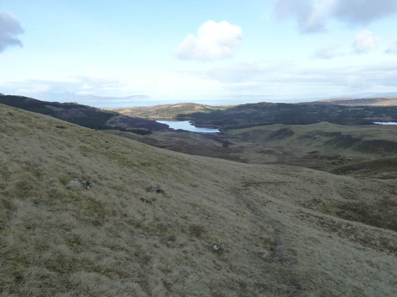
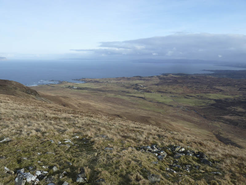
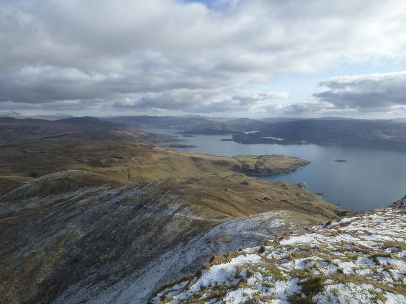
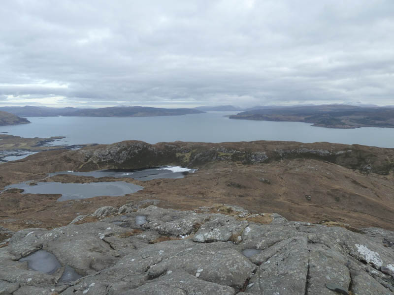
The path then continued up the ridge with ever improving views of Loch Sunart. Here I met a couple and their three young children on their descent.
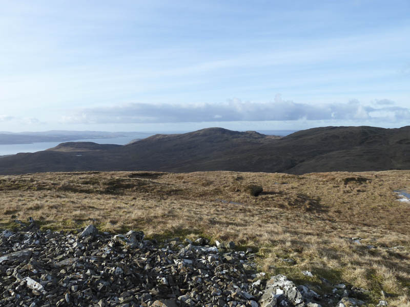
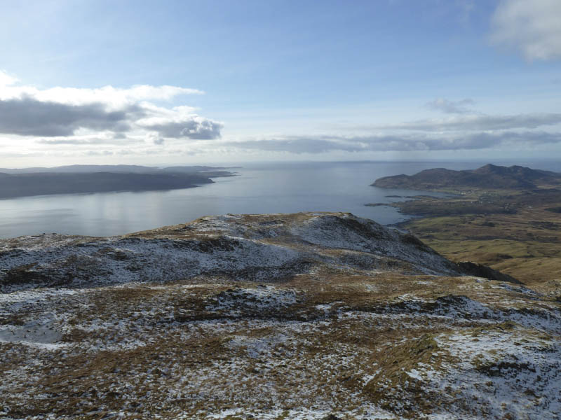
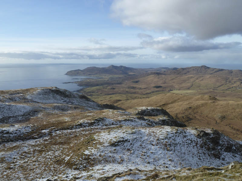
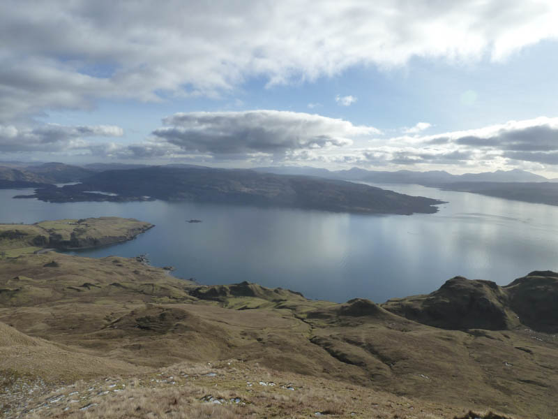
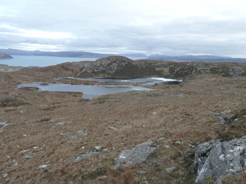
There was now a light covering of snow with more ice. The path ran round the south side of the summit then to the trig point. The cairn was the highest point of this Marilyn. I had a break here looking down The Sound of Mull before returning by the ascent route.
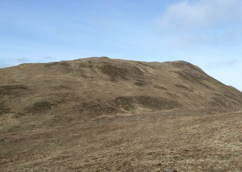
Beinn na Selig: The final Marilyn for the day was Beinn na Selig, located west of Kilchoan on the Ardnamurchan Peninsula. I parked on the east side of the B8007 Kilchoan to Achosnich Road beside the cemetery north-west of Kilchoan, crossed the road and some rough ground. On coming across a copper coloured boggy stream I diverted south over a stock fence before locating a suitable crossing point. The fence was re-crossed as was more rough and heathery ground before I climbed the gully between Stacan Dubha and Beinn na Seilg.
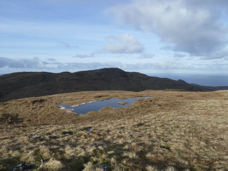
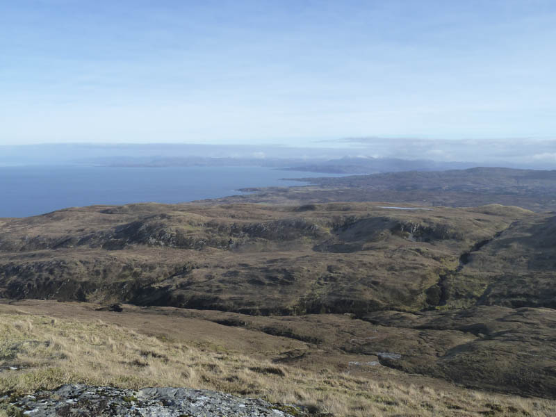
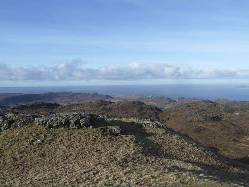
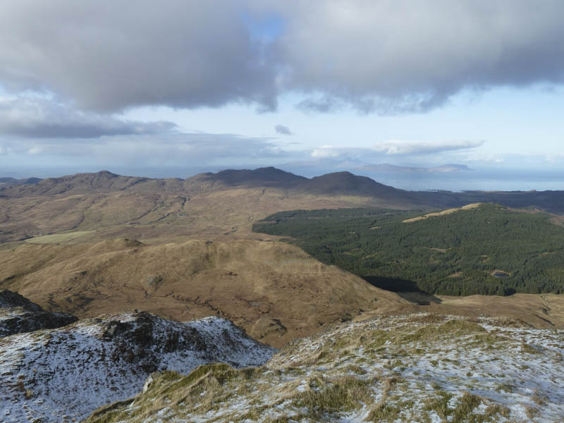
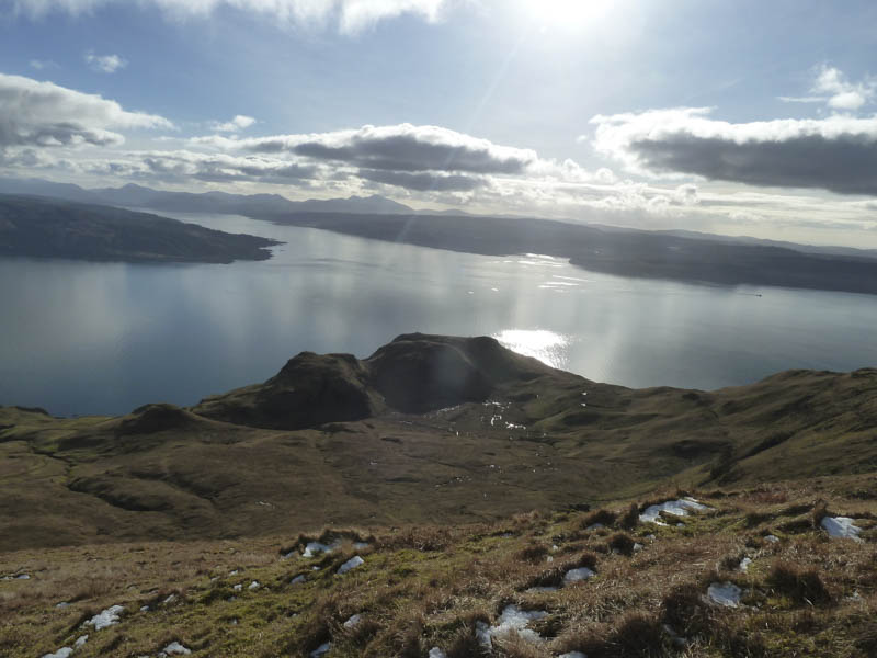
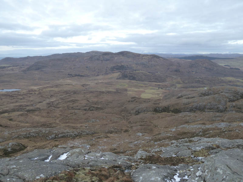
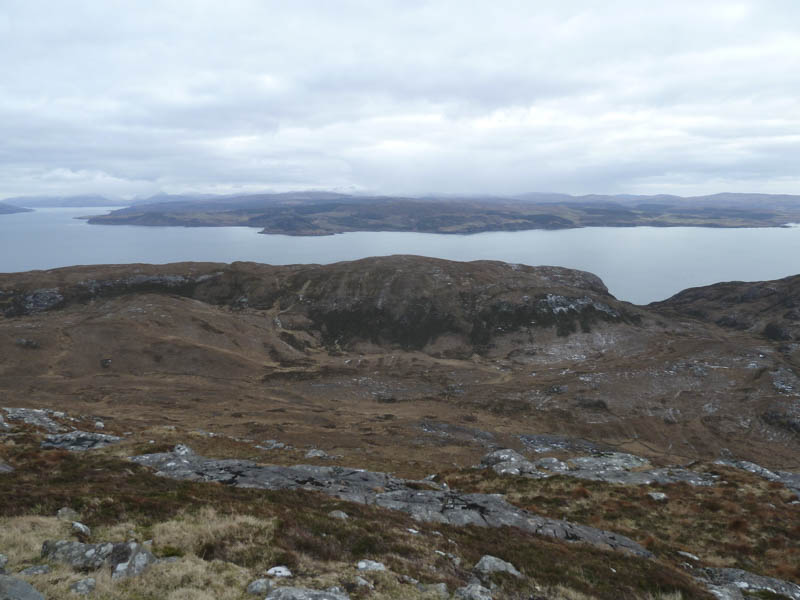
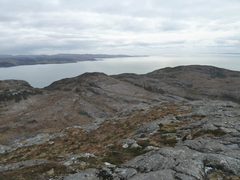
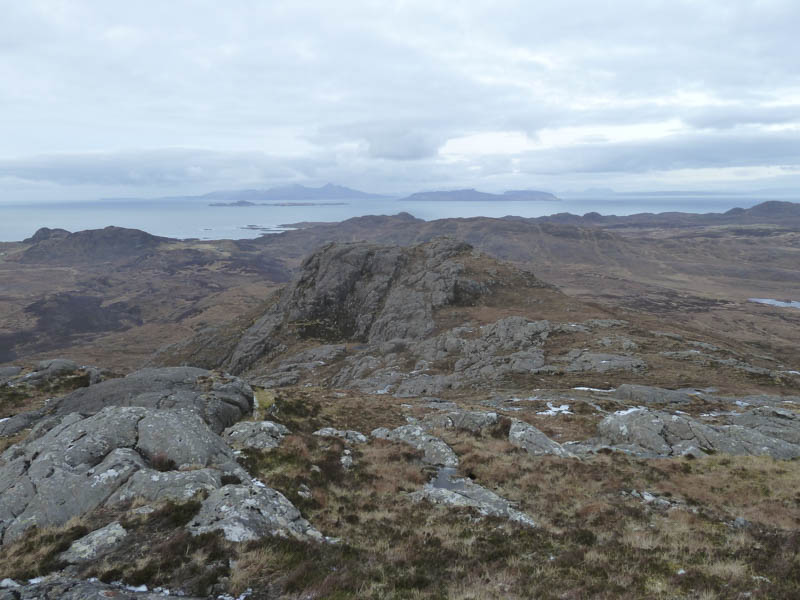
There were areas of ice as well as some rocky sections as I climbed Beinn na Selig. A path ran round the south side of this hill and up a small gully onto the summit. I visited a large cairn to the east before heading west across some rocky ground with some light snow cover to a smaller cairn which was apparently the highest point. Here there were views of the Islands of Mull, Coll and Tiree.
I returned by the upward route although lower down kept a bit further north although I still had to cross the stream emerging beside a small recycling centre.
- Total time – 7.5 hours.
- Total distance – 15.25 kilometres.
- Total height climbed – 1135 metres.