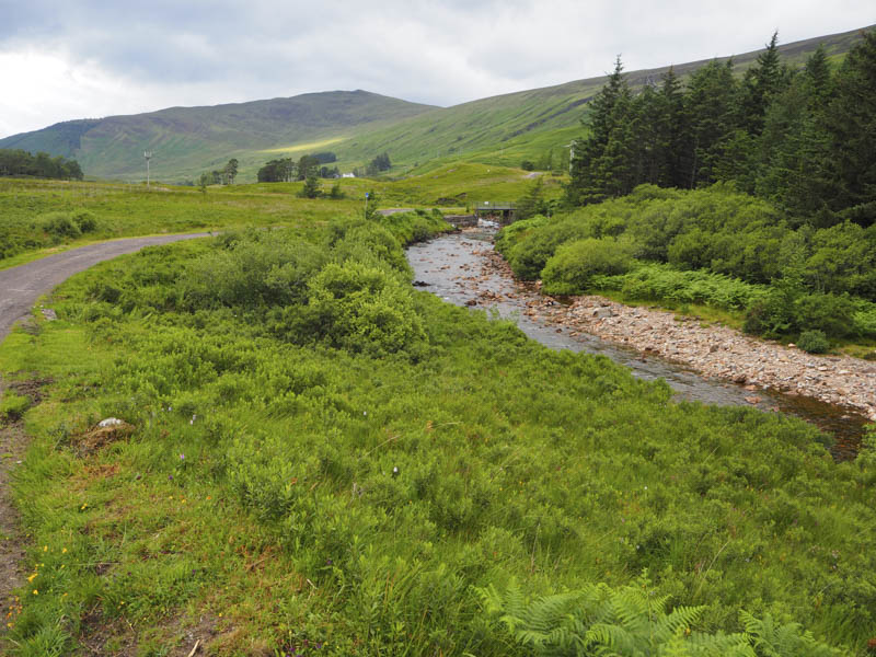
Rain was forecasted for later in the morning so I decided on a short hill walk to the south of Fort William. I drove along the minor single track road, which terminated at Lundavra Farm, and parked off road to the east of the bridge over the River Klachnish.
I walked briefly west, crossed the road bridge, and onto a vehicle track which soon came to an end at a farm building.
I therefore headed north-west across rough grassy vegetation to a stock fence.
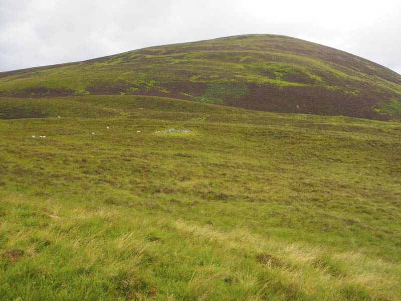
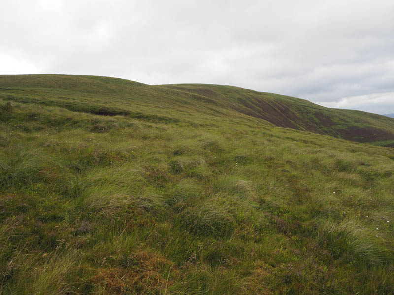
Beyond this fence the gradient increased with a mixture of heather and grass. Further on the gradient eased with some tussocks and peat hags to contend with.
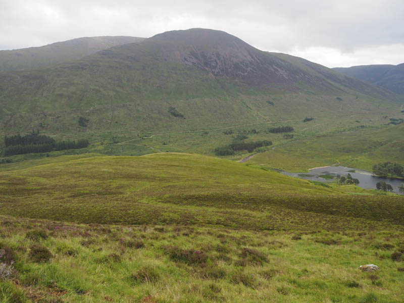
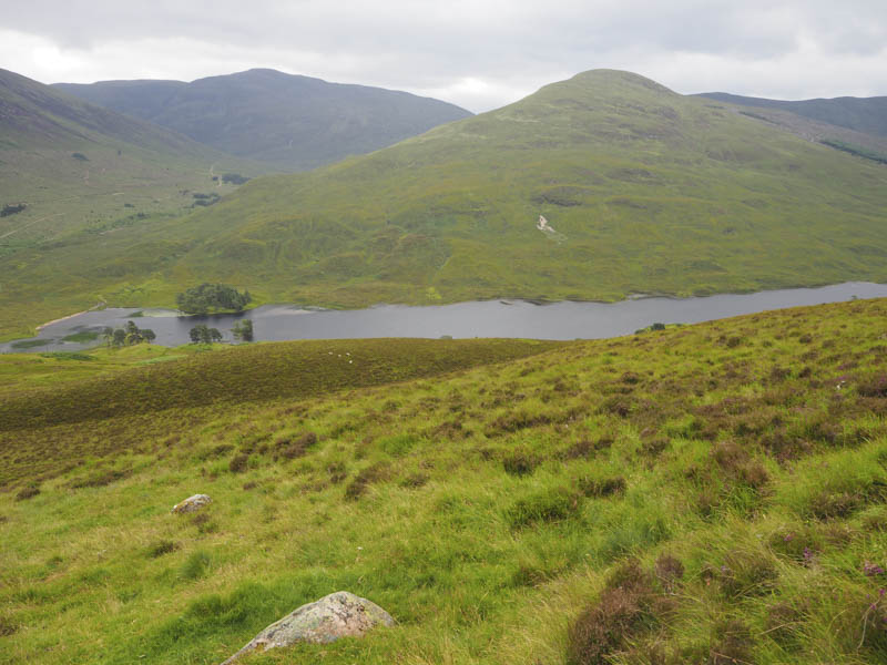
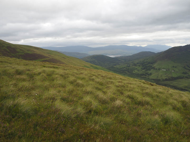
This led to Sron Gharbh and round the head of Coire Dubh.
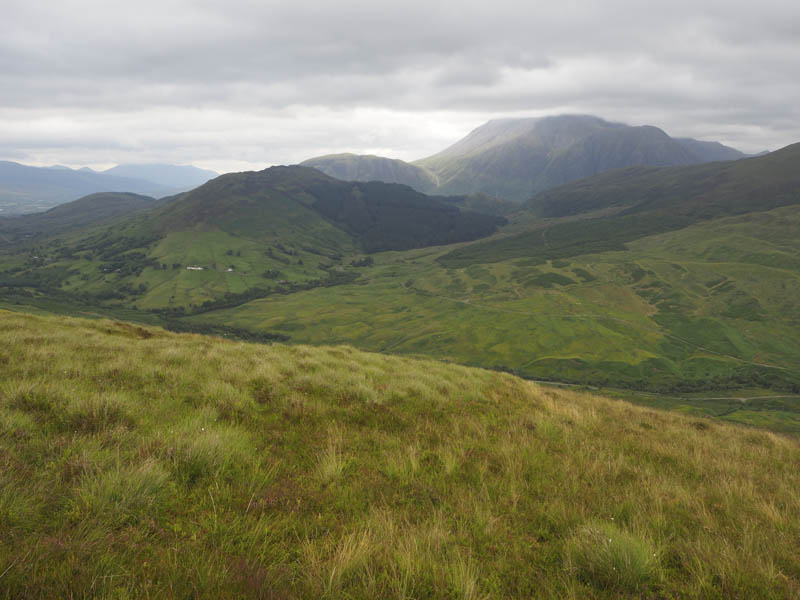
This was followed by a short walk north to the summit of Meall nan Cleireach as light rain commenced. The highest point of this Tump was ground north of the cairn.
The return was by the ascent route.
- Time taken – 2hours 30 minutes.
- Distance – 5.5 kilometres.
- Height climbed – 230 metres.