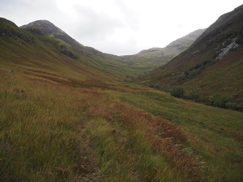
I parked my car just west of the bridge over the Allt Gleann a’ Chaolais, on the B863 Glen Coe Village to Kinlochleven Road, walked across the bridge, and located the start of the path up the east side of the stream. This is also the starting point for the Corbett, Garbh Bheinn.
The path was rough in places as well as being wet and boggy and had also been used by quad vehicles.
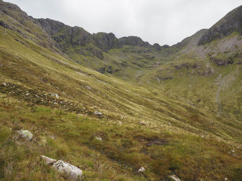
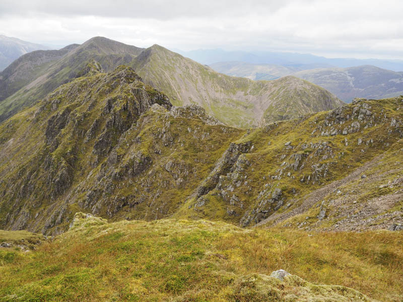
Higher up in Gleann a’ Chaolais I crossed a tributary of the Allt Gleann a’ Chaolais and continued south before climbing onto the north-east ridge of Meall Dearg.
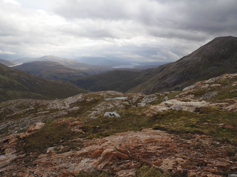
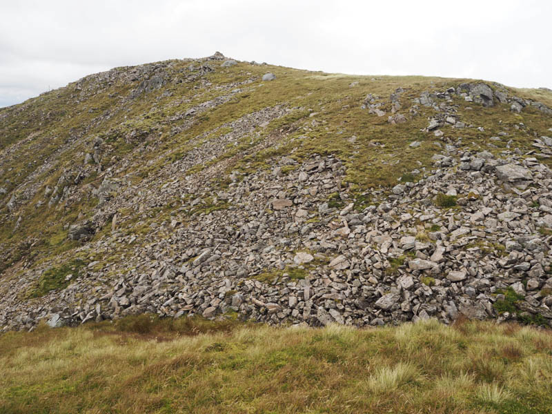
Here there were some old fence posts, the terrain consisting mainly of grassy vegetation with some boulders and scree.
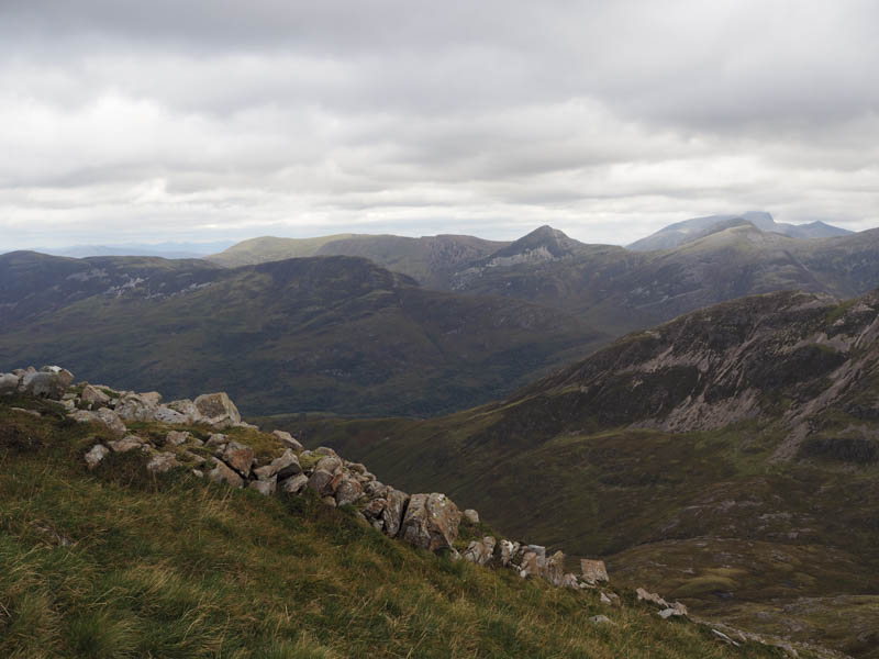
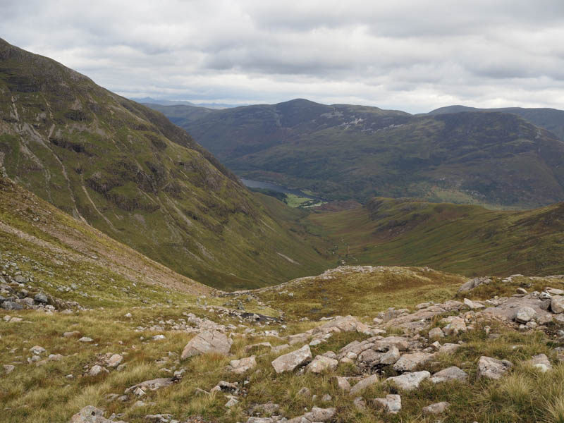
It was an easy enough climb to the cairn marking the summit of this Munro where it was a touch breezy.
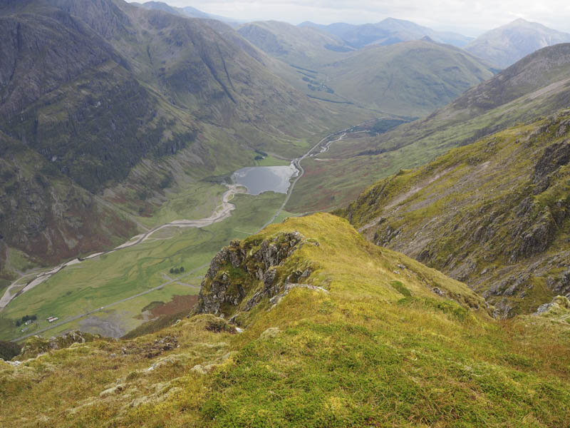
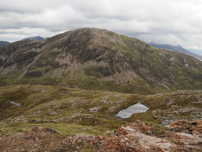
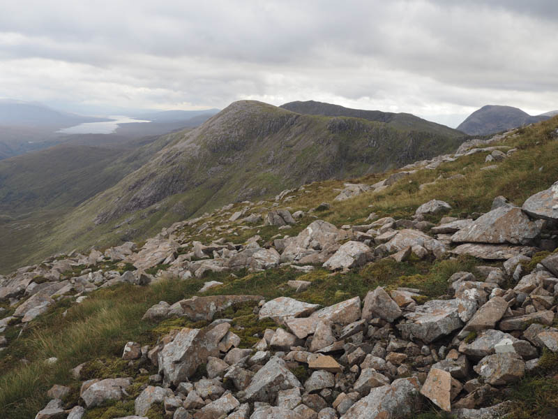
After taking a short break I returned down the north-east ridge to the col with Garbh Bheinn before descending to the Allt Gleann a’ Chaolais and returning to the start.
- Time taken – 4.5 hours.
- Distance – 8.25 kilometres.
- Height climbed – 910 metres.