The starting point for this walk was the private road leading to Farraline Farm, located on the east side of the B862 Inverness to Fort Augustus Road north of Errogie. I was able to get my car off the road at this point as the vegetation on the verge was frozen.
I then walked south-east along the farm road which had a dusting of snow and was icy in places so once across the bridge over the Feith Ghlas I left the track, crossed a small stock fence, went round a clump of trees, and up a grassy field. This took me to a new stock fence under construction and here I spoke with the fencers. They advised me that on my planned direct approach to Meall a’ Ghuirmein there was an area enclosed by a deer fence so on leaving them I diverted south-east across another stock fence and through a few trees to the edge of this fence.
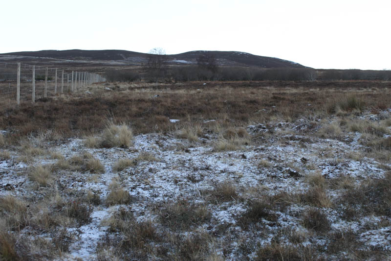
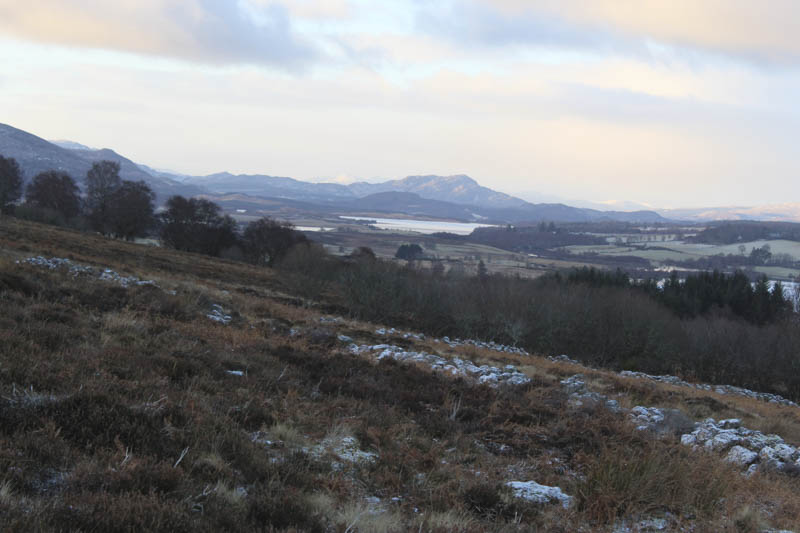
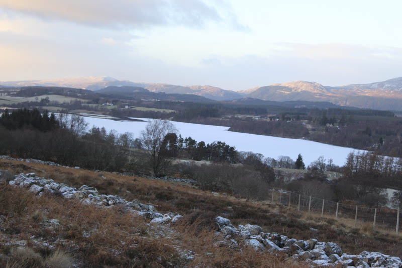
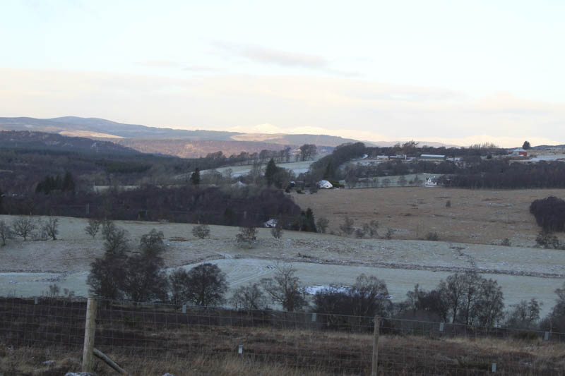
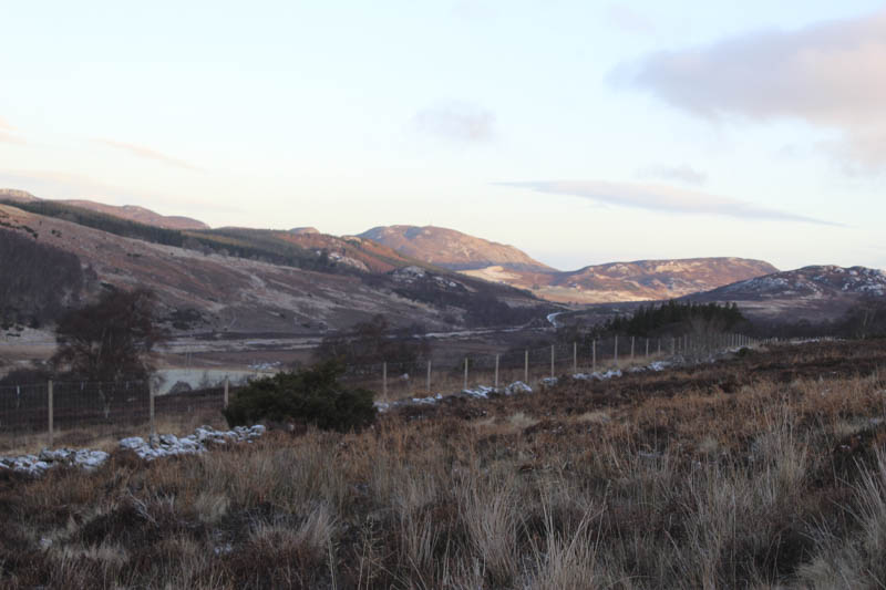
I followed the fence east then it was through heather, long grass and across some boggy ground which was mainly frozen. Eventually I reached the vehicle track shown on my map and walked north-east along this track which had a dusting of snow. Once below the summit of Meall a’ Ghuirmein I left the track and climbed through more long heather to a deer fence which had to be crossed to reach the summit of this Tump which was marked by a cairn.
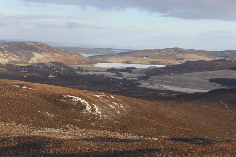
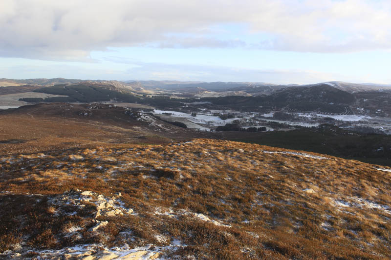
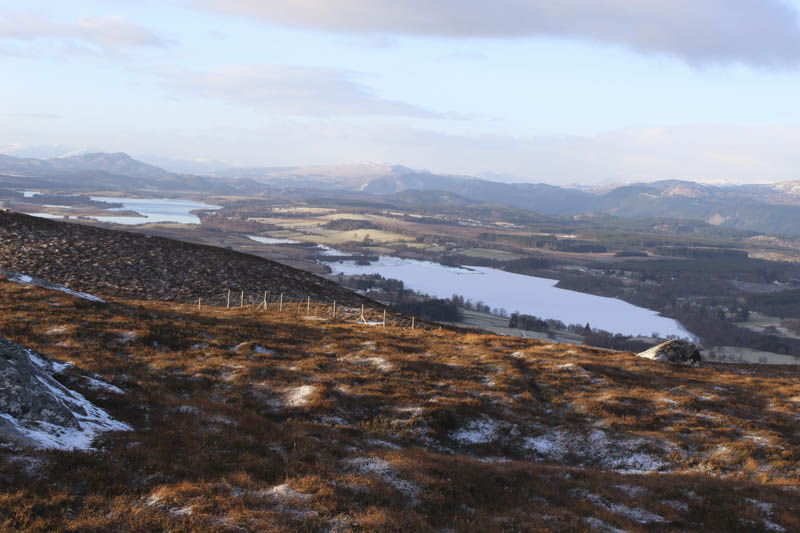
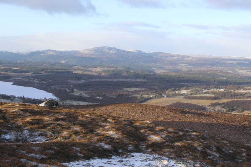
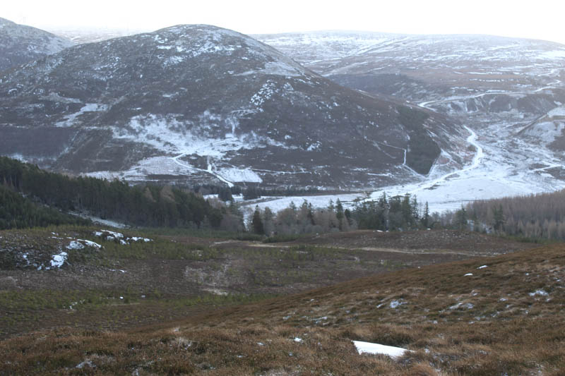
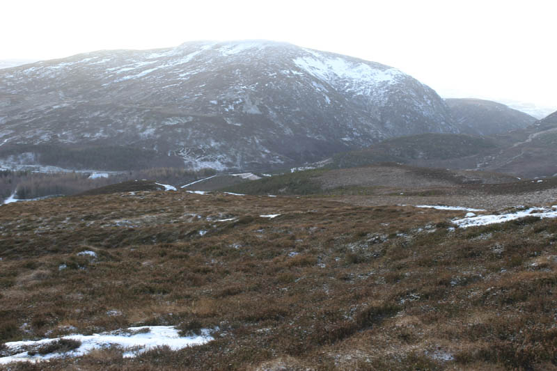
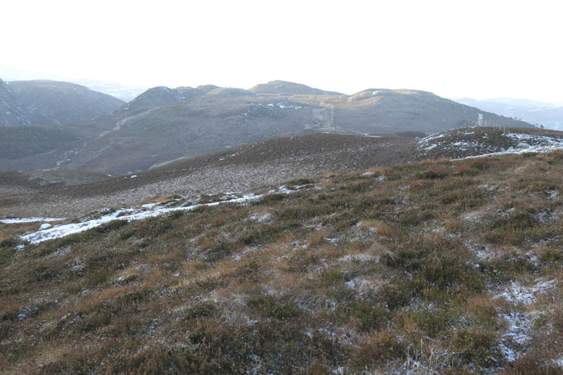
After a break here I returned to and re-crossed the deer fence near the summit then descended west over the long heather, crossing the vehicle track before continuing in the same direction to avoid the enclosure mentioned by the fencers. Lower down there were a few well spaced trees, some dead bracken, a stream and a couple of fields to cross to reach the access road to Farraline Farm at the point I had left it earlier.
- Time taken – 2 hours 15 minutes.
- Distance – 5 kilometres.
- Height climbed – 250 metres.