The start of this walk was the car park on the rough road at Broughton Place, accessed from the A701 Penicuik to Moffat Road, north of the village of Broughton. We passed through a gate at the end of the public road then immediately on the right another gate to enter a field containing sheep.
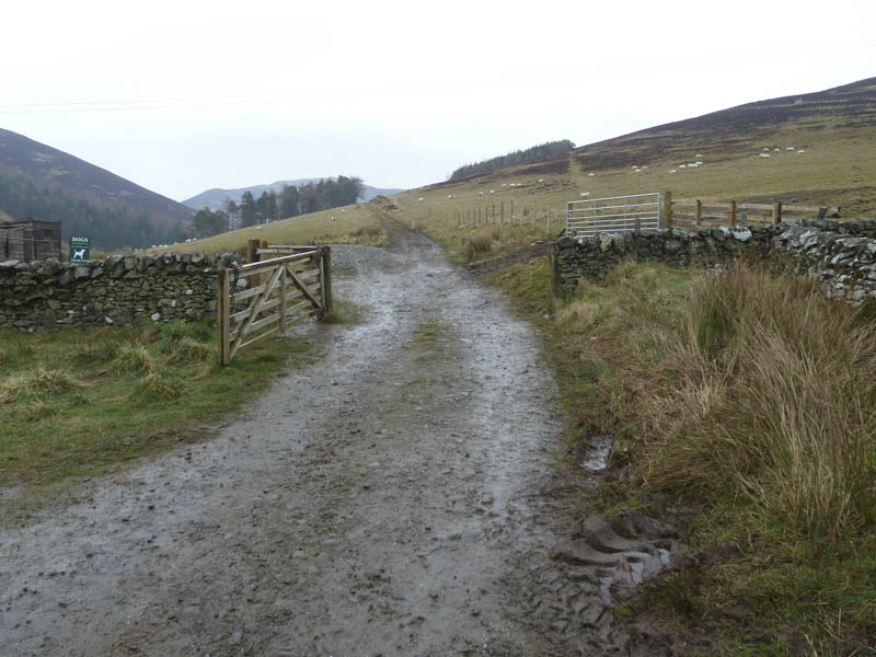
Once across this field a further gate led to the open hillside.
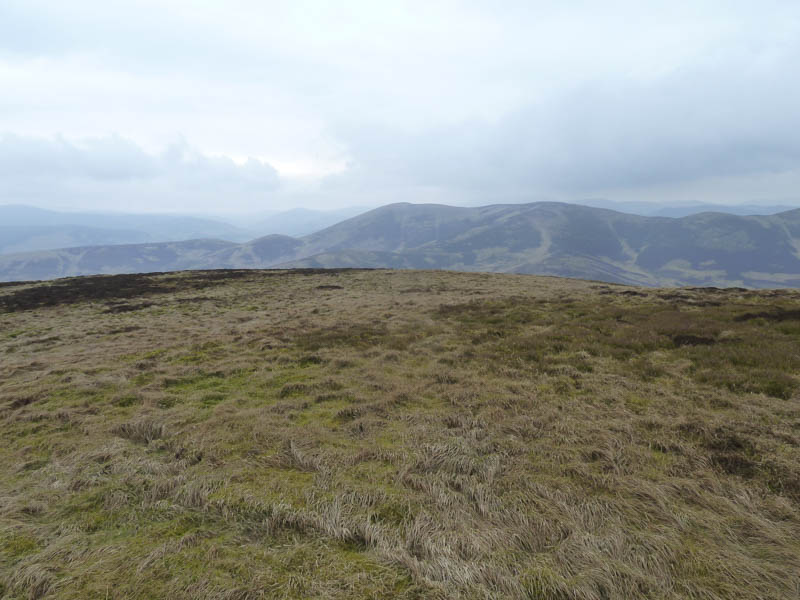
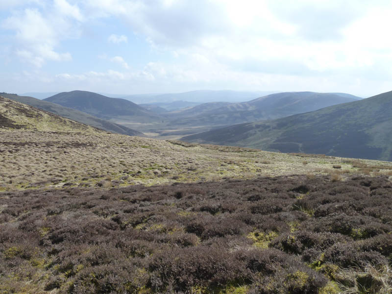
We then climbed onto Trahenna Hill’s South –West ridge. Higher up we left the ridge and took a slight diversion south-east to reach the small cairn marking the summit of this Marilynn.
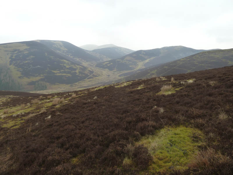
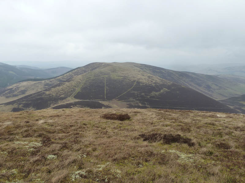
On returning to the ridge we headed over the 537 knoll and followed a vehicle track over Hog Knowe before descending to and crossing the Hopehead Burn at a point just north of the forest. After a break here we climbed north onto the summit of the Marilyn, Penvalla, which was unmarked.
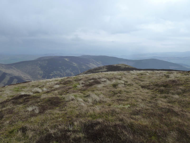
The route continued north descending to the col with Ladyurd Hill then a slight height gain to reach a junction of dykes and fences.
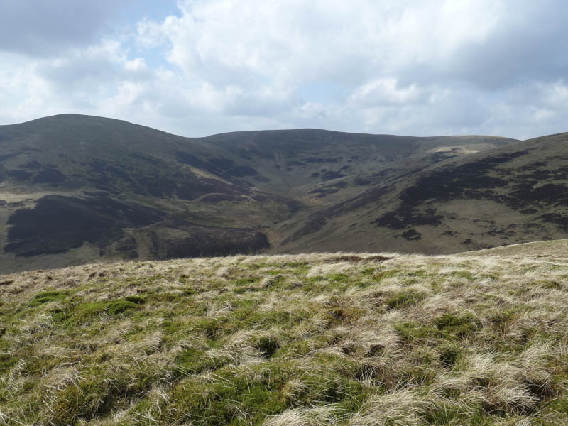
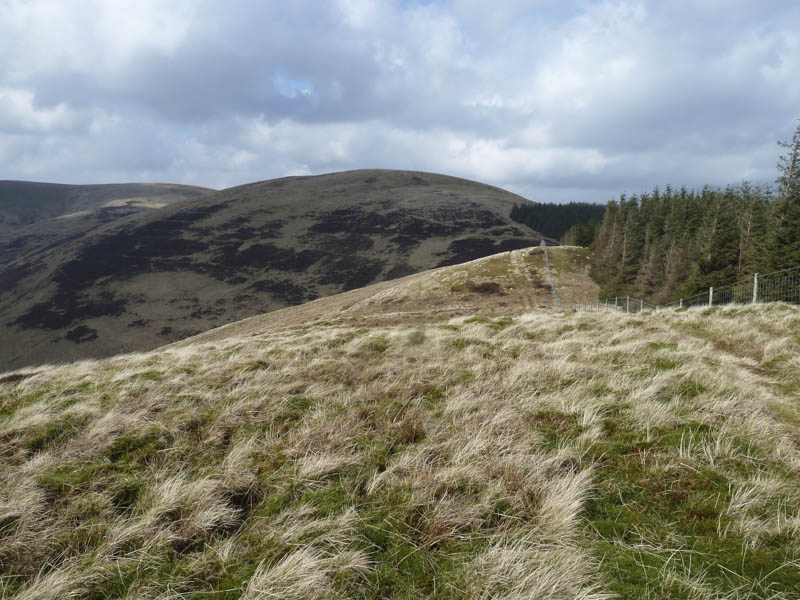
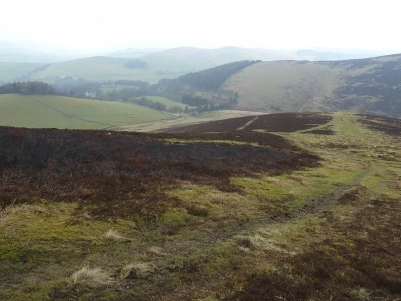
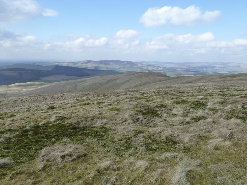
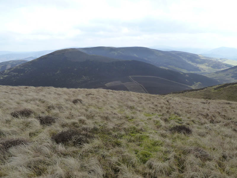
From here we worked our way round the south and west sides of this hill before climbing steeply along the edge of the forest, over Flint Hill, to the Tump, Brown Dod. This was followed by a short loss of height as we headed over to the north ridge of Broughtom Heights and climbed to its trig point marking the summit of this Marilyn.
The return to Broughton Place entailed a walk over the Tump, Green Law, then we descended to the watershed below Broomy Side.
From there a mainly wet and muddy path led back to the start with the final section being along a vehicle track.
- Time taken – 6.25 hours.
- Distance – 15.75 kilometres.
- Height climbed – 1030 metres.