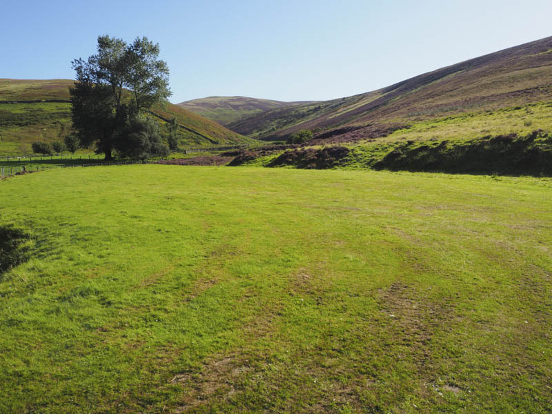
Windlestraw Law and Bareback Knowe – We left my car on the east verge of the B709, north of Innerleithen and just south of Blackhopebyre Farm, and walked south on a vehicle track before it turned east with a short steep section onto Glentress Rig.
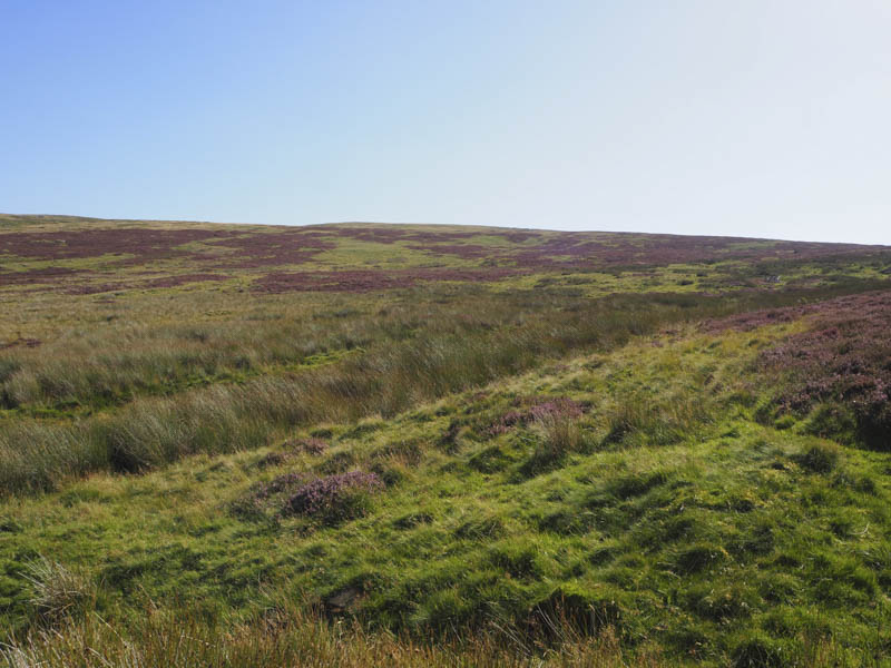
Beyond here the track turned peaty but after a recent dry spell only short sections were boggy and these were avoidable.
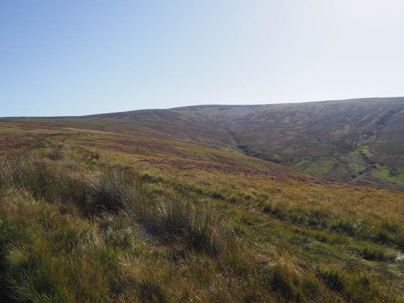
At a stock fence we left the ATV track and walked up a path to a junction of fences, the summit of the Graham and New Donald, Windlestraw Law.
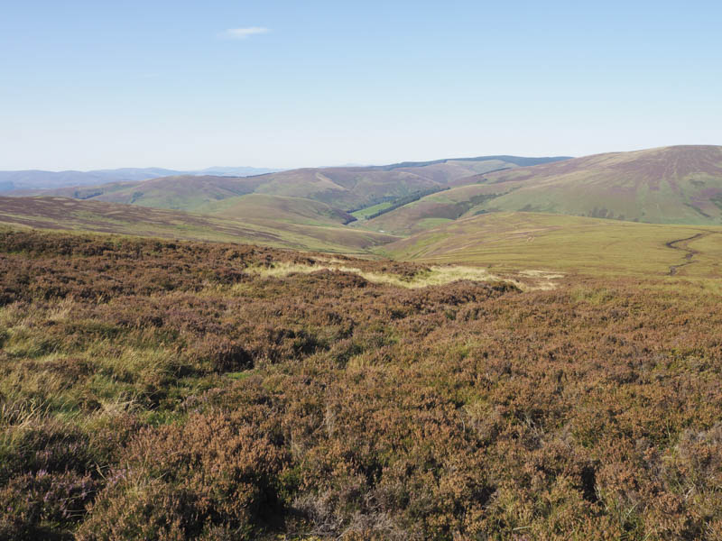
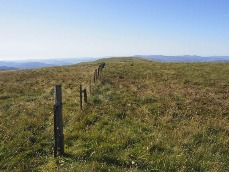
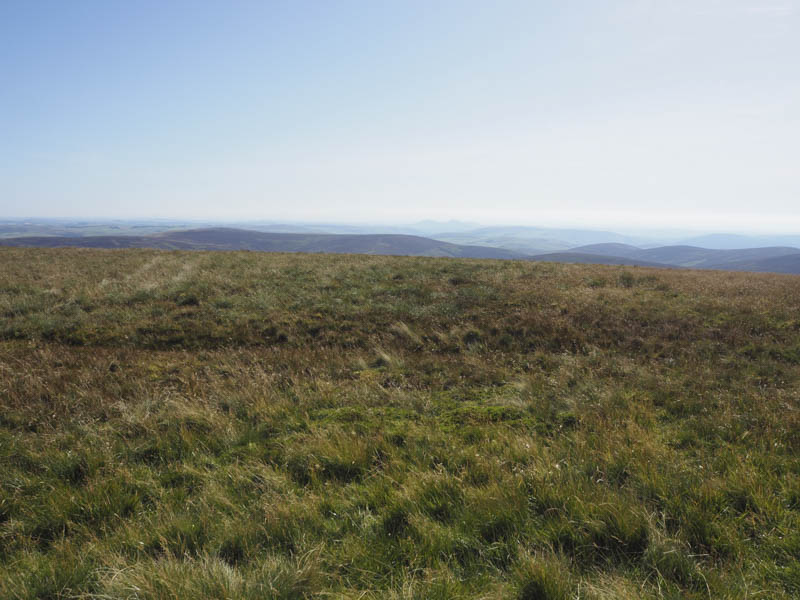
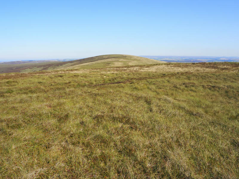
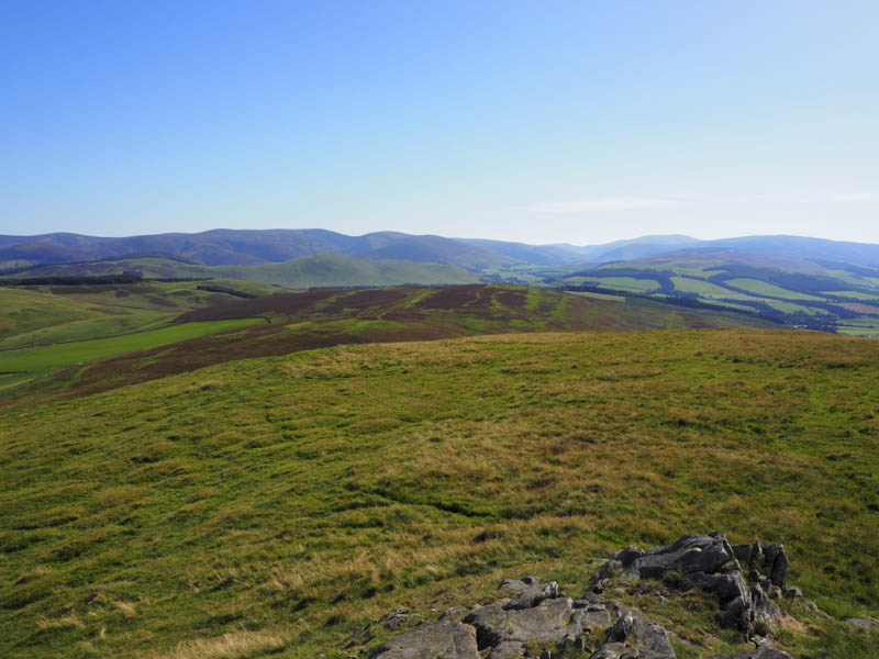
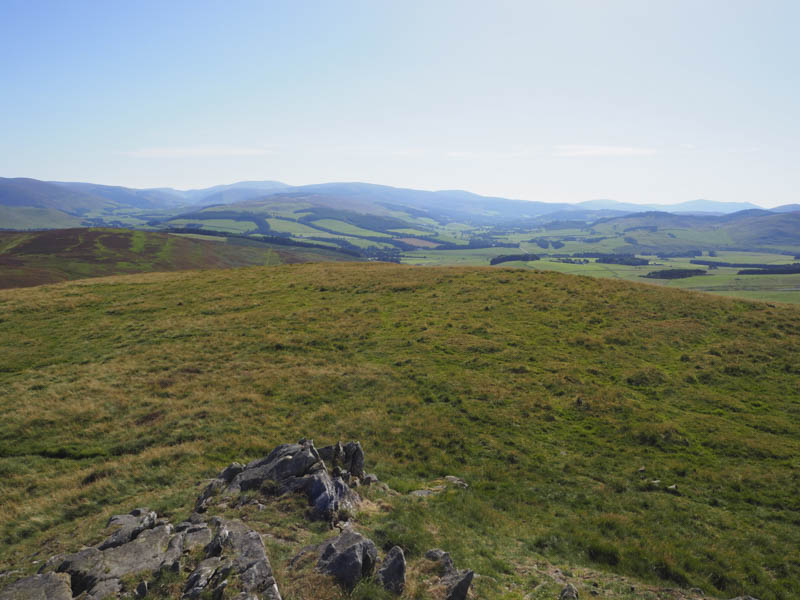
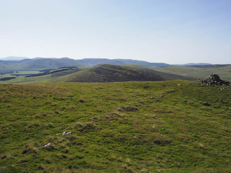
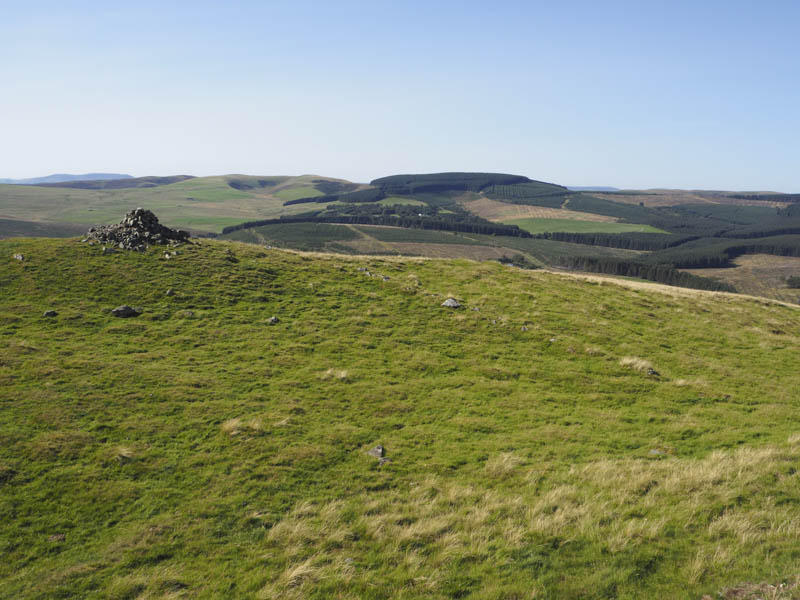
It was warm and sunny so we had an extended break beside the trig point before heading off in a south-westerly direction on a path running alongside a stock fence. The path and fence continued onto the summit of Bareback Knowe (also known as Windlestraw Law South-West Top). The highest point of this Sub Donald was rough grass north of the stock fence.
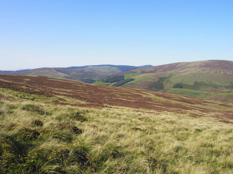
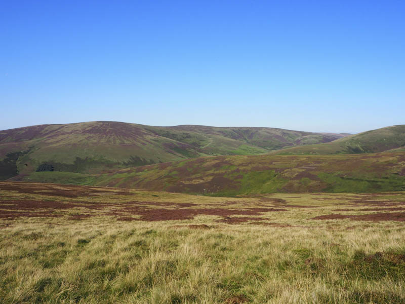
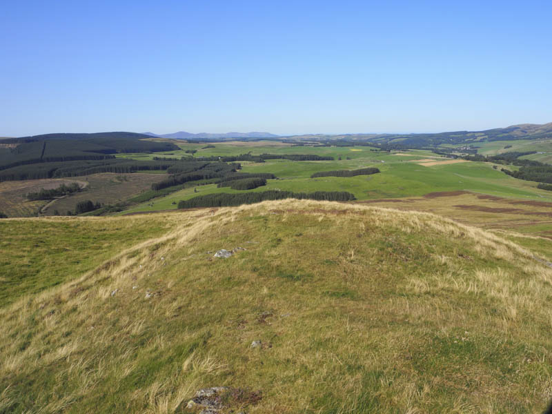
The descent north-west was initially relatively easy across some rough vegetation and along a few animal tracks but lower down prior to reaching the Glentress Burn it was hard work through long rough and at times tussoky vegetation.
Once across the burn a track climbed to the bend in the vehicle track west of Glentress Rig. It was then a short downhill walk back to the car.
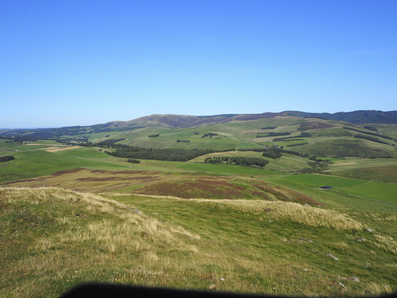
White Meldon – The starting point for this walk was the minor road to the west running between the A72 Peebles to Biggar Road and the A703 Peebles to Edinburgh Road. We left my car on the west side of the road beside the old toilet block, crossed the road and a dilapidated fence, and commenced the ascent of White Meldon.
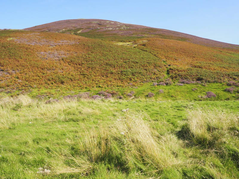
It was a fairly steep climb, there were a few paths to choose from, and led to the summit of this Marilyn. The highest point was a rock near the trig point.
After another extended break enjoying the fine weather the return was by the ascent route.
- Total time taken – 5.5 hours.
- Total distance – 9.5 kilometres.
- Total height climbed – 615 metres.