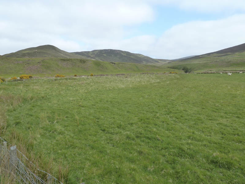
I parked west of the house at Caen in an extended passing place on the A897 Helmsdale to Kinbrace Road in the Strath of Kildonnan. I then walked west along this road crossing the Caen Burn noting that I could have left my car beside the bridge.
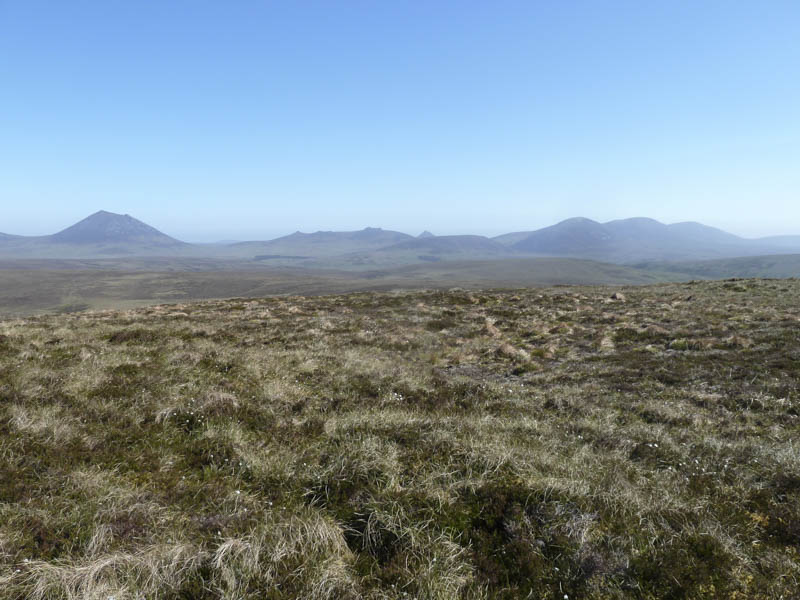
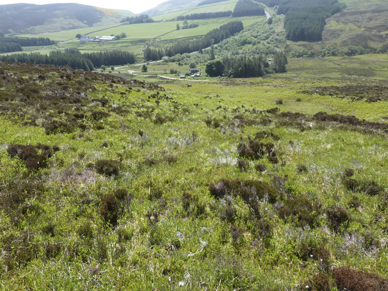
Once beyond the gate in a stock fence I climbed north-west through a mixture of short cropped heather and soft tussocky vegetation, following a fence then some old fence posts, onto Solus Craggie.
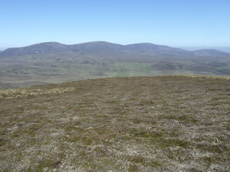
From there I walked north then a short descent led to the col with Cnoc na Maoile.
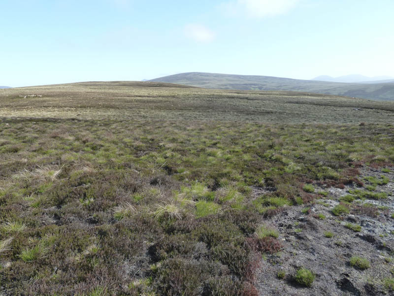
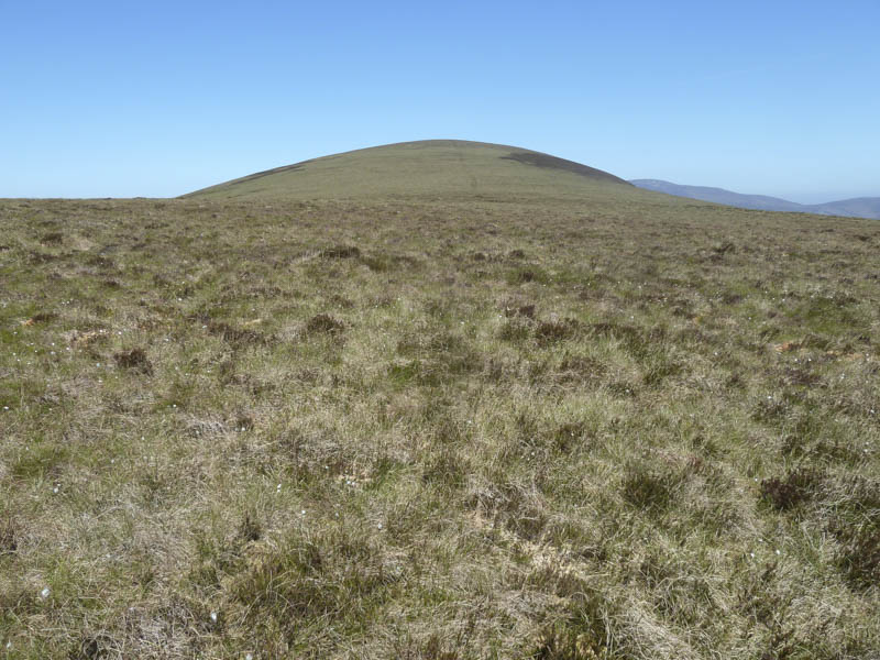
I thereafter climbed through heather of varying lengths to reach Cnoc na Moile’s wide summit area where after a bit of searching I located a couple of stones which apparently marked the highest point of this Marilyn.
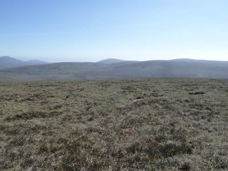
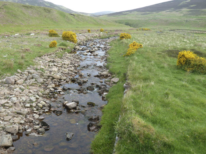
I took a break here before descending south-east crossing the Allt an Dir just before it merged with the Caen Burn. I then followed animal trails and an old vehicle track down the west side of the Caen Burn and returned to the A897.
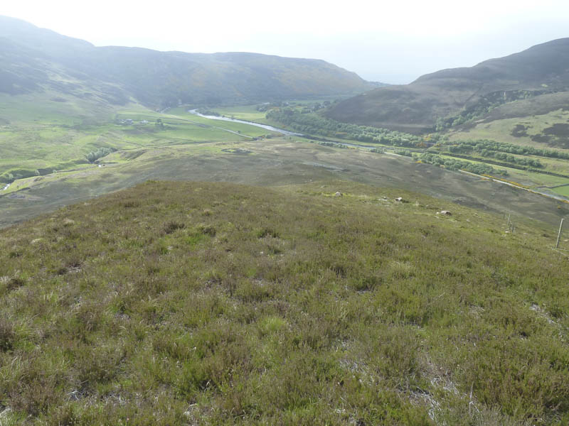
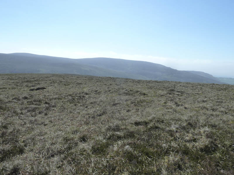
I then returned to Helmsdale and drove north on the A9 to Ousdale, north of the Ord of Caithness, and parked on an old section of the A9. I then headed to a locked gate in a deer fence and once over it briefly walked along the vehicle track before leaving it and taking to the open hillside.
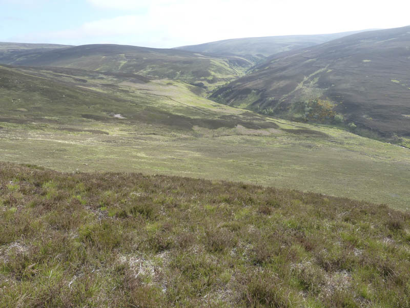
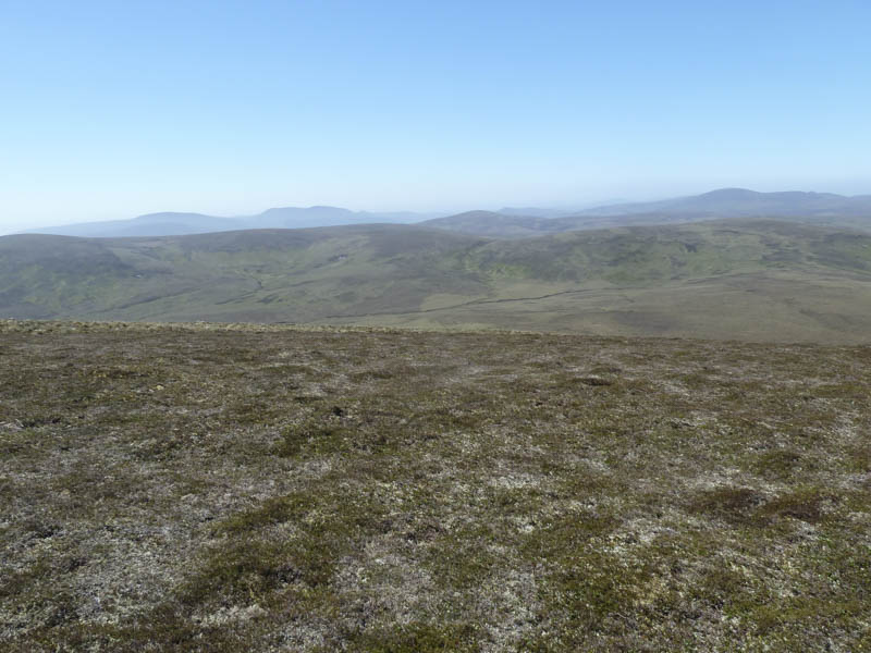
I climbed through a mixture of heather and grasses to an old fence and beyond it tussocky ground before reaching the cairn marking the summit of the Marilyn, Braigh na h-Eaglaise.
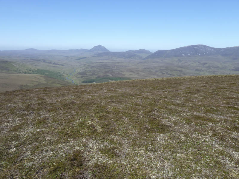
After a break here I returned by the ascent route.
- Total time – 5 hours.
- Total distance – 13.5 kilometres.
- Total height climbed – 695 metres.