Biod an Athair: I left my car at the end of the single track road in Galtrigill, accessed from the B884 Dunvegan to Glendale Road at Colbost. I walked west through an open gate and along a vehicle track which led to a closed stock gate. Beyond it, I continued along the track which had been churned up by the cattle that roamed the area although they paid me little attention.
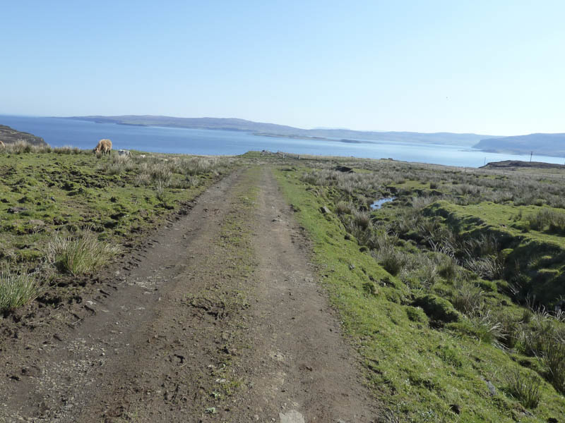
There was then another open gate before the vehicle track was later replaced by a muddy path.
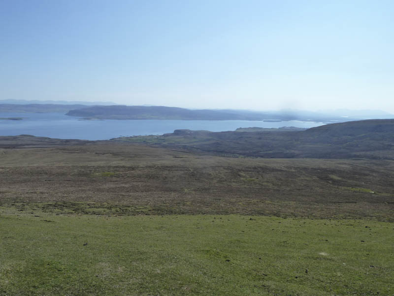
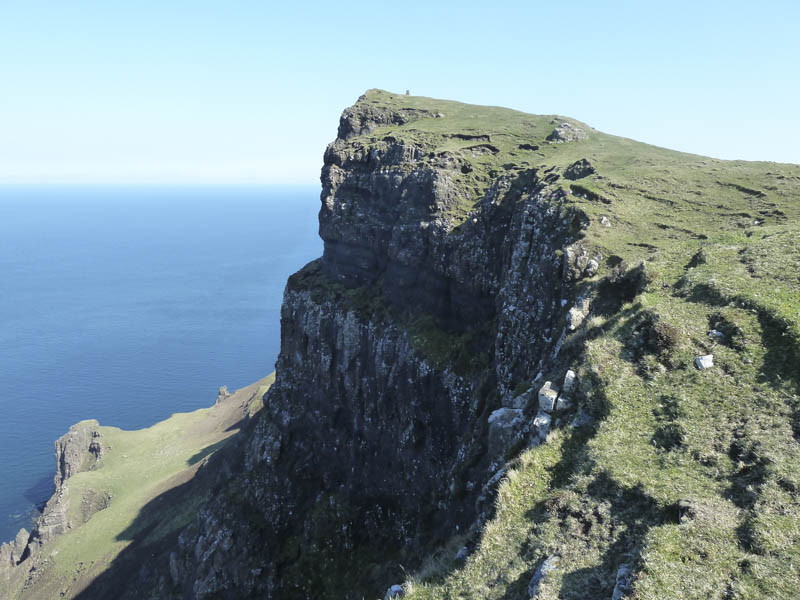
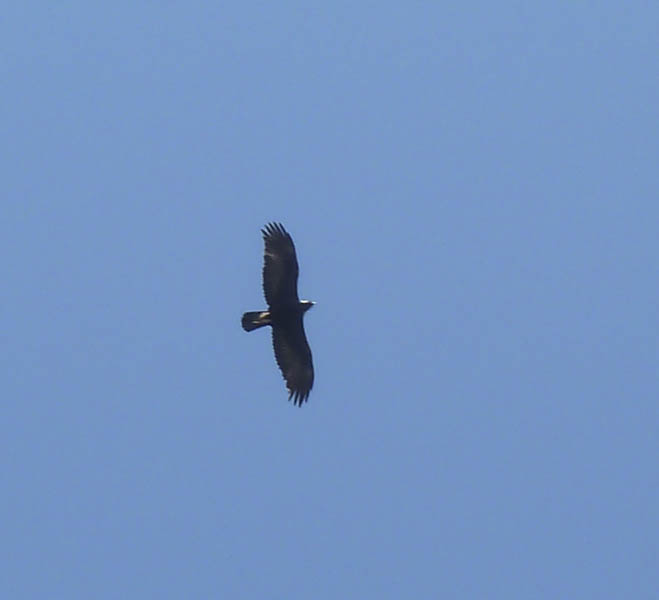
Underfoot conditions improved as I reached a mixture of grasses and heather although there was an area of wet ground to cross before I came to a barbed wire fence. From there I ascended Biod an Athair as an eagle flew back and forth above me.
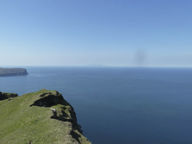
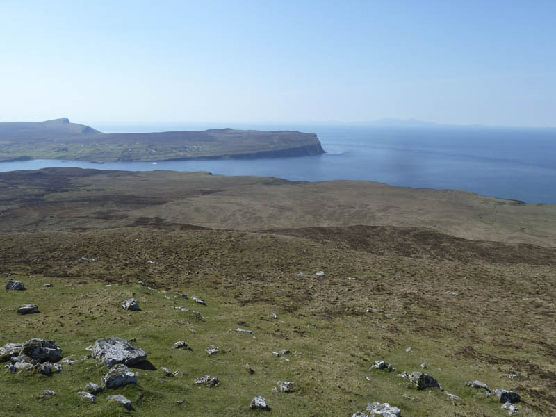
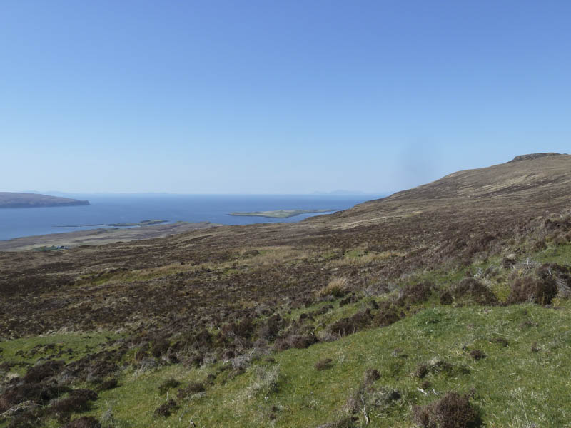
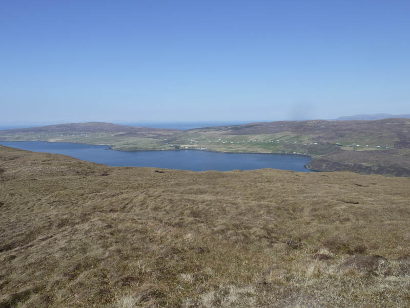
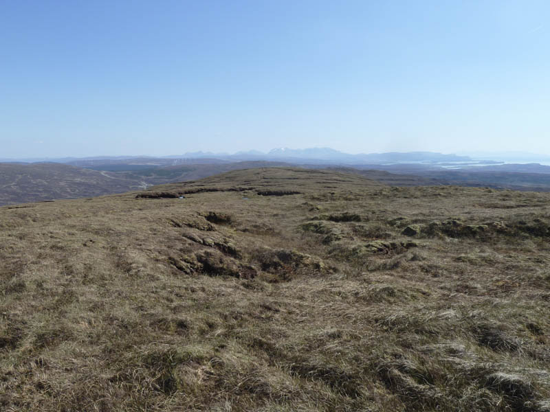
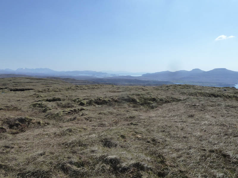
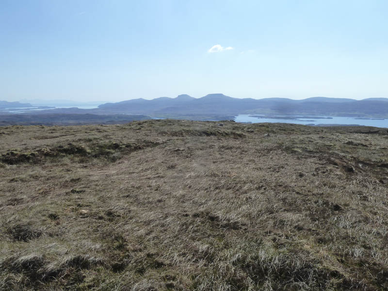
The trig point was reached but the highest point of this Marilyn was a rock at the cliff edge before a sheer drop of around 300 metres into the sea.
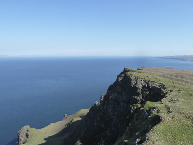
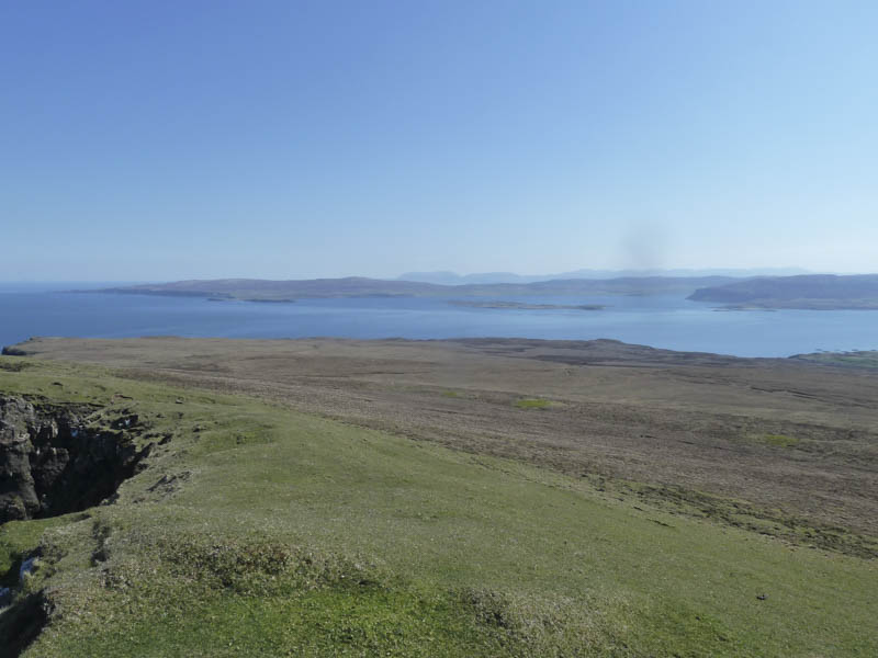
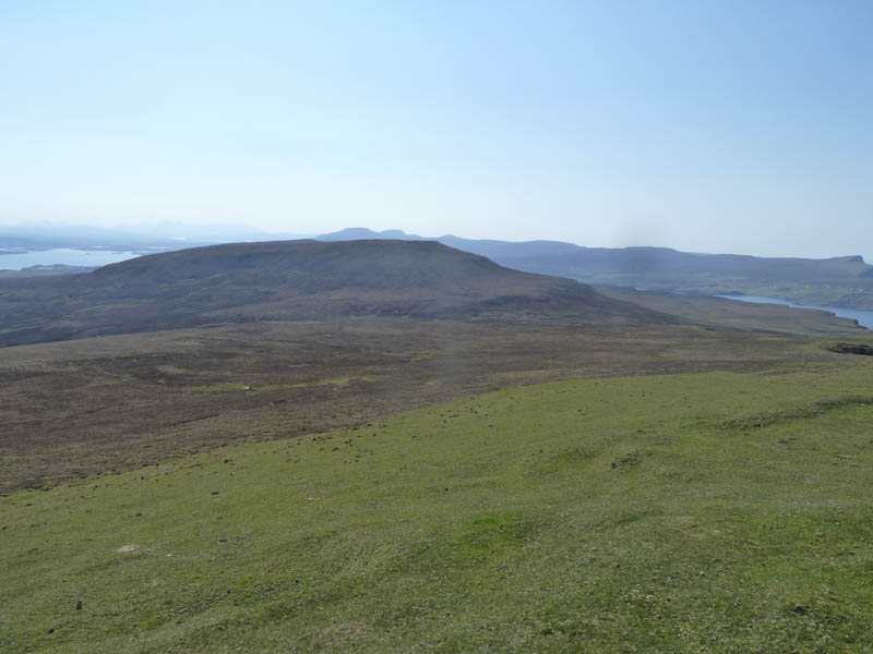
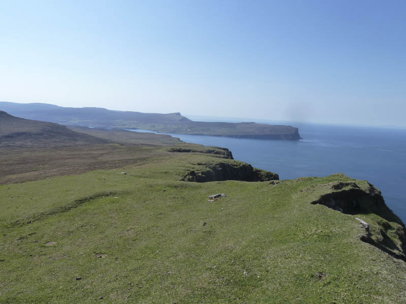
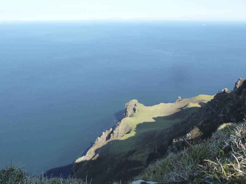
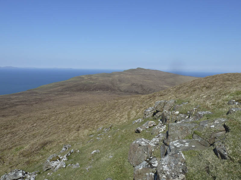
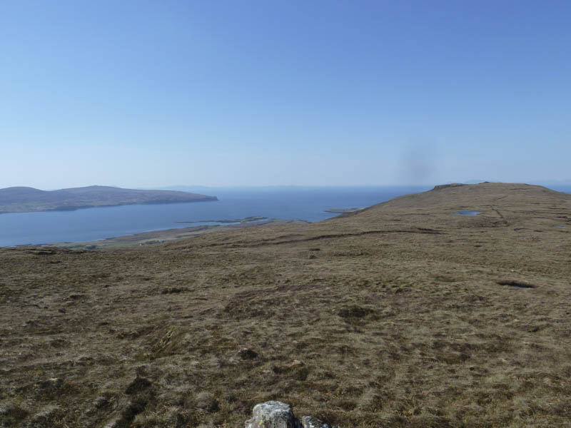
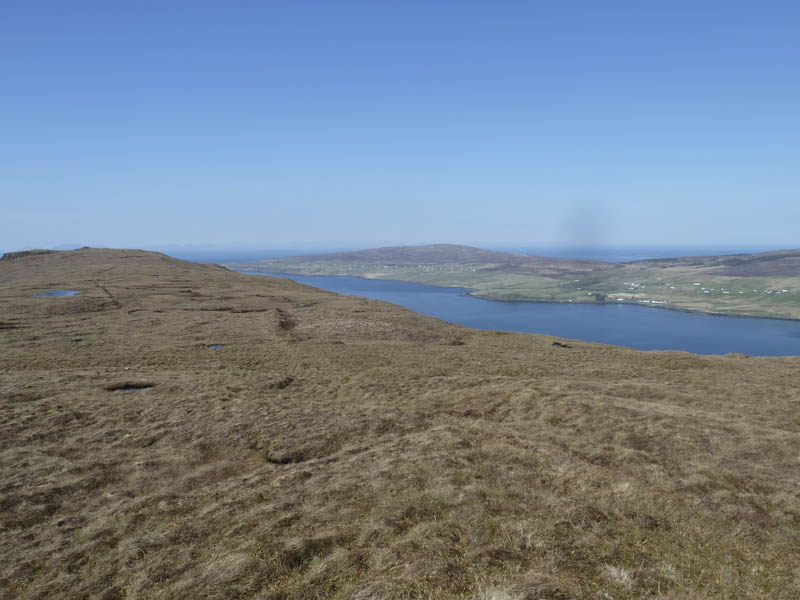
I sat here for a while before walking south along the cliff edge then across wet ground to reach the col with Ben Skriaig.
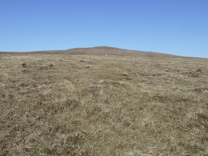
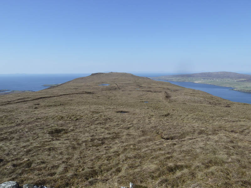
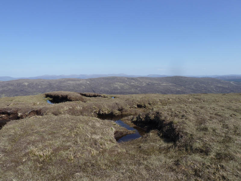
The ascent of this Hump involved crossing some rough vegetation and peat hags and on reaching the summit I wandered about a bit as I couldn’t tell where the highest point was.
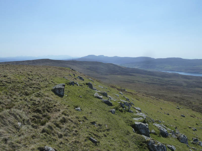
From there the descent east then later north-east took me through heather and across a couple of stock fences. The vehicle track used earlier in the morning was reached but there was no sign of the cattle as I returned to my car.
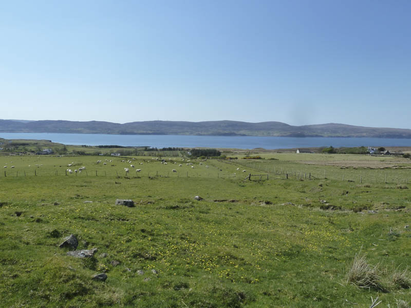
Beinn Bhreac: It was a warm sunny day as I drove north from Dunvegan on the Isle of Skye, along the single track road, to the car park at the hamlet of Claigan, to discover it was overflowing with vehicles, the occupants visiting the nearby Coral Beaches. I did manage to get a space once a vehicle and its occupants departed.
I left the car park and walked a short distance west along the tarred road to a locked gate.
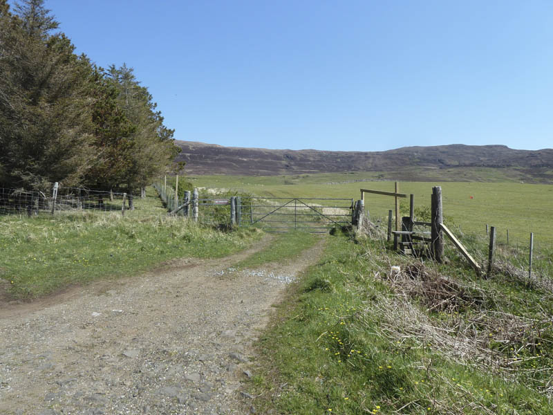
Once across the nearby stile I continued west on a vehicle track to a second stock gate before entering a field containing sheep and lambs.
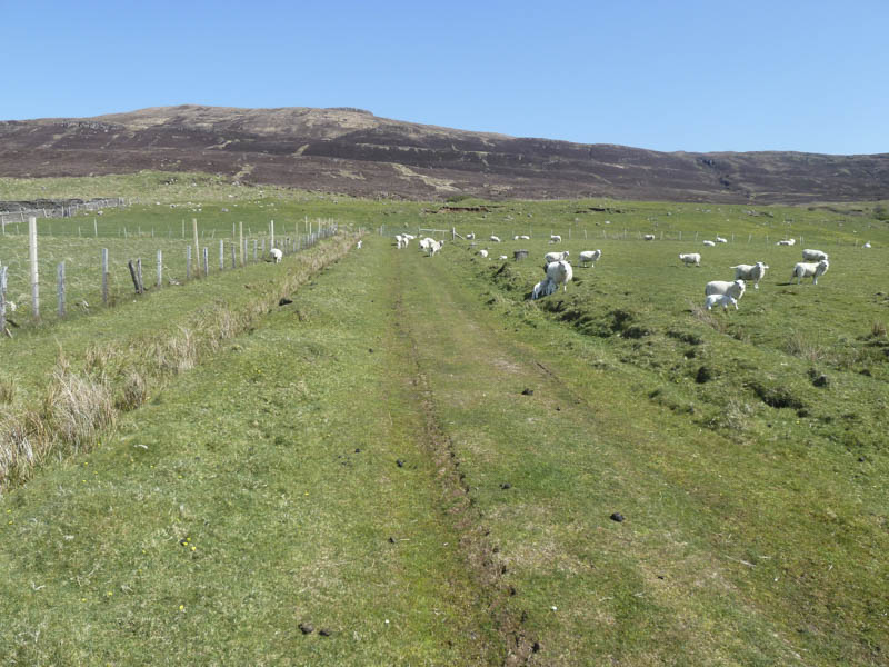
Once through this field and a third gate the track headed south-east gradually gaining height before reaching a fourth gate then the open hillside.
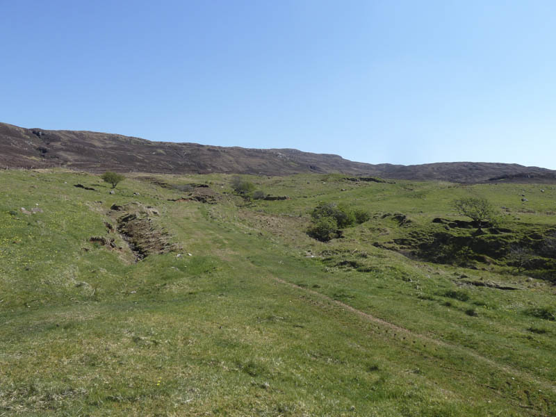
After the zigzags in the track I left it and climbed through some rough and long vegetation onto Beinn Bhreac’s North-West Ridge.
The underfoot conditions were still rather rough with an area of peat hags to cross before reaching the summit area. The highest point of this Marilyn appeared to be a small cairn perched on top of a peat hag but apparently it was 8 metres to the south-east, an area I also visited.
I then descended west to rejoin the track south of where I had left it and returned to the car park by the approach route.
- Total time taken – 5.25 hours.
- Total distance – 12.25 kilometres.
- Total height climbed – 705 metres.