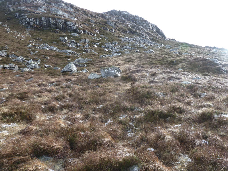
I parked on the north side of the B8007 Salen to Glenborrodale Road in Ardnamurchan, at Laga, immediately west of the Allt Mor. I walked east along the B8007 to beyond the Allt nam Mearlach (Laga Burn) and followed animal trails to and along the south and east sides of a deer fence. I later left this fence, and still using animal trails climbed north-east. These trails later disappeared as I headed east through steeper heathery ground.
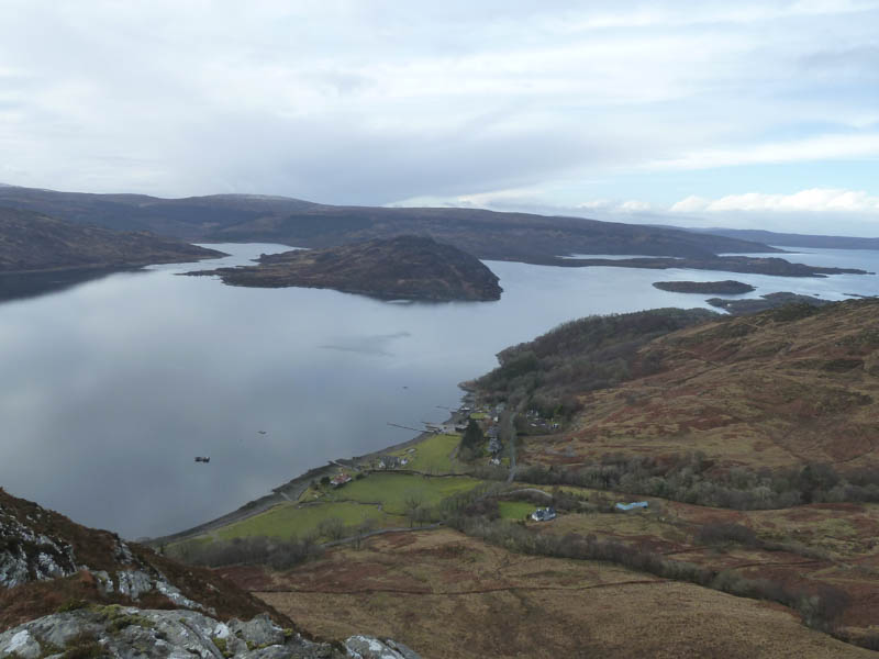
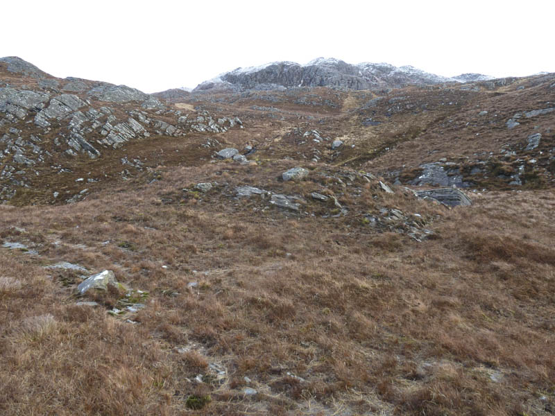
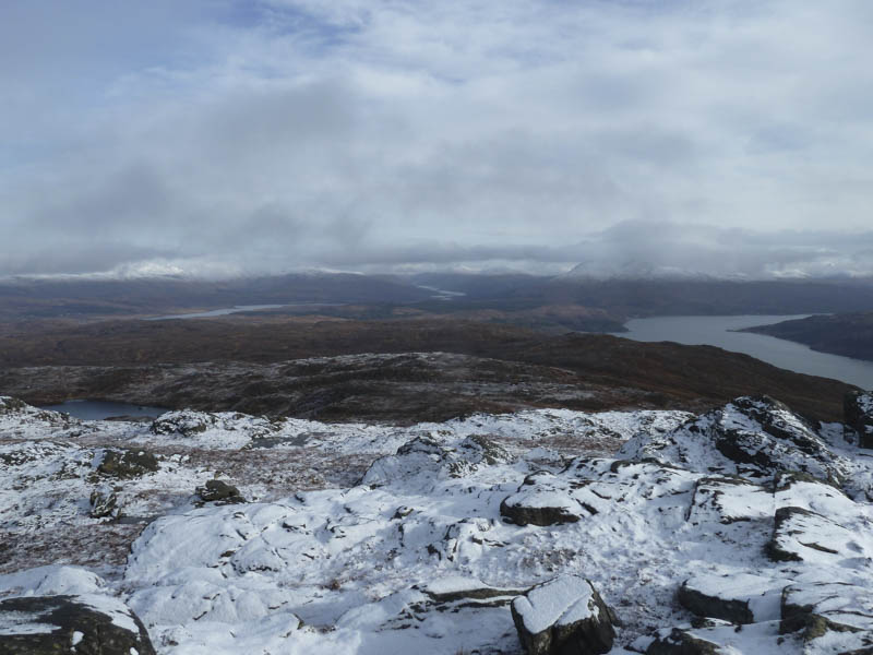
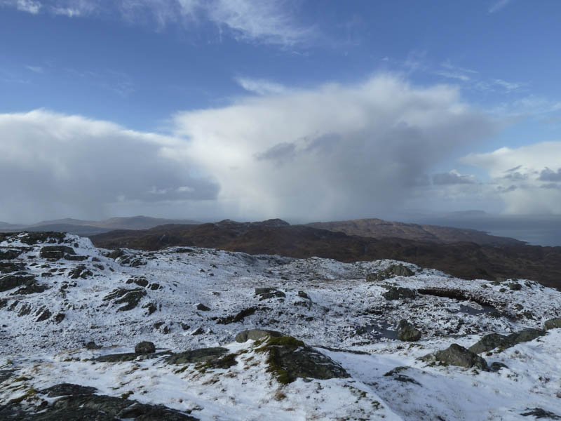
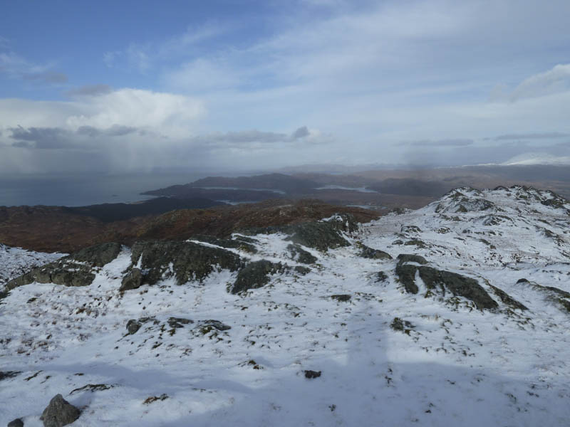
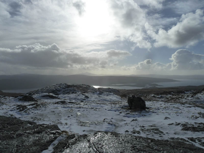
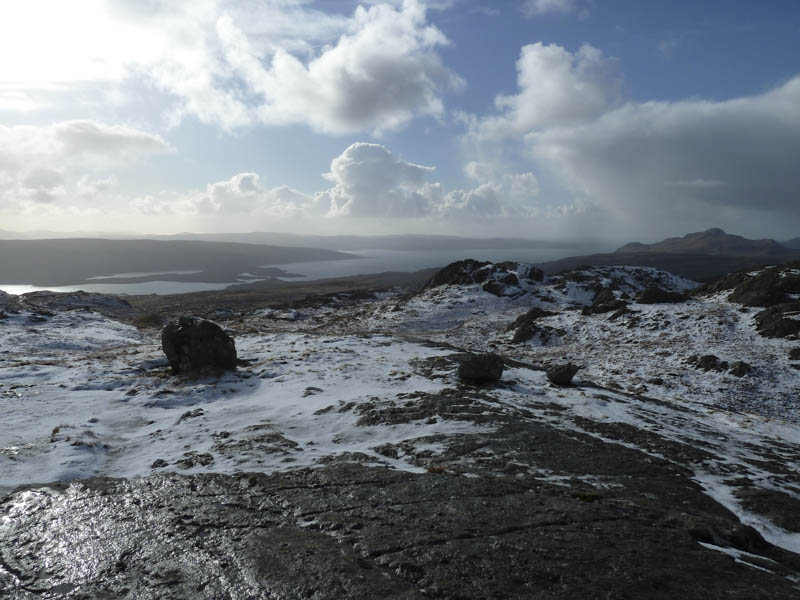
Higher up the gradient eased and there was a light covering of snow as well as some knolls and a few gullies which I tried to avoid. Ben Laga’s westerly cairn was reached but the highest point of this Marilyn was the cairn further east, across some slippery rock and snow. Here there were views of Lochs Sunart and Shiel.
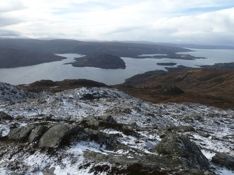
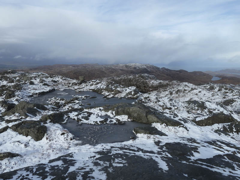
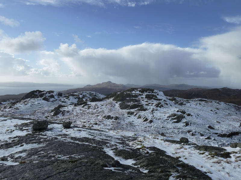
I sat at the summit for a while but the cloud began to build over the Atlantic so I re-traced my steps back to the westerly cairn then descended north-west through some rocky terrain as a snow shower arrived. It didn’t last long although it did make finding a route off the hill via a small gully a bit tricky.
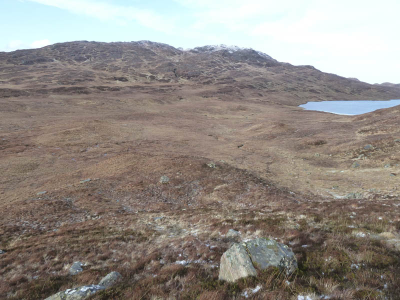
Once back on lower but rather wet ground I crossed to the path that came up from Laga and followed it until it joined the track from Glenborrodale. I briefly walked west along this track before heading up the edge of a stream onto Meall nan Each. I worked my way round the south and west sides of the snow covered summit area before reaching the cairn marking the highest point of this Marilyn.
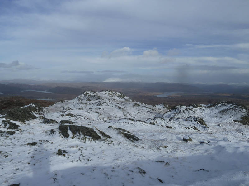
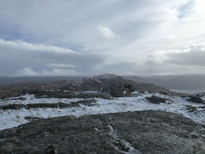
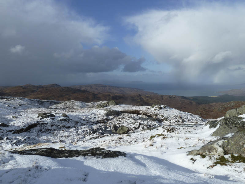
After another break here looking across to Loch Moidart I took a more direct line to the stream then retraced my route back to the path junction. I then walked south on the Laga path which was rather wet. Lower down the path continued through the fenced off area of the Laga Nature Woodland then emerged onto the B8007 just east of the Allt Mor.
- Time taken – 5 hours.
- Distance – 9 kilometres.
- Height climbed – 735 metres.