Ben Klibreck, Creag and Lochain and Cnoc Sgriodain: It was a misty drive north along the A836 Lairg to Altnaharra Road but by the time I reached the Crask Inn the sun was out. On approaching Strath Vagastie, south of Altnaharra, I left my car at the edge of a passing place on the south side of the bridge over the Allt a’ Chraisg.
On the opposite side of the road a wet and boggy track was the starting point for the ascent of Ben Klibreck. This track crossed the moorland passing through a stock gate. The gradient increased but the path didn’t improve until I gained a bit more height as I ascended Cnoc Sgriodain and its vegetation of short heather. On reaching the summit of this Tump there were two cairns, the second one was obviously the highest.
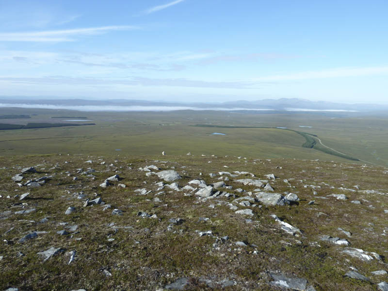
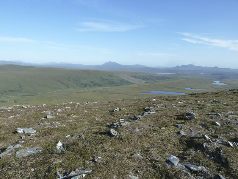
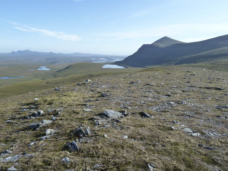
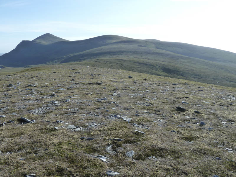
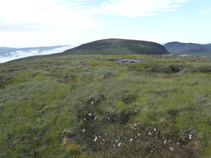
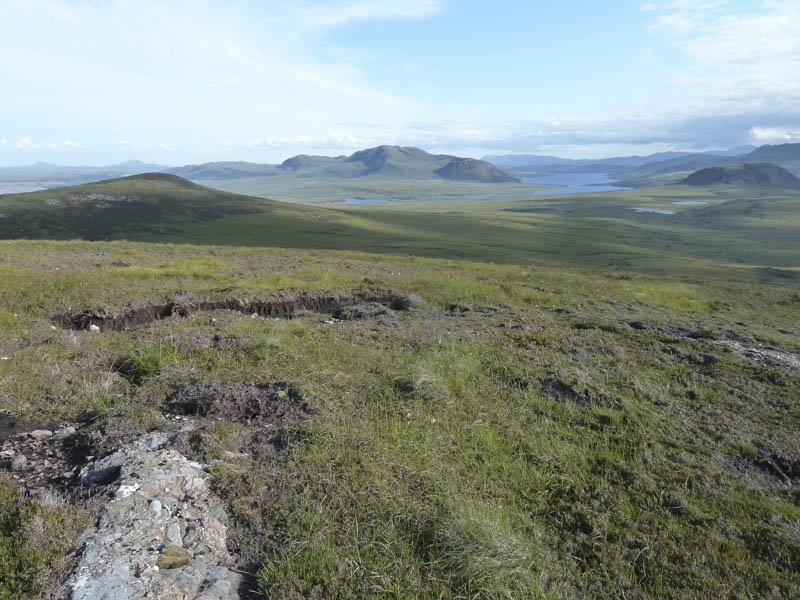
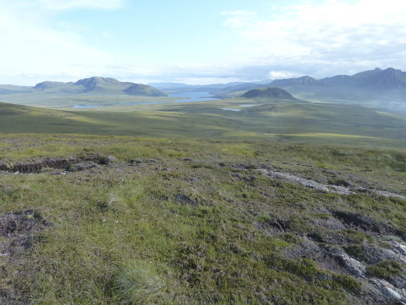
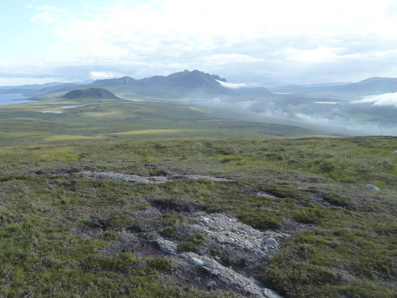
The descent north-east led to an area of bog and peat hags then I walked east towards Creag an Lochain. Here I came across a ewe stuck on its back so I assisted her back onto her feet. On reaching the col with Creag an Lochain I made a detour to ascent its South Top, a Sub Simm, with views across to Meall nan Con, the highest point on Ben Klibreck, and to the east, Loch Choire and Ben Armine.
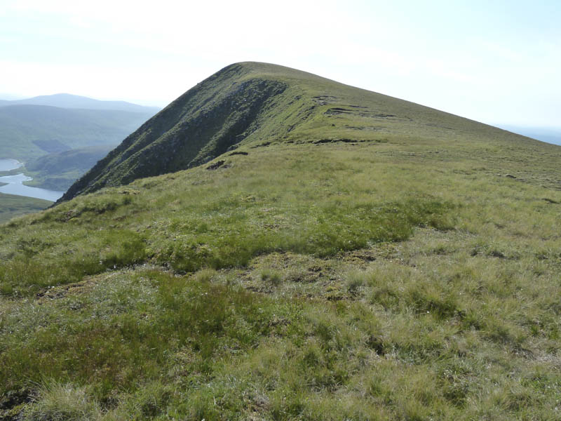
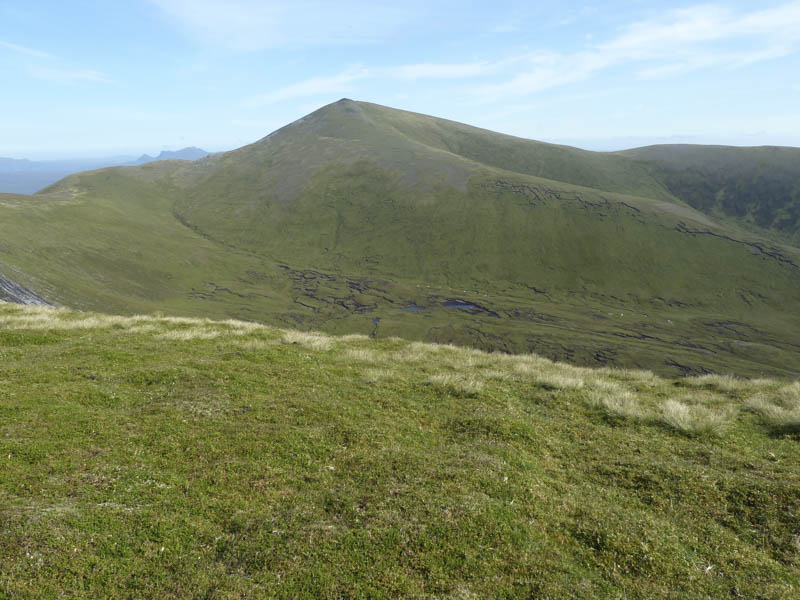
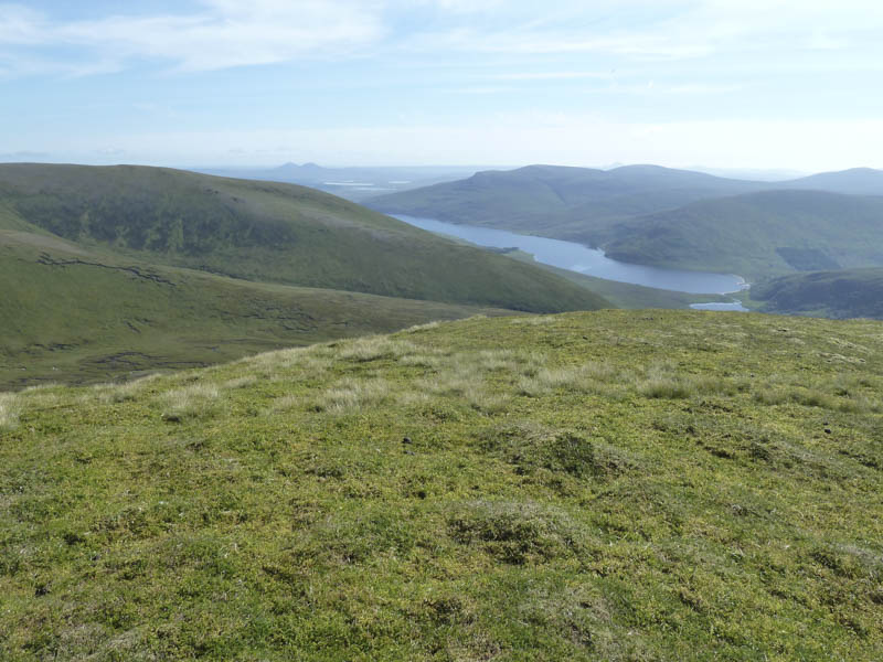
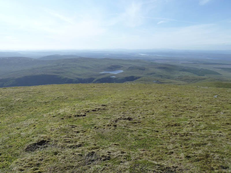
I returned to the col and climbed the Hump and Corbett Top, Creag an Lochain, before descending north then headed along the path to A’Chioch.
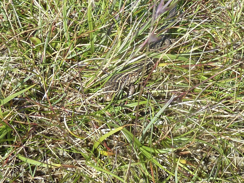
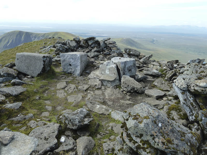
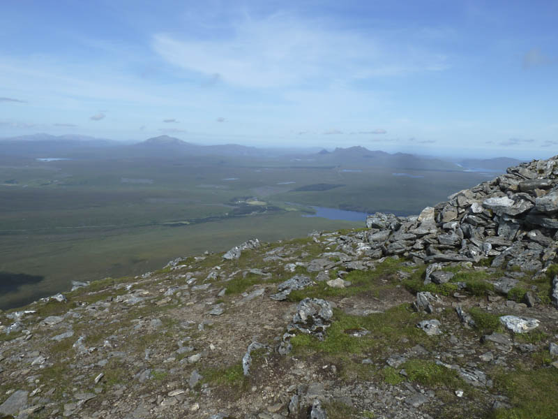
From there I made the final approach to Meall nan Con through some rocks then a zigzag stony path and more boulders to reach the shelter containing two shattered trig points. The actual highest point of Ben Klibreck was a nearby rock. I took a break here with some fantastic views and watching a large herd of deer feeding and resting in Na Glas-coire.
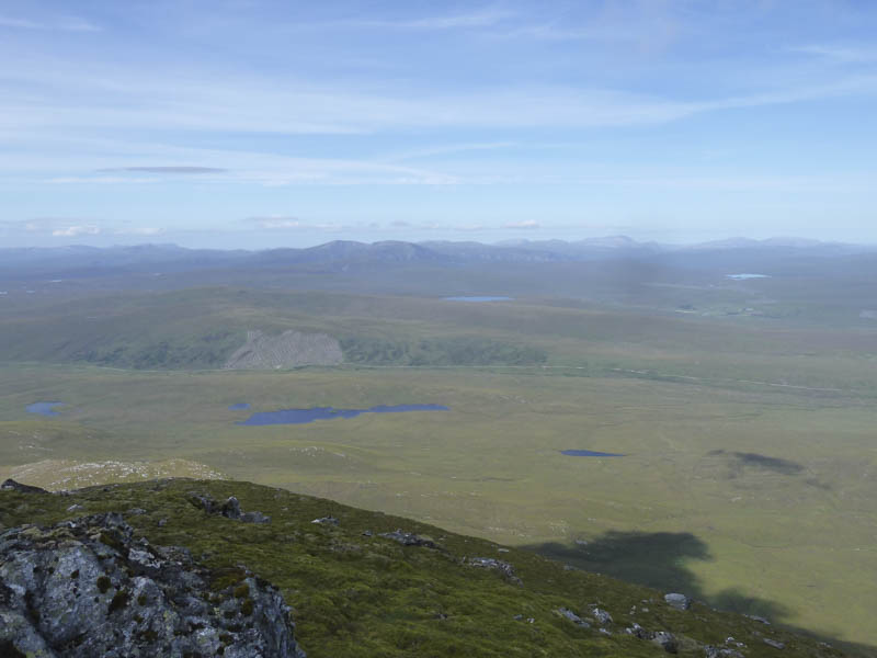
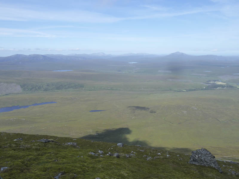
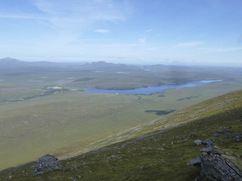
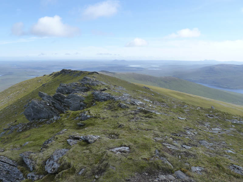
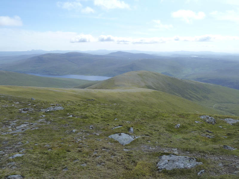
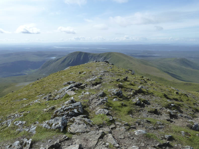
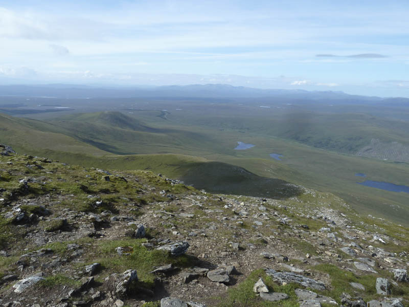
The return was by the ascent route although I took the by-pass path to the west of Creag an Lochain.
Meall nan Clach Ruadha and Beinn Bhreac: After the ascent of the Munro, Ben Klibreck I continued the drive north on the A836 to south-east of Tongue, parking at the junction with the minor road leading into the village, a viewpoint across the Kyle of Tongue.
I crossed the main road and some vegetation to reach the tied down gate in a stock fence just to the north of a communications tower. I stepped over the adjoining fence heading directly for the Marilyn, Meall nan Clach Ruadha.
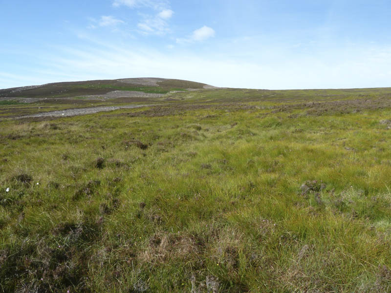
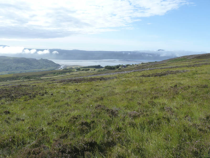
On reaching the summit cairn I had good views south to Loch Loyal and Ben Loyal. The haar (low cloud) to the north was closing in.
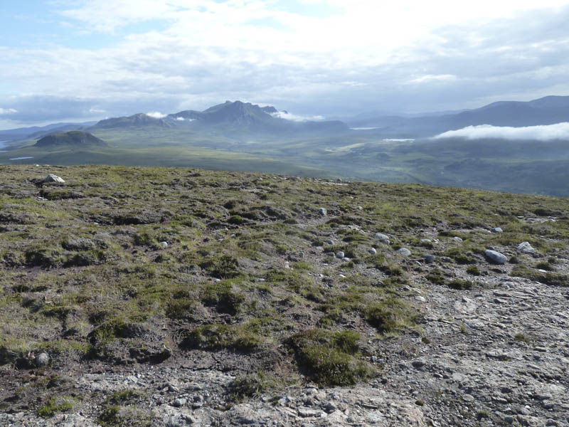
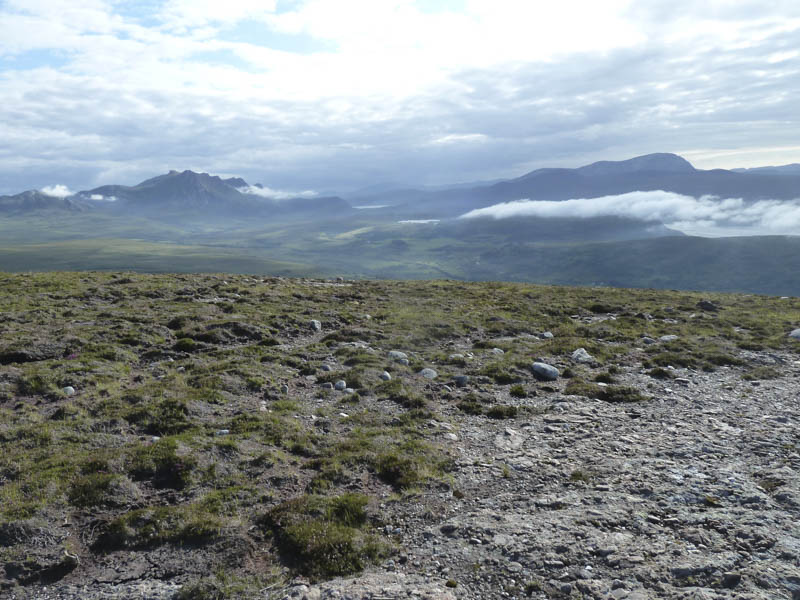
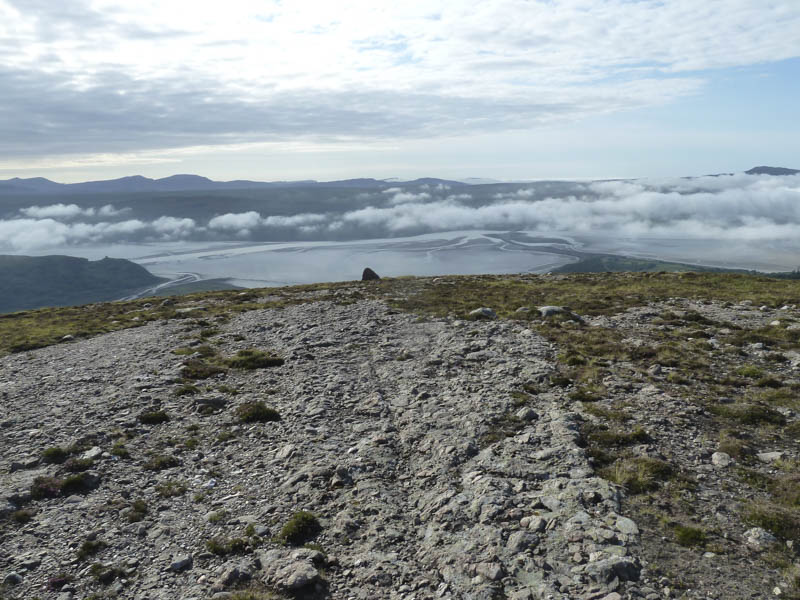
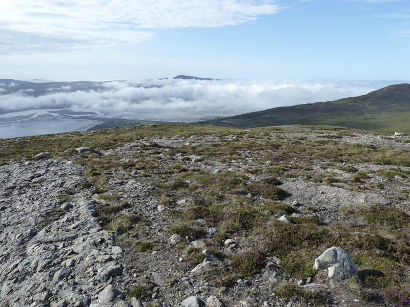
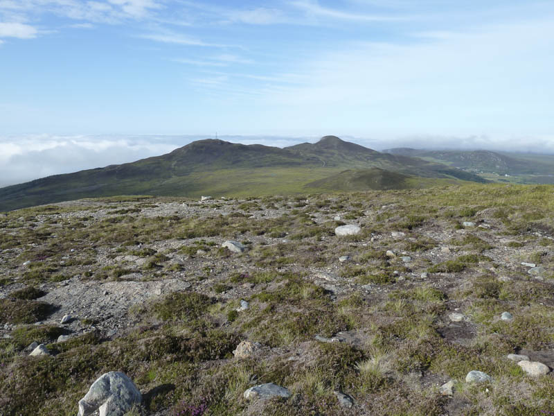
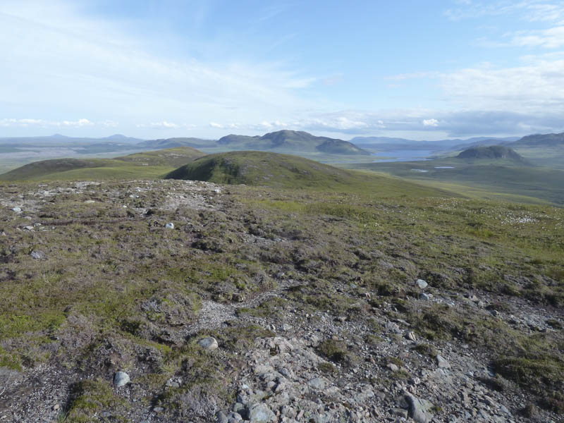
The descent south took me to the col with the Tump, Beinn Bhreac, which I climbed before returning towards the communications tower. En-route I was met by the crofter who advised me that a helicopter was due that evening to spray the bracken so he was putting up notices at the access points.
- Total time taken – 7.75 hours.
- Total distance – 19.25 kilometres.
- Total height climbed – 1370 metres.