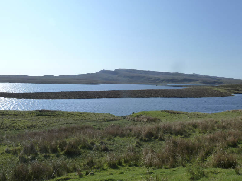
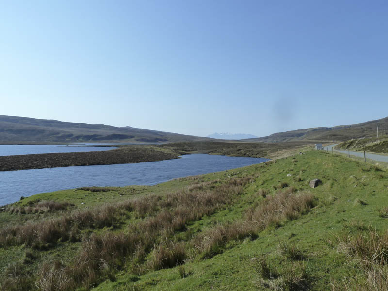
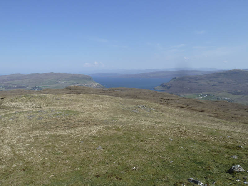
Ben Dearg: It was another sunny day on the Isle of Skye as I drove north from Portree along the A855 Staffin Road to a lay-by west of Loch Leathan where I left my vehicle.
I walked south on the A855 to a gate in the stock fence followed by a short steep climb of an embankment to an open gate. The ground here was rather muddy having been churned up by cattle which roamed the fields.
An area of wet and boggy ground was crossed where excavations had taken place on the hillside possibly for pipe work or something similar.
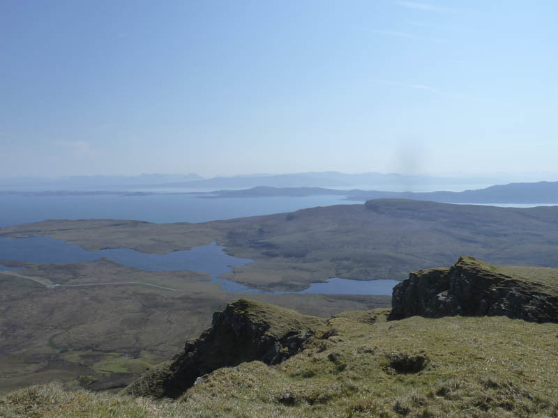
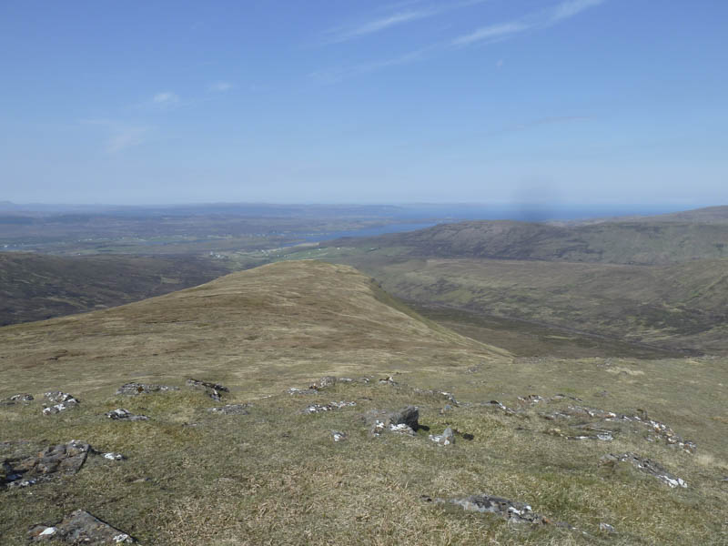
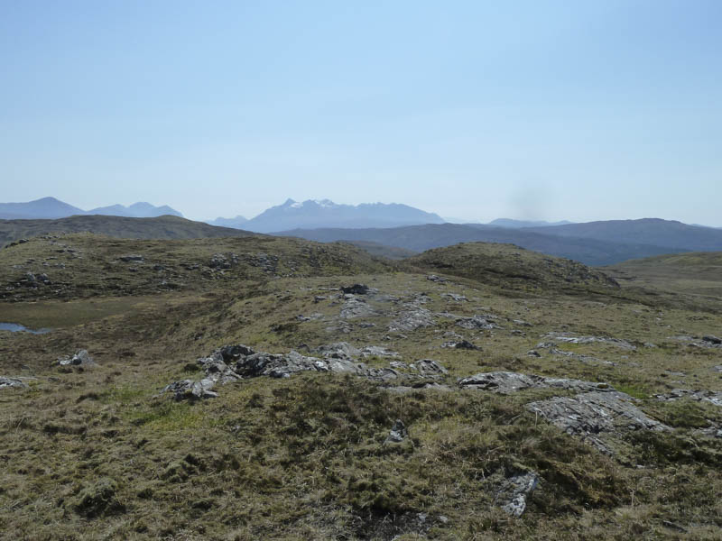
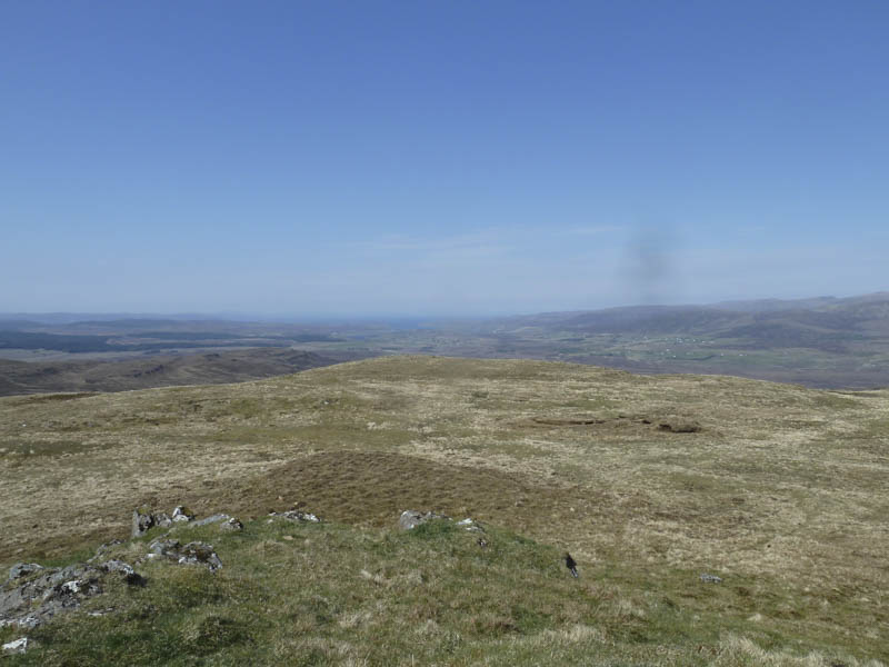
Further west the ground was drier as I worked my way across some mixed vegetation and boulders. Higher up there were a few dips and knolls as I ascended an animal trail to the Bealach Mor.
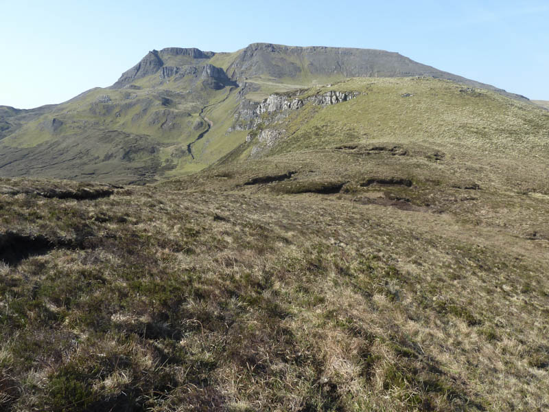
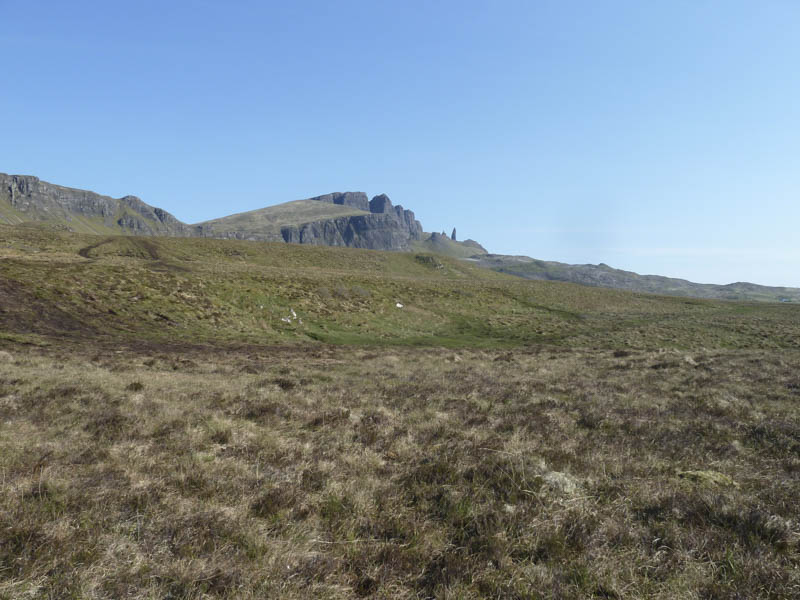
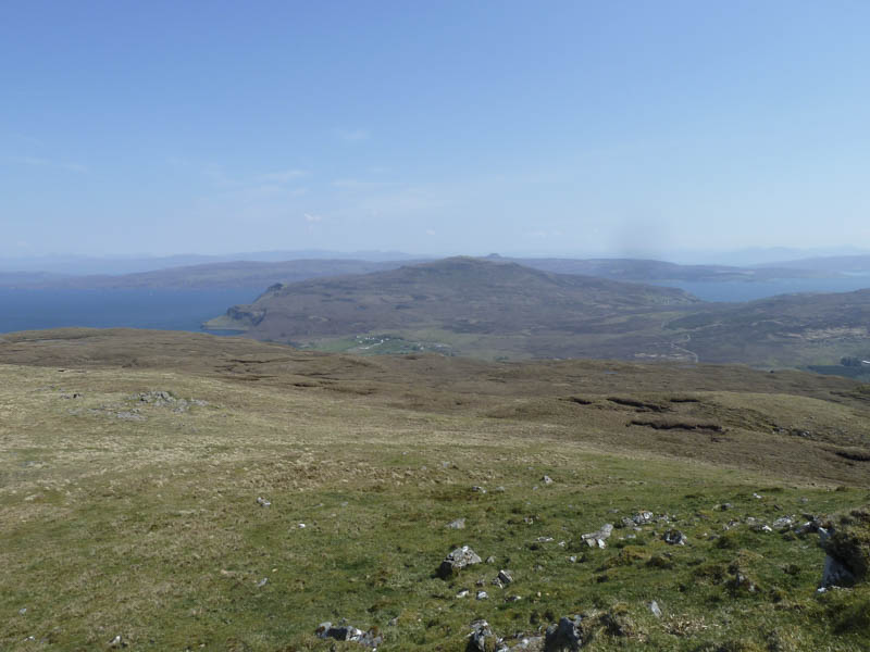
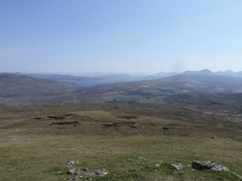
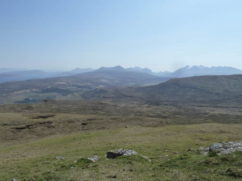
An old fence was followed south-west above the cliff edge, with some rusting wire lying around, to below the north face of Ben Dearg. It was then a steep climb on vegetation, scree and some rock, the final section being a bit tricky, to gain the cairn marking the summit of this Marilyn. I took a break on a promontory to the south-east.
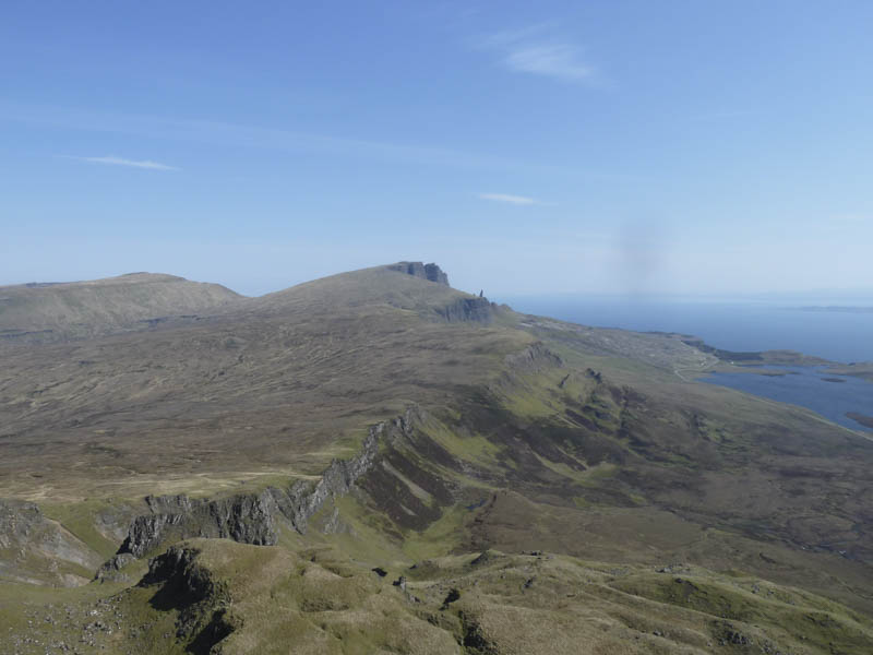
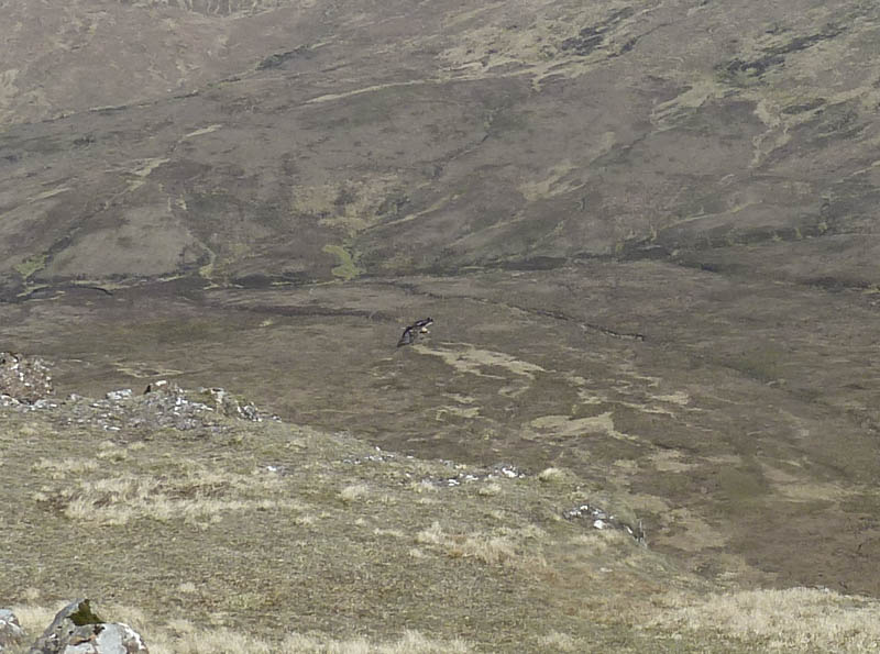
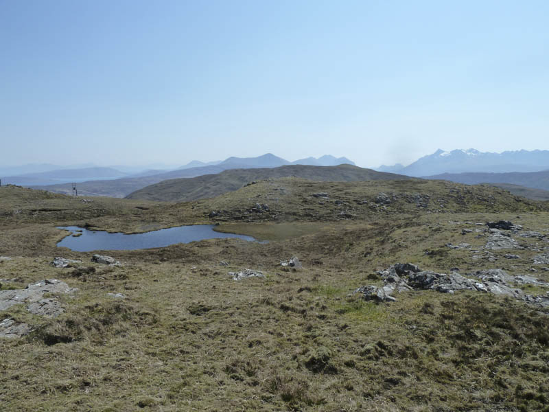
I descended north-west, disturbing an eagle which must have been resting on a rock, then cut back below Ben Dearg’s North Face to reach the Bealach Mor before returning to the start by the approach route.
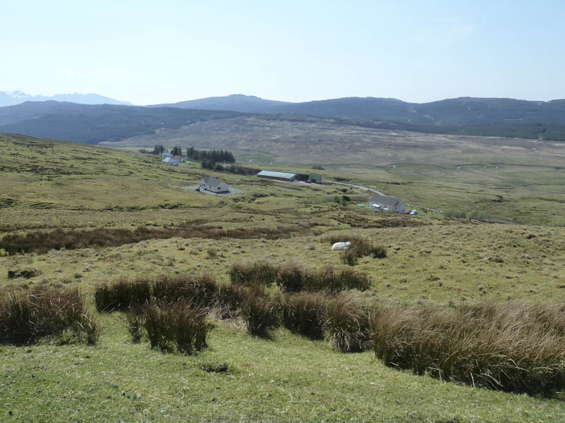
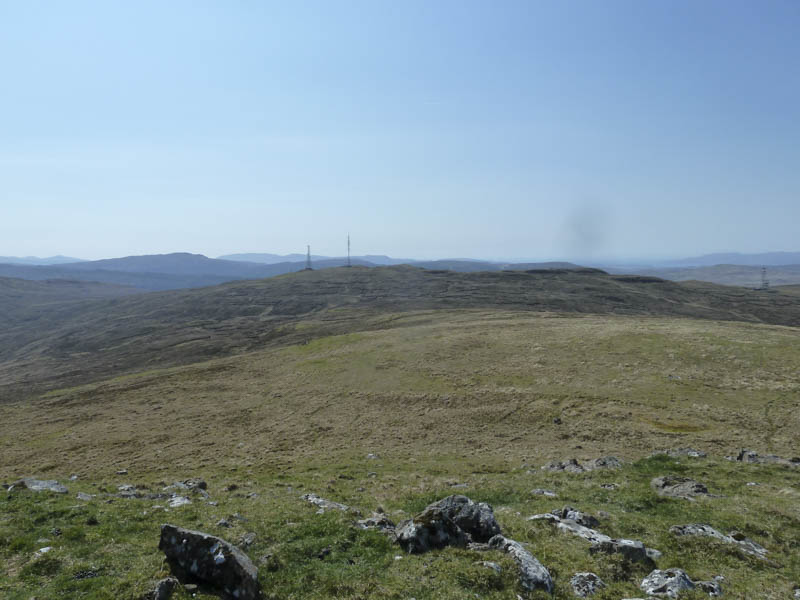
Beinn na Greine: I then drove to Glen More, accessed from the B885 Portree to Bracadale Road at Glengrasco, parking beside the locked gate at the start of the vehicle track leading to communication towers.
I walked east up this tarred road to a ‘T’ junction where I took a right.
The gradient increased and before reaching the south communications tower I left the road and made the short ascent to the summit of the Tump, Skriaig, where the cairn appeared to be the highest point.
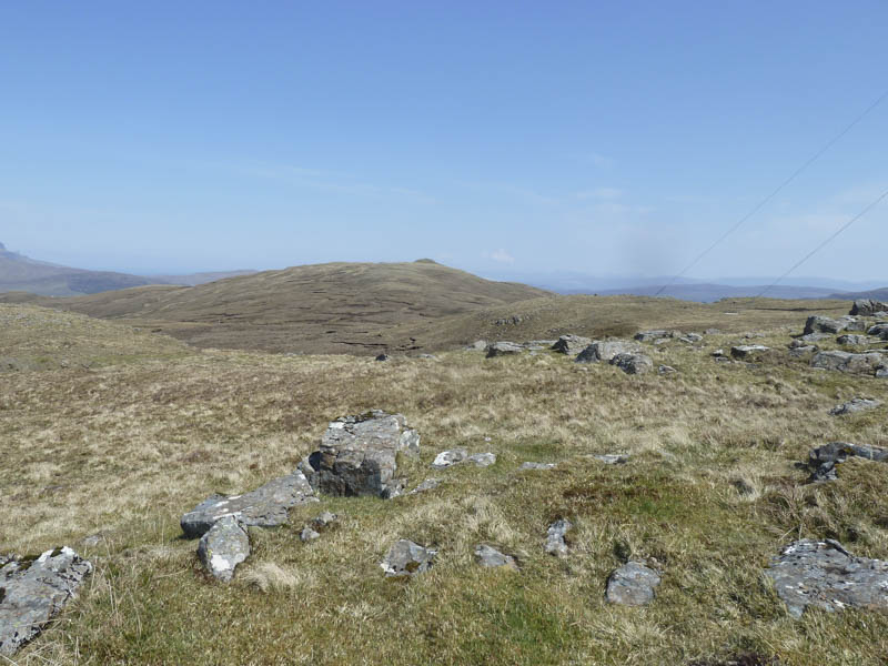
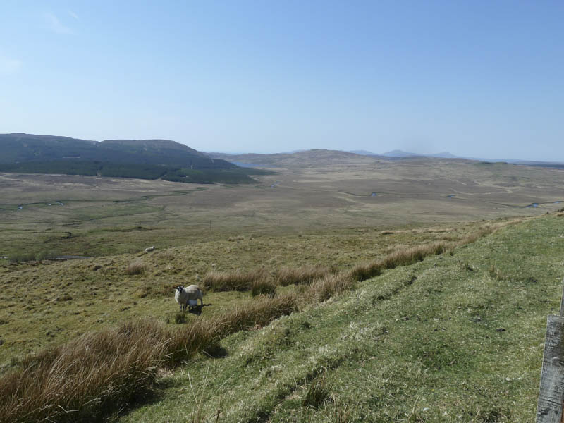
On returning to the road I crossed it and descended to the col with the Marilyn, Beinn na Greine, where the ground consisted of peat hags and bog.

Once beyond these obstacles I climbed this Marilyn, the final section across grassy vegetation and a few rocks. The summit trig point was located within a circular cairn.
After a break sheltering from the breeze I returned to the col then crossed more bog and peat hags to reach the north communications tower. I then descended via the tarred road to the ‘T’ junction and the starting point.
- Total time taken – 5.25 hours
- Total distance – 13 kilometres.
- Total height climbed – 715 metres.