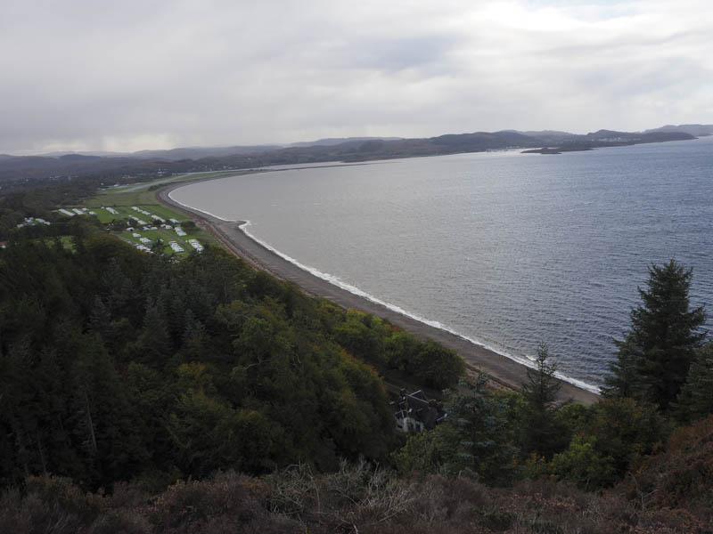
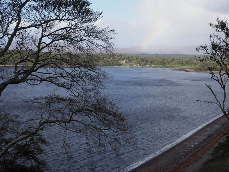
Beinn Lora – I left my car in the Forestry Commission car park on the east side of the A828 Ballachulish to Connel Road at Benderloch, and headed uphill on marked, zigzag paths, which included a short section of forestry track.

Higher up the path emerged from the trees at a pedestrian gate and descended to a wet and boggy area. A number of short diversions were required to avoid the worst of these conditions followed by a steepish climb to the trig point marking the summit of the Marilyn, Beinn Lora.
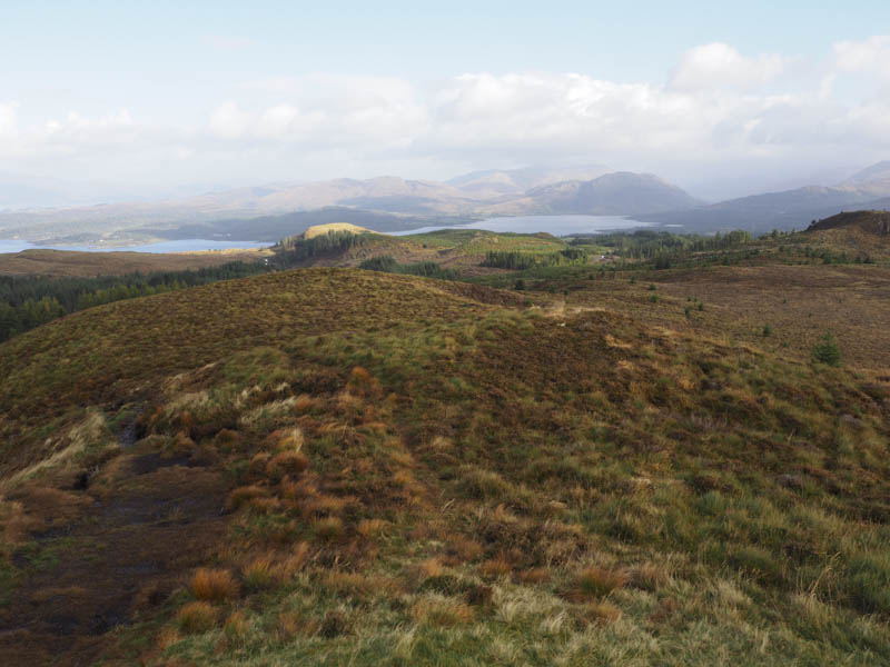
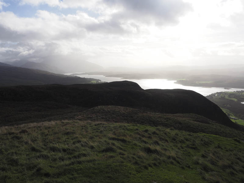
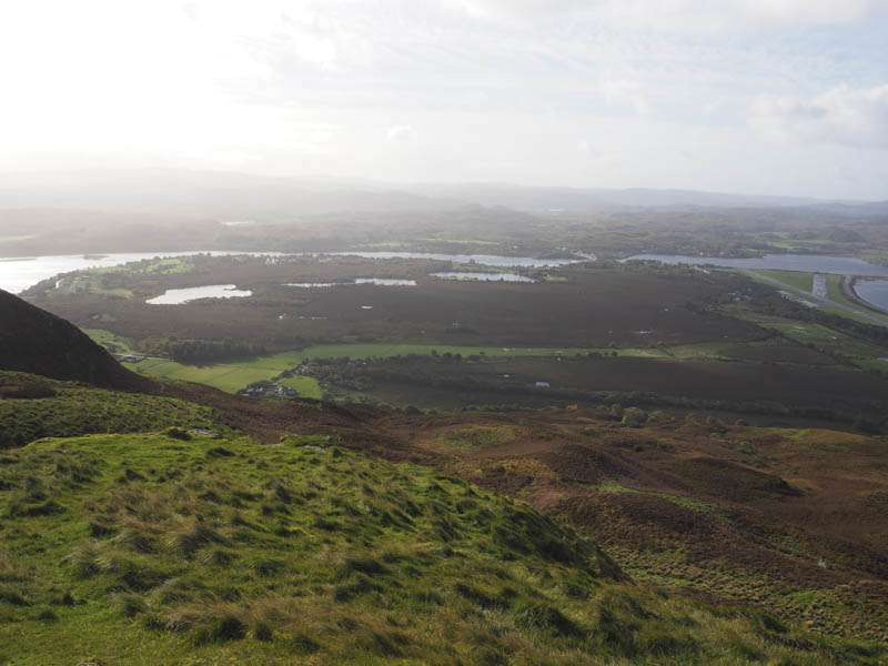
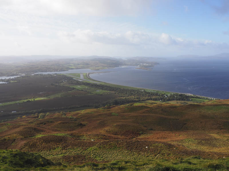
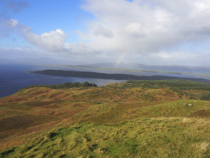
Better views were had slightly further to the south before I returned by the upward route.
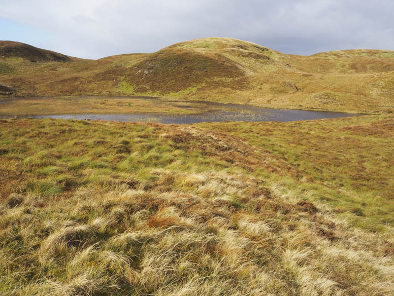
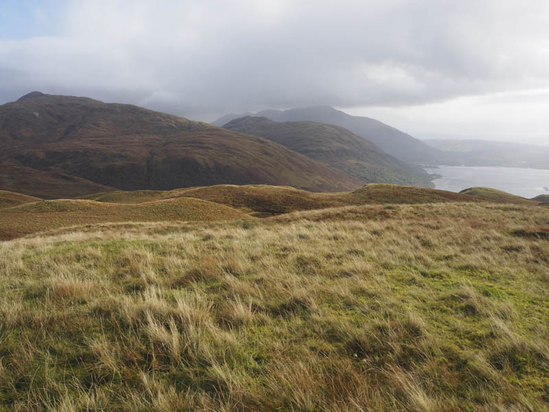
Na Maoilean – The start of this walk was the B845 Bonawe to Barcaldine Road (Gleann Salach) just south of its highest point where there was parking for a couple of vehicles on the west side of the road. This is the same starting point for Beinn Bhreac and Mam Hael.
I set off west on grassy vegetation and not long afterwards I went over a small rise and disturbed a couple of eagles beside the carcass of a sheep. There was also a raven which must have been close by. Anyway they surprised me and were too quick to get a photo, the eagles taking off in different directions.
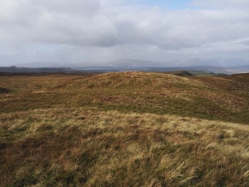
It was then a steady climb through mixed vegetation including dead bracken and some wet ground, avoiding a few knolls, to reach the summit of Na Maoilean.
The highest point of this Marilyn appeared to be a few stones on an outcrop, some distance north-east of the trig point, which I didn’t visit.
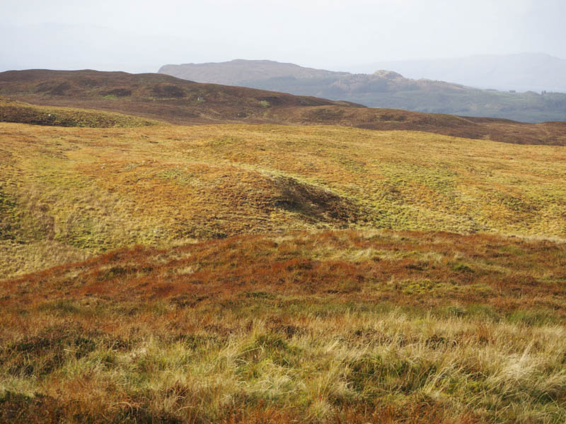
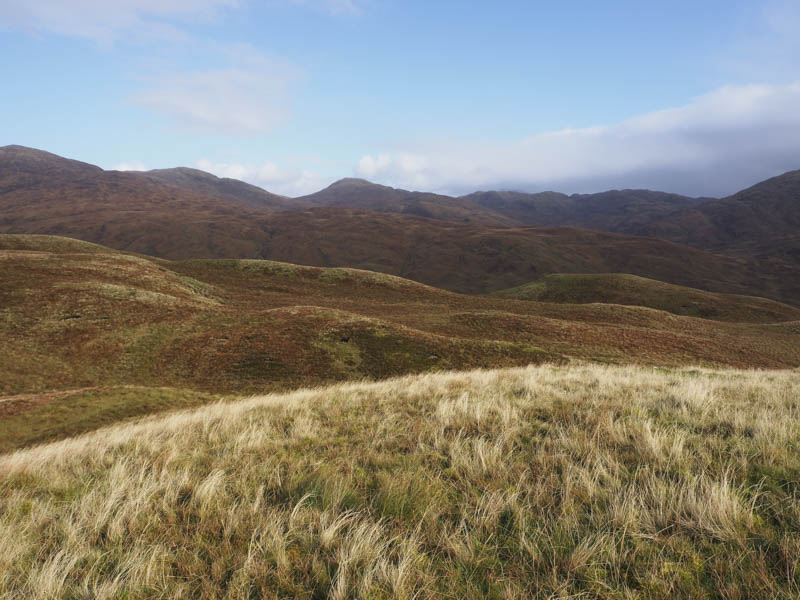
The return was by the ascent route passing the sheep carcass but unfortunately the eagles hadn’t come back.
Ceann Creige and Beinn Duirinnis
Note – Unfortunately no photographs as the lens developed a fault.
I parked on the west side of the B845 Bonawe to Barcaldine Road just south of the Blarcreen Burn, crossed the road, and spotted a grassy path that wound its way east through well spaced trees and some dead bracken. The path then became wet and muddy having been churned up by the deer and led to an open stock gate.
I continued to use these deer tracks which crossed some wet open ground and went through more dead bracken before steepening. I climbed south-east across mixed vegetation, avoiding the crags, and onto the summit of the Tump, Ceann Creige.
The descent east then north-east took me to the col with Beinn Duirinnis. I then headed up the side of a gully, crossed a stream, went through grassy vegetation, and onto some outcrops to reach the summit of Beinn Duirinnis. The highest point of this Marilyn was one of the rocks beside the cairn.
I returned to the col then retaining the same height worked by way below the north side of Ceann Creige. Despite being pathless it was easy enough before descending to the deer tracks and following the outward route back to the start.
- Total time taken – 6.5 hours.
- Total distance – 16.25 kilometres.
- Total height climbed – 1145 metres.