After a week on the Isle of Skye and prior to returning to the mainland I decided to ascend the Marilyn, Roineval. The A863 Sligachan to Dunvegan Road, west of the Sligachan Hotel and through Glen Drynoch, had a covering of snow from an earlier shower. North of the hamlet of Drynoch and south of Inver Meadale I located the start of the vehicle track up Brae Meadale parking at the wide bellmouth. Beyond the gate a farmer was feeding his sheep but by the time I set off he had driven further up the track.
I walked east up the snow covered vehicle track passing between the feeding sheep to reach another gate leading to the open hillside. Here I met the farmer who was feeding another flock. He classed himself as a crofter despite keeping over 500 sheep and some cattle. He had no objection to where I left my car. I also learned that there were no cattle or horses on the open hillside, as reports from other walkers mentioned a problem with horses, but according to the crofter they were owned by his daughter and were now fewer in number and just looking for food.
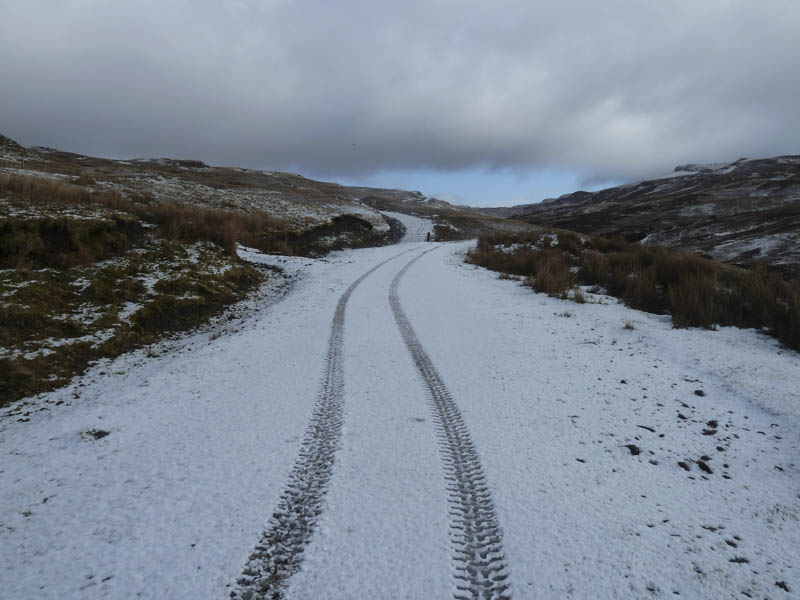
The vehicle track appeared to have recently been improved possibly for timber extraction so the walking was easy with a gradual height gain. Prior to reaching the Bealach Mor I left the track, lost a small amount of height, to cross a mixture of frozen and wet ground to reach what appeared to be the remnants of an old stone dyke.
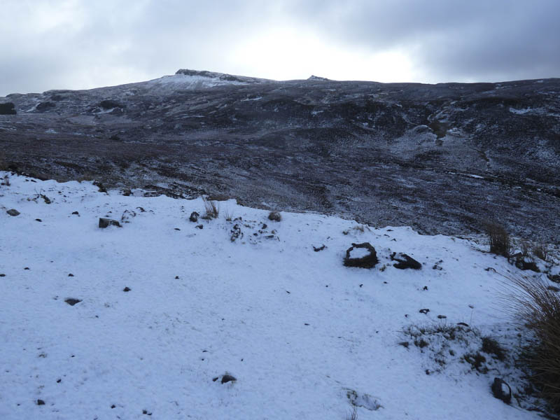
This led to a stock fence and once over it I climbed through some straggly heather at the edge of a small stream. By this time cloud had engulfed Roineval’s summit.
The gradient increased and there were a few patches of old snow to cross as I headed for a gap in the rocks then made my way towards the summit as the cloud lifted.
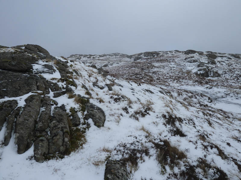
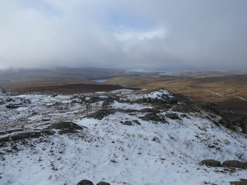
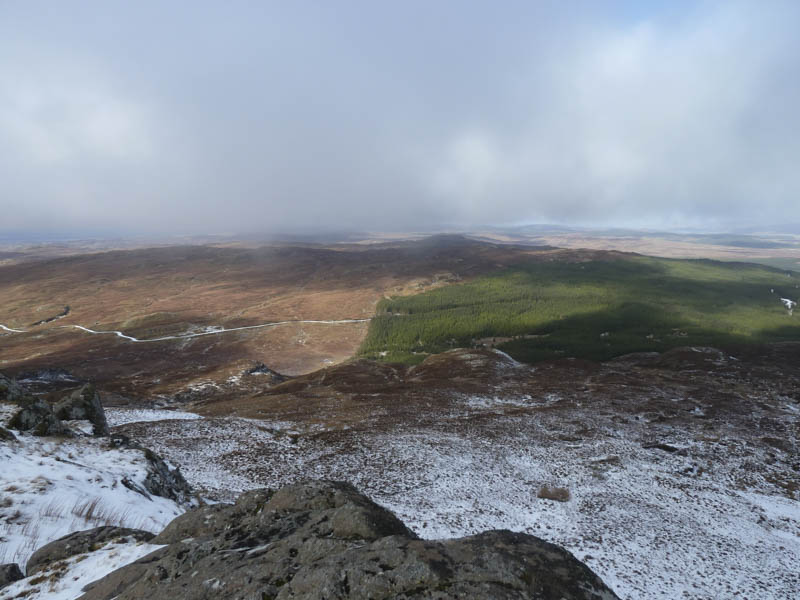
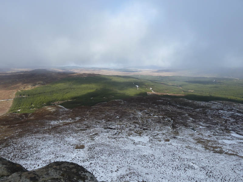
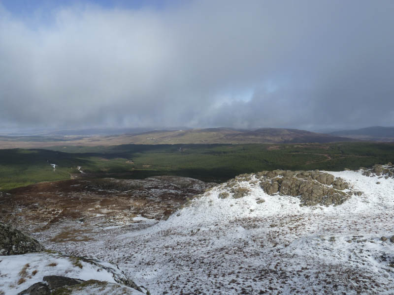
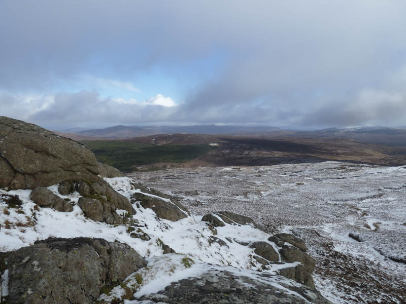
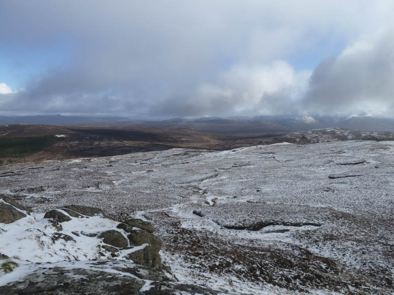
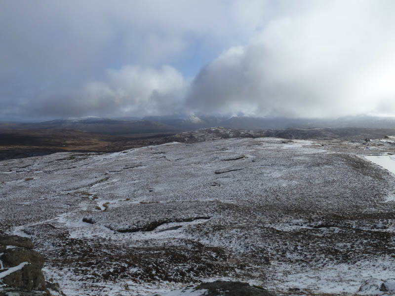
On reaching the trig point the cloud lowered again so I sat there waiting for it to clear. It eventually lifted and I got some views back to Brae Meadale and across Glen Tungadal towards Portree. I also had a wander around the some of the rocky sections on this fairly large summit area as the cloud broke over the Cuillin.
The return was by the ascent route but by this time most of the mornings snow had melted.
- Time taken – 2.75 hours.
- Distance – 7.75 kilometres.
- Height climbed – 370 metres.