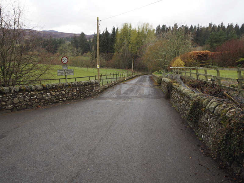
I decided to climb the Marilyn, Creag nam Mial, from the east so I drove north on the A924 Bridge of Cally to Kirkmichael Road parking opposite the entrance to Pitcarmick House. I then headed towards this property descending to cross the bridge over the River Ardle then south towards the Sawmill. There were a few signs indicating the route to the Cateran Trail which avoided the house, the Sawmill, and another property beyond it.
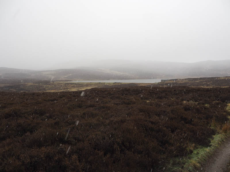
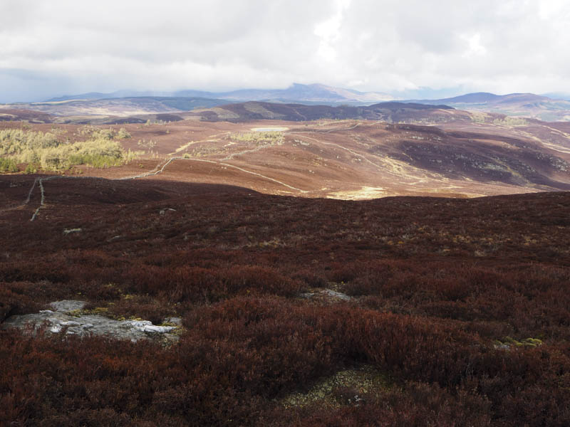
This vehicle track took me up the side of some trees, across the Cateran Trail then wound its way west towards Pitcarmick Loch over 3 kilometres away. En-route a hail shower turned to snow, began to lie and lasted for around an hour. The snow wasn’t that heavy so the route ahead was always visible.
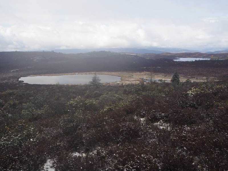
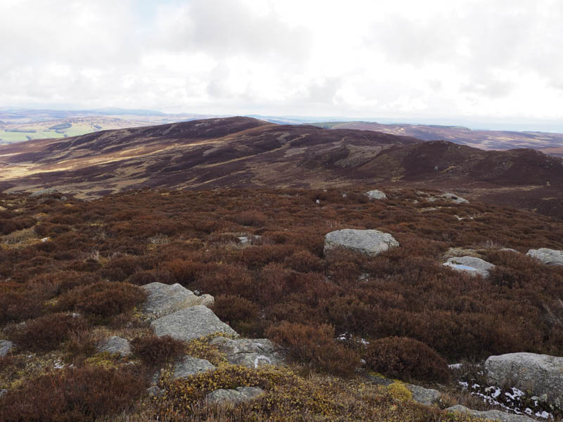
On reaching the loch a rough track ran below the dam then continued south gaining height. My plan was to climb the Marilyn first then head to its North-West Top but on leaving the vehicle track and following a wet and boggy quad vehicle trail I was now closer to the North-West Top. The quad vehicle trail came to an end at a broken crow trap so I crossed some burnt heather then as the gradient steepened long thick heather. An old stone dyke, an old stock fence and a deer fence all close together was reached but unfortunately the summit of Creag nam Mial North-West Top was on the other side of the deer fence. I crossed it and as the snow was now quite light I took a break at the highest point of this Tump.
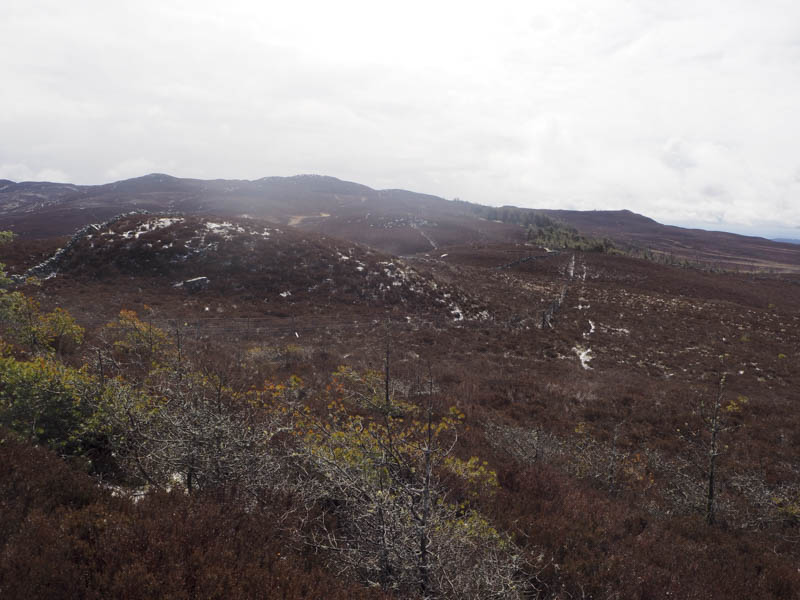
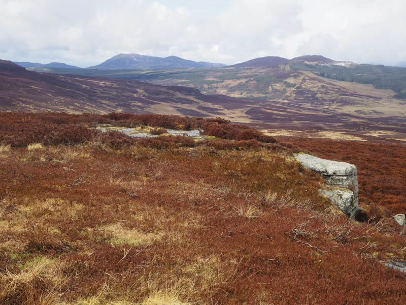
Afterwards I descended south to discover that the fence had collapsed in places. It was a steep drop to the col with Creag nam Mial then I followed the fences and old stone dyke as I ascended this Marilyn. It was hard going through the long heather but a bit easier if I kept close to the dyke. Before the summit the fences turned south-west but the dyke continued to just below the summit cairn which was situated on top of a rock.
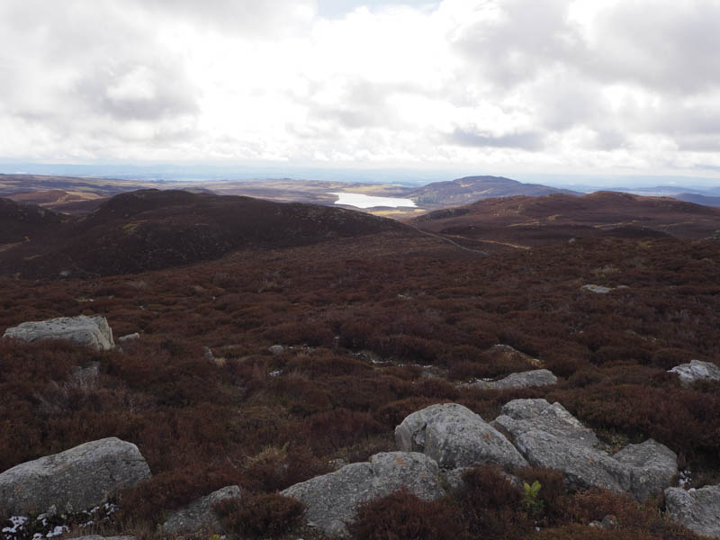
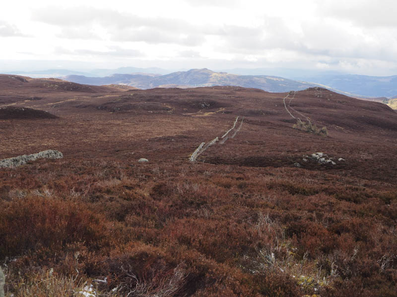
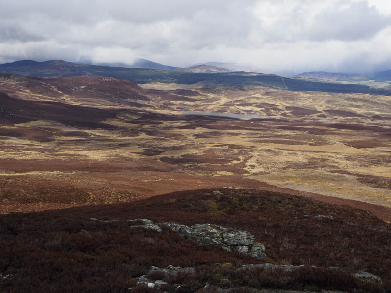
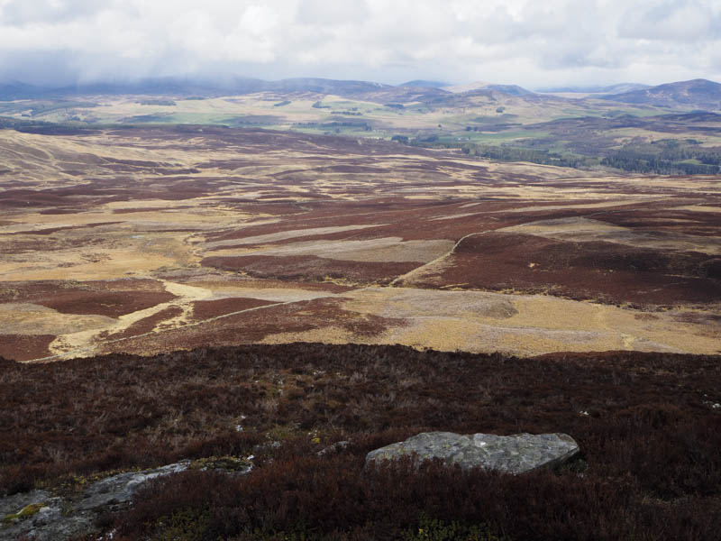
With cloud in the west thickening I didn’t remain long at the summit and descended north through long heather, some burnt, then wet and boggy ground to reach the quad vehicle trail used earlier. I returned to Loch Pitcarmick and from there followed vehicle tracks through some burnt heather and towards Creag na h-Iolaire as it started to snow again. On reaching the cairn marking the summit of this Tump I found some shelter from the snow and took another break.
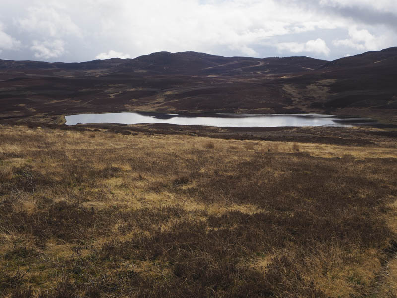
Once the snow ceased I descended back to the loch then followed the outward route to my car.
- Time taken – 6.5 hours.
- Distance – 17 kilometres.
- Height climbed 610 metres.