The previous day, due to weather conditions, I failed to reach the summit of the Corbett above Kingussie, so this day searched for a hill with a better chance of reaching the top. I settled for Creag an Amalaidh, a hill promoted to Marilyn status the previous year.
The starting point was the entrance to what appeared to be an old quarry, east of the bridge over the Allt Loch Tarvie in Srath Carnaig, reached from the A9 at The Mound, south-west of Golspie, where I left my car. I then climbed fairly steeply through the trees to the west.
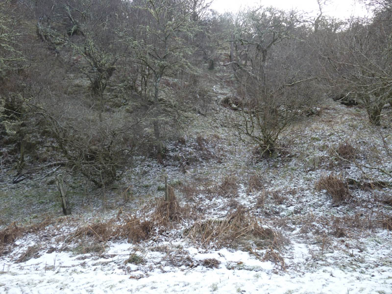
The gradient soon eased although some meandering was involved to avoid branches and fallen trees.
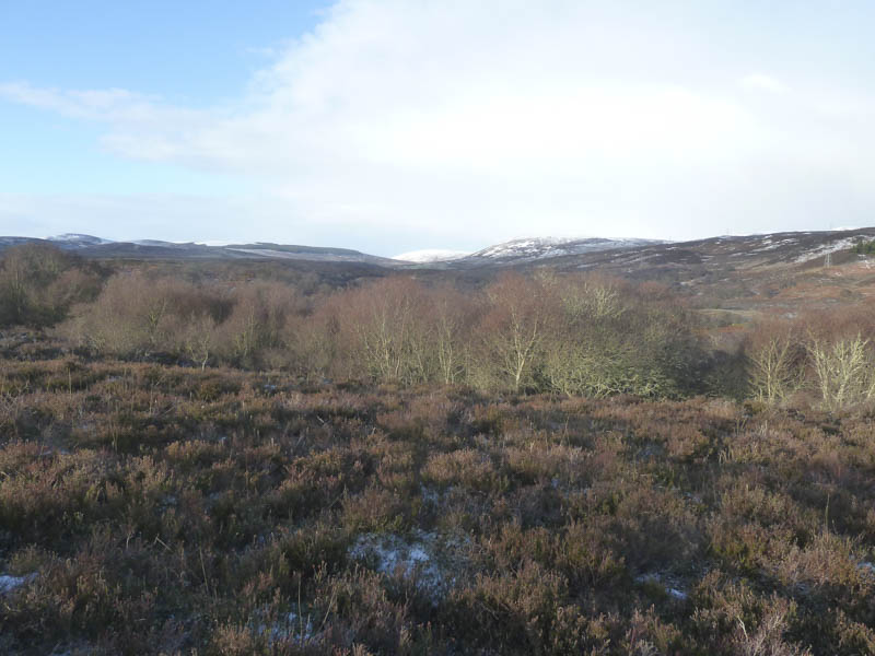
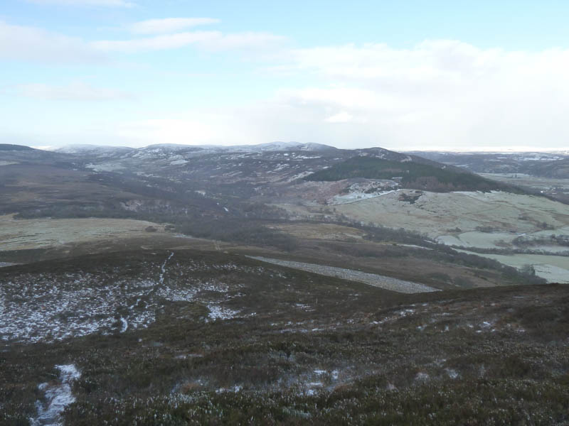
I walked through an area of long heather to a fence which was followed to an old stone dyke. This structure led through some more trees and to the open hillside below Creag an Amalaidh.
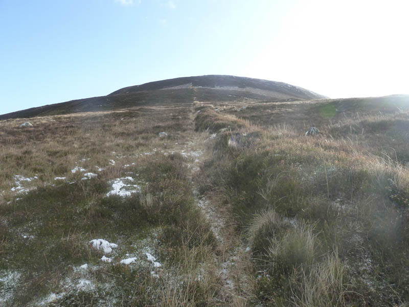
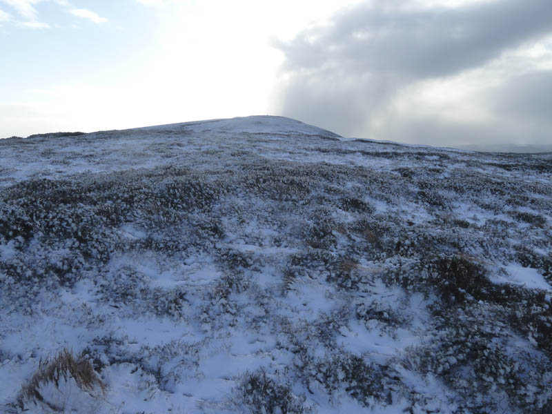
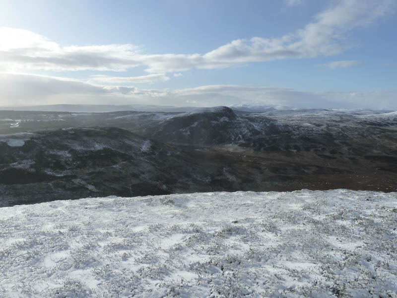
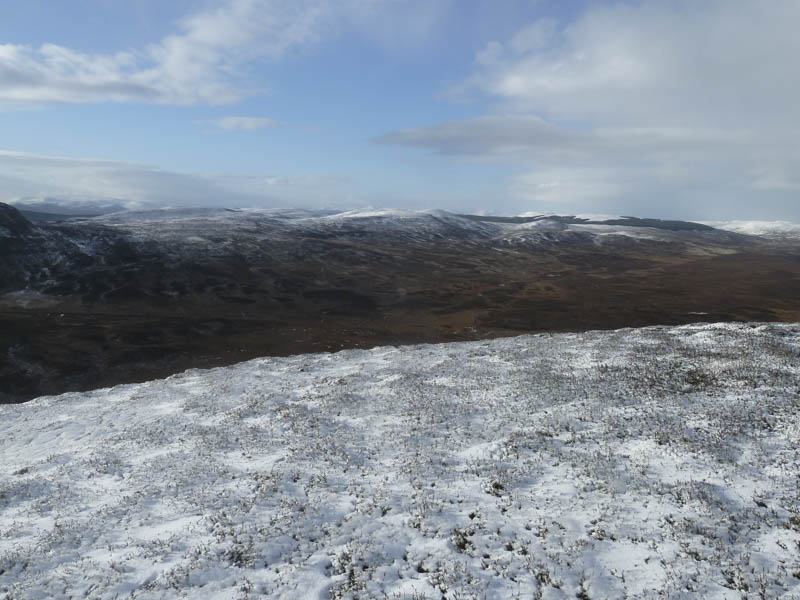
The remnants of the dyke continued uphill with traces of a path. Higher up the ground was snow covered and it was a bit breezy, encountering a snow shower.
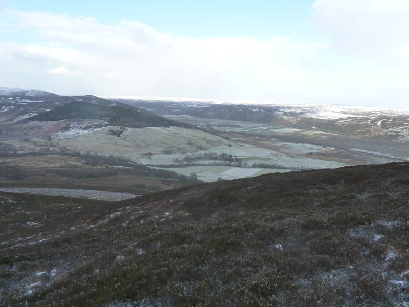
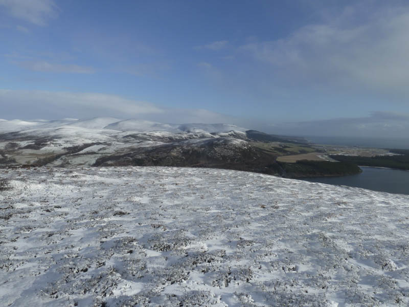
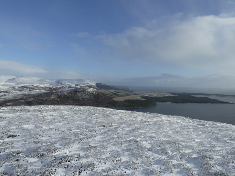
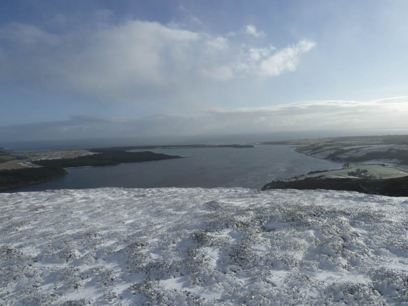
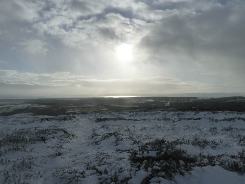
On reaching the top I found shelter behind the summit cairn, shown on the map as Princess Cairn, with views across Loch Fleet to the Dornoch Firth.
The return was by the upward route.
- Time taken – 1.75 hours.
- Distance – 3.25 kilometres.
- Height climbed – 230 metres.