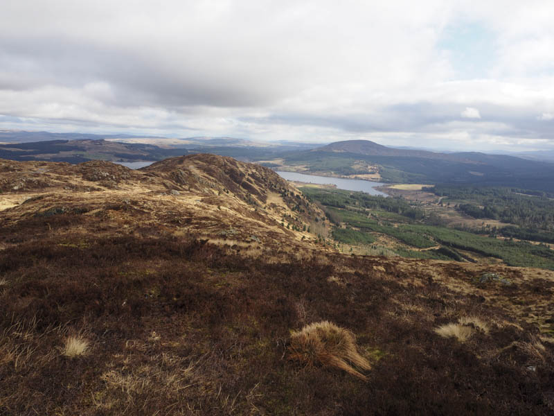
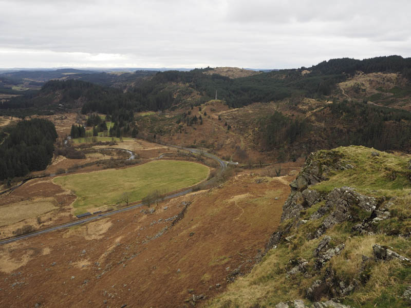
Craignell and Darnaw – It was back to Clatteringshaws Loch driving a short distance along this minor road, accessed from the A712 Newton Stewart to New Galloway Road, to the south-west end of the loch parking beside a campervan on ground capable of holding a few vehicles. This was also the parking area for Lillie’s Loch.
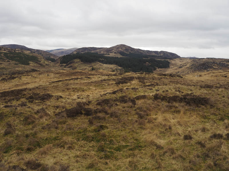
I crossed the road bridge over the Pulran Burn and walked west along a forest track before turning right and heading north to a T junction with a large quarry directly opposite. Here I went left and continued west to a locked gate. (NX52567529) Immediately before it and to the north there was an old forest track which I followed. The track later headed west and despite it being slightly overgrown it made for easy walking below Low Craignell. There were a few trees to the north, a couple had fallen over partially blocking the track, but the immediate area to the south had been cleared and re-planted.
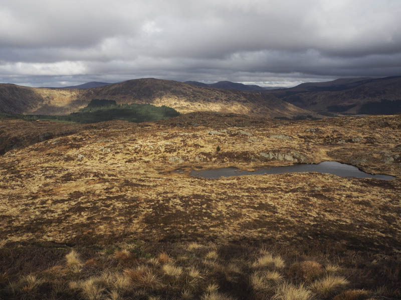
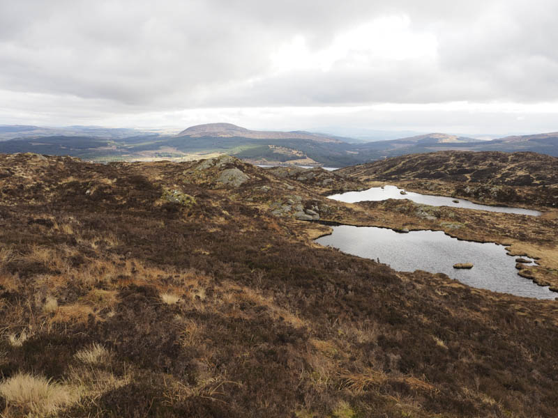
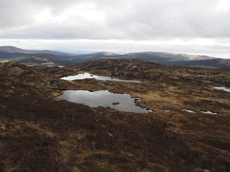
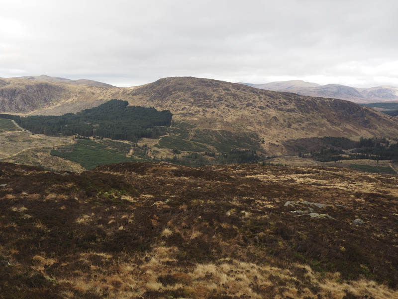
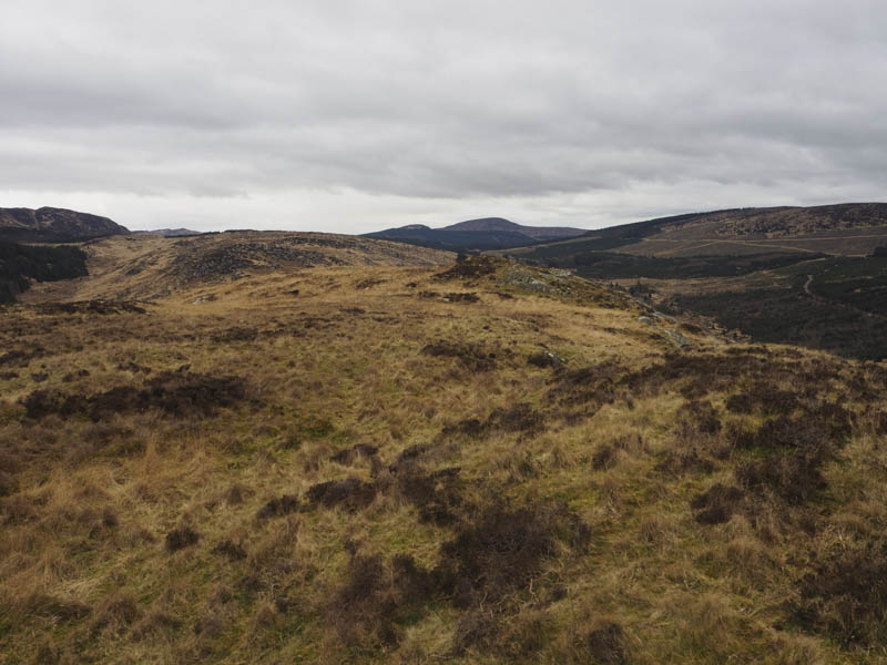
My plan was to climb Darnaw first but the rough vegetation and fairly steep ascent didn’t look inviting. A bit further west I observed what appeared to be an easier angled route so continued along the path to NX51357503. Here I left it and climbed fairly easily west then north-west, through a mixture of grass, bracken and a few boulders, onto the south-west ridge of Craignell. It was then a short walk to the summit of this Marilyn where the highpoint appeared to be a heathery knoll.
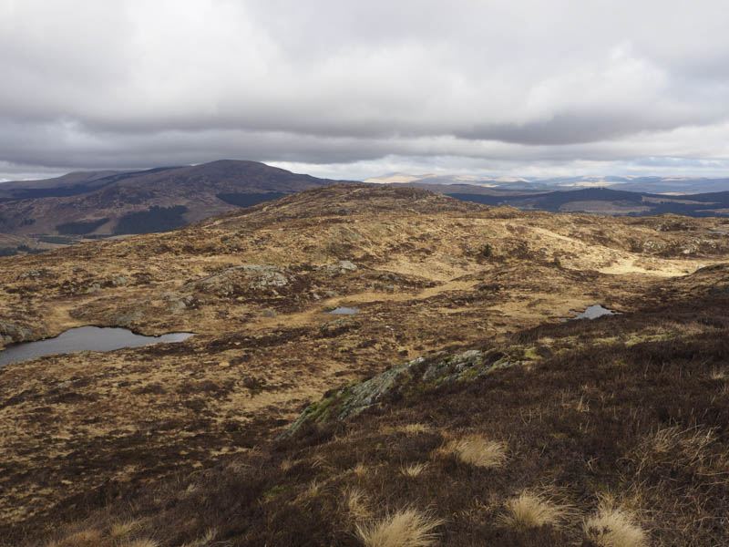
On leaving this summit I headed north-east along an undulating and twisting ridge then north to the col with Darnaw before climbing this Tump. The highest point was ground east of the cairn.
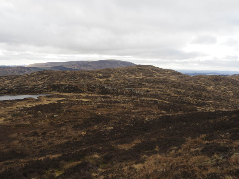
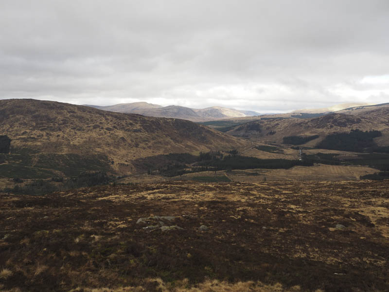
The descent was back towards the col avoiding the hollow containing the Darnaw Burn then to the west of Low Craignell before descending fairly steeply south through rough vegetation including some dead bracken to rejoin the old forest track at NX51827532. I thereafter returned to the start by the outward route.
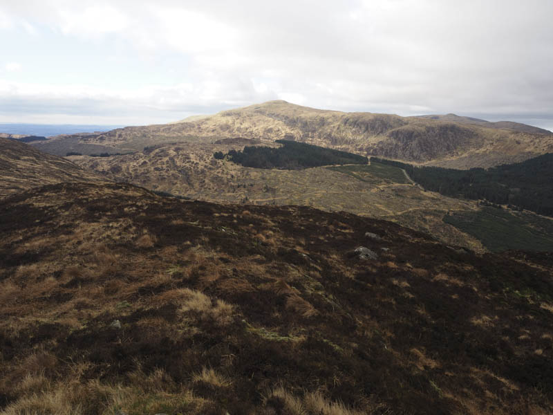
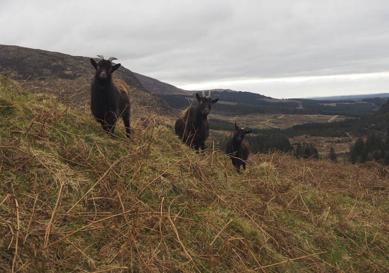
Craigdews Hill – I left my vehicle in the Grey Mare’s Tail car park on the north side of the A712 Newton Stewart to New Galloway Road, crossed the road bridge over the Grey Mare’s Tail Burn, and climbed fairly steeply north up the east side of this stream. I later left this path, walked across some flattened dead bracken and up the north side of a high fence enclosing the Wild Goat Park. There were several goats on the opposite side.
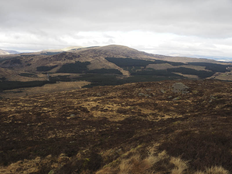
Higher up I crossed the fence and climbed to the summit of Craigdews Hill, the highest point of this Hump was a small rocky and heathery knoll.
The return was by the upward route.
- Total time taken – 4.75 hours.
- Total distance – 10 kilometres.
- Total height climbed – 590 metres.