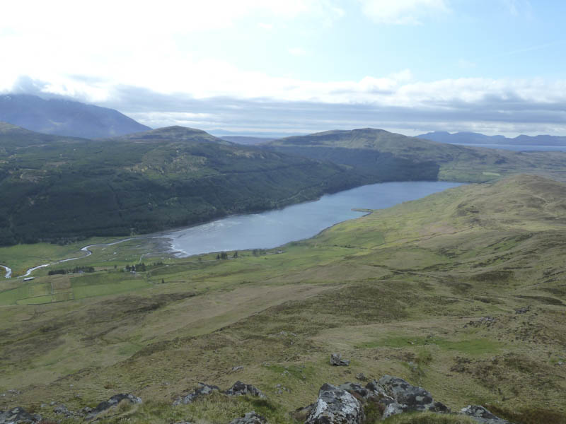
I parked on waste ground beside the highpoint of the minor road in Glen Eynort, Minginish, accessed from the B8009 near Carbost, on the Isle of Skye. I then walked west on a rough track along the north side of the Eynort River. The track didn’t appear to have been used since the nearby trees had been harvested and extracted.
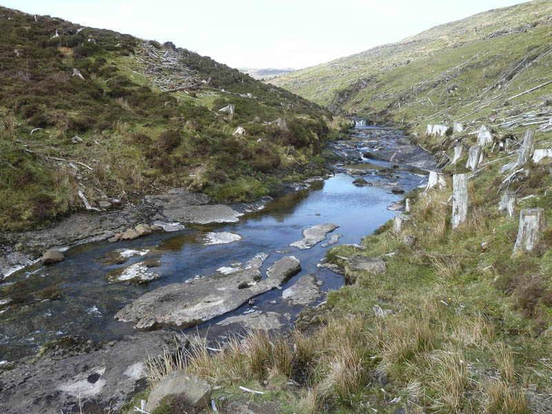
At a split in the track I took a left which led down to the river. Fortunately the water was low and easily crossed. The condition of the track deteriorated before it came to an end to be replaced by animal trails.
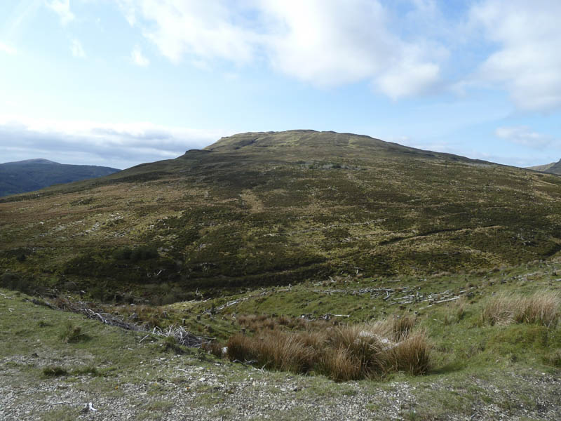
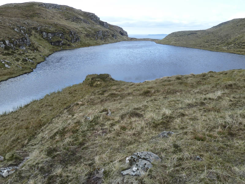
The plan to continue to the Shielings was abandoned so I walked through heather and brash, which wasn’t as bad as expected, to reach a stock fence. Once over it the hillside consisted of rough vegetation. I reached a cairn to the west of Loch Biod Mor then descended to and round the north side of this loch.
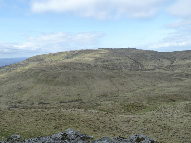

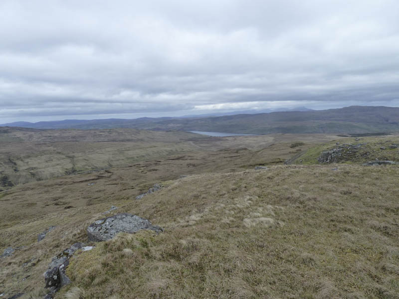
It was then an easy ascent of Biod Mor the highest point of this Marilyn marked by a cairn.
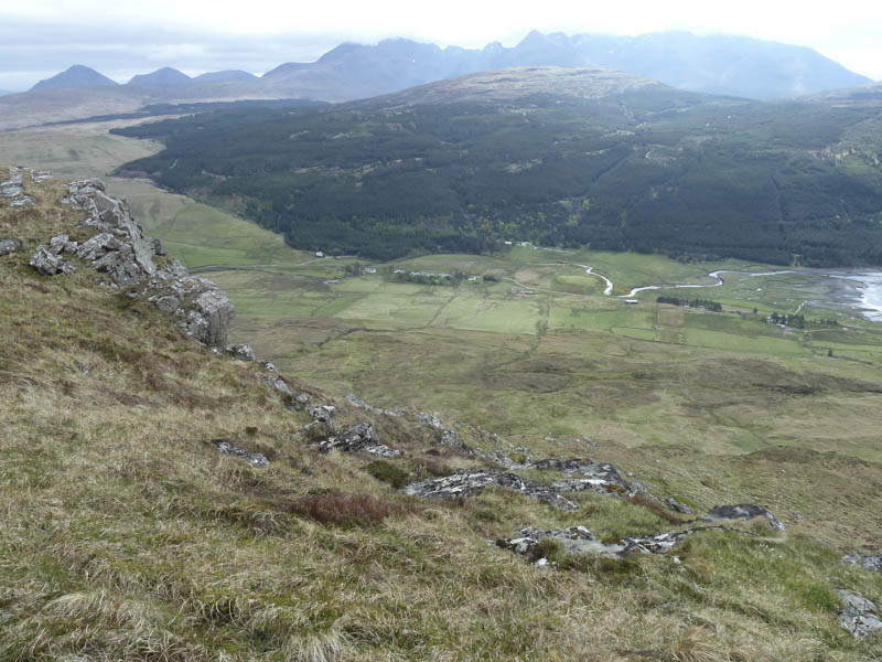
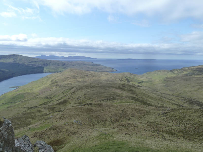
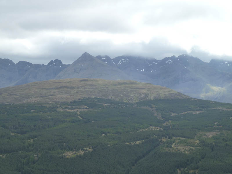
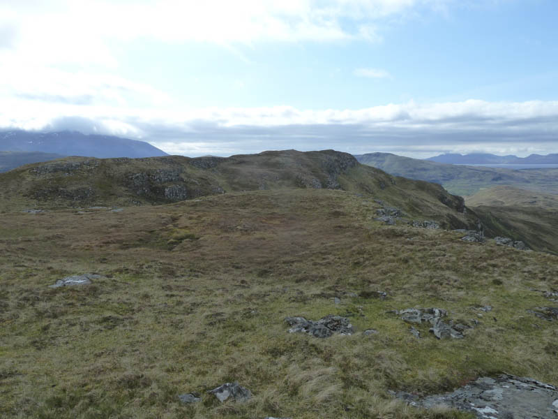
I took shelter from the breeze for a snack looking out towards the Islands of Rum and Eigg before returning by the upward route by-passing the cairn west of the loch.
- Time taken – 2.5 hours.
- Distance – 5.25 kilometres.
- Height climbed – 300 metres.