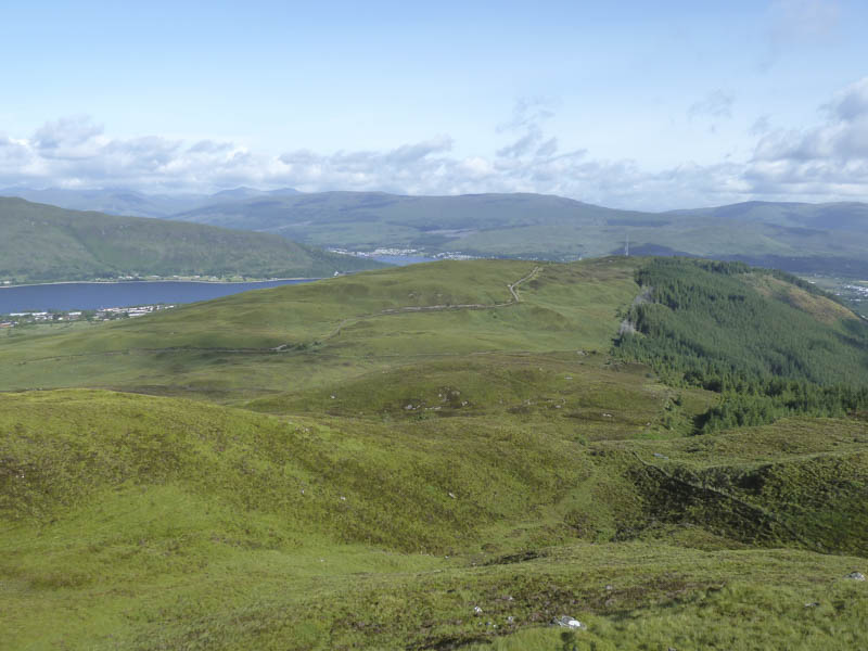
Staying locally it was only a short drive to Upper Achintee Road in Fort William where I managed to get my car off the road beside a cattle grid then walked east along a vehicle track signposted Peat Track to Glen Nevis and Cow Hill Summit. There was a sign further along the track for Cow Hill Circular Walk.
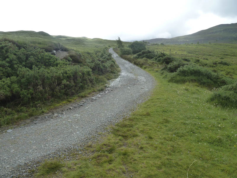
The track took me above the houses at Upper Achintee then I joined a path that came up from Fort William Town Centre. After around 1.5 kilometres the track split, left was for Cow Hill while the other lower one was for Glen Nevis and the Cow Hill Circuit. I took the latter but after a few hundred metres left it and made a slight descent to cross some wet and boggy ground before commencing the ascent of Bidhein Bad na h-Iolaire.
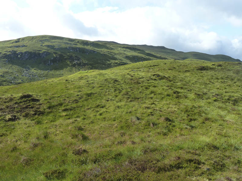
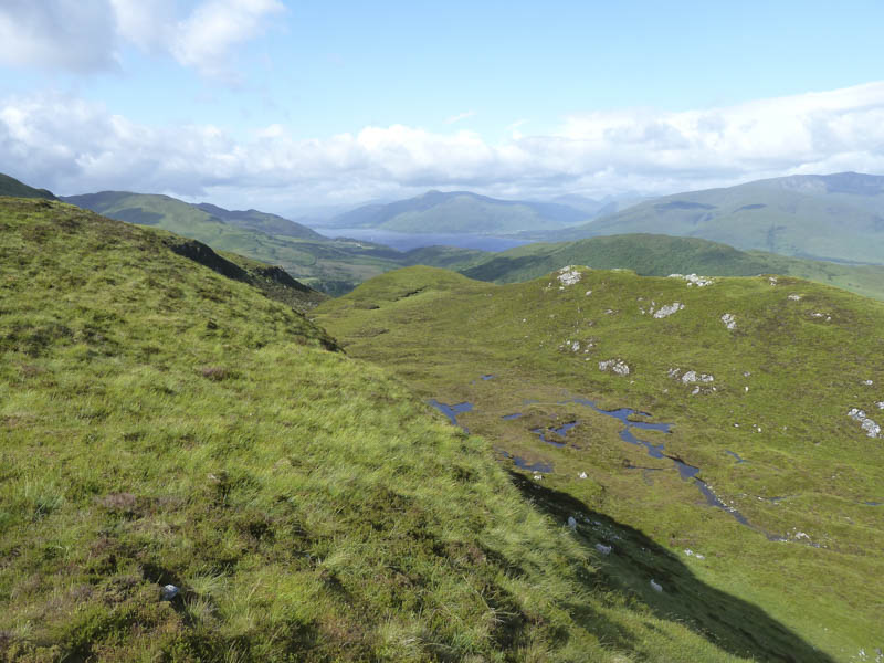
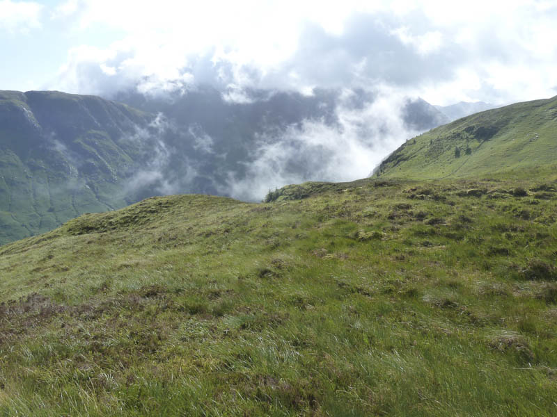
The vegetation was long and in places tussocky making the ascent hard work. Here I had the only shower of the day although the forecast was for merging showers giving longer spells of rain
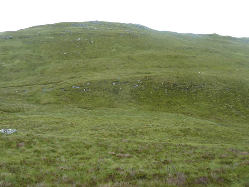
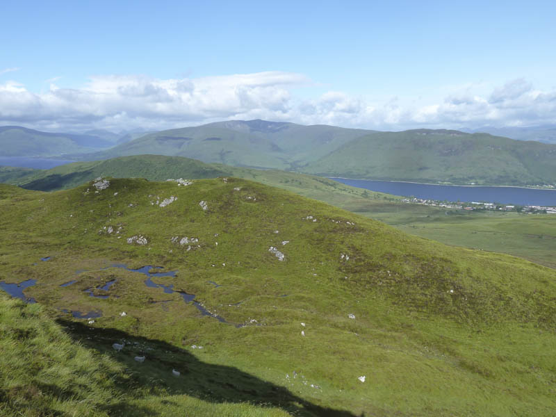
. It was a rather complex hill with lots of undulations and gullies and after trying to avoid unnecessary ascents I reached the summit cairn. A point ENE of the cairn was apparently the highest point of this Marilyn.
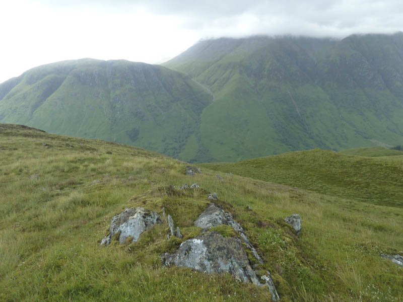
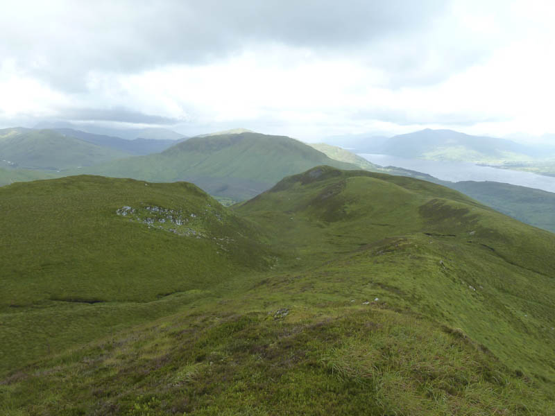
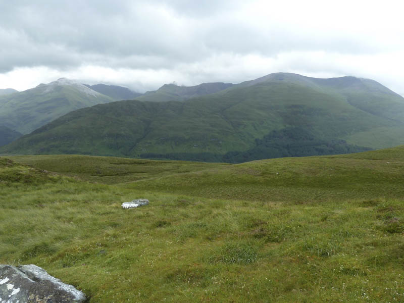
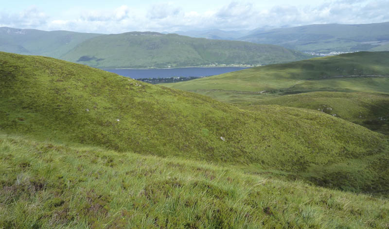
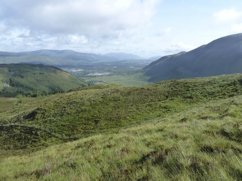
I spent some time near the summit taking in the views before returning by the ascent route.
- Time taken – 3.25 hours.
- Distance – 6.5 kilometres.
- Height climbed – 310 metres.