There was a choice of starting points for the Marilyn, Beinn Mheadhonach. I disregarded the approach from the foot of Glen Etive which involved crossing over Beinn Trilleachan and the northerly approach from Glen Ure, settling for an approach from the west. I parked at the side of an old section of the A828 Ballachulish to Connel Road just north of Druimavuic, to the east of Loch Creran.
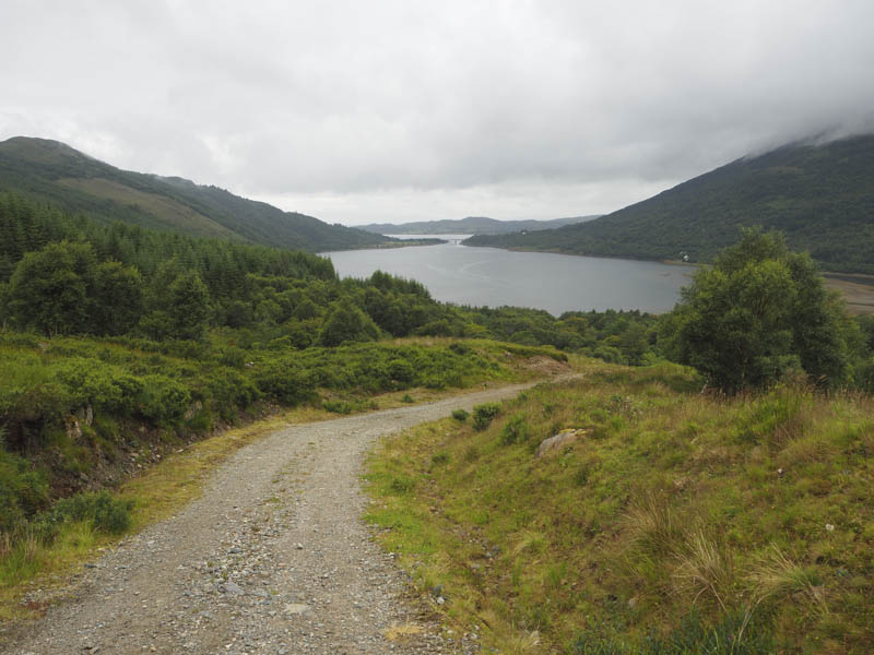
I walked a few metres south along the old road, passed through a pedestrian gate in a deer fence adjoining one for vehicles, where there was a permanent sign stating that stalking was in progress and to stick to recognised paths. (Doesn’t meet the access recommendations) The track passed a walled garden and led to another set of gates in a deer fence. The track was then fairly steep as it initially wound its way uphill with the gradient later easing before an unfortunate dip in the track above the mini hydro scheme on the Allt Buidhe.
Around two thirds of the way along this track I heard the noise of a vehicle engine. My thoughts were that stalking was taking place and I would be asked to change my plans. It took some time for the vehicle to reach me, a pick-up with two men on board. They gave me a wave and continued uphill.
A bit further on I came across them sitting in their vehicle and we had a chat. They were working on upgrading the vehicle track including drainage which was the case lower down. I was asked where I was headed and was told that the vehicle track continued to the stream west of Beinn Mheadhonach and that the estate owner wanted to upgrade the track to this point.
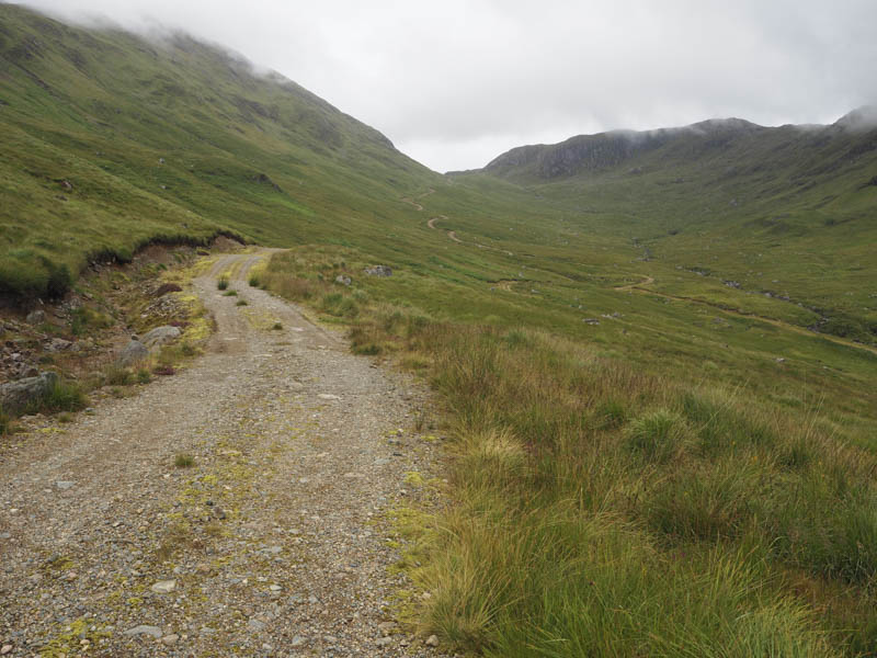
I continued up the track, passed a couple of works vehicles, to the col between Beinn Sgulaird and Creach Bheinn then commenced the descent to the Allt Easach. The initial section of the track was in reasonable condition but soon became less obvious, overgrown and with some wet and boggy sections.
I managed to follow the track to the crossing of the stream (NN05744422)where a large pile of rocks created a crossing point. It was here that I realised I had left my camera on the descent when I stopped for a coffee break. Fortunately the plan was to return by the approach route.
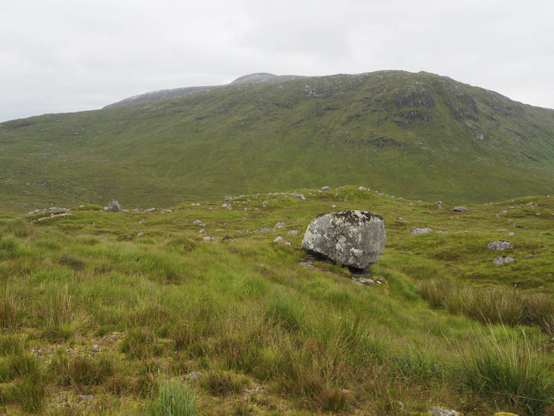
Once on the east bank of the Allt Easach, which only consisted of a trickle of water, there were a few wet and boggy ATV tracks then it was through rough, long wet vegetation to below the north ridge of Beinn Mheadhonach. A fairly steep climb, avoiding numerous crags, took me onto its north ridge followed by an easy walk south to the summit of this Marilyn marked by a boulder on a rock.
As planned I returned by the approach route retrieving my camera en-route.
- Time taken – 5.75 hours.
- Distance – 15.25 kilometres.
- Height climbed – 1100 metres.