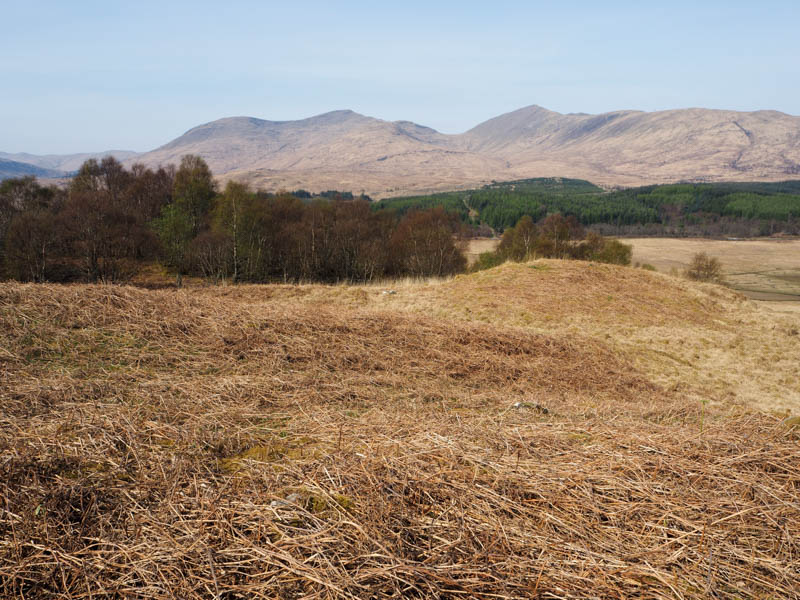
Carn Ban
The final day spent climbing hills on the Isle of Mull was misty, the first clouds of the week. it was back to the south-east side of the Island to climb another Sub 2K Marilyn.
Parked at the start of the forest entrance on the west side of the A849, south-west of Lochdon and before the bridge over the Abhainn Barr Chailleach then walked south-west for around 150 metres to the start of the vehicle track going south. A stile was crossed, this avoided two sets of gates, and I headed off down this track which appeared to be infrequently used. The track was in reasonable condition, probably as a result of the recent dry spell of weather, with only a few wet areas.
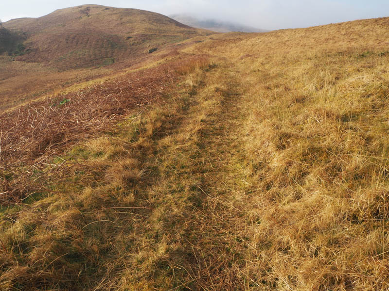
The track rose gently and became more of a path, the ATV vehicles must use an alternative route. This led to a padlocked stock gate then further on merged with an ATV track.
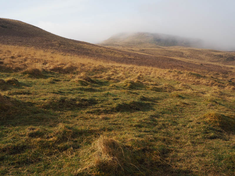
Before reaching Maol an t-Searraich I left the track and climbed over this rise and towards Carn Ban into the low cloud. There were a couple of undulations before the final ascent to the trig point. The highest point of this Sub 2K Marilyn was ground two metres to the south.
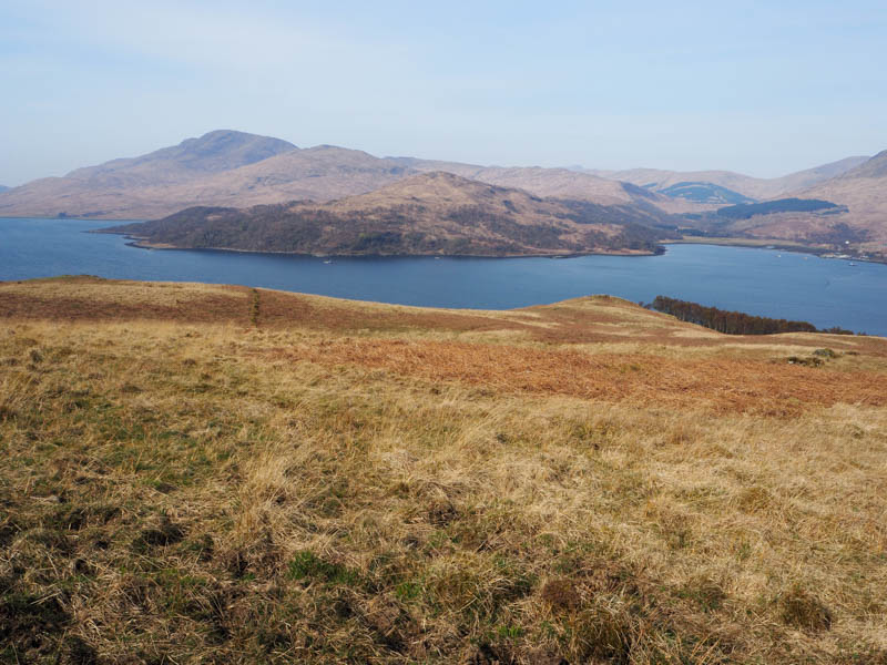
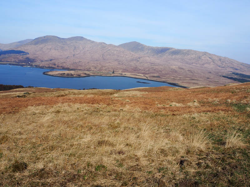
I sat there for around thirty minutes but there were only a few brief breaks in the cloud, so I descended west out of the mist with views down to the old habitation at Killean. Lower down I re-joined the ATV track and followed it back to the point I left it then the outward route to the start.
- 3 hours 5 mins.
- Distance – 8.5 kilometres.
- Ascent – 310 metres.
Torr a’ Bhradain
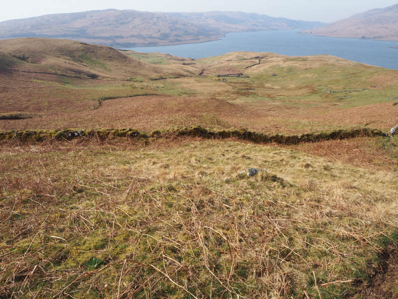
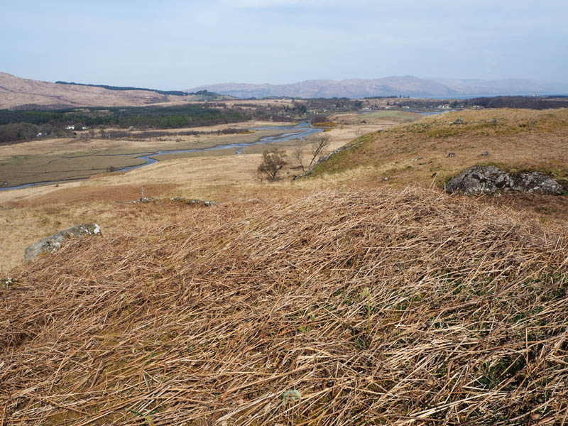
Before heading back to the accommodation, I drove briefly north-east on the A849 then down the minor single-track road leading to Grass Point. Managed to get my car off the road beside a passing place north of Ardnadrochit, there was a better parking spot further north, but it was occupied.
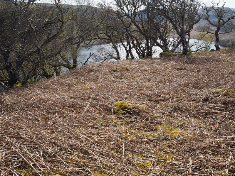
Climbed initially west then south-west through rough ground including lots of dead bracken heading for Loch a’ Ghleannain.
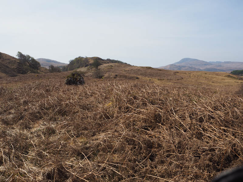
I passed it to the north then it was across grass, heather, more dead bracken and a few rocks to an outcrop marking the summit of the now deleted Tump, Torr a’ Bhradain.
The return was roughly by the approach route.
- Time taken – 35 minutes.
- Distance – 1.5 kilometres.
- Ascent – 50 metres.