The plan was to ascent the Munros, Mullach nan Coirean and Stob Ban, and take in a few Tops, with a couple of friends joining me for Mullach nan Coirean. We left out cars on an area of ground at Achriabhach in Glen Nevis, reached from Fort William, then set off into the forest coming across a sign for Munro access. This led to a reasonable path up the west side of the Allt a’ Choire Dheirg to a bend in the forest track which was followed north-west to a diversion sign.
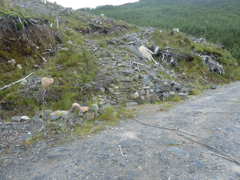
A well constructed path was then followed through felled trees to a stile in the deer fence and the ridge leading to Mullach nan Coirean.
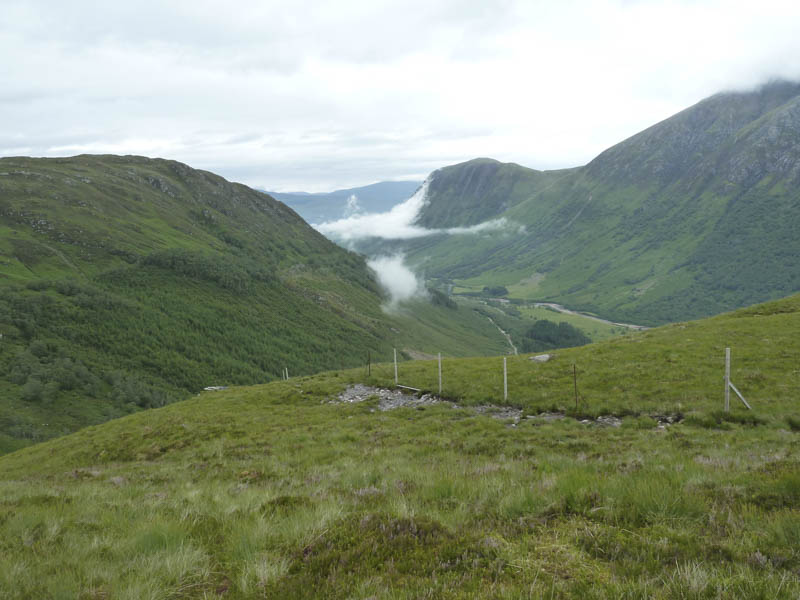
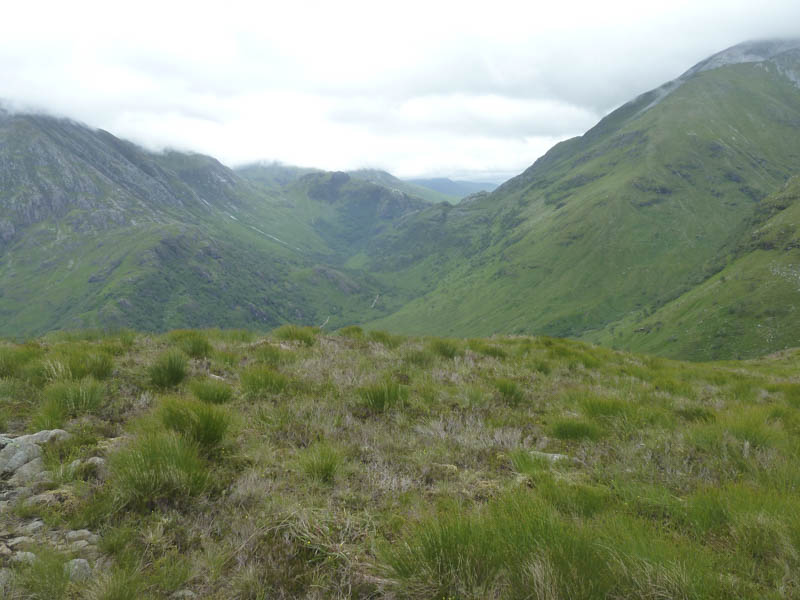
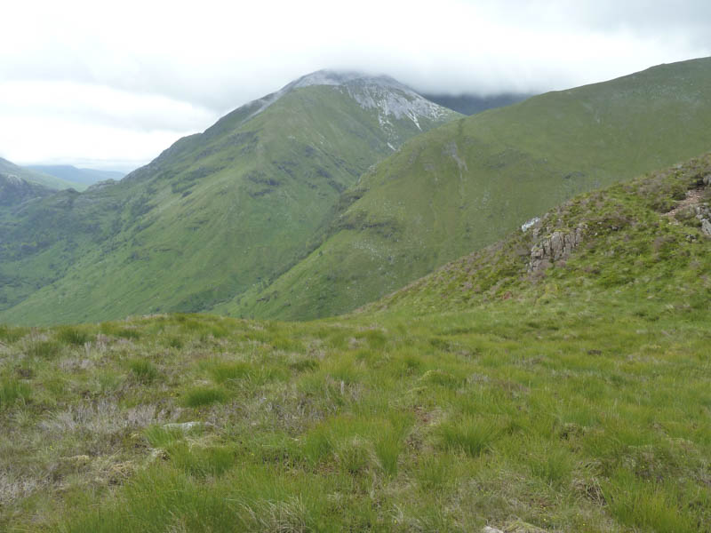
A wet and muddy path ran up the side of a deer fence but after some height gain the underfoot conditions improved. Higher still the terrain became rocky and it was rather windy as we headed round the edge of Corrie Dearg to Mullach nan Coirean’s summit cairn.
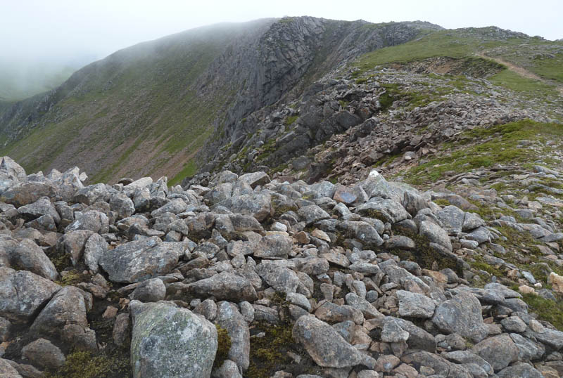
After a short break here I left my companions and descended south-west to the col with the Corbett Top, Meall a’ Chaorainn, before climbing to its summit cairn. With low cloud floating around I didn’t linger and returned to the col then traversed below Mullach nan Coirean to reach the col with its South-East Top.
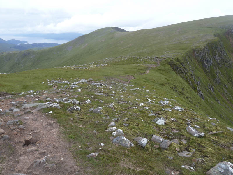
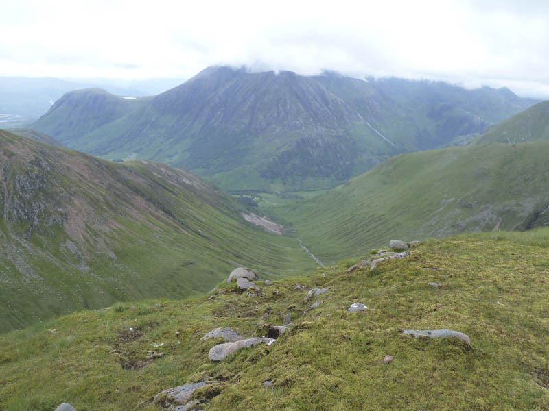
I continued round Coire Dearg and climbed Mullach nan Coirean South-East Top, a Munro Top, then onto Mullach nan Coirean East Top, a Corbett Top.
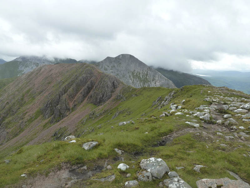
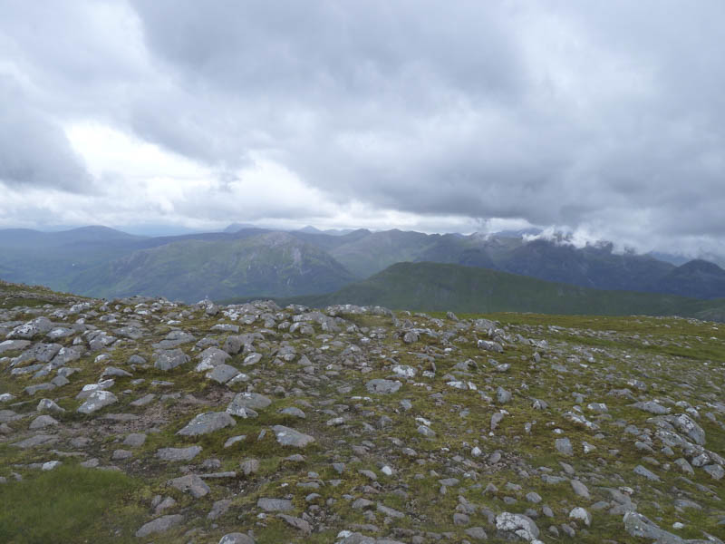
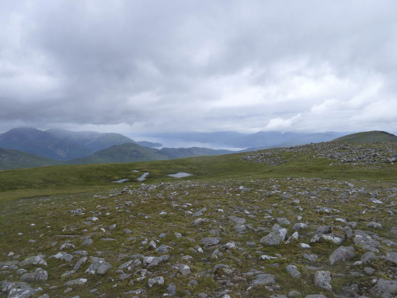
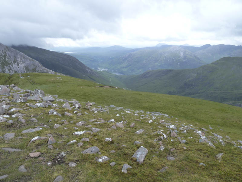
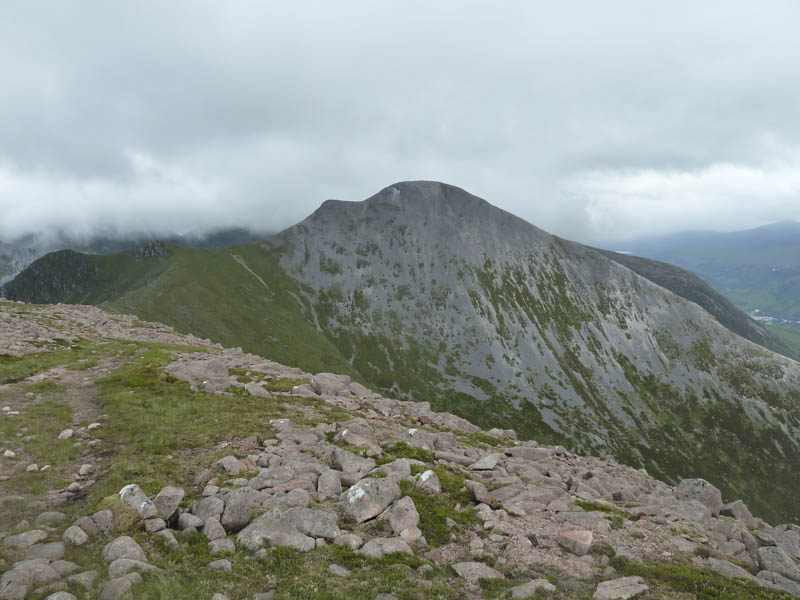
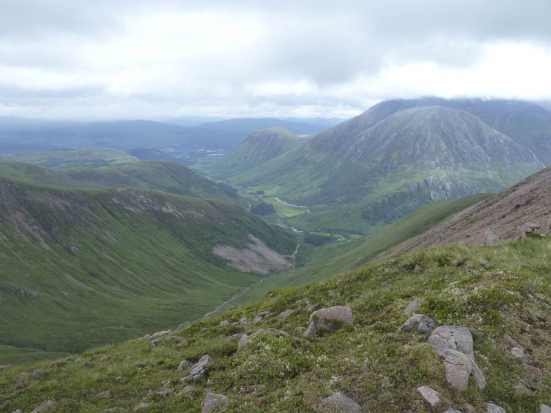
A short drop took me to the col with Stob Ban where I was exposed to the strong wind but it was less windy on the rocky ascent of this Munro, a small cairn marking its summit.
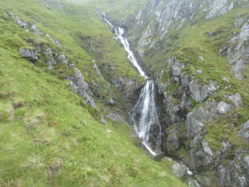
The descent of Stob Ban’s rocky East Ridge was made in low cloud and in windy conditions but on reaching the grassy vegetation I emerged from the cloud. At the col with Sgurr an Iubhair I followed the eroded path into Coire a’ Mhusgain and this took me back to the road in Glen Nevis 400 metres east of my starting point.
- Time taken – 6.5 hours.
- Distance – 14 kilometres.
- Height climbed – 1275 metres.