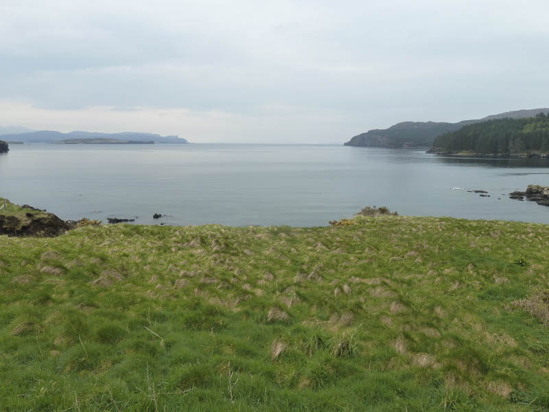
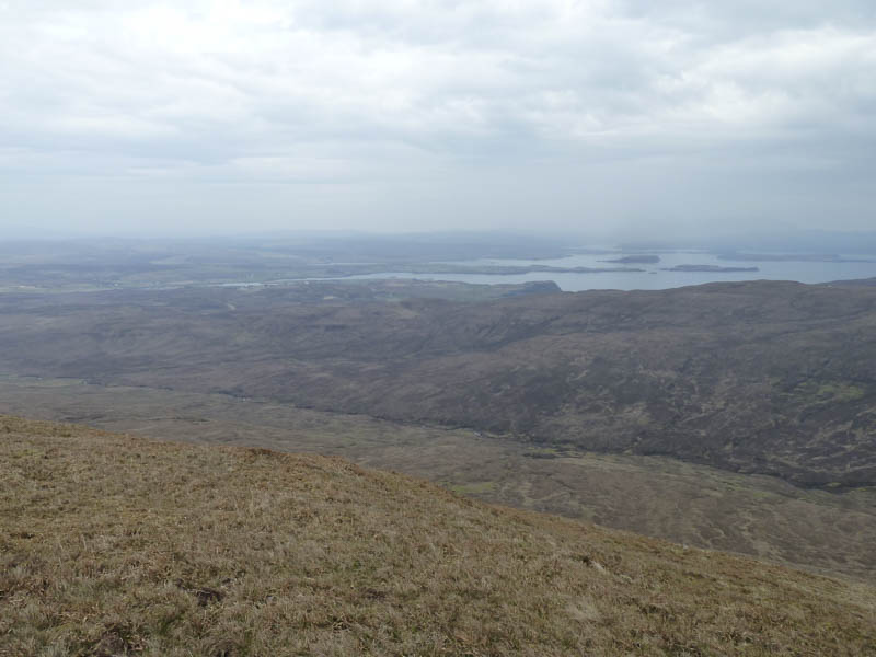
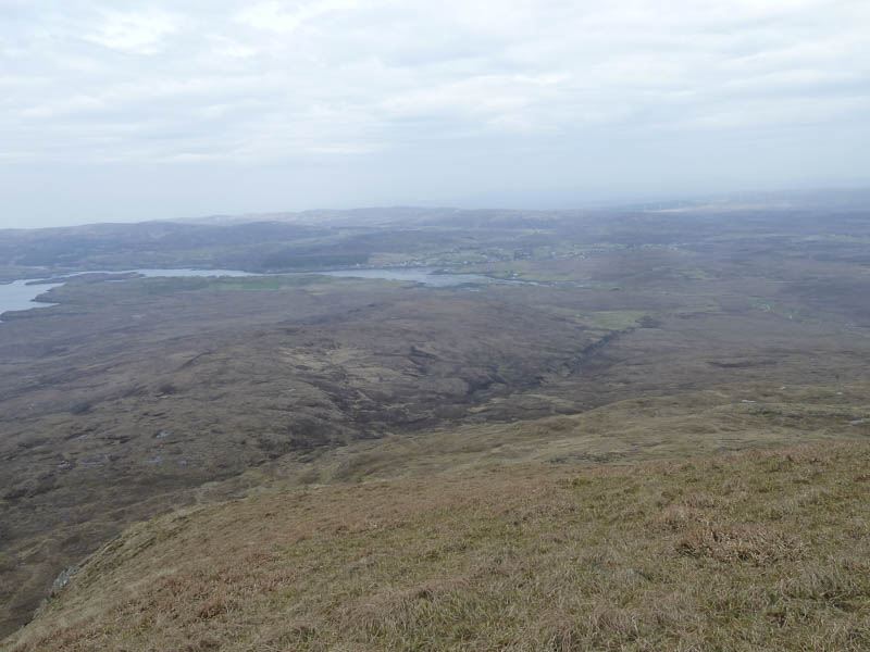
I parked near the farm buildings at Orbost, located at the end of the minor road accessed from the B884 Dunvegan to Glendale Road, on the Duirinsh Peninsula, Isle of Skye. I walked along the vehicle track passed Orbost House, which was under renovation, to Loch Bharcasaig, a sea loch.
The track ran along the edge of the loch, crossed the Abhainn Bharcasaig and entered the forest as the track continued south.
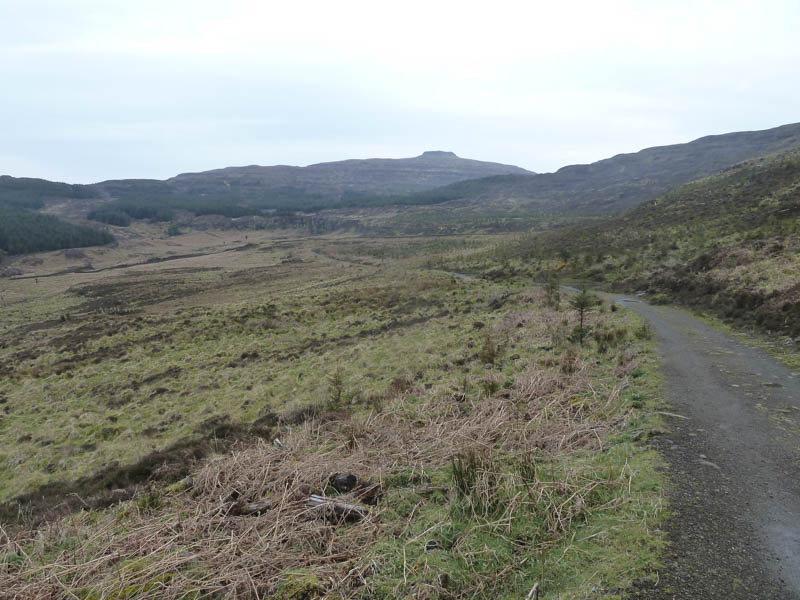
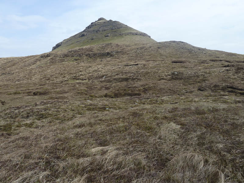
At a gate in the deer fence the vehicle track came to an end to be replaced by a path which was initially muddy. At the path’s high point I left it and commenced the ascent of Beinn na Boineid. The hillside was shown on the map as clear of trees but there were a few small ones to avoid then a stock fence to cross before reaching the summit of this Hump.
After a break here I descended north-west before climbing the Marilyn, Beinn Bhac-ghlais.
From there I briefly headed north before dropping north-west to the Bealach Bharcasaig where there was a gate in the stock fence.
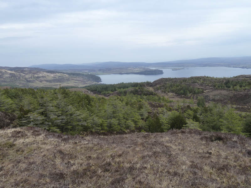
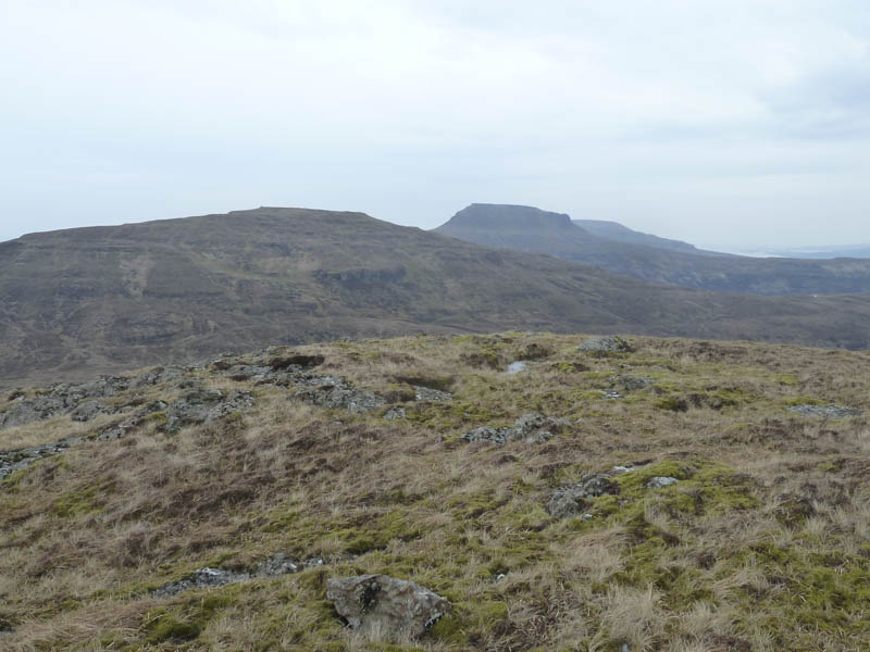
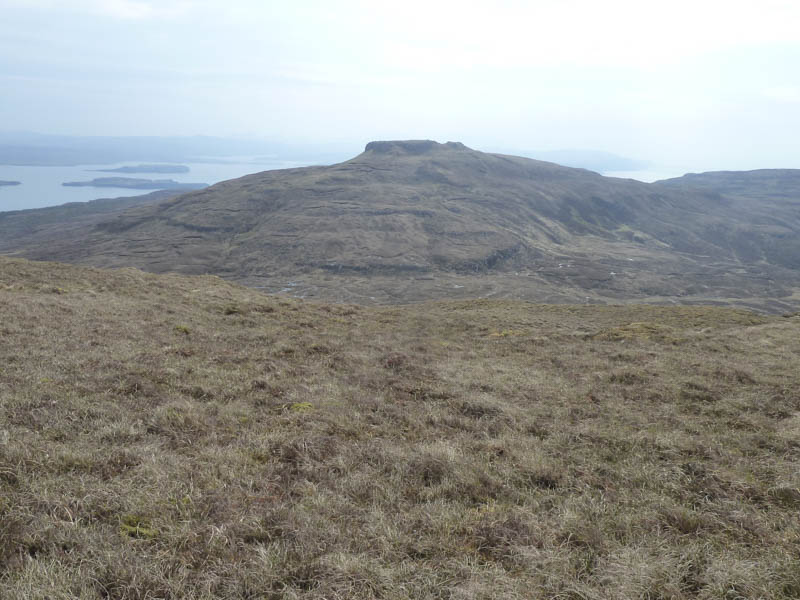
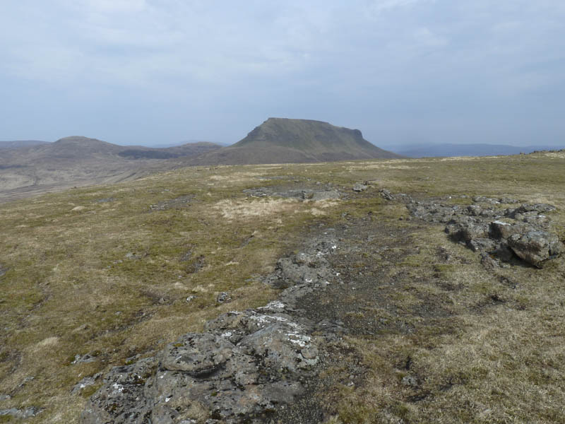
I then climbed Healabhal Bheag which higher up was fairly steep before easing towards the trig point. The highest point of this Marilyn, which I visited, was a grassy mound 140 metres from the trig.
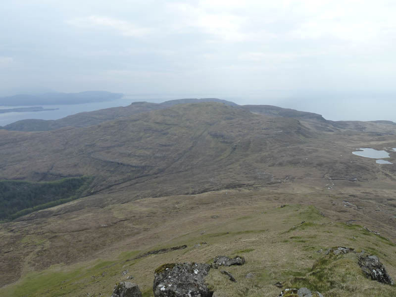
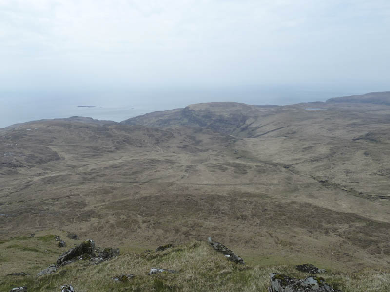
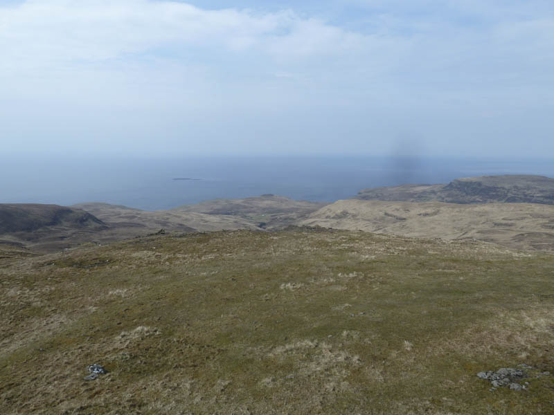
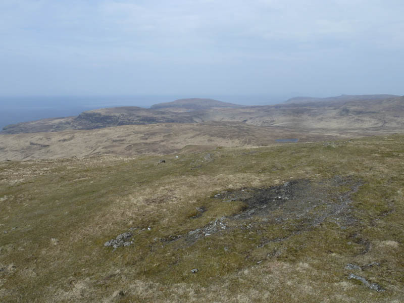
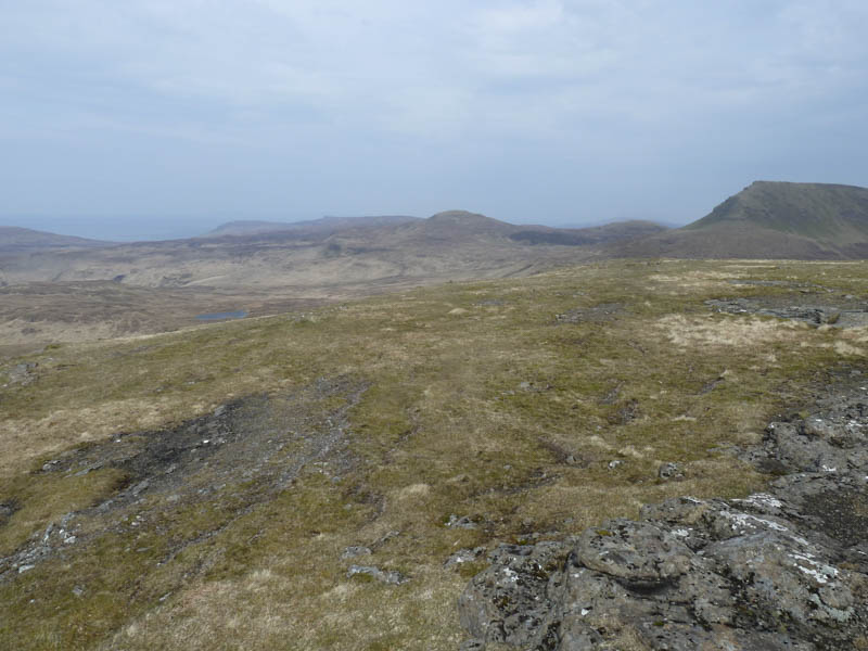
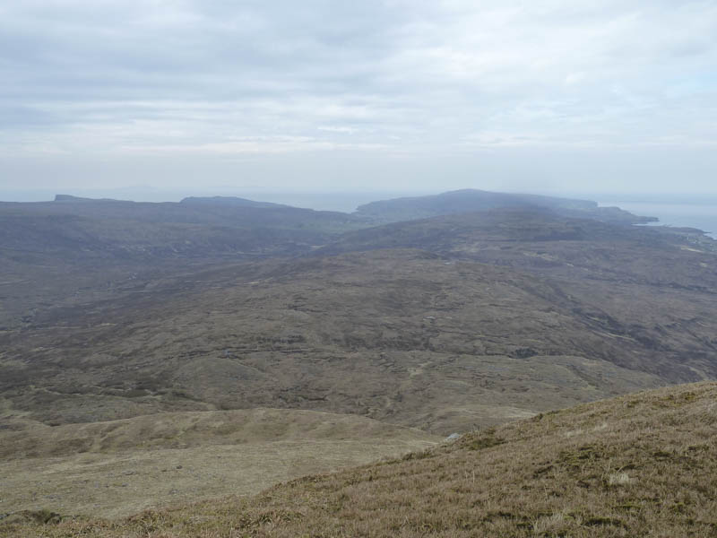
On leaving Healabhal Bheag I continued in a north-westerly direction, crossing the Tump, Beinn na h-Uamha, to reach the col at An Sgurran.
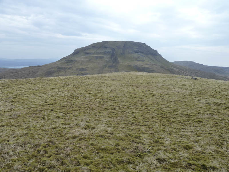
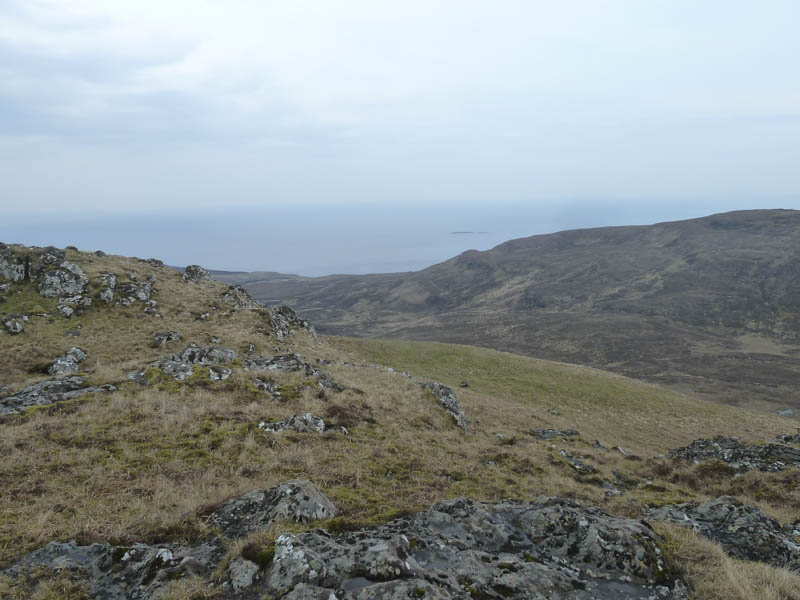
Here there was another stock fence and gate and from there I climbed Healabhal Mhor where the grassy vegetation on its wide summit area was rather boggy. A grassy mound 30 metres south-east of the large cairn was the highest point of this Marilyn.
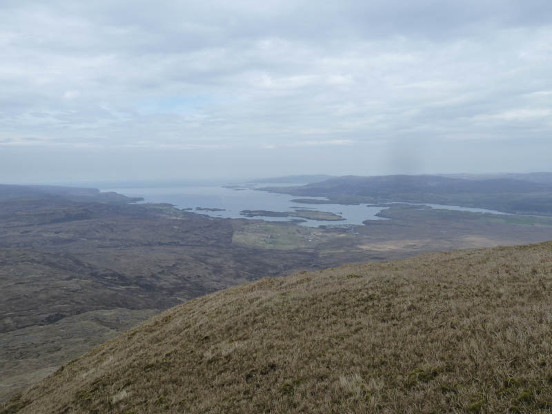
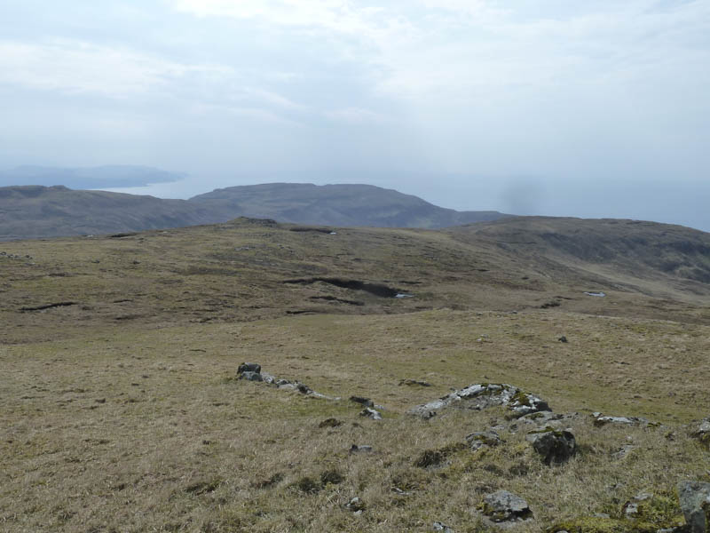
After another break I returned to An Sgurran, walked below the east face of Beinn na h-Uamha, then round the north side of Healabhal Bheag and onto its north-east ridge. I descended to the vehicle track beside Loch Bharcasaig, and then it was a short walk back to the starting point.
- Time taken – 8 hours.
- Distance – 19.25 kilometres.
- Height climbed – 1220 metres.