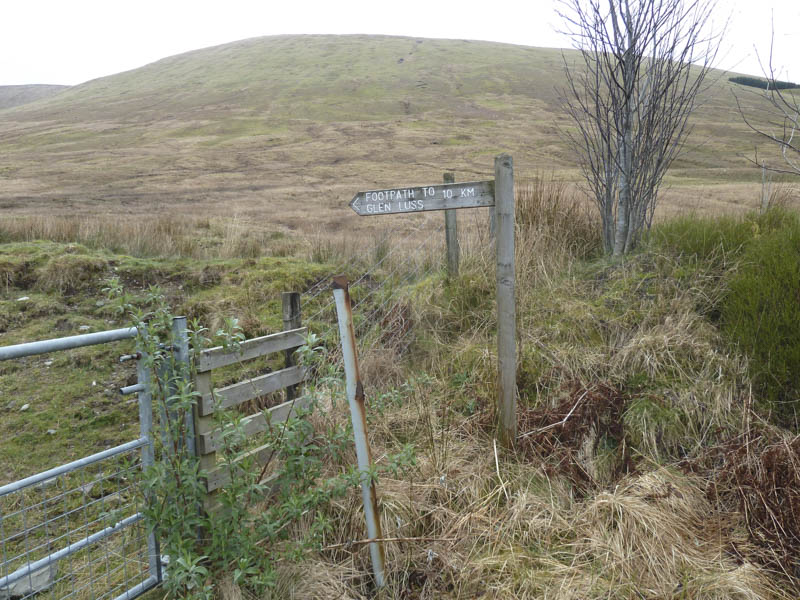
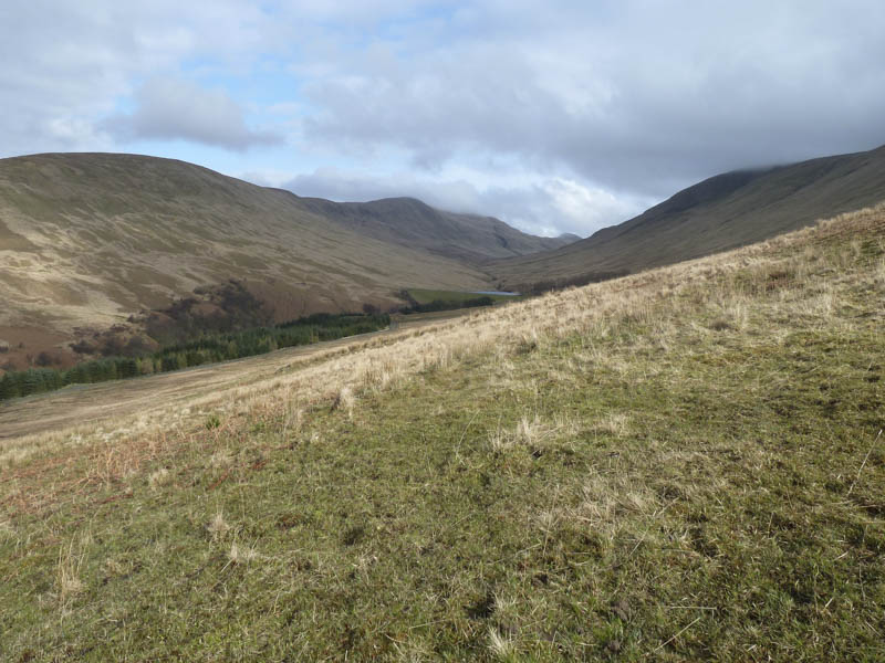
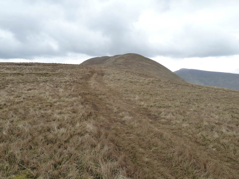
The plan was to ascend a couple of the Grahams west of Loch Lomond, so I left my car on the north side of the A817 Glen Fruin Road to the east of the Auchengaich Burn. We set off through a gate then walked north along a vehicle track on the east side of the burn which led to the dam further up the glen. However we soon left this track and commenced the ascent of Auchengaich Hill which involved a fairly steady climb.
Nearer the summit there were a few peat hags before we came across a rather wet quad vehicle trail.
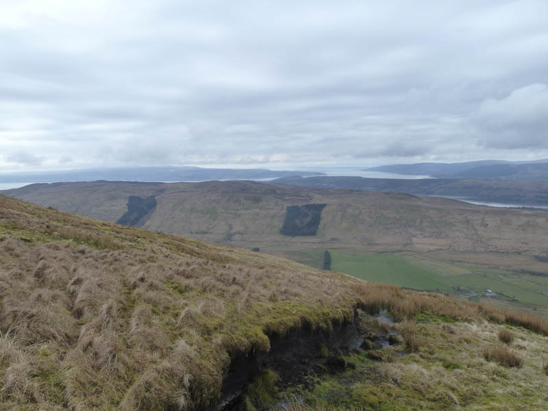
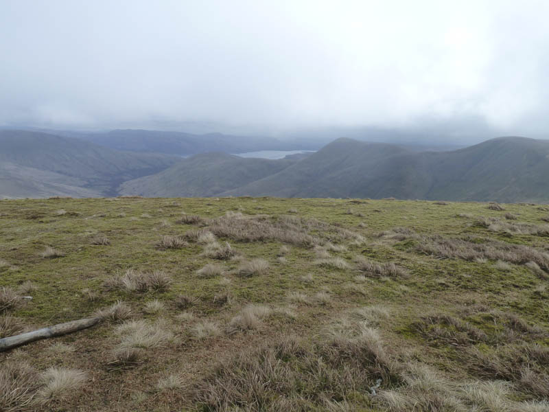
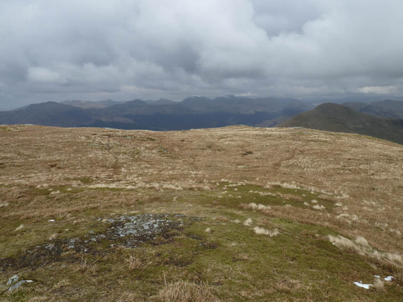
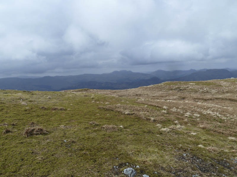
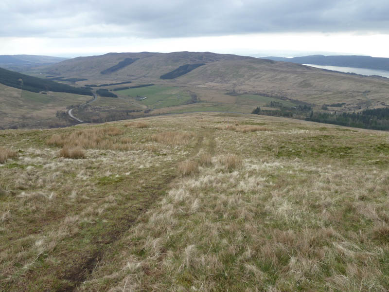
After a short descent we continued along the quad vehicle trail then ascended the Graham Top, Beinn Tharsuinn, where a cold wind was blowing.
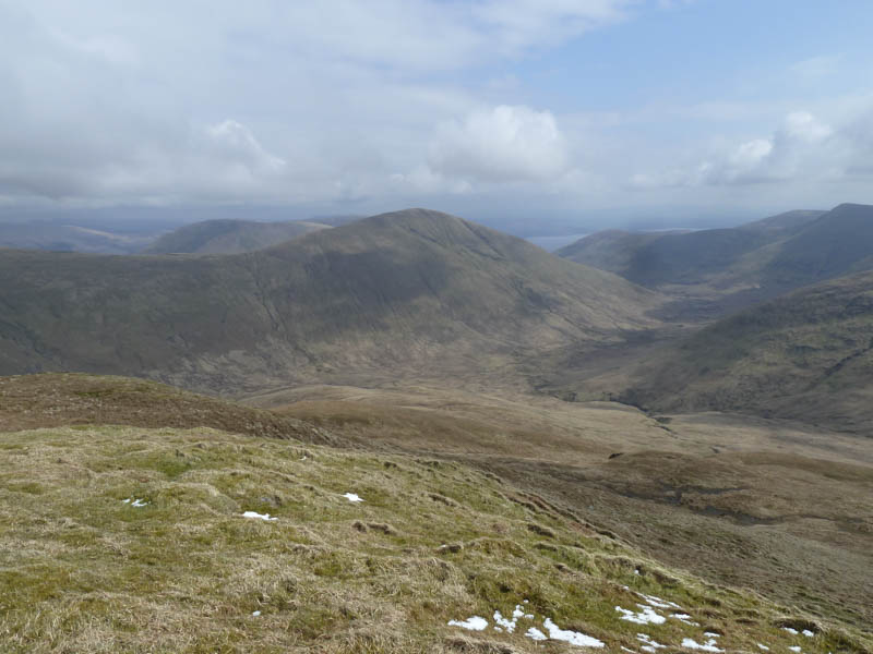
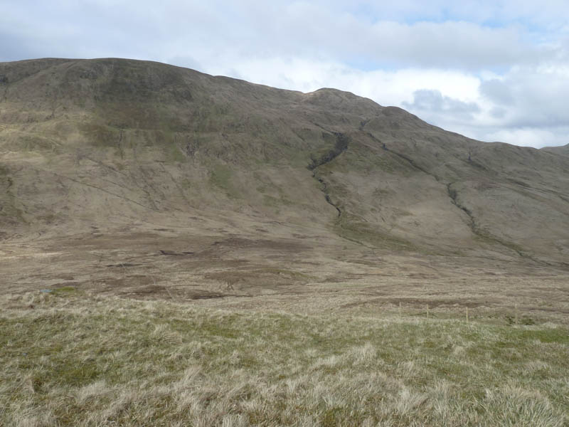
The descent north took us to the col with the Graham, Beinn Chaorach, where the old fence had recently been replaced. The fence and quad vehicle trail were followed to the summit of this Graham where the cairn was apparently the highest point. We also visited the trig point on the opposite side of the fence.
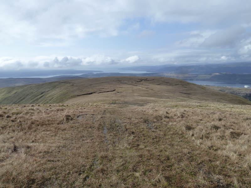
On returning to the west side of the fence we continued north along its edge before leaving it and making a gradual and later steep descent north-west rejoining the fence line lower down. A small herd of deer hinds, which were lying resting, soon spotted us and ran off.
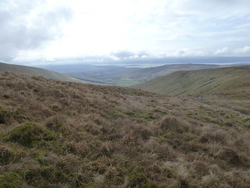
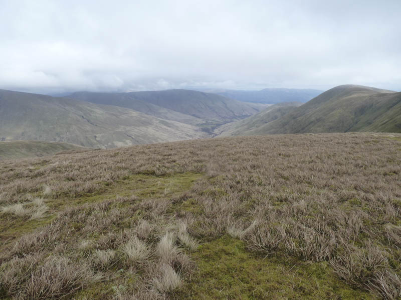
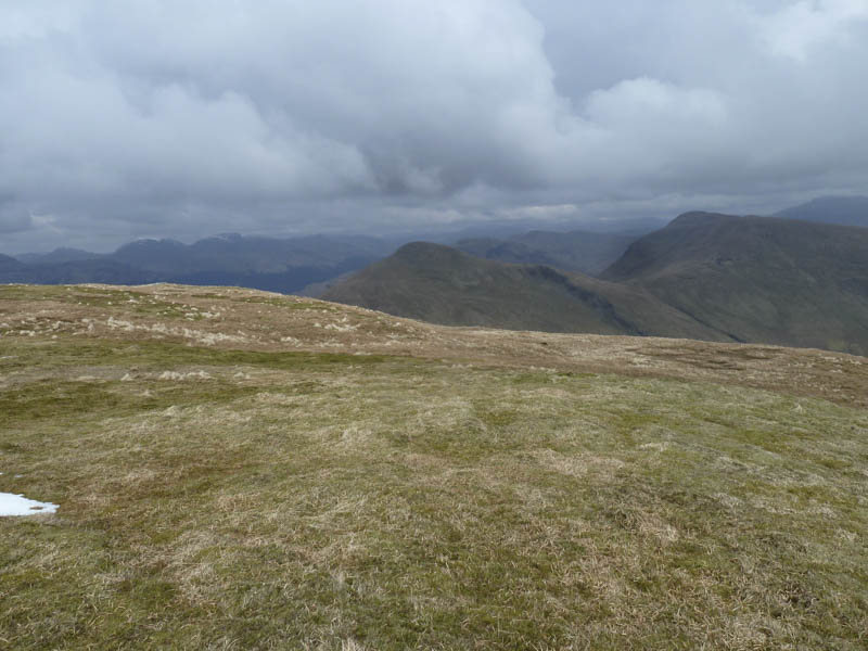
At the col with the Graham, Beinn a’ Mhanaich, the fence turned north-east but we maintained our north-westerly bearing making for a fairly steep climb arriving on the ridge just north of the 689 knoll. It was then a short climb to Beinn a’ Mhanaich’s summit cairn.
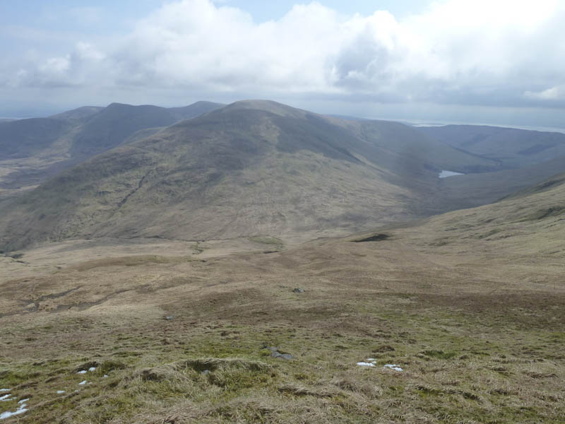
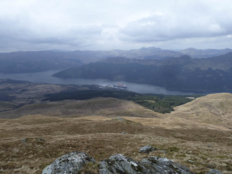
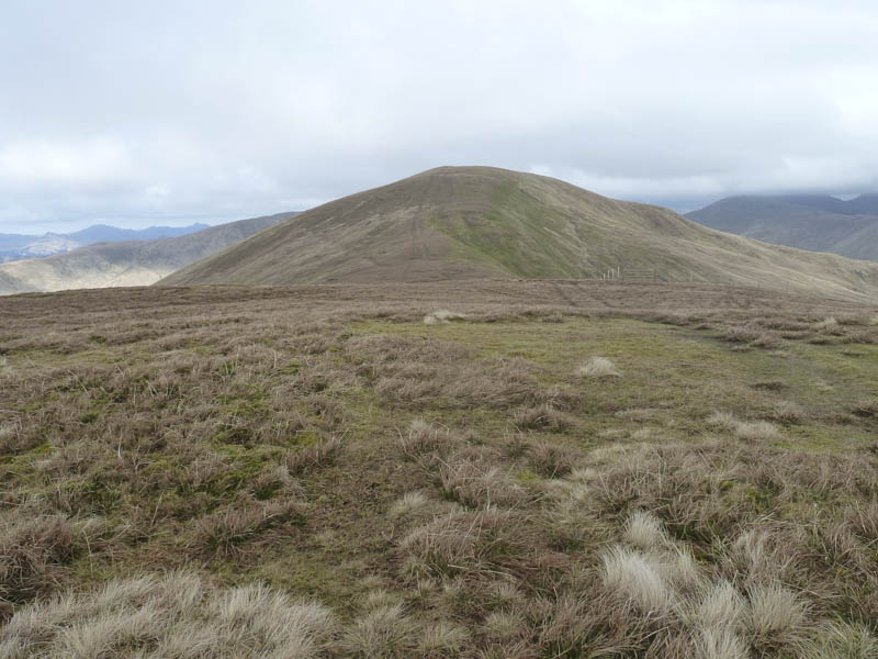
We found some shelter from the cold wind for a break before descending Beinn a’ Mhanaich’s South Ridge following a quad vehicle trail and passing numerous danger signs regarding a military firing range.
On approaching the main road we made the mistake of taking a short cut but the ground was wet and there was a double barbed wire fence to cross as well as a couple of ditches. We should have taken the longer route and used the gate! Once over the ditches it was then a short walk east along the A817 back to the car.
- Time taken – 5.5 hours.
- Distance – 11.25 kilometres.
- Height climbed – 950 metres.