With a forecast for inclement weather I drove to the car park at the head of Glen Nevis, reached from the A82 in Fort William. On my arrival several vehicles were already parked up with a few folks preparing to set off. Once geared up I left the car park onto the path through the Steall Gorge. The streams flowing off the hillside were in spate and the Water of Nevis was roaring through the gorge.
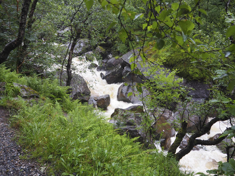
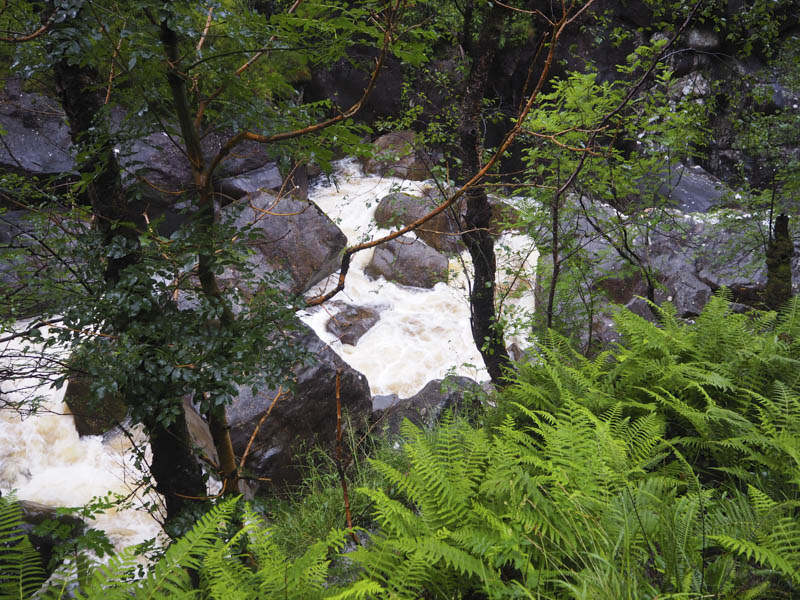
The path consisted of lots of wet stone and rock but once through the gorge and into the Meadows it levelled out and was of gravel making for easier walking. Several folks were down at the Steall Bridge, a three wire crossing.
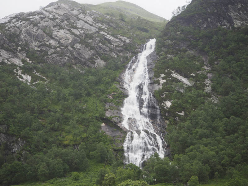
I continued along the path on the north side of the Water of Nevis to the wooden bridge across the Allt Coire Giubhsachan. Located on the other side was the Steall ruin.
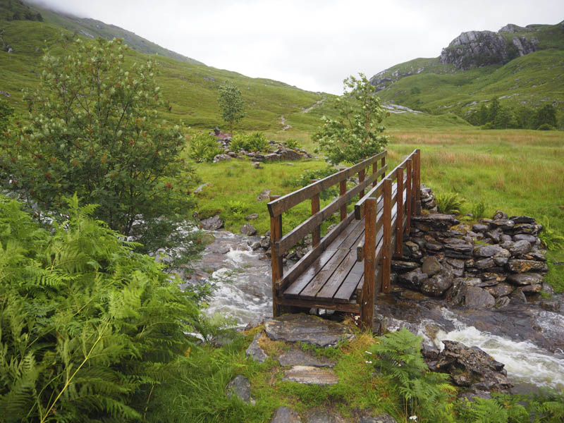
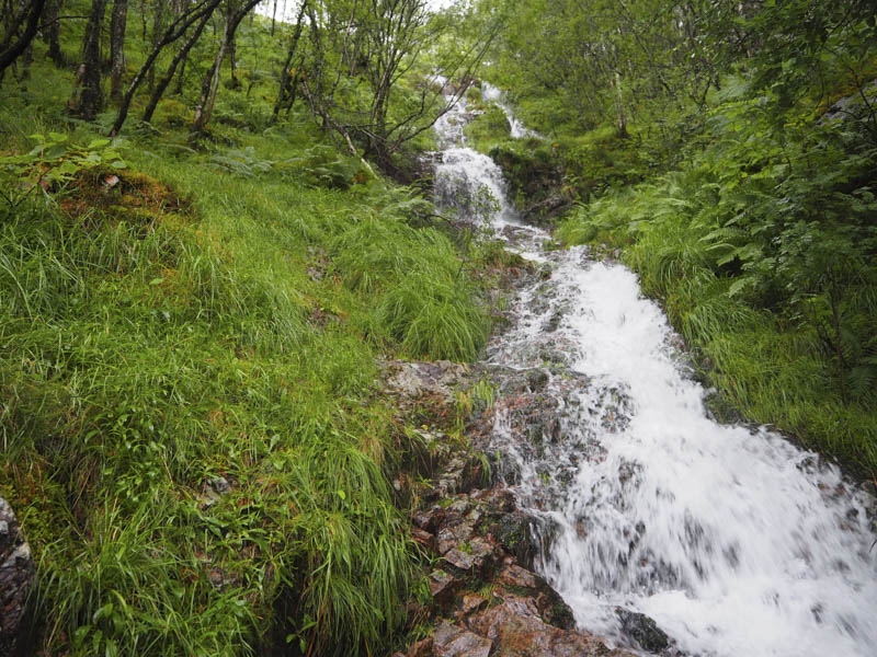
I remained on the west side of the stream, which was in spate, and headed up a rough path. The waterfalls were impressive with what appeared to be waves of water chasing each other. The rain was mainly light but with several brief blustery heavy showers.
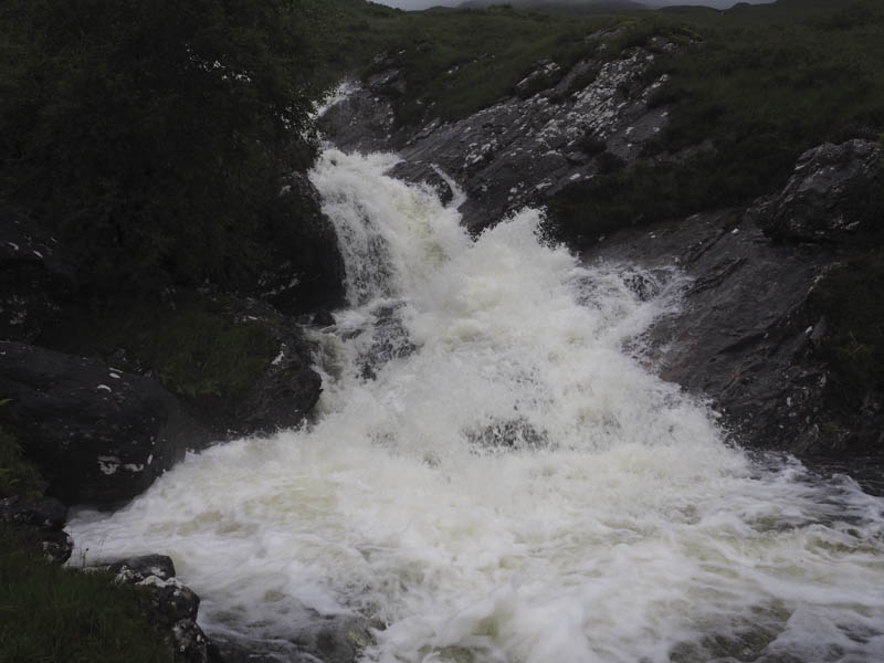
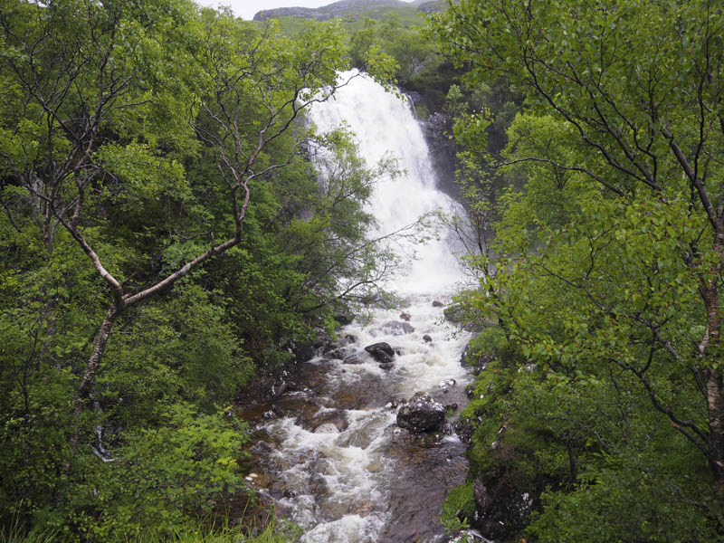
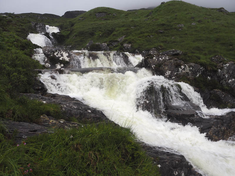
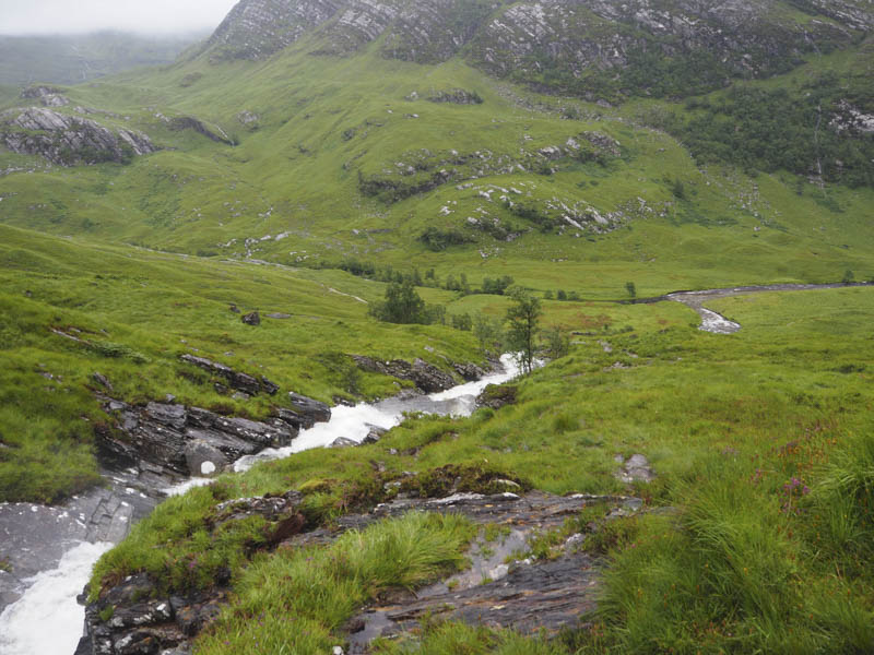
Higher up the ground levelled out, and at this point I left the path and walked through wet grass, round a few crags, and onto a knoll marking the summit of the Hump and Graham Top, Meall Cumhann. Beyond was a drop into the abyss as there were no views due to the low cloud.
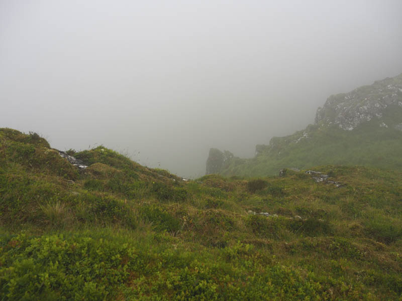
I returned towards the Allt Coire Giubhsachan but once out of the cloud cut across the rough grass to rejoin the path lower down. I then retraced the outward route passing lots of tourists. The car park was overflowing and there was a build up of traffic trying to leave.
- Time taken – 3.75 hours.
- Distance – 8.75 kilometres.
- Height climbed – 695 metres.